Day 13:
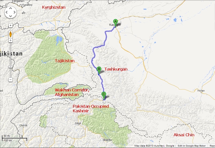
Route through Karakoram Highway from Kashgar to Kunjerab Pass via Tashkurgan:
A day with big dream started nicely, the weather was fine, the dusty ambience of last 2 weeks because of a severe sand storm almost gets settled, no further west disturbances predicted from West and hence we took a quick breakfast and start for the day. Our plan for night stay would be either around Karakul lake or in Tashkurgan on the way.
Another Chinese engineering marvel, this almost 1300km long Karakoram Highway (Sometimes called Sino-Pakistani Friendship Highway)connects Islamabad in Pakistan to Kashgar in China in a stunning roadway winding through some of the most inhospitable terrain in the world through great mountain ranges of Kunlun, Pamir, Karakoram and Himalayas, following one of the silk route to the valley of Hunza, Gilgit and Indus River. Chinese claims more than 400 lives lost in the road work but in Pakistan side people call this road by 1 per km, that means 1 people at least died per km of road build in that side. The highway built in 1967 was again an incredible feat of Chinese engineering. Travelling in this road is still unpredictable specially in month of July / August due to flash floods and rock slides which are very frequent during that time.The highway cuts through Karakoram Ranges at Kunjerab Pass reaching at 4733 meters.
South of Kashgar the Karakoram Highway (KKH) crosses gebi plain towards a series of mountains to the south. It approaches the rocky foothills and enters the narrow gorge of the Gez river, a majestic yet slightly intimidating terrain that remains a dangerous road to travel despite of advances in modern day engineering. Here we faced the checkpoint where our permits made in Kashgar were checked and passports were verified. Hasan prepared a permit for us on day before in Kashgarh, so we proceeded further while ascending up to 4000 meter and then dropping slightly to a vast high altitude plain with salt lakes and sand dunes, here we found Kyrghiz traders supplementing their income by selling semiprecious stones and other local handicrafts to tourists, more of shopping my intention was to capture few nice portraits there.
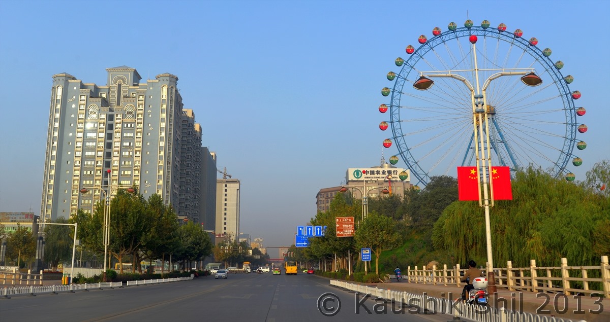
Kashgar Town in morning:
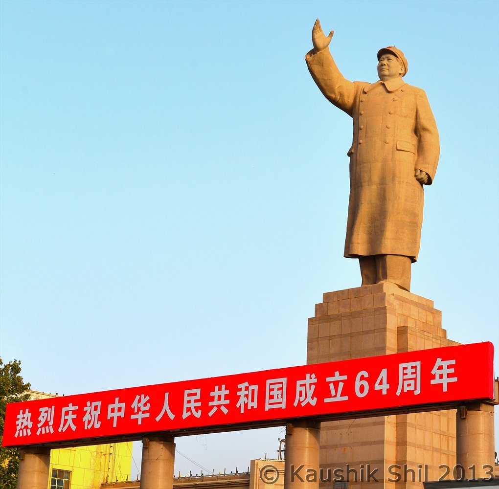
Largest Statue of Mao in whole China is located at Kashgar, desperate attempt to show Kashgar belongs to China, yes it is, who argues ![]()
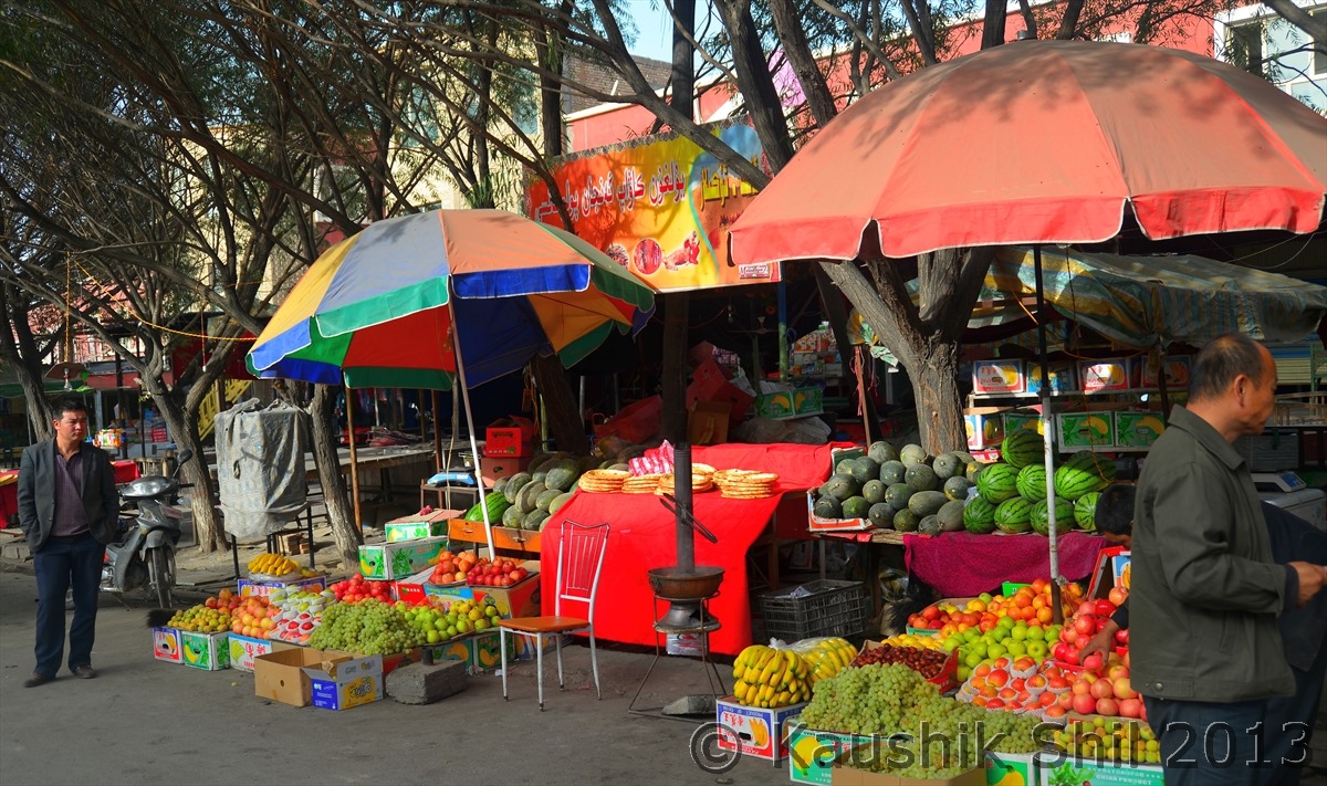
Fruit Markets in the side of Karakoram Highway:
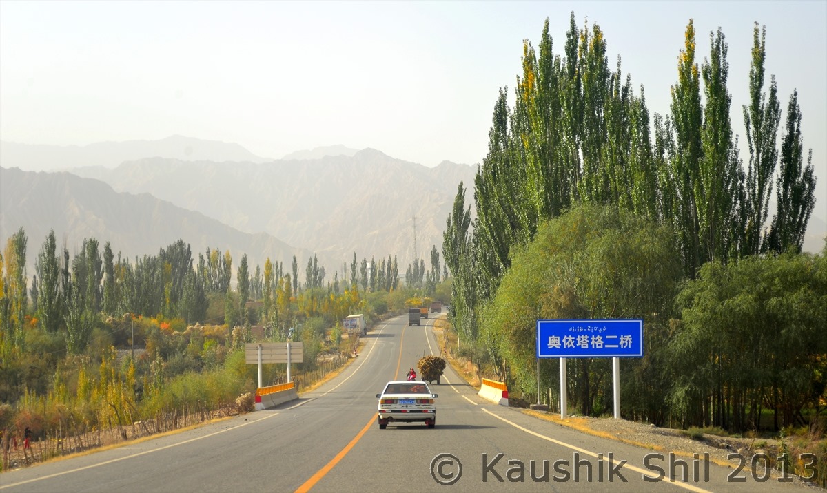
The dream comes true, Driving on Karakoram Highway (KKH):
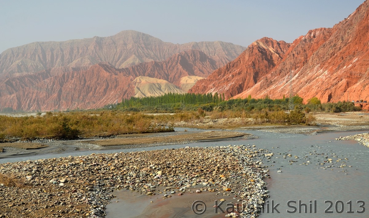
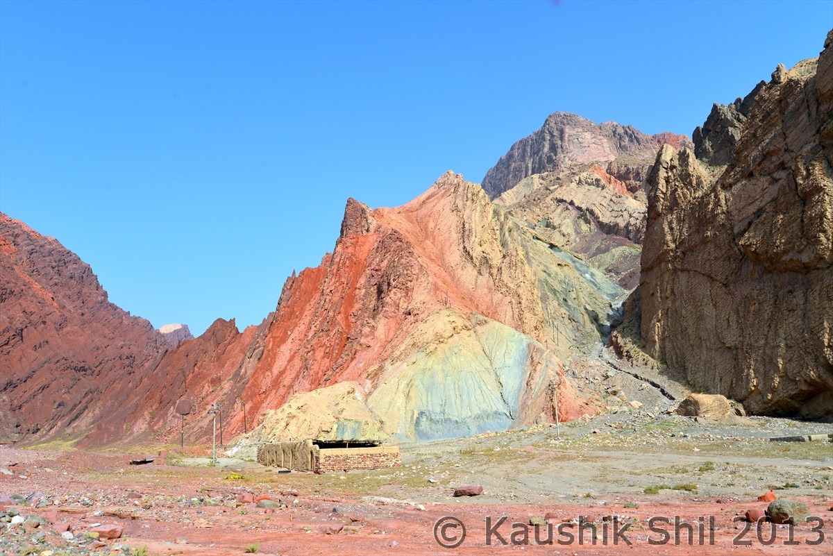
Gez River with colorful Mountains:
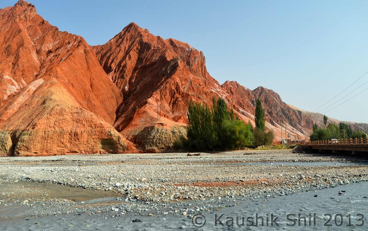
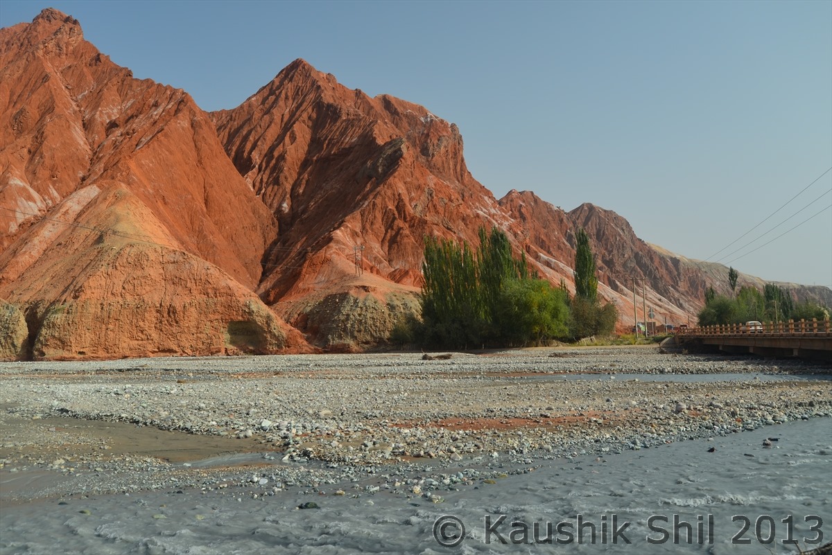
Colorful Canyons beside KKH:
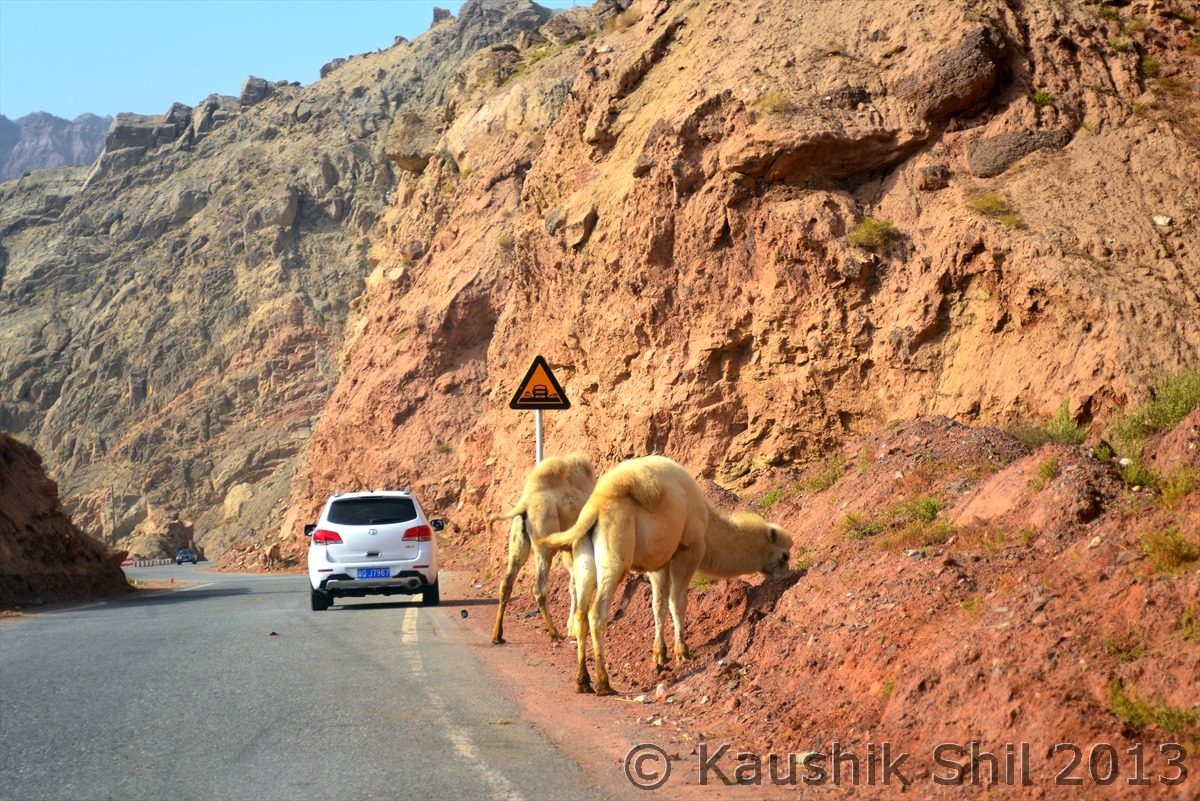
Bactrian Camels grazing beside KKH:
These colorful mountains were the source of colorful fresco of 3rd century depicting Jataka Tales inside Buddhist Caves in this region:
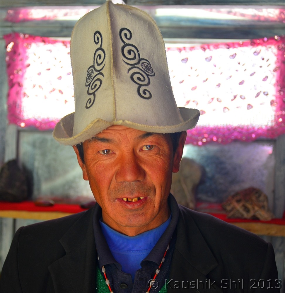
Kyrghiz Stone seller:
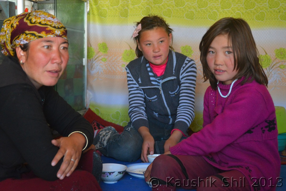
Kyrghiz Family who hosted us near Karakul Lake with warm Tea and Nan:
Day 13 Continued…
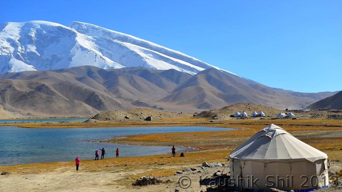
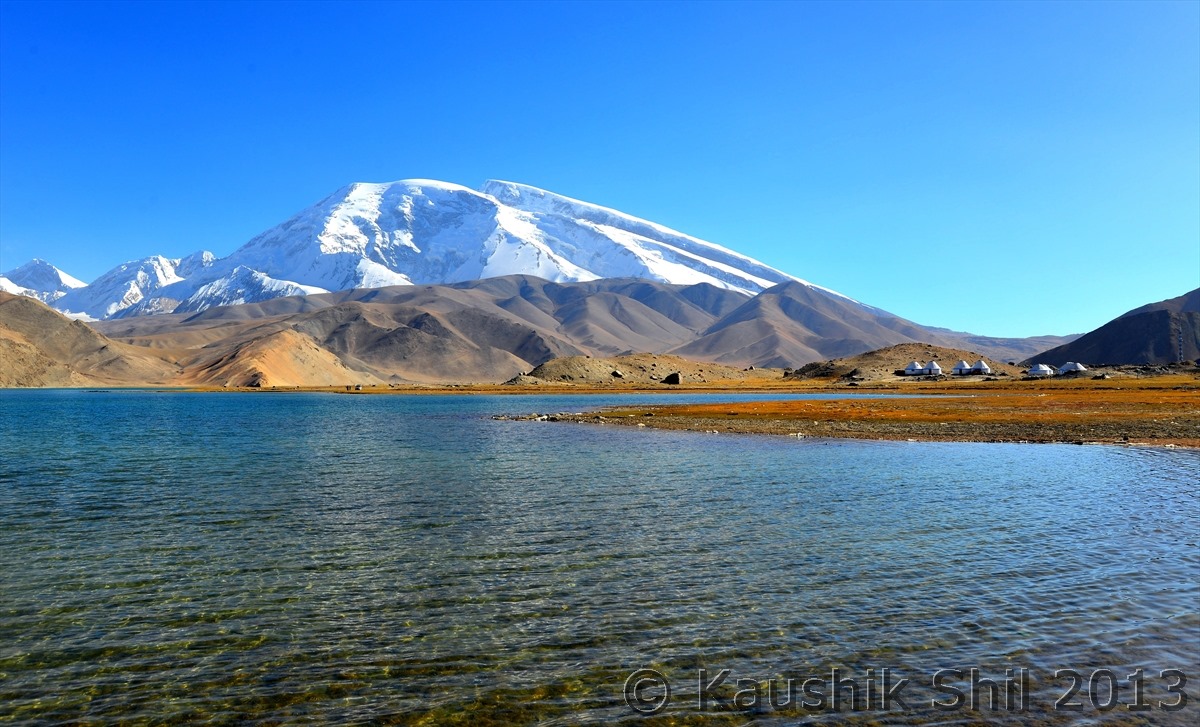
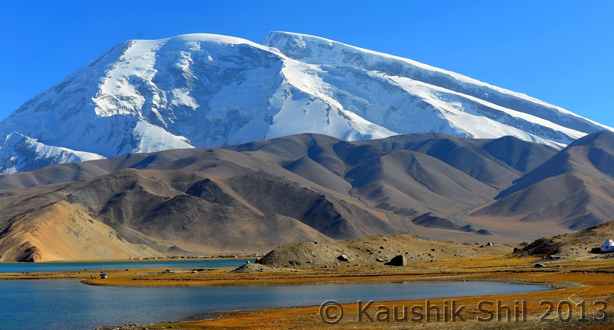
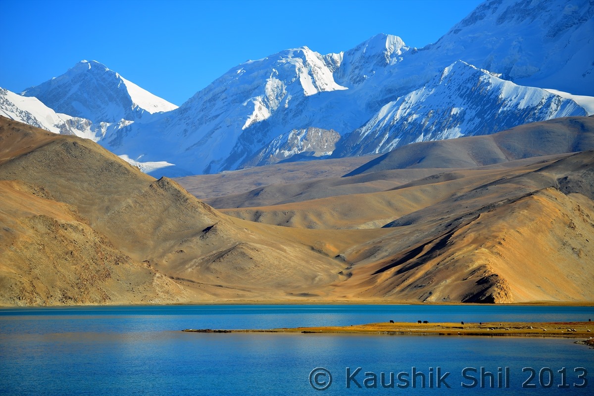
Down further south at an altitude of 3500 meter the road reaches the shores of Karakul Lake, a gem in a stunning mountains setting of Kunlun. The high windswept plateaus between parallel ranges that constitutes Pamirs , the “Roof of the World” are home to nomadic branch of Kyrghiz people who lives in yurts. We have seen horses, yaks, sheep and camels graze on the rich pasturage around this high altitude lake, surrounded by majestic Kongur and Muztagata peaks.The views are really dominated by Muztagata Mountain (means “Father of Ice Mountains” in Uyghur) is 7500 mtr and Kongur Tag to the North at 7700 meter height. Kongur is the meeting point of Kunlun Mountain Ranges to west to Pamir. We initially thought of staying at Yurts but in October all water gets frozen during night and night temperature plummeted far below zero, we decided to stop at Tashkurgan where we would get better hotels. So instead of a night stay, we waited till evening to watch the fabulous sunset on backdrop of Kongur and Muztagata and then we proceeded to a 4100 meter pass just after the lake from where one can have even a closer look of Muztagata and subsequently dropped to a broad valley at 3200 meter to arrive at Tashkurgan, place of our night stay.
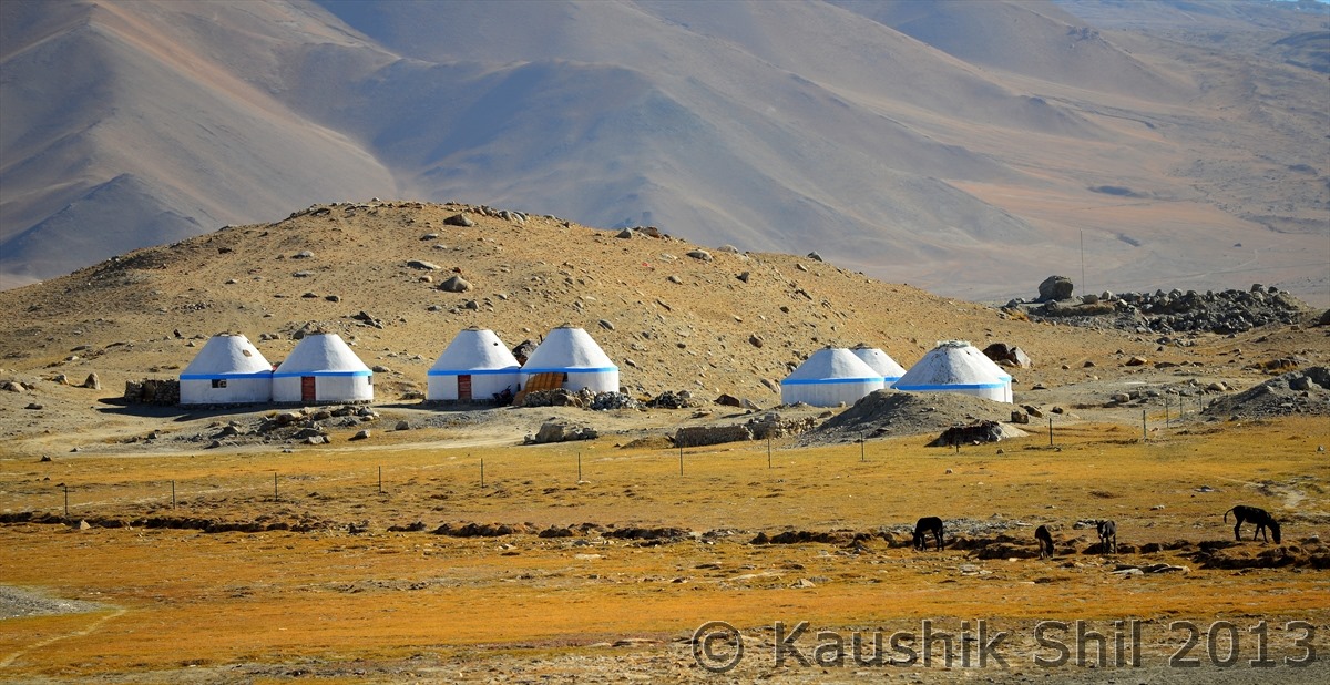
Kyrghiz Yurts:
Karakul Lake and Muztag Ata:
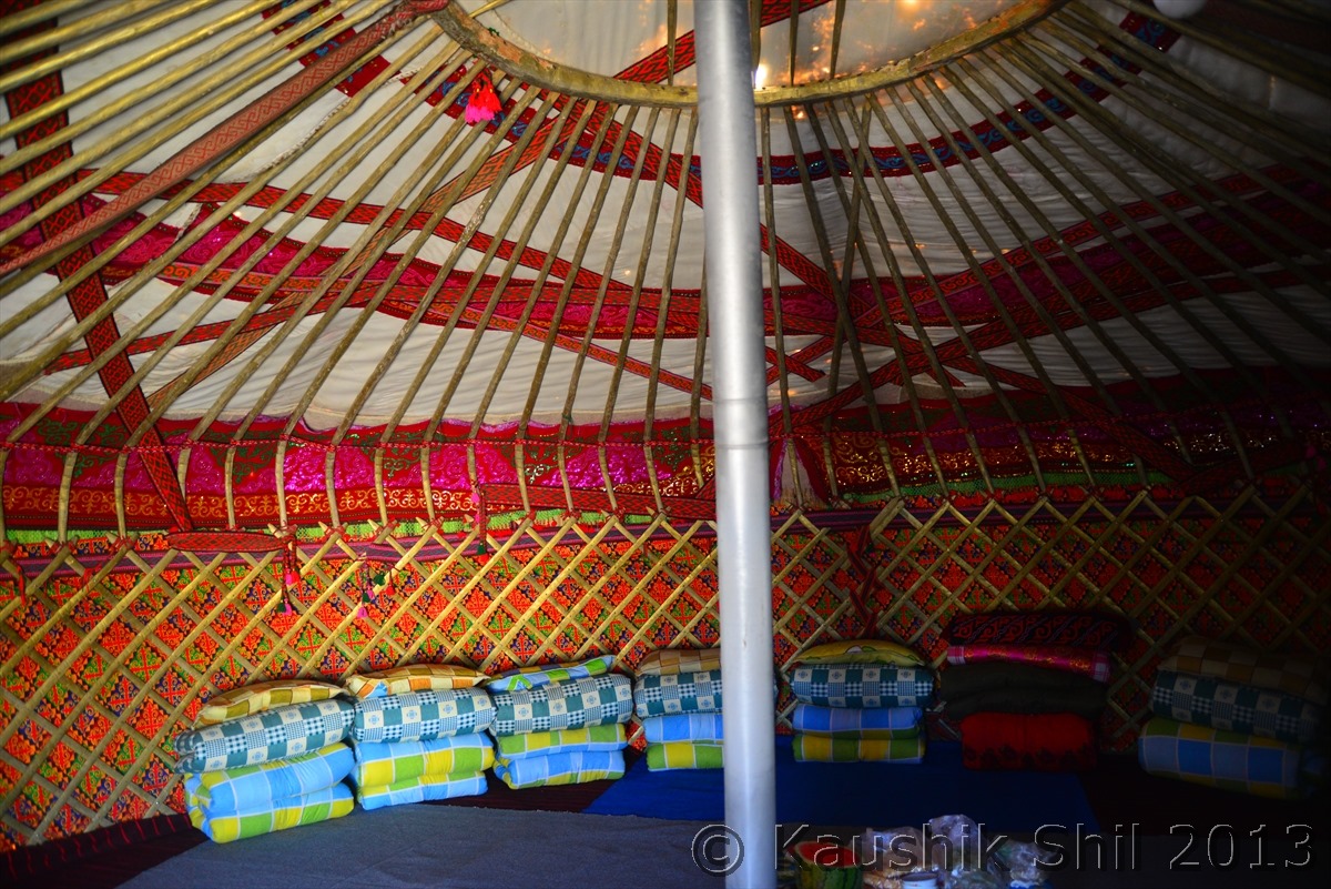
Inside the Kyrghiz Yurts:
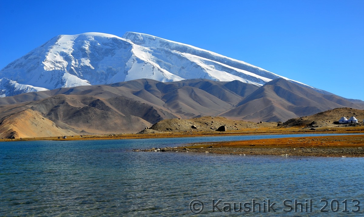
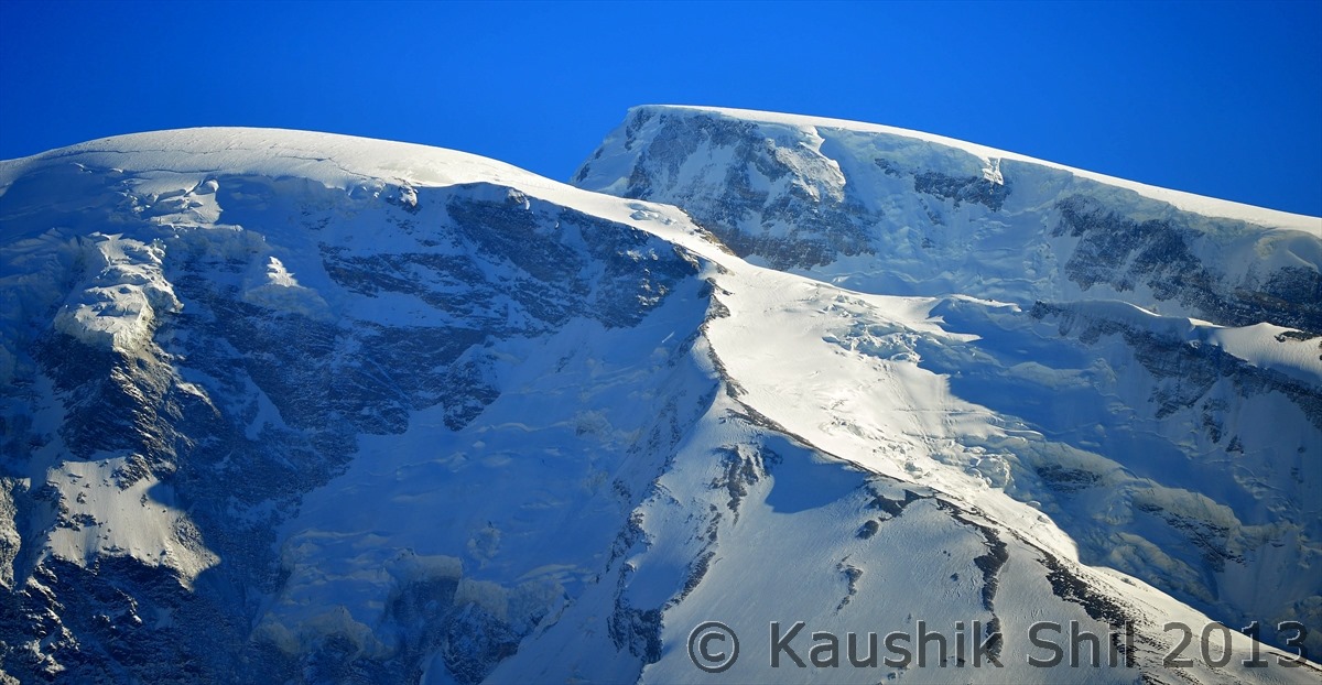
Muztag Ata is the 2nd highest peak in Kunlun at a height of 7700 mtr in Pamir Plateau :
Muztag Ata in Uighur language means Father of Ice Mountains:
Kyrghiz Huts:
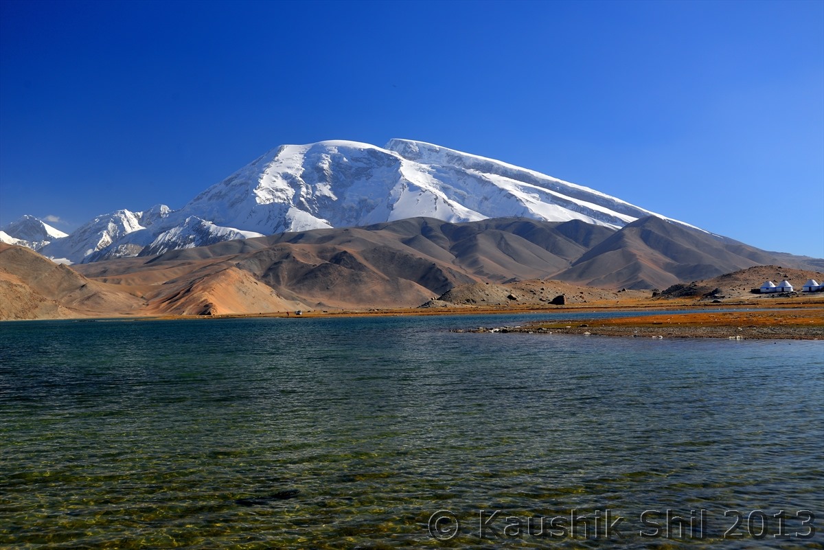
Serene Landscape:
Previous: Day 12
Next: Day 13/Part 2
