Amazing Arunachal – Back to Tinsukia via Along, the Journey Ends

Day 19:

This day was actually the start of our return journey and for next 4 subsequent days we would keep returning via Jengging, Along, Shilapathar, Dibrugarh and Kolkata.

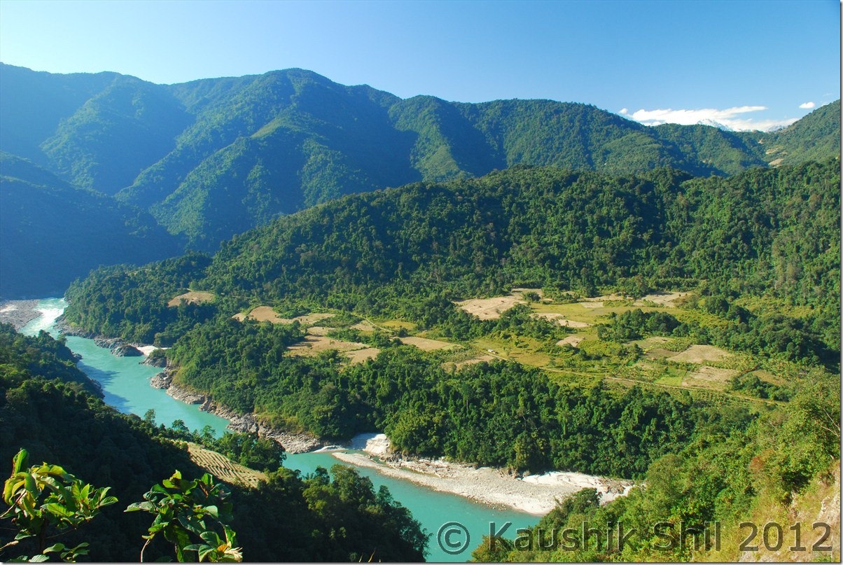
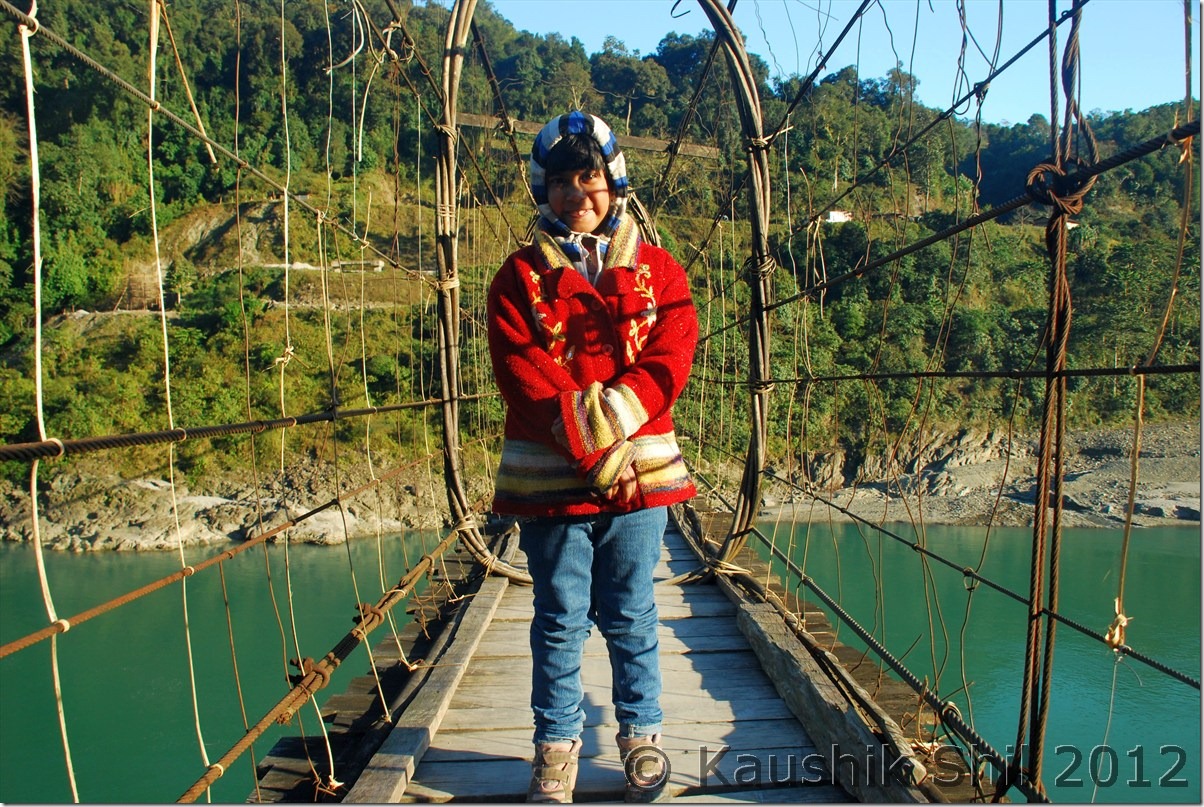
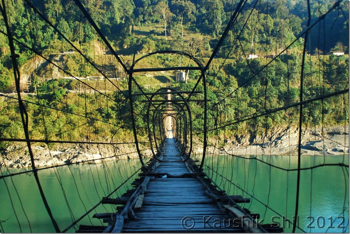
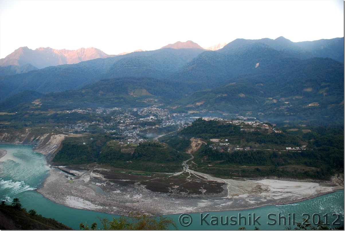
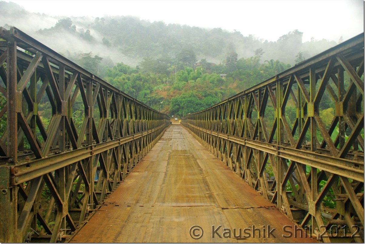
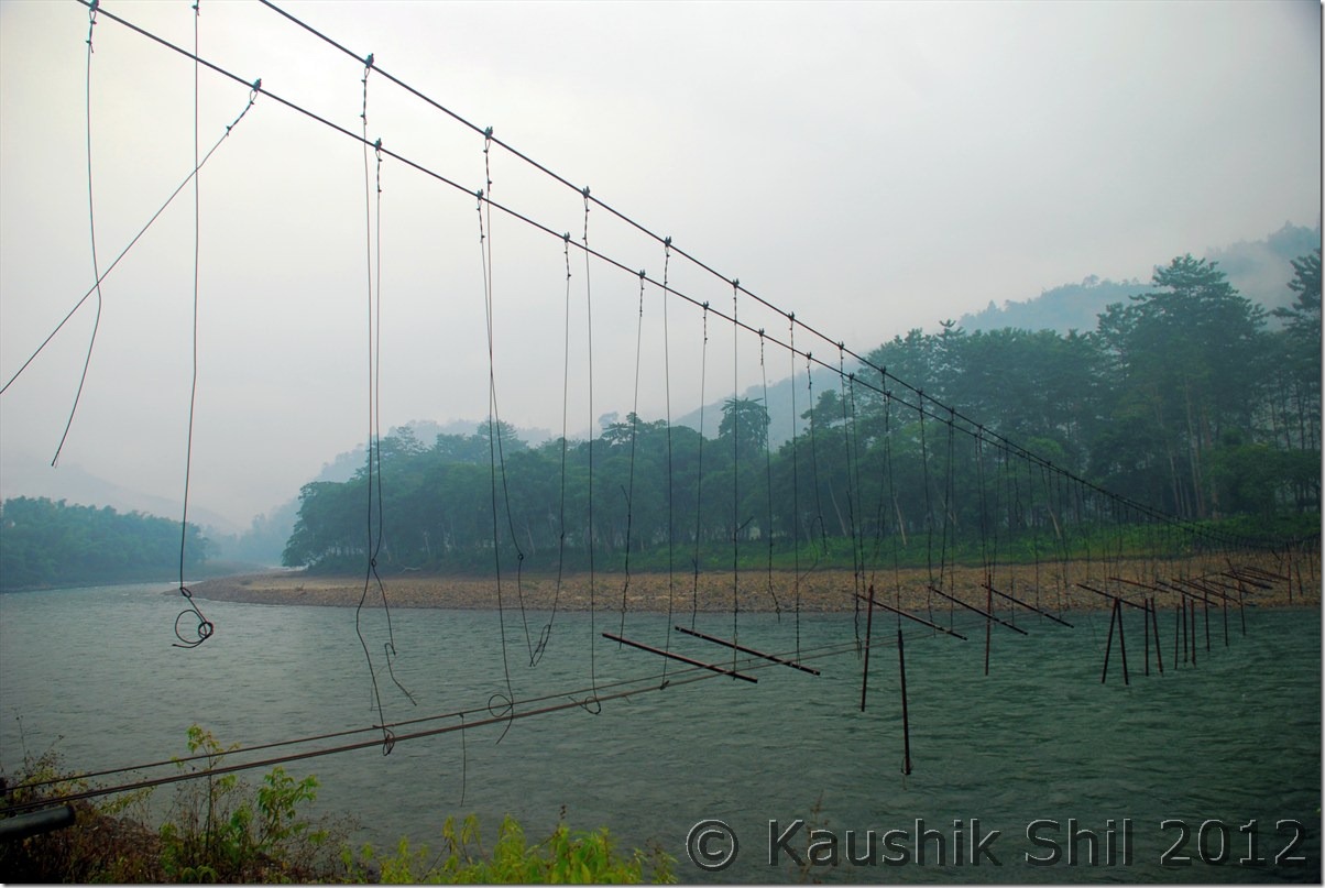
First stop was again back at Jengging but we knew the road conditions very well and thought of starting early by 6.00 in morning. We had a tough time in Tuting to find diesel as there was not much electricity available in these places during winter (due to low water level in Siang and these places depend mainly on Hydro Electric) diesels were very costly as they used in generators locally and used for local jeeps / cars etc. Somehow from a Bengali shop keeper we managed to get 15 Ltrs of Diesel and that was enough for us to reach up to Jengging. We took our late breakfast / early lunch at Migging as we knew for next 100 km we would have nothing to eat. Siang as usual was following us, this time in left and we took relatively fewer stops as we wanted to explore Gandhi bridge in Moying. We found the locals here still were hunting small animals, birds with their guns (everyone in Arunachal is having gun license), they are really sharp shooters even from a young age. We reached Moying around 3 in afternoon and tried to explore the 2 km downwards towards the river. This was again a no road and we somehow managed to reach the point and had a walk on Gandhi Bridge. Though again a similar kind of suspension foot bridge but certainly it is much better built than other such bridges we encountered. We could this time spot the Yingkiong town very clearly just in opposite side of the Siang. The ferry was running regularly carrying the jeeps and people. There is regular Jeep services between Tuting and Yingkiong, those cross Siang regularly from this point. From Yingkiong there is Shared Sumo service available for both Along and Pasighat. We spent quite sometime in Moying and so when we finally reached Jengging, it was already evening but our caretaker was so kind he arranged for Cha and Pakoda which was really required after such a tiring day. We enjoyed the dinner too and retired for the day. This was our 2nd night in Jengging Circuit house, undoubtedly the best one I stayed if I consider location and warmth I received there.

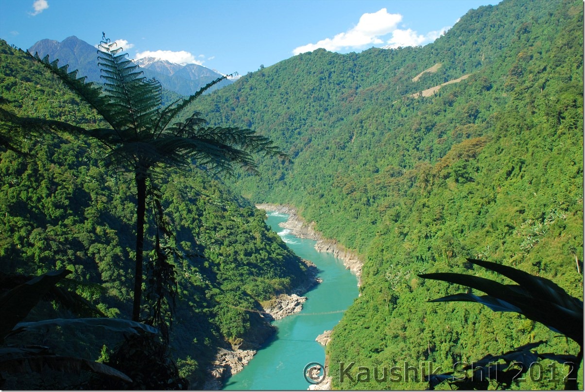
Siang on the way back:

DSC_0891

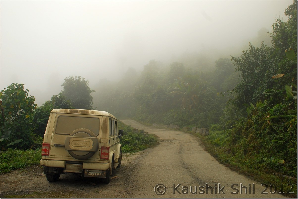
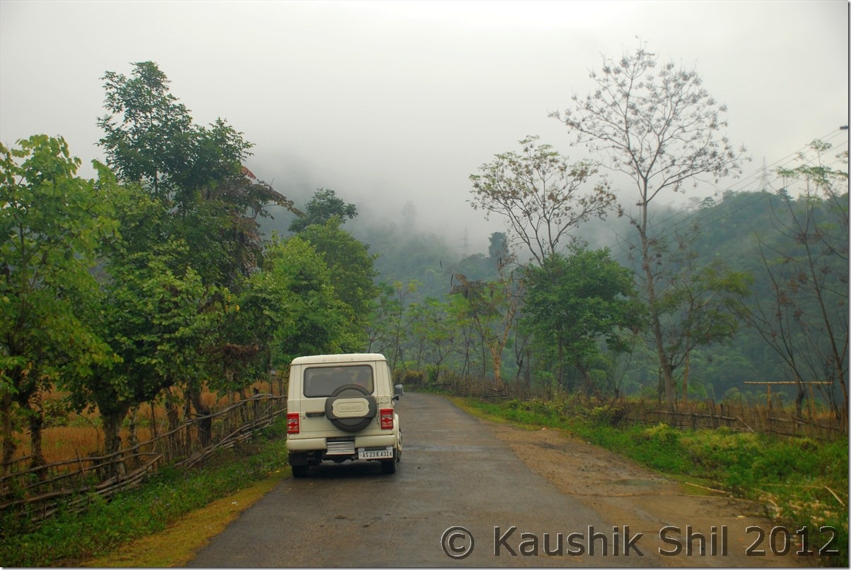
Driving through the fog and mist:

DSC_0893

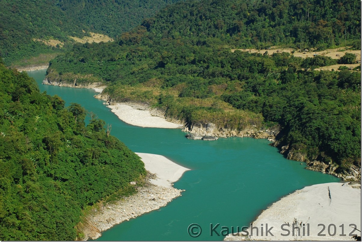
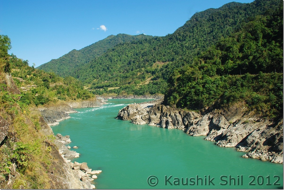
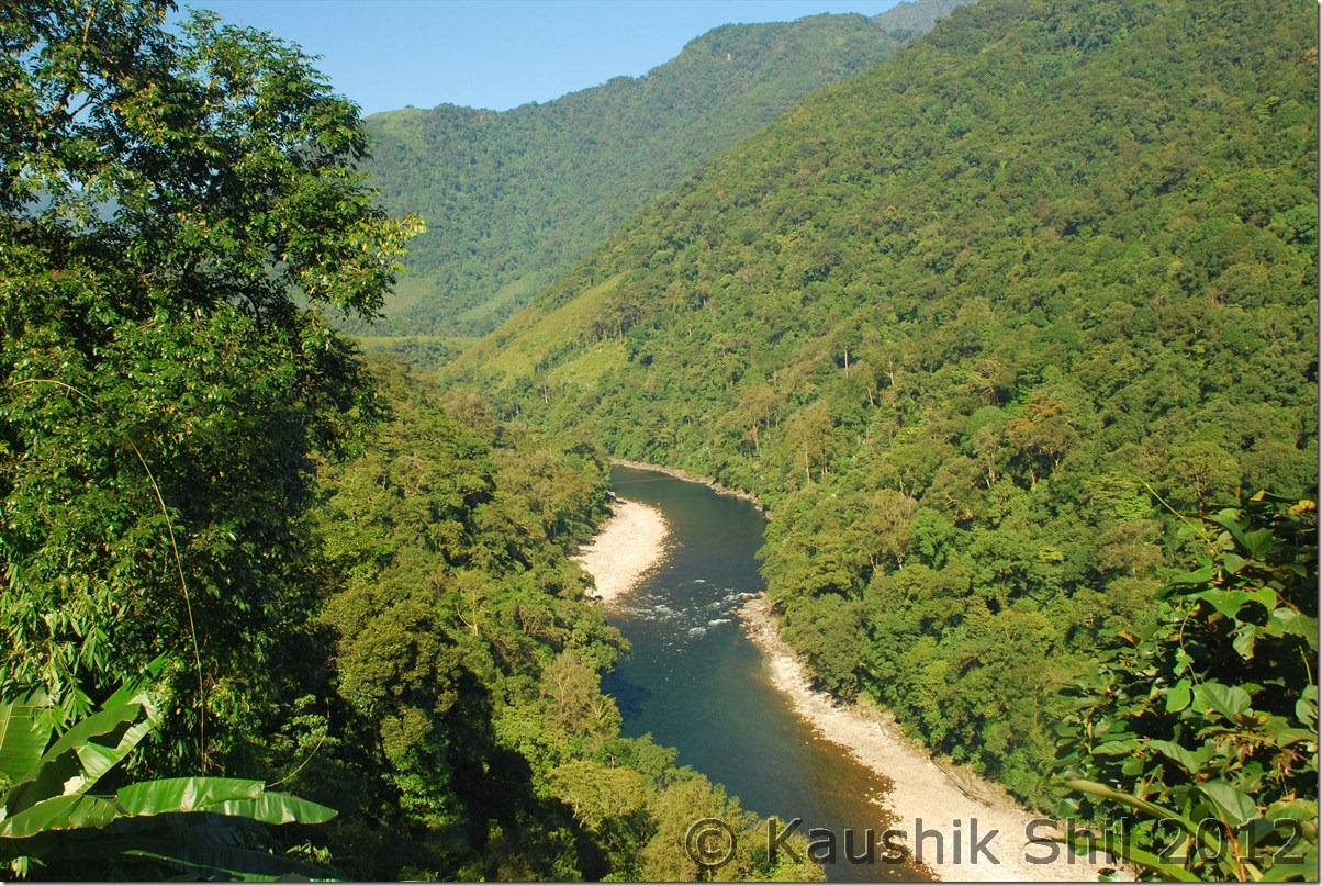
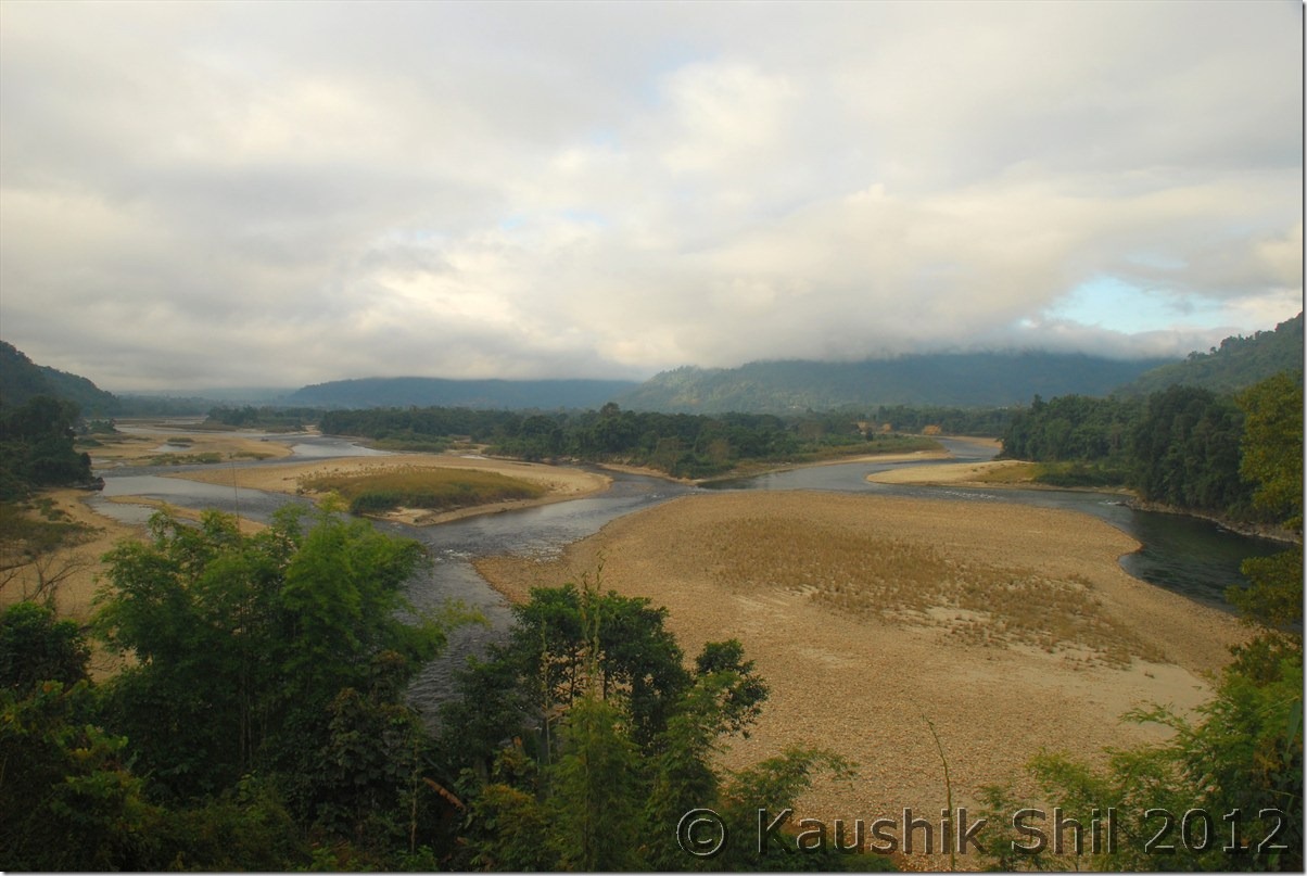
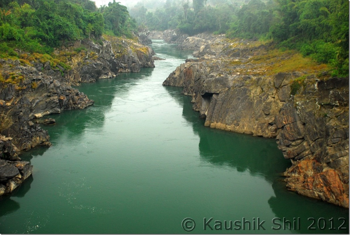
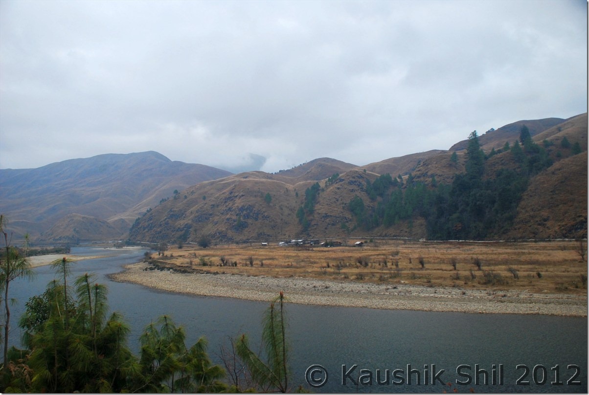
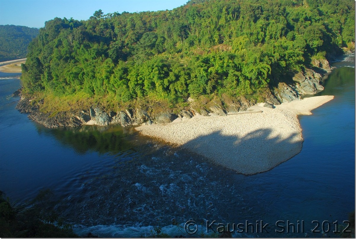
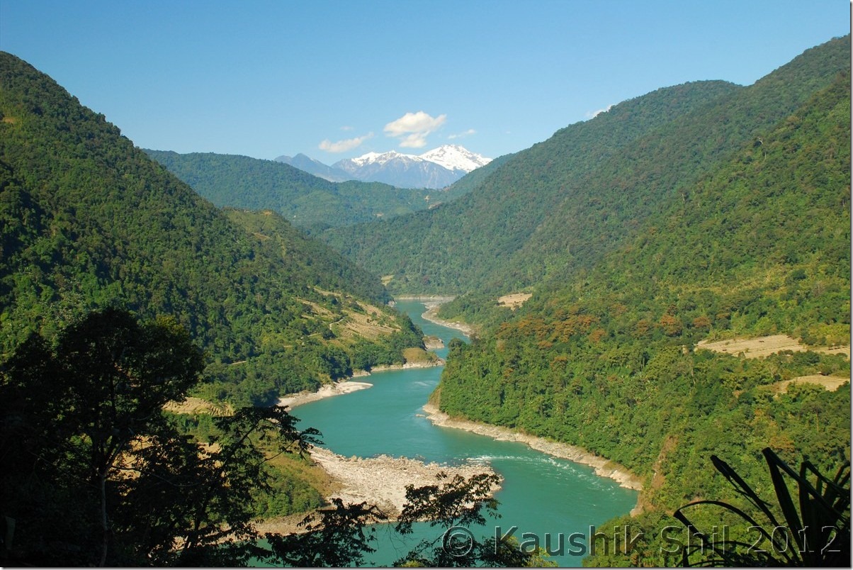
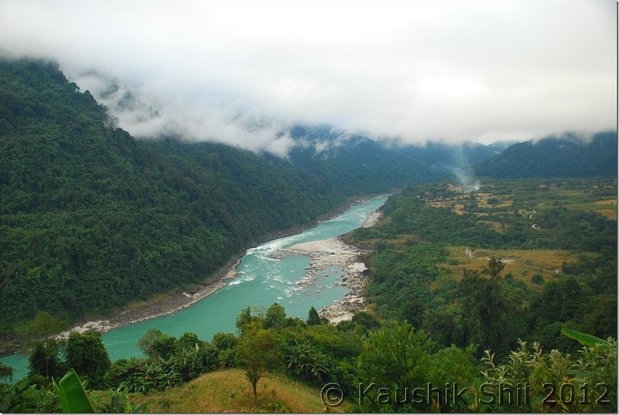
Siang still accompanying us:

DSC_0896 DSC_0898

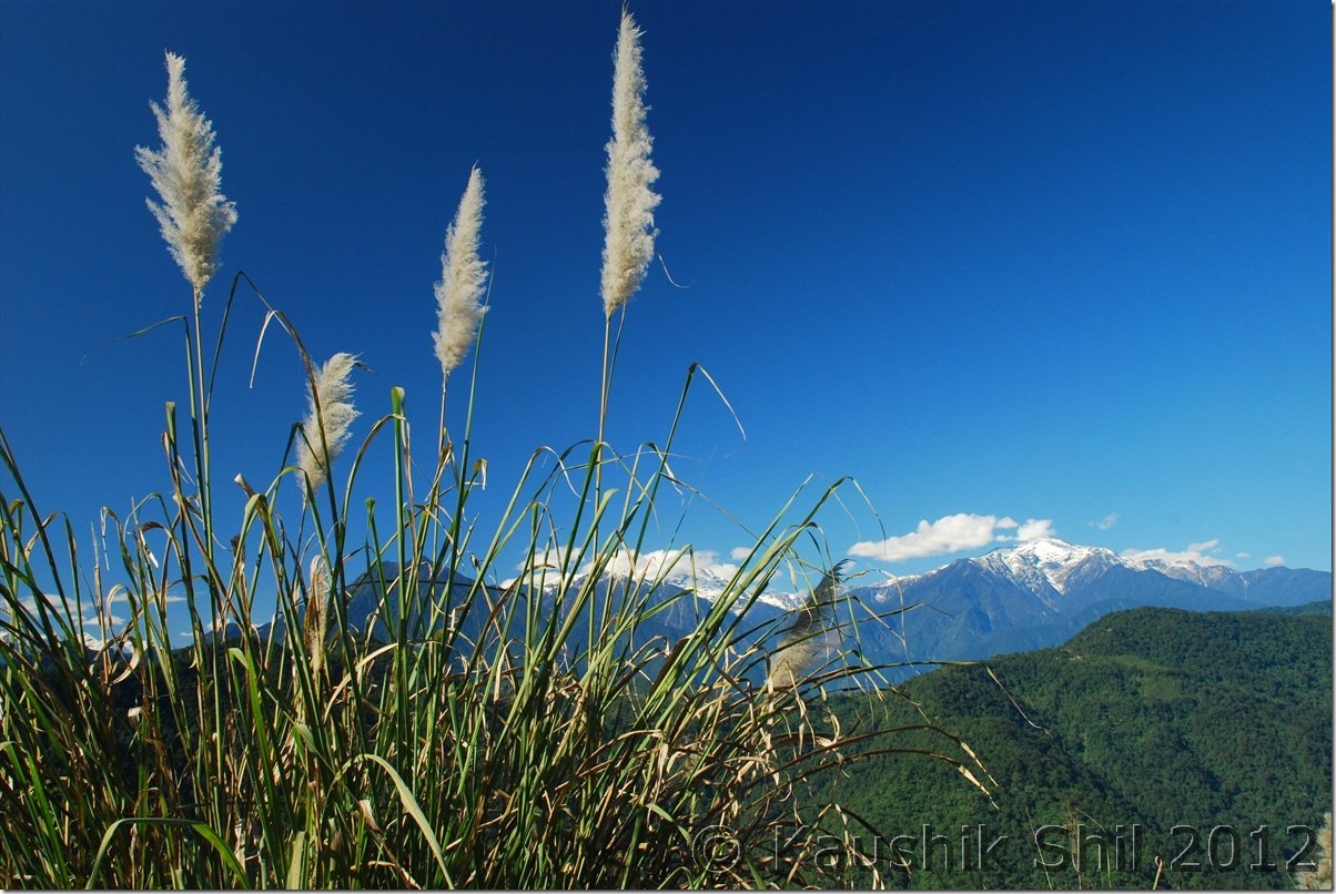
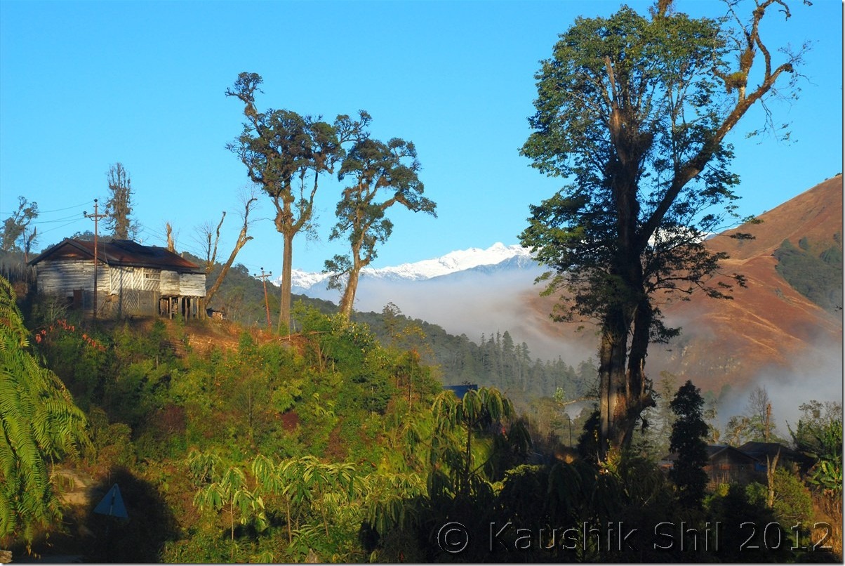
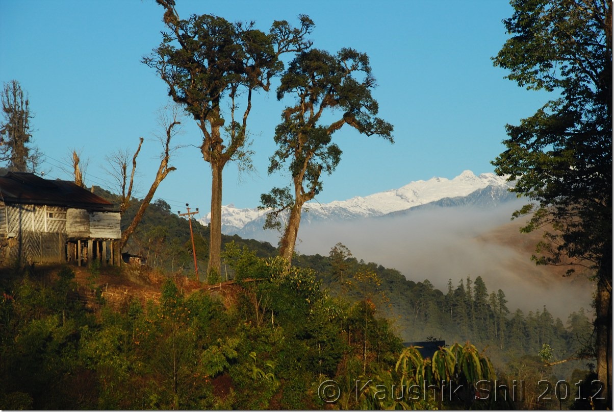
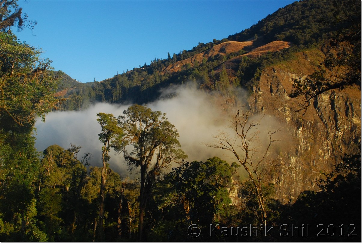
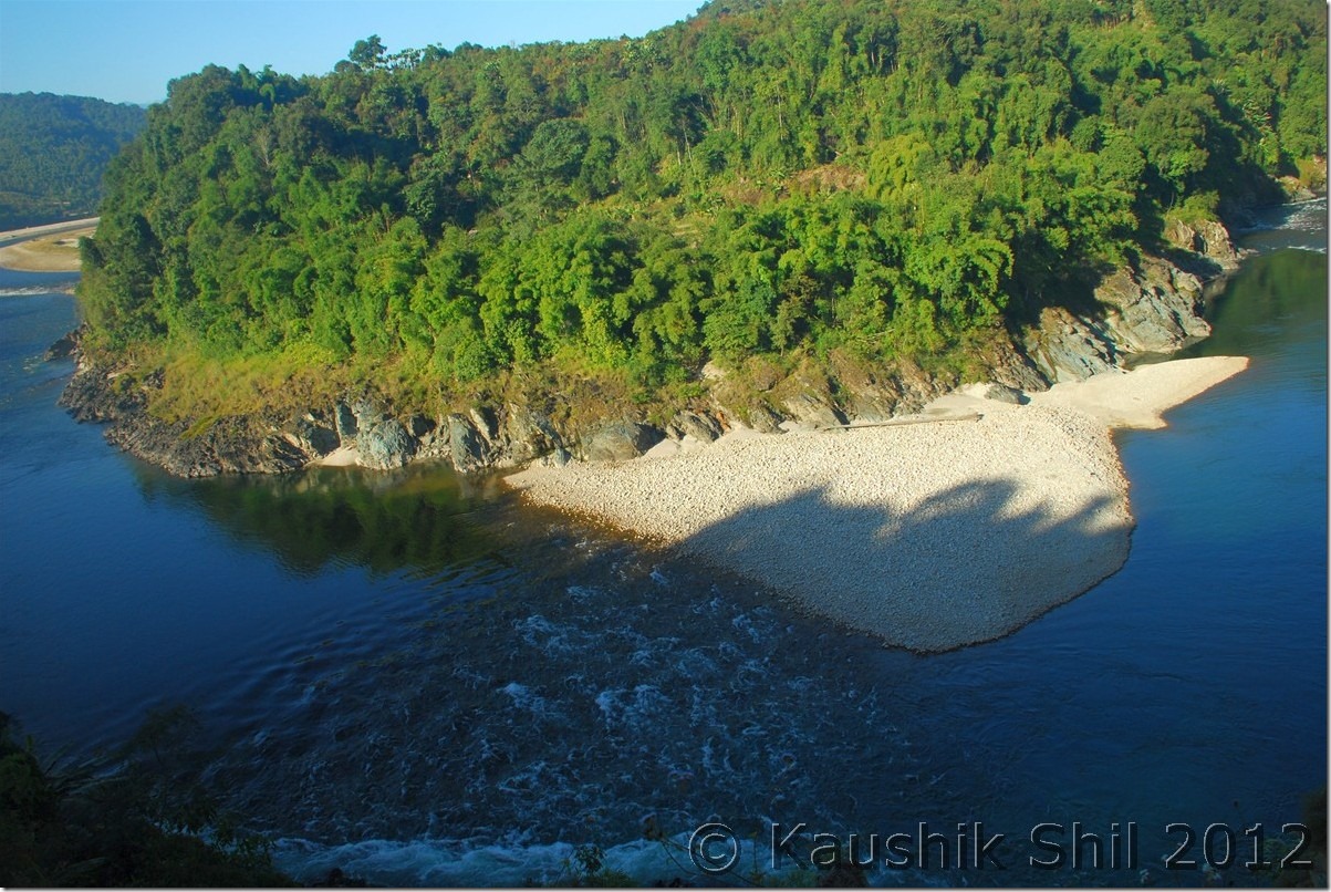
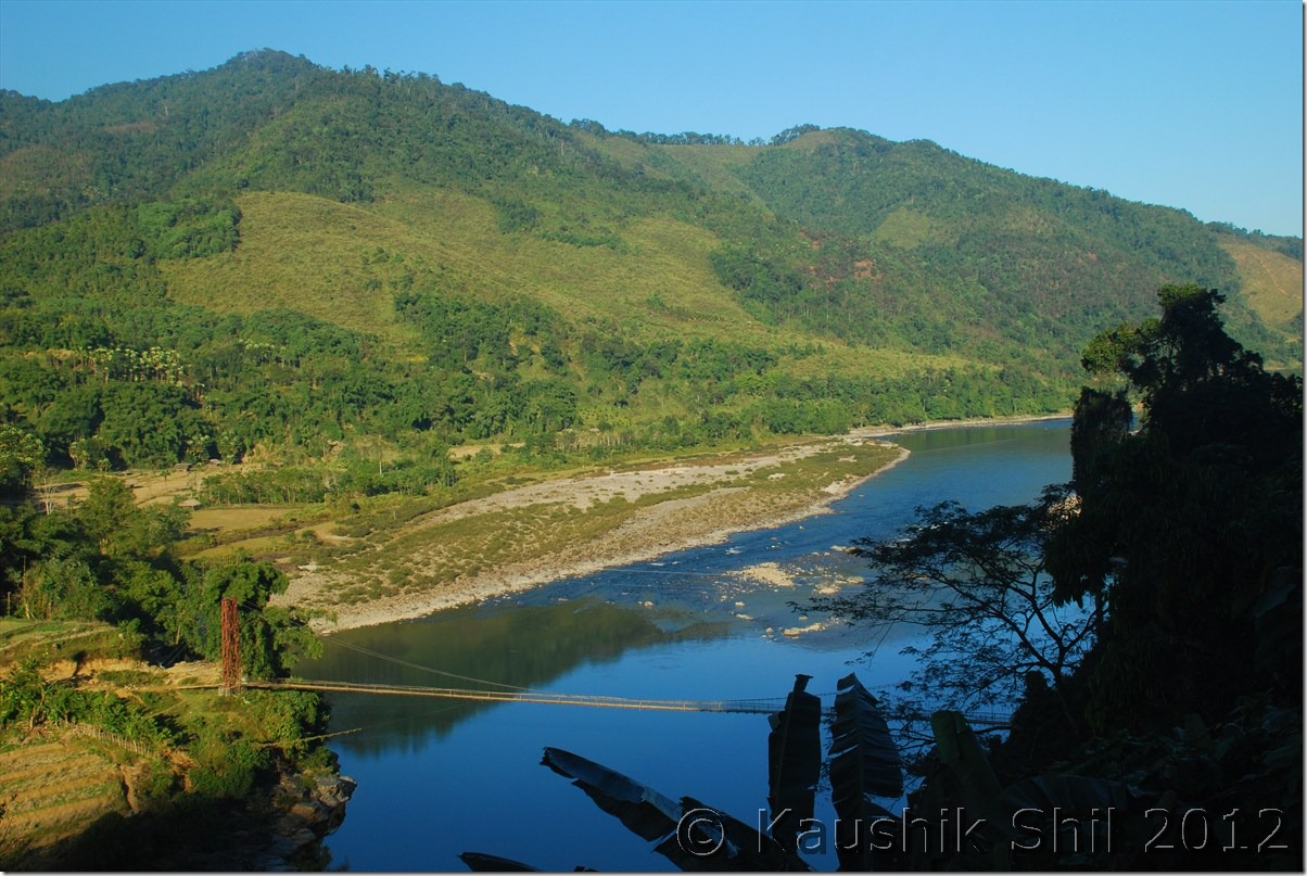
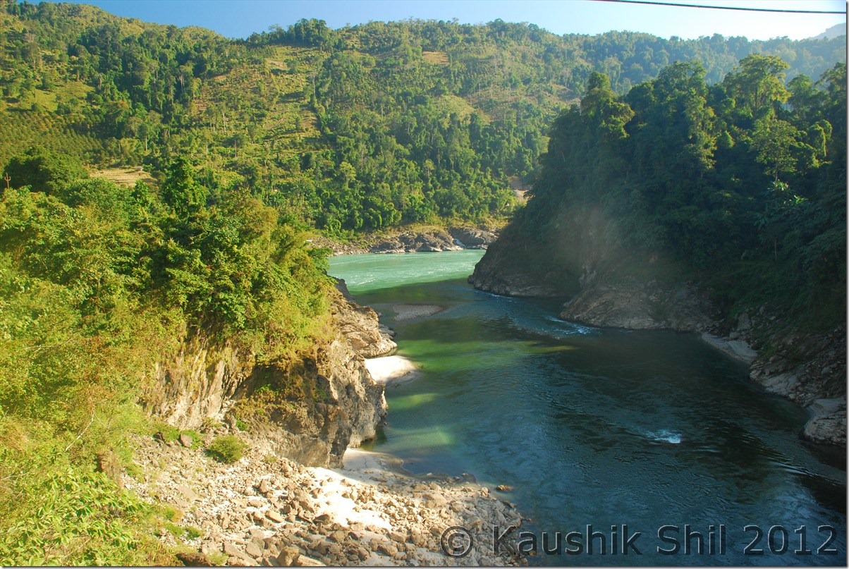
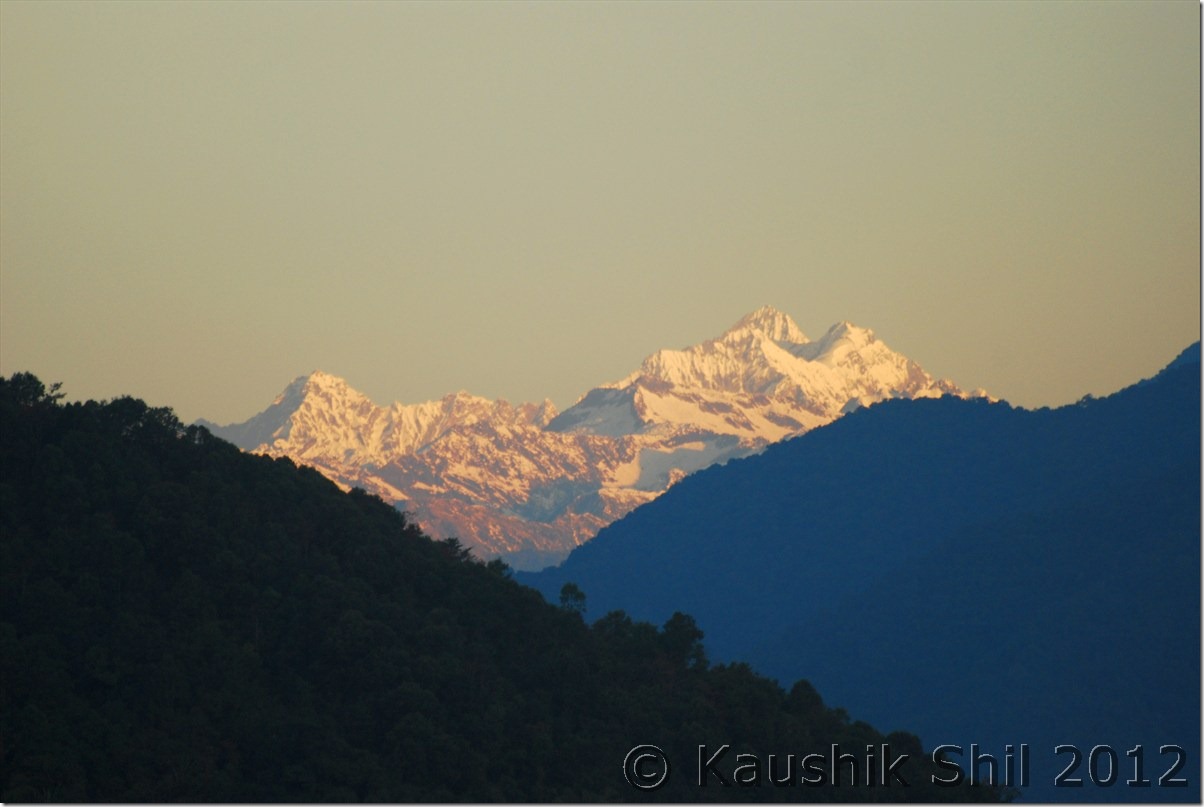
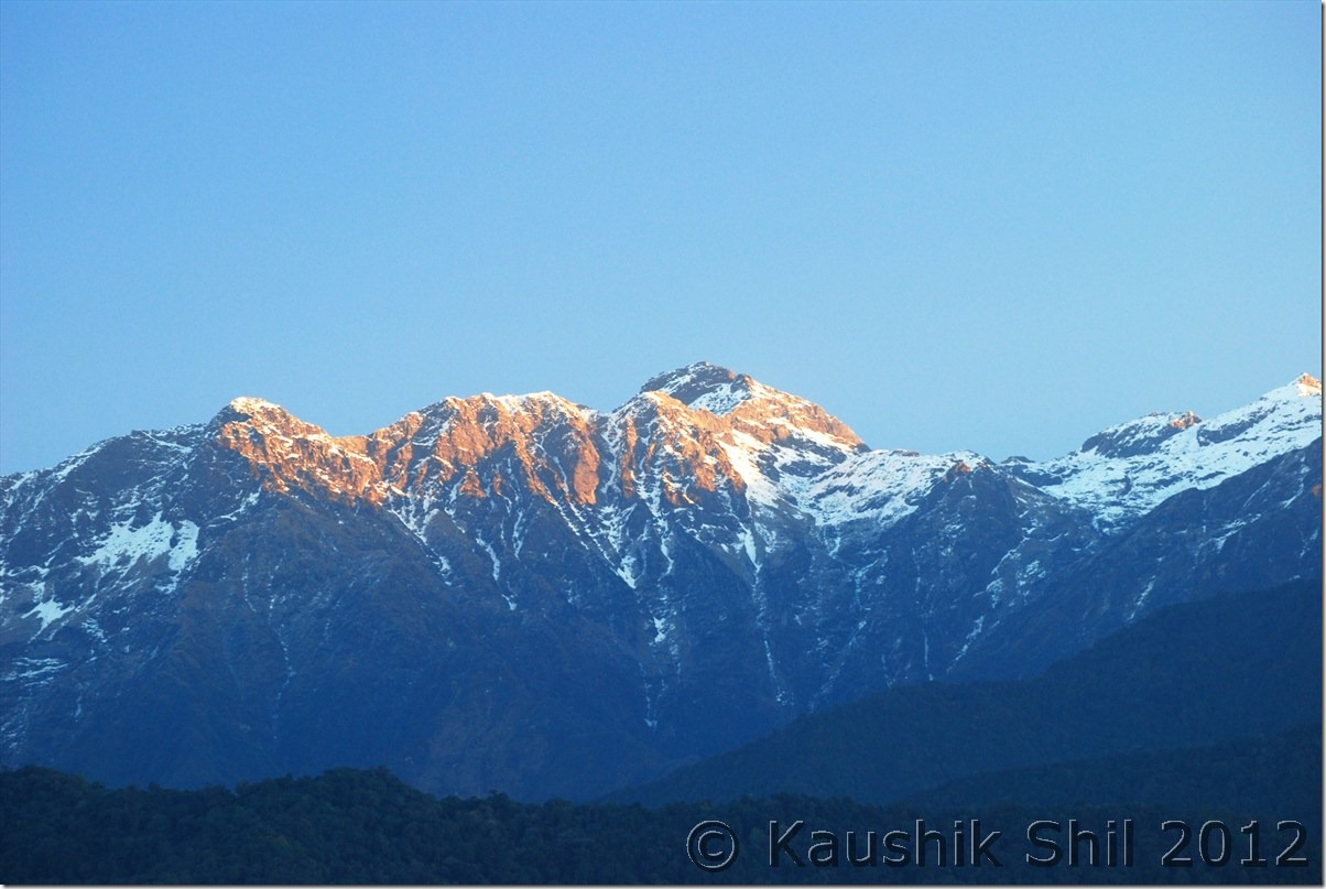
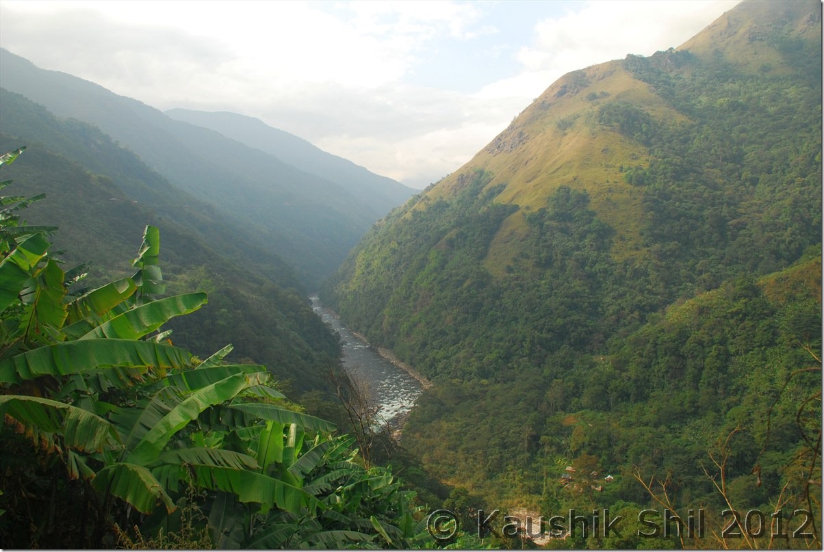
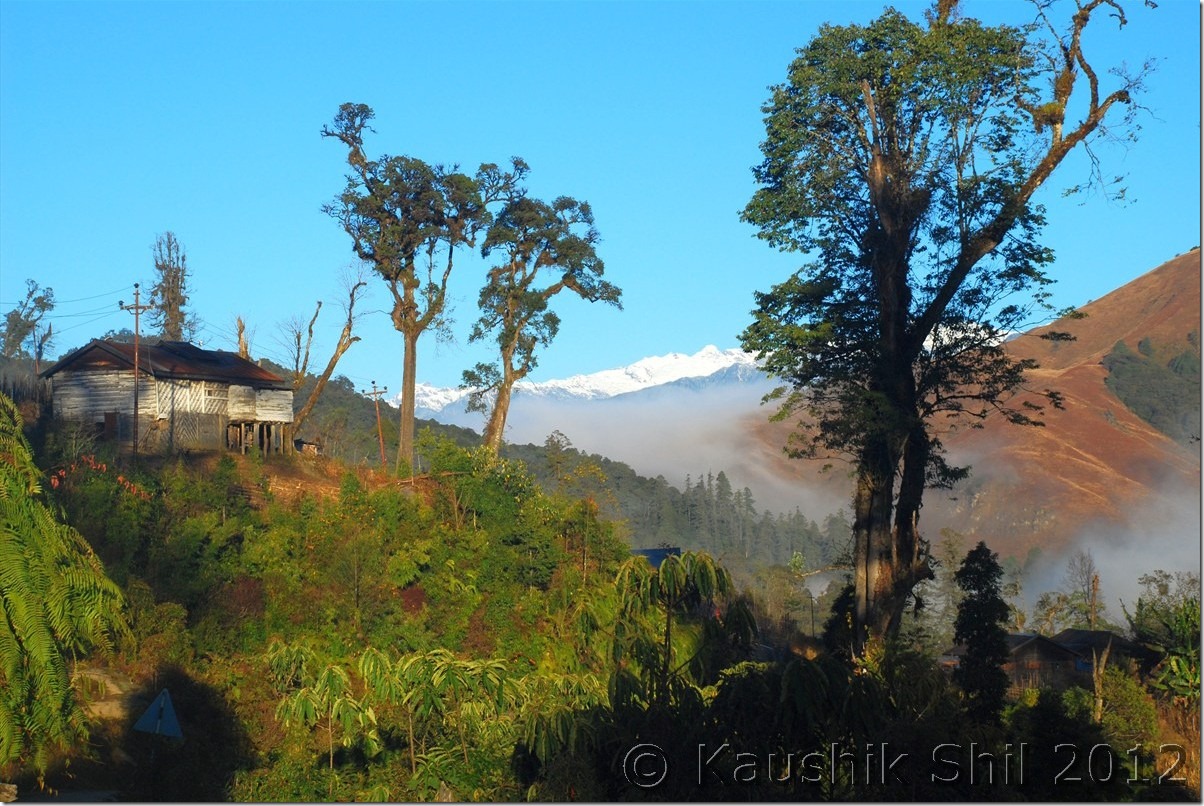
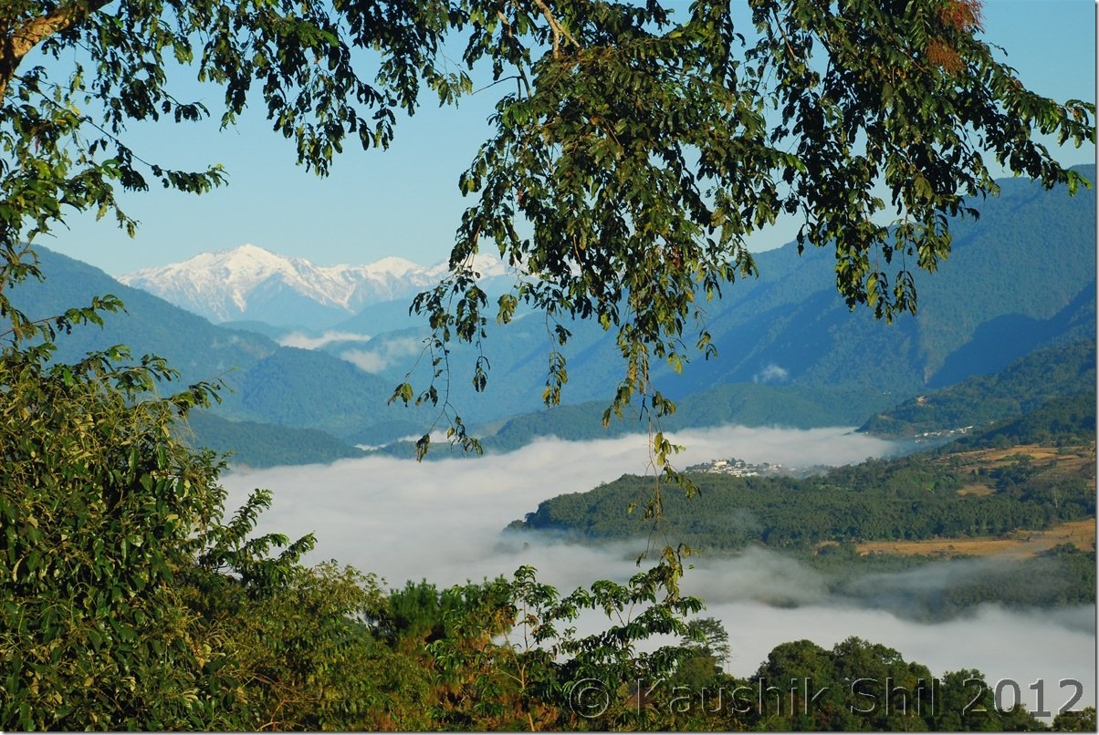
Beautiful Landscapes: DSC_0901 DSC_0902

Ferry Service between Moying and Yingkiong across Siang: DSC_0908
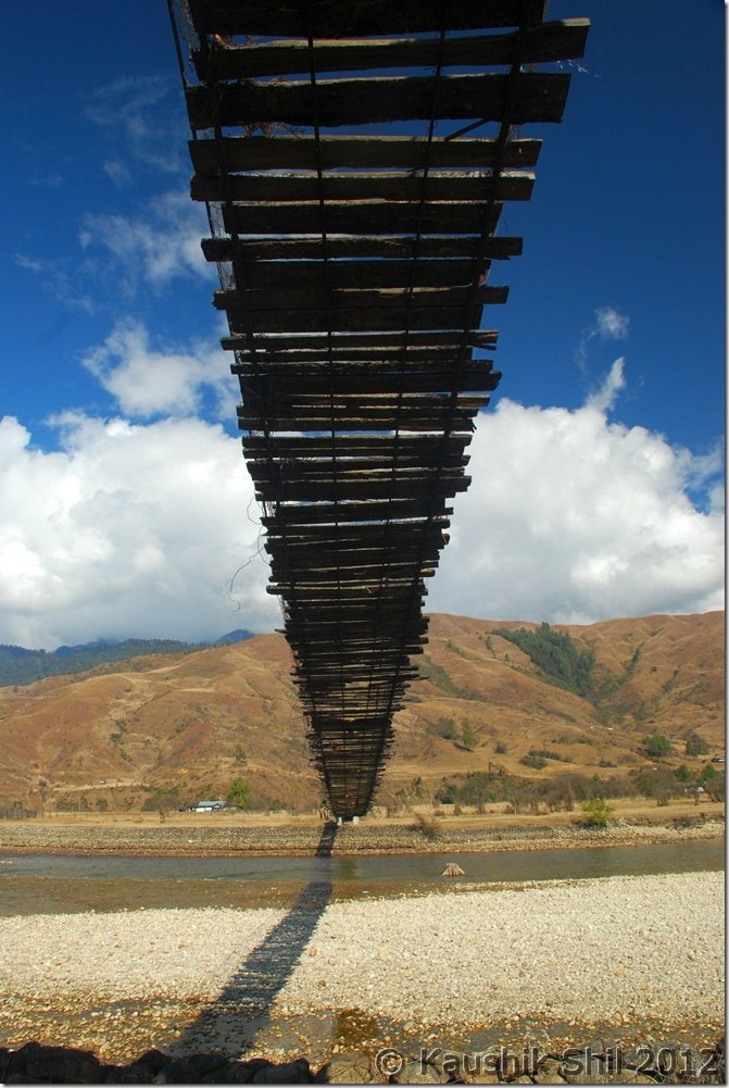
Gandhi Bridge:

DSC_0910 DSC_0918

Yingkiong during Sunset: DSC_0929

Day 20:

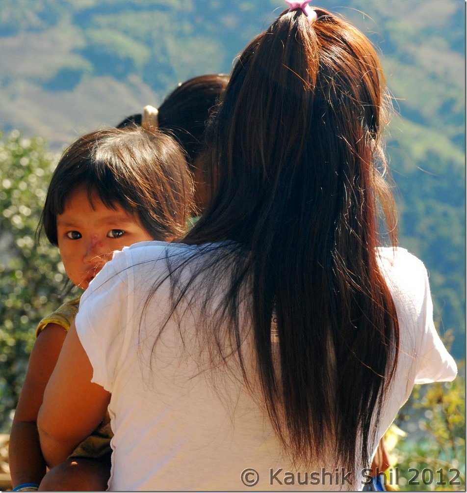
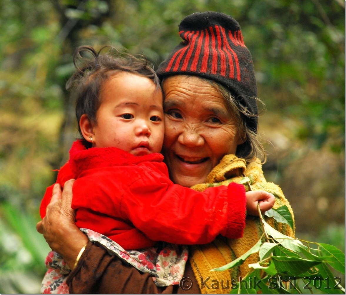
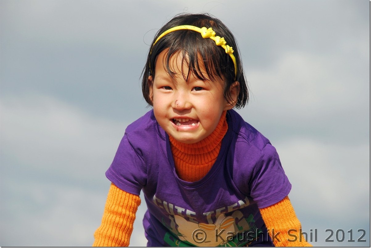
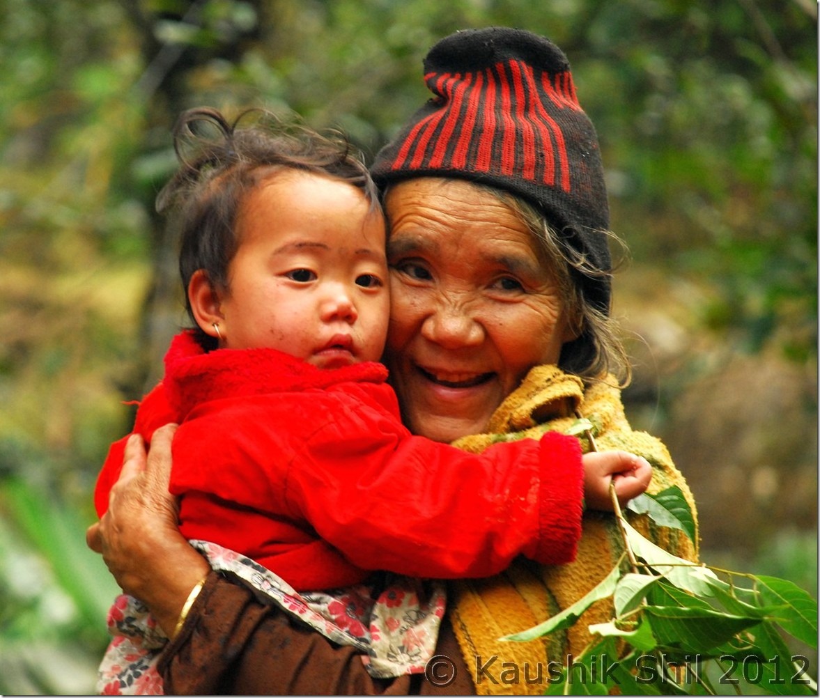
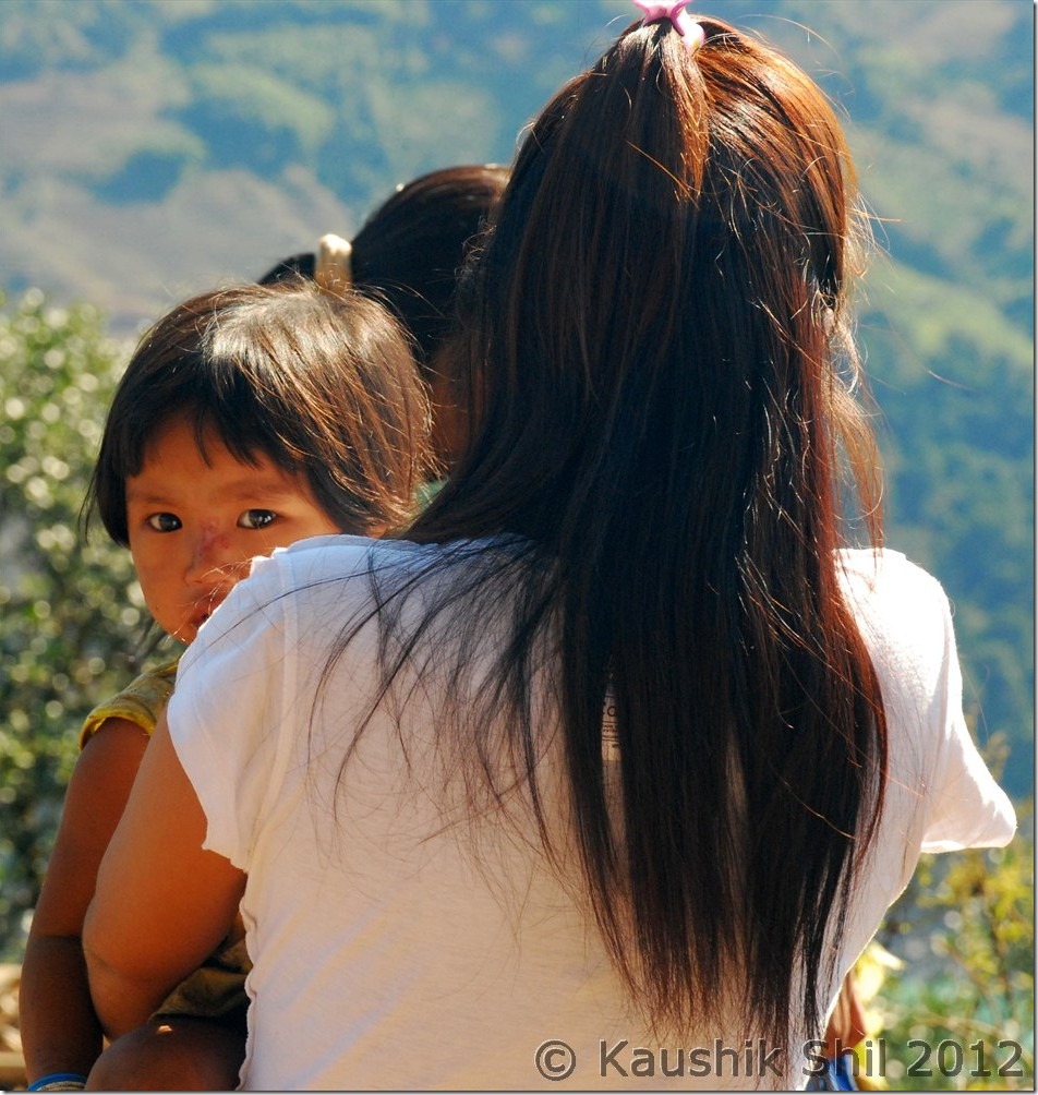
We started our day little late as we had just 130km to go to reach Along. We decided to break again at Along in the Circuit House. We were tracing back the same route but now for consecutive 4th day we were driving along with Siang and we still were finding it so exciting, feeling like taking snaps in every turn and bend of this mighty river. We took a tea break in 65 Miles again before proceeding further. There were lot of pretty faces and cute kids across the whole journey, especially in Siang side but they were too shy to pose for photographs. Whenever I asked for permission it was declined. When finally I got a chance to get a snap, you would see in below snap how the lady turned her back towards Camera. But anyway I got another cute face in the same snap We reached Along and checked into the circuit house around 3.00 in afternoon. We were very happy as the trip was almost over with no major hiccups and we completed whatever we planned to do and most importantly in Arunachal got at least 90% of our trip days absolutely cloudless and sunny. While discussing with Along Caretaker about next days plan, we suddenly realized that we had a tough day ahead as we had to cross ferry at Shilapathar and ferry service might get irregular after 1.00pm. Also each ferry could take just 3 cars, so we might have to wait long there in queue for our turn. The road till Bame was bad we knew and even it was worse till Bashar and some further ahead would make it some 8 hours to reach Shilapathar Ferry ghat. We didn’t want to take any chance as we had a flight booked for next day, so we decided to start as early as 3.00 in morning. This was little surprising as we didn’t think that this might be so early a journey in a winter morning that could be very bad with fogs and mists.

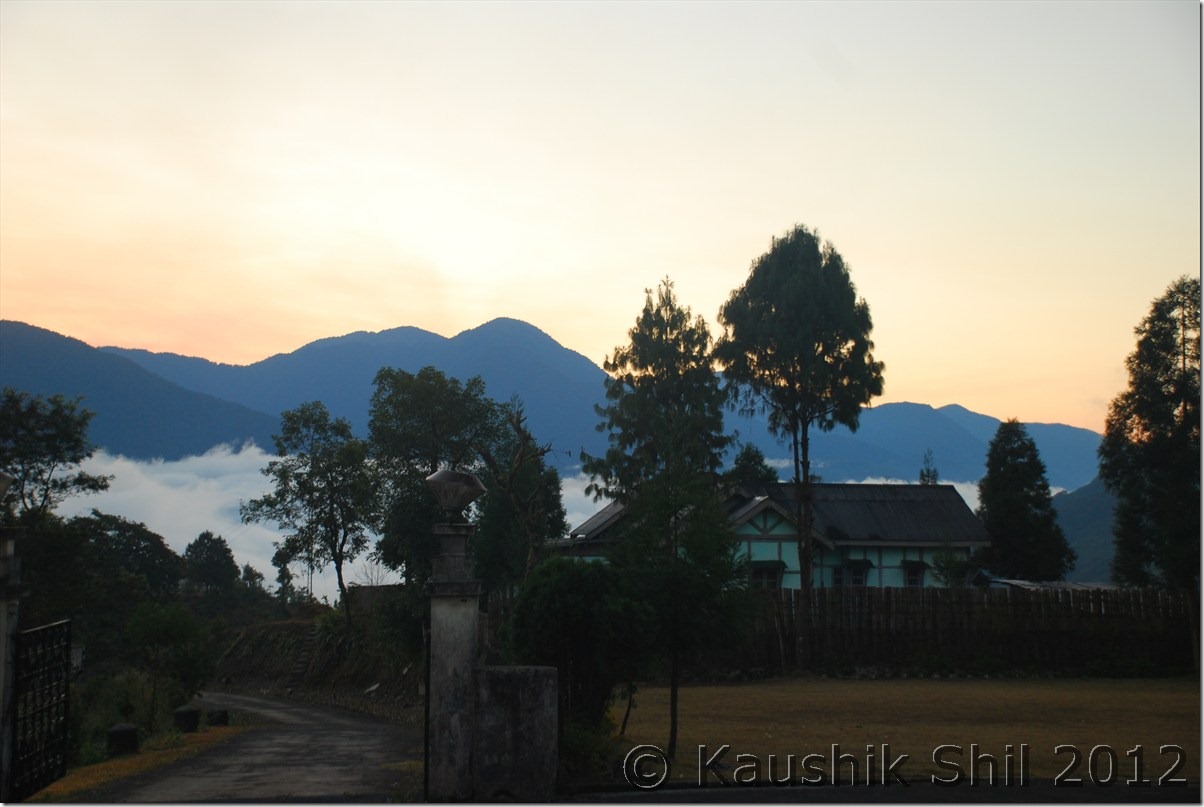
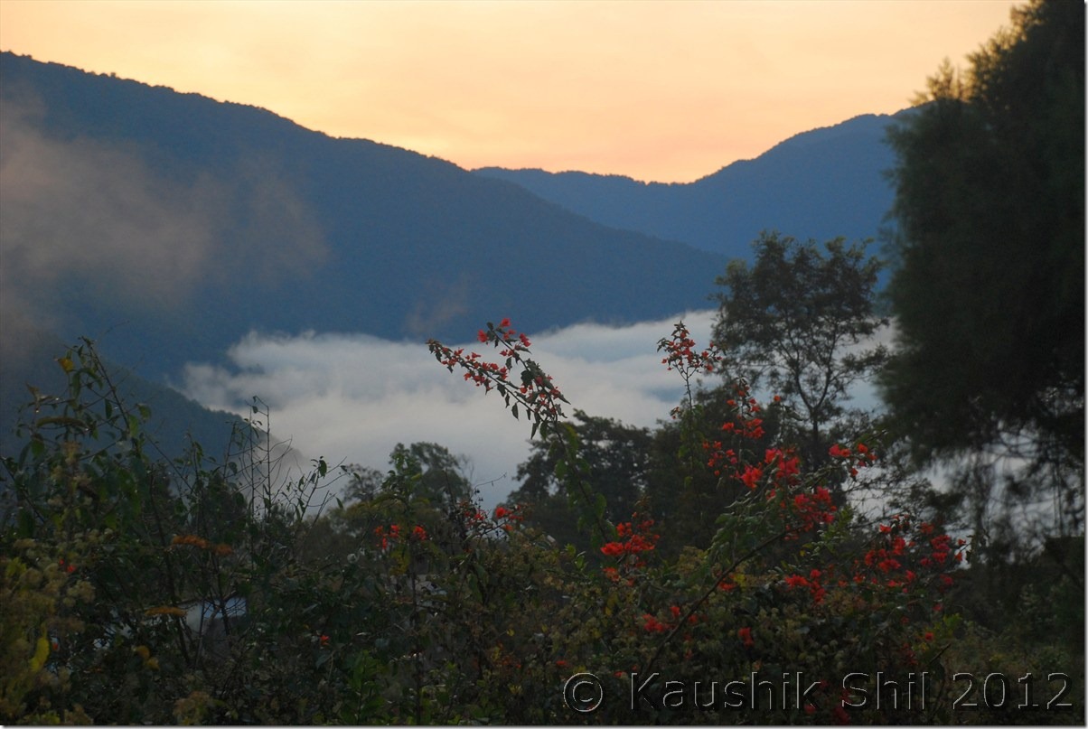
Sun Rise in Jengging – See the mist on Siang behind:

DSC_0933 DSC_0935

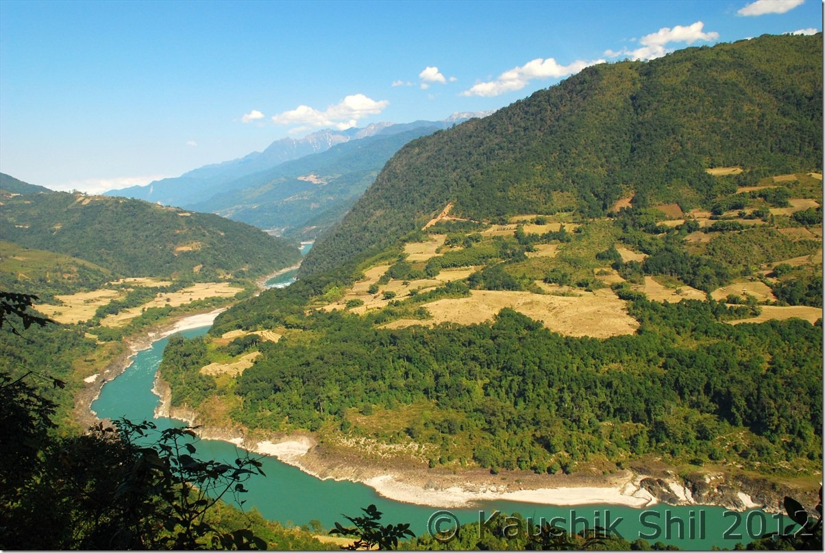
It’s the time to say good bye to Siang:

DSC_0947 DSC_0957

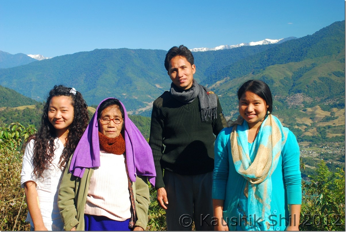
They are not so camera friendly :

DSC_0948

Day 21:

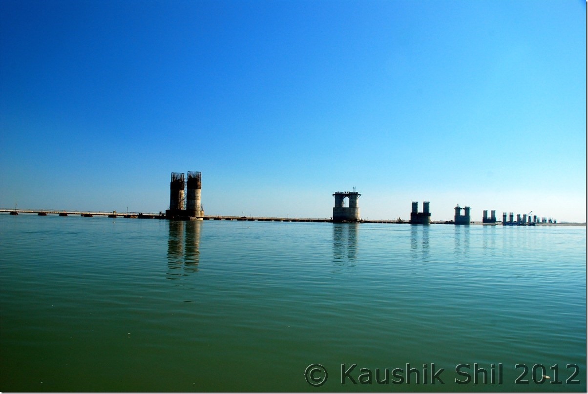
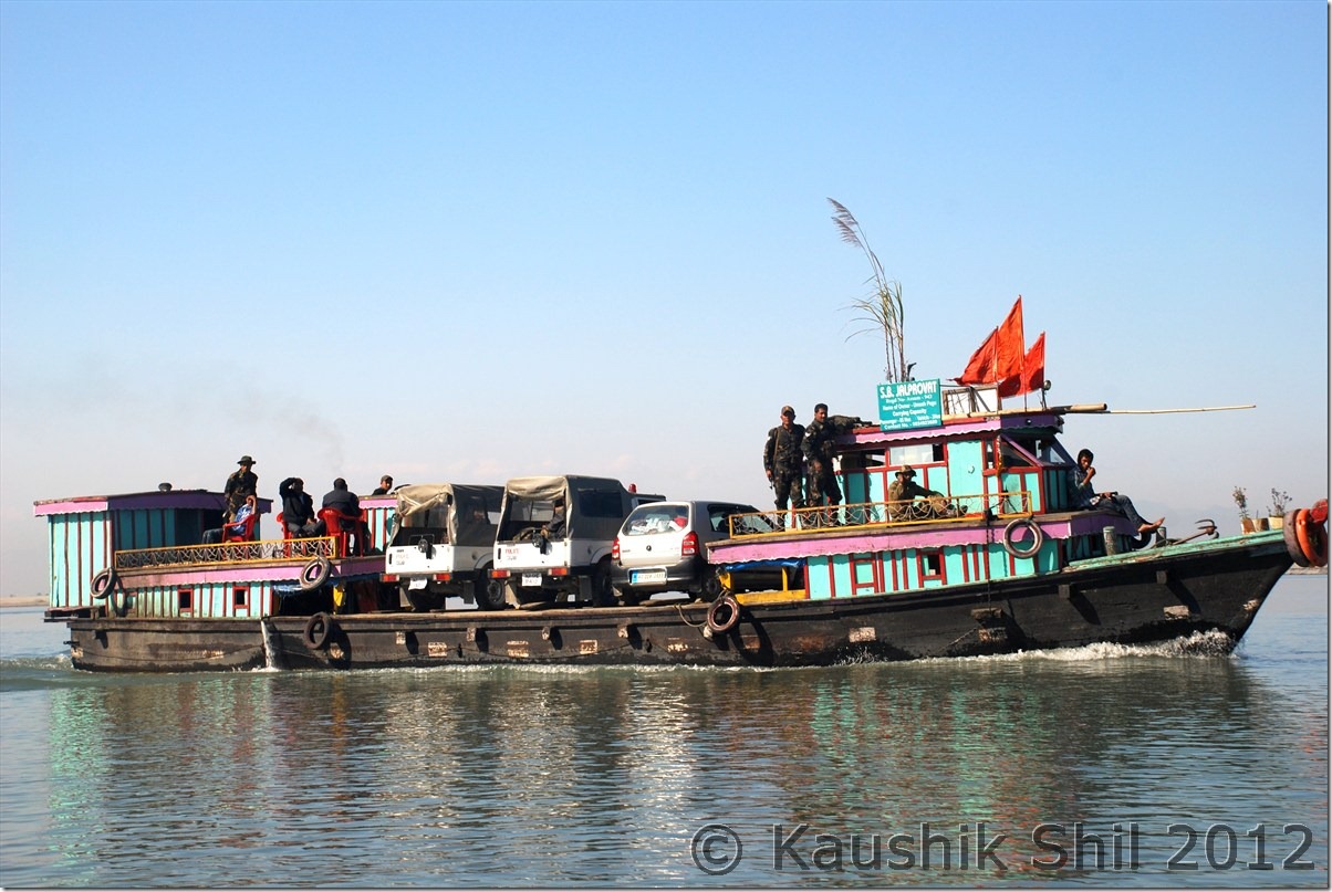
We started the day at 3.00 in the morning sharp but it was really a scary journey in a foggy late night with poor visibility. We all were feeling sleepy too. Anyway we drove till Bame where fortunately got a shop opened, had few cups of tea and kept ourselves a little warmer we started again and morning sun started showing its first rays when we just crossed Bashar. We finally reached Likabali gate and Ashim made the entry in check gate as we were leaving Arunachal finally for this trip. We reached Silapathar around 11.00 am and found we are in queue and could get a ferry of 12.45 only. It cost Rs. 800 per car to cross but now after being in hill for 3 weeks started taking its toll. We started feeling irritable heat of Assam and decided not to wait at river banks for 2 more hours. Little bit of search yielded results as we were offered to take the ferry to cross in just double price @1500 for the car. We negotiated further down to 1200 and then started for Dibrugarh. The half done Bogibil bridge would be on one side and it’s difficult to tell when that would finally be completed. There was no bridge connectivity in Upper Assam after Tezpur to cross over Brahmaputra. We crossed the river in around an hour and then on the other side again a long drive of almost 25km brought us to Dibrugarh. First thing we did was to do a car wash, the owner probably would have been shocked, if he could see his brand new car after a 15 days trip in Central Arunachal. After that we started for Tinsukia, another 50km road journey through nice tea estates. We reached Tinsukia and checked in to Hotel Mayur Jyoti, the same hotel where we stayed in our last trip in 2010. That was our last night of the trip and we had a dinner invitation at Ashim’s place. Enjoyed the evening with his family and had a great dinner but we were very tired as we started our day around 3.00 in the morning on that day. Fortunately we had an afternoon flight from Dibrugarh on next day, though it was preponed by an hour but we would still had enough time in our hand to do packing next morning.

The driving distances for the day:

994 – Along
039 – Bame
050 – Basar
134 – Likabali Check Gate
145 – Shilapathar
150 – Meet NH52A at Akaijan
171 – Shilapathar Ferry Ghat
195 – Dibrugarh
250 – Tinsukia

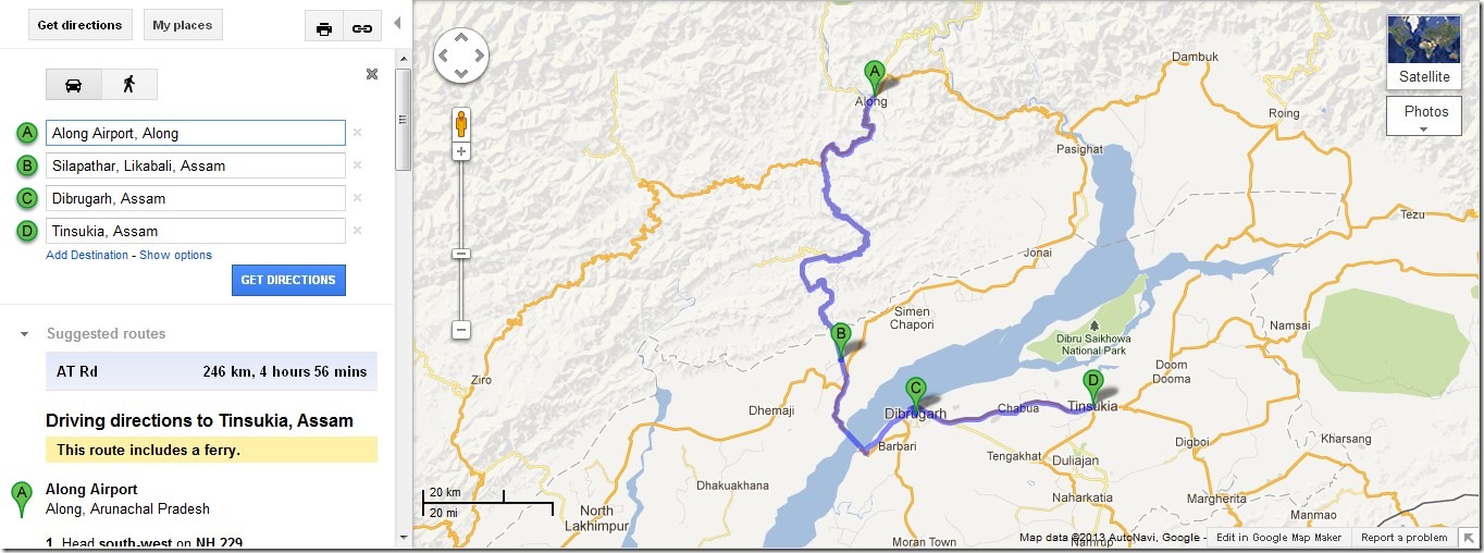
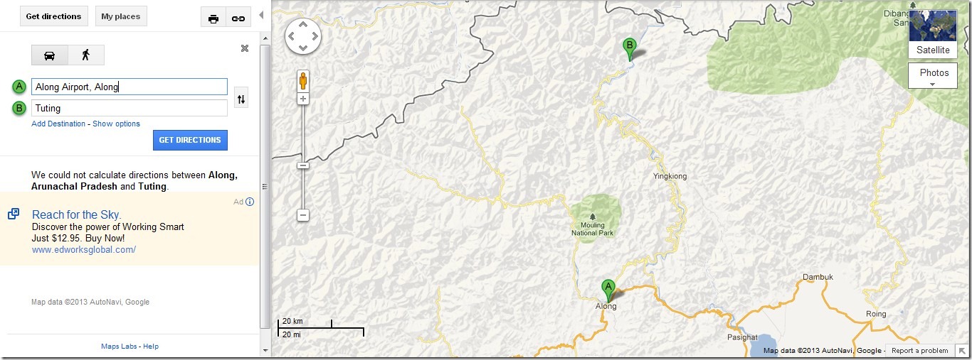
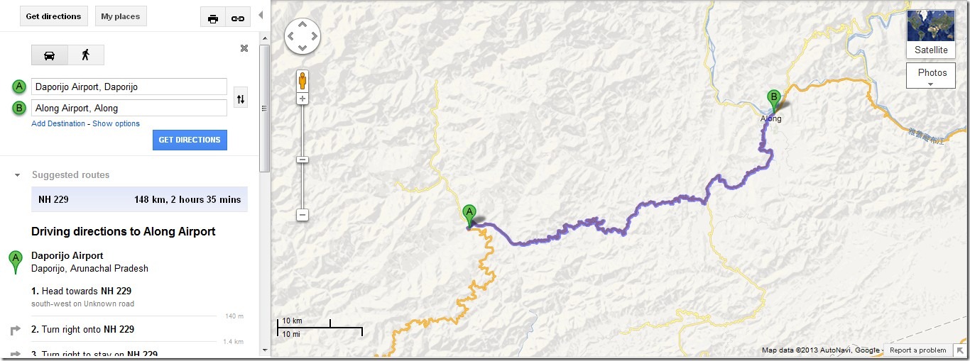
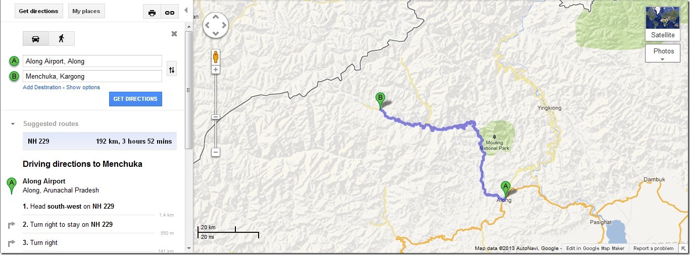
The Journey Map of the Day : Along to Tinsukia

Along_Tinsukia

Mighty Brahmaputra and unfinished Bogibil Bridge:

DSC_0969

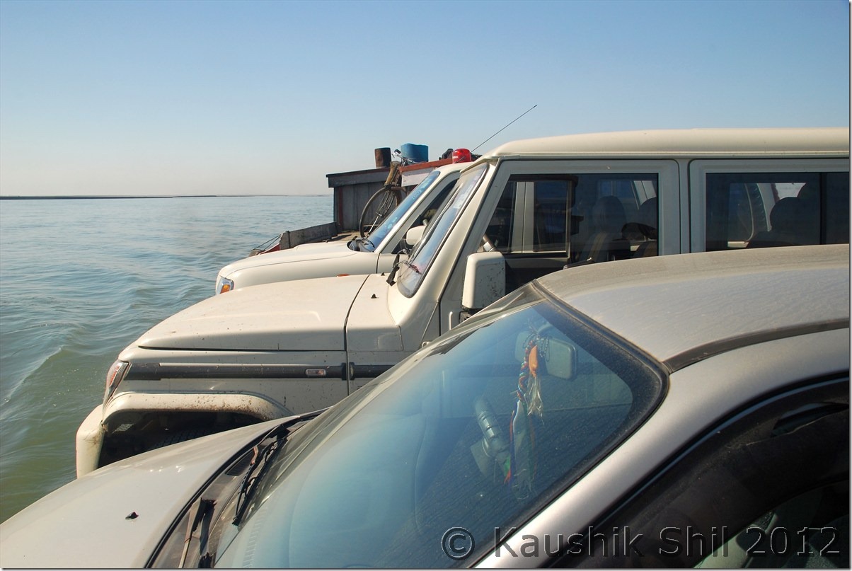
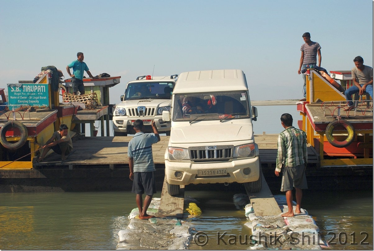
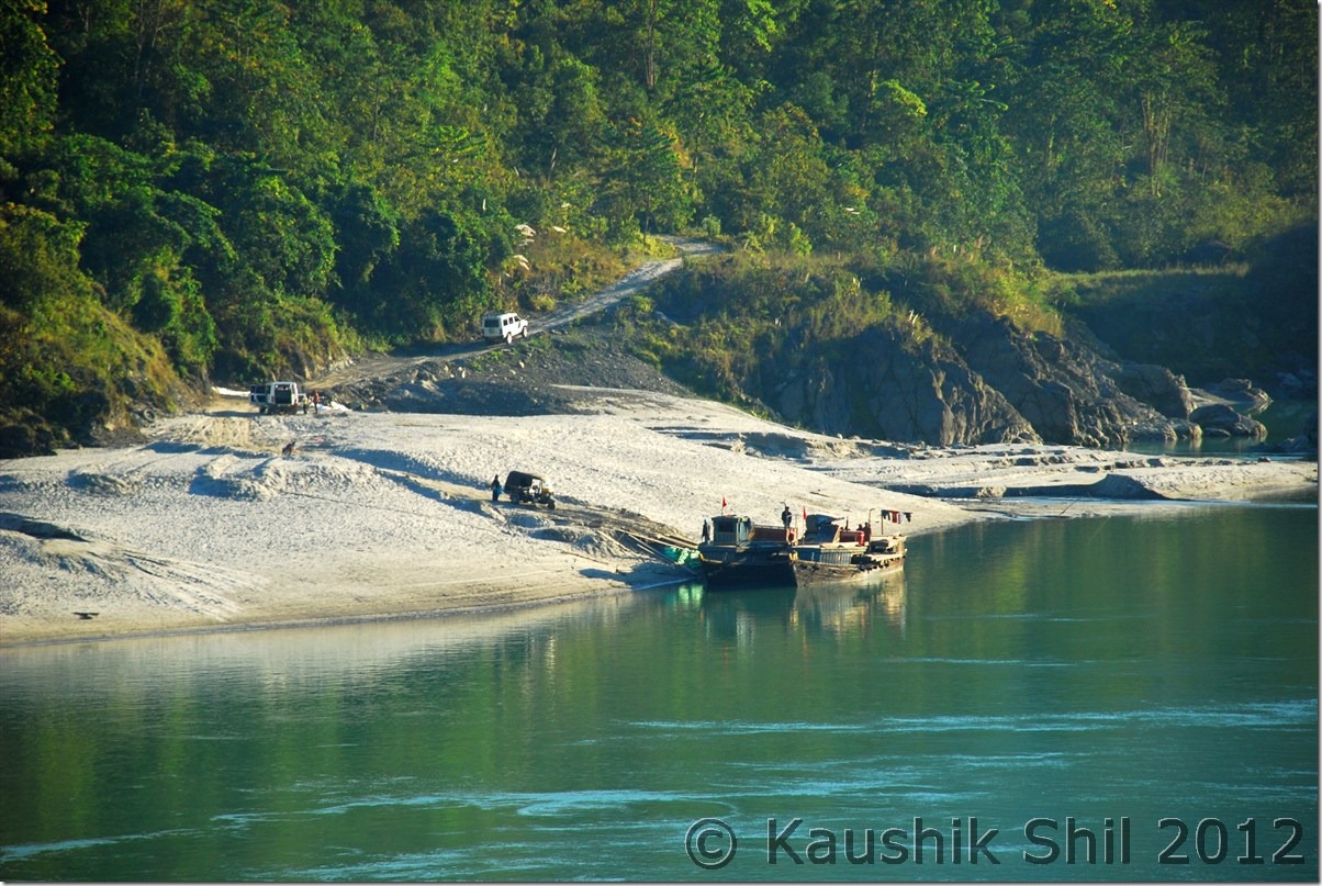
Crossing Brahmaputra on Ferry:

DSC_0975 DSC_0978

This needs some driving skill:

DSC_0981

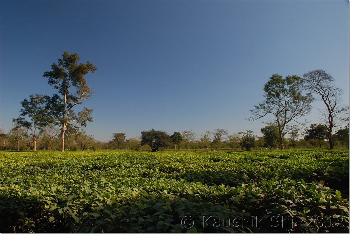
Lot of Tea Estates between Dibrugarh and Tinsukia:

DSC_0982

Day 22 :

Nothing much to write about the day, Ashim was in time and we packed, had our lunch and left for airport sufficiently ahead of time. Indigo, usually very punctual, took us to Kolkata before the sunset and what a trip it was, my dream of covering whole Arunachal was almost done except few places in Upper Dibang Valley like Anini and North Eastern most Tirap. I would surely be back to these places again as this is one of my most favourite destinations in India just because it is still so unexplored and non-commercial with warm hearted people and awesome natural beauty.

Previous: Amazing Arunachal – Gelling Continued

The End
Amazing Arunachal – Back to Along and Journey to Jengging
Day 15:

It was time say good bye to Mechuka, we really wanted to stay one more day and booked IB accordingly but then again we had to slog in some other section of road as our plan was to visit Gelling, the last Indian Village before McMahan line in Upper Siang District. We retraced back the same route via Tato to Along and this time the weather was much better and sunny and we enjoyed photography through out the journey. In a relatively eventless day, we reached Mechuka well before dusk around 2.00pm and again checked in into Along Circuit House. We did some shopping in the evening as Along had quite big a market and most of the shops were selling at wholesaler’s price. We restocked ourselves and also the fuel before we started our journey through Siang on next day. Tuting would be the destination but it was almost 320km from Along and almost impossible to drive in a day. So we decided to stay at Jengging for a night in both our up and down journey.
That day some people broken down the BSNL towers in Along and the only connection to outside world (After Ziro onwards we didn’t get any mobile signal except BSNL) was snapped. Couldn’t even call home and failed to reach the CO of Jengging as well to reconfirm our stay there in Circuit House. We had a nice dinner in Circuit House and planned to start as early as possible on next day towards Jengging.

Journey Map from Along to Tuting by Jengging:

Along_Tuting

On the way from Mechuka to Tato:

DSC_0650 DSC_0653

Mists all over the Siyom Gorge:

 DSC_0654

The streams beside the road:

DSC_0657

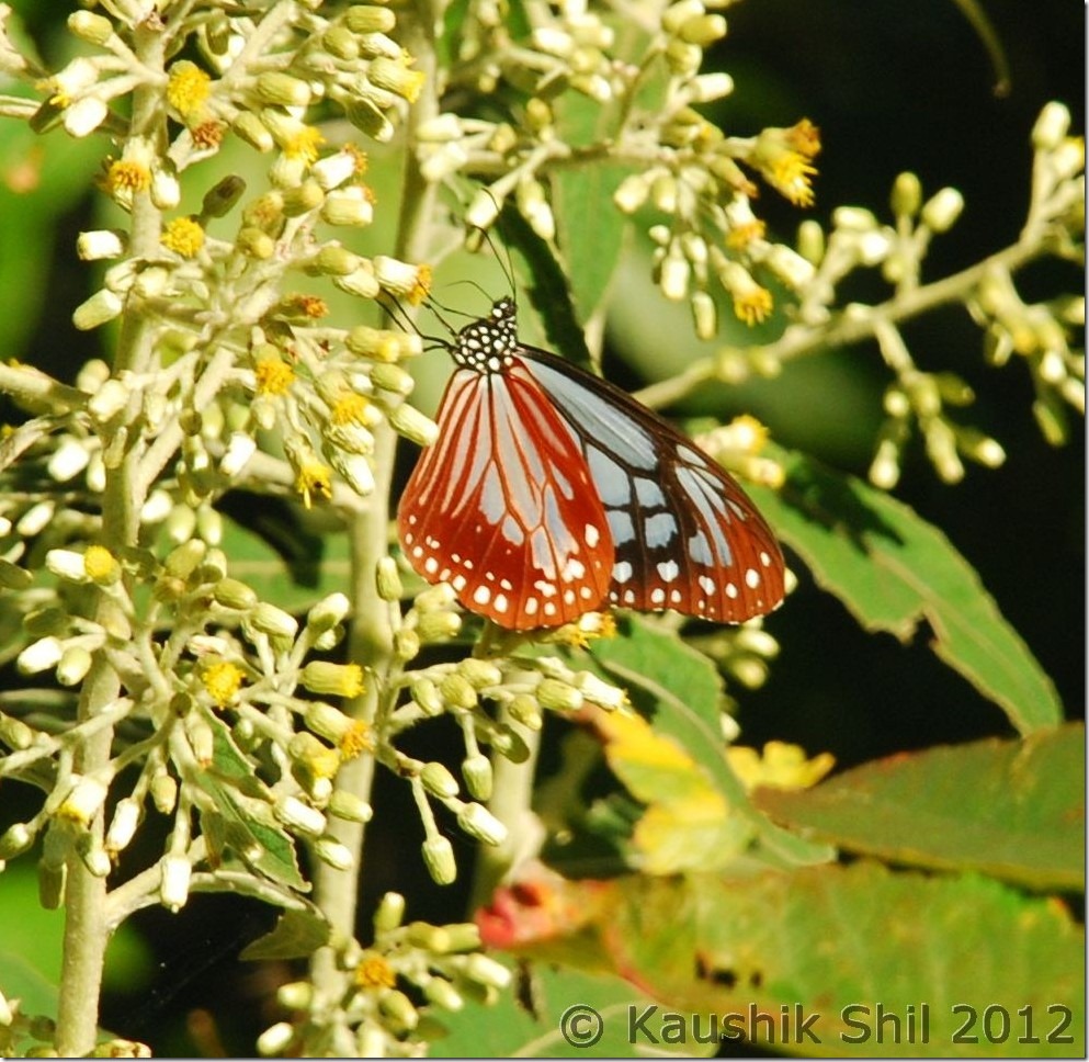
Some Butterfly shots:

DSC_0664

Siyom flowing through the deep gorge:

DSC_0669 DSC_0670

Siyom Valley:

DSC_0678

Siyom taking a big turn:

DSC_0685

The Bridge over Siyom:

DSC_0686

Day 16:

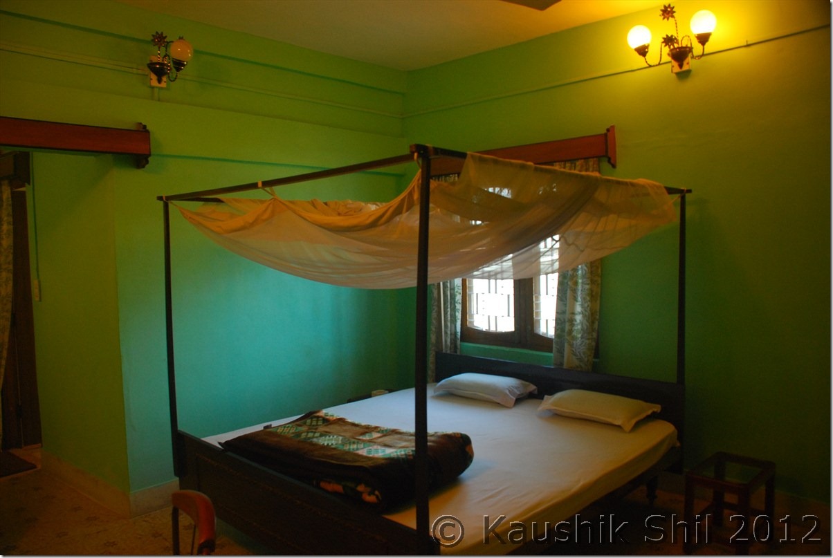
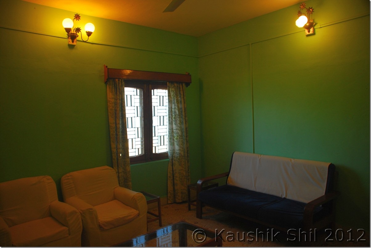
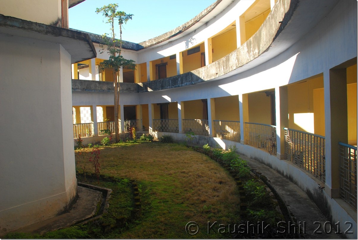
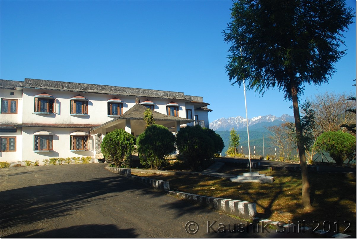
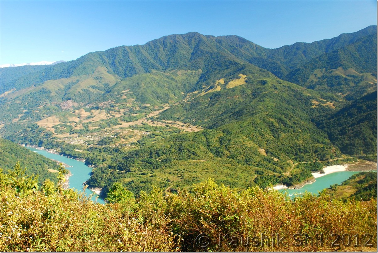
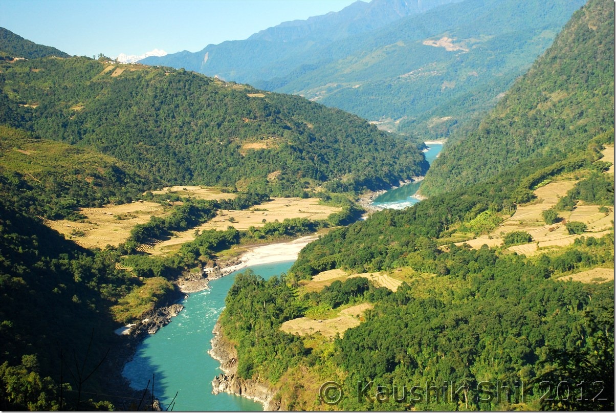
Jengging is only around 130km away from Along, so we didn’t have much hurry to start the day. We had our breakfast and started the day around 9.00 in morning. The road initially went by the side of Siyom river and the road condition was worsened as we were moving away from Along. It was a nice drive through the relatively traffic less road with we being the only car traveling. We stopped in couple of the places and took the photographs as the Siyom valley was changing colors in every turn. After a drive of 16km from Along, the straight road was continuing towards Yingkiong, district capital of Upper Siyang District where as the right turn would take you would towards Pasighat. As we heard from locals, the road widening activities were going on between Along and Pasighat stretch and the condition was pathetic. We continued straight for another 30 km crossing one more small village called Panging before we crossed an iron bridge over Siyom and just while crossing it we found the place where Siyom was meeting Siyang. That was a splendid moment to have a dream come true, first view of mighty Siang. Siang, actually originated from Manas Sarovar, flowing eastwards covering a lot of lands in Tibet, known as Tsangpo, created a deep gorge (Known as deepest gorge in world as ‘Tsangpo Gorge’) and took almost a U turn near Namchabarwa (one of mightiest peak of Eastern Himalayas) to become south bound and enter into Arunachal Pradesh in India, named as Siang. This joined with Dibang and Lohit in Pasighat later forms mighty Brahmaputra river system in Assam before it enters into Bangladesh. It’s another dream for me to visit the origin of this great river system in Tibet if possible in future. The place where Siyom meets Siang is named as Boling. Now for rest of the journey till we touch McMahan line, Siang would always be with us as we drive through its right bank towards Jengging – Tuting. A further drive of 25 km up in North brought us to a place called Dite Dime, locally known as 65 miles (Probably because the distance between this place and along is around 65 miles). We took our tea break here, brought some of the cheapest and sweetest oranges we have ever bought in our lives. Here you would find the only motorable bridge so far built on Siang river, crossing the bridge and driving for another 53km would take you to district capital, Yingkiong. We proceeded straight as we wanted to visit Tuting and Gelling and further drive of 65km took us to Jengging, a relatively quieter town, on the right bank of Siang river. After you leave Along, the fuels were available in Boling and then in Jengging. After Jengging for next 220km up to last Indian road in Gelling, you won’t find any fuel station. So we did a tank full at Jengging and then started searching for the circuit house. There is no alternate accommodation at Jengging other than Govt Circuit house and it’s probably the best located Circuit house we have ever stayed in Arunachal, built at top most point of Jengging. The caretaker was a Nepali person and he was again the best host we had in our whole trip. We got VIP room there which was actually having separate drawing room, a bed room and a very nice attached toilet. The large windows in the room were overlooking the mountains and Siang river. All those cost us Rs. 50 a night, don’t think anything ever could be more value for money . We reached by 2.00pm comfortably there and stroll around Jengging enjoyed a nice sunset there. We were introduced with the officer in charge of local police station who brought his family to the circuit house to spend the lazy evening. He said the crime rate in Upper Siang is lowest among whole Arunachal and it was one of the most peaceful places he had ever got his posting. The food was also one of the best we have ever got in the whole trip. Even the next day as we had a long journey without any proper place to eat, he prepared roti / sabji for us by 6.00 in the morning (actually before sunrise in that cold). We enjoyed the day with overwhelming hospitality in Jengging and retired for the day mentally prepared for a challenging next day.

The driving distances for the day:

268 – Along
284 – Diversion to Pasighat
291 – Panging
314 – Boling
341 – Dite Dime (65 miles where the road bifurcates to Yingkiong at right)
363 – Riga
388 – Paksang
404 – Jengging

Siyom Valley from Along – Panging Road:

DSC_0690

The point where Siyom meets Siang (at far) :

DSC_0691

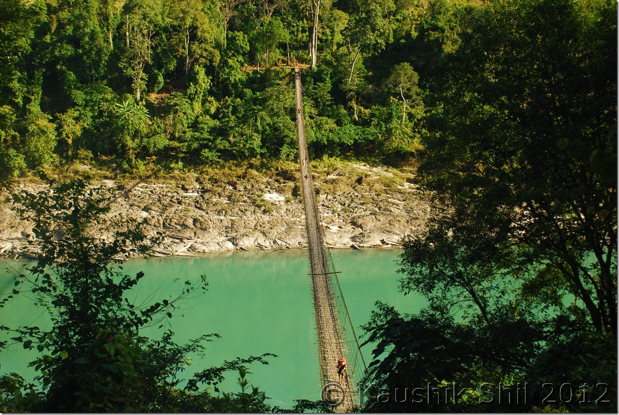
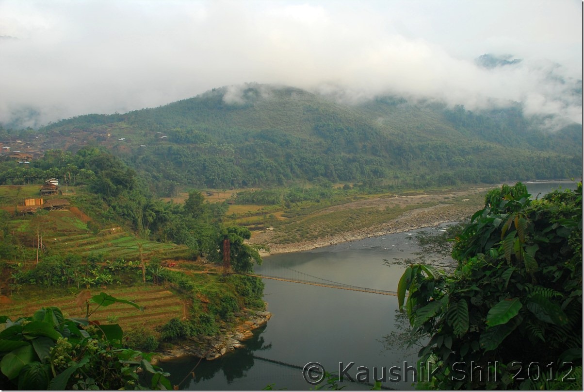
One of the many suspension foot bridges on Siang:

DSC_0694

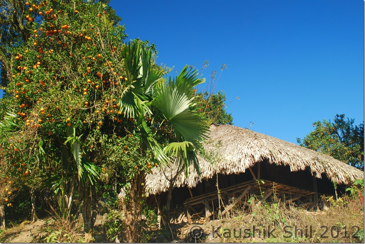
Oranges everywhere:

DSC_0699

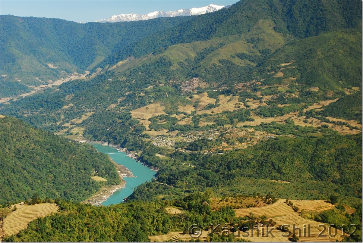
Siang Basin:

DSC_0704

A local family going their village to celebrate Christmas:

DSC_0708

Siang takes a big turn:

DSC_0711

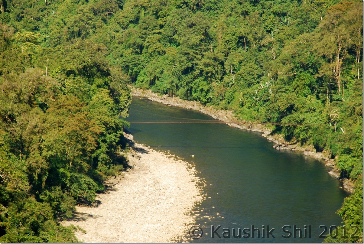
Beautiful Siang:

DSC_0714

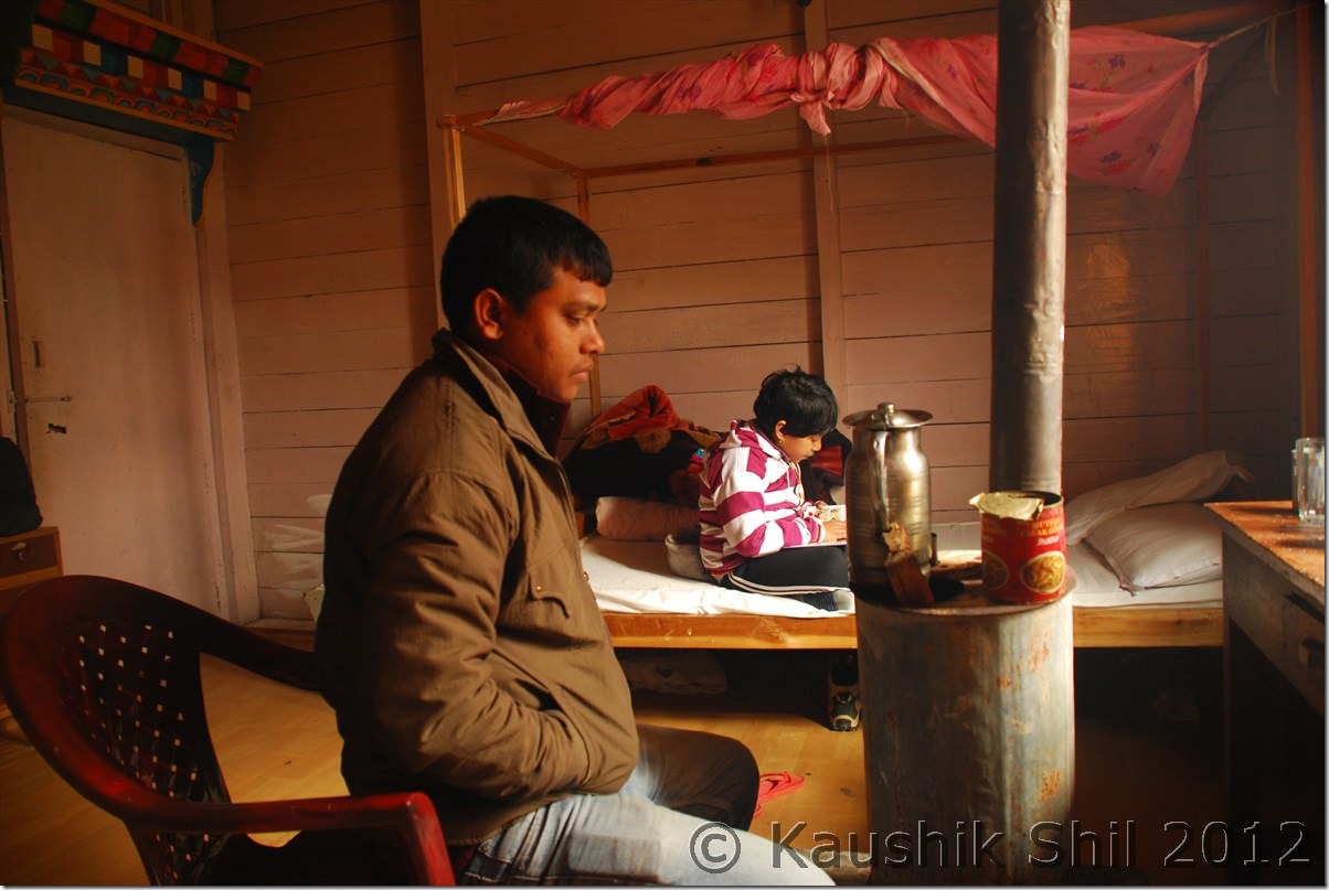
Jengging Circuit House Room @ Rs. 50/-

DSC_0718 DSC_0719

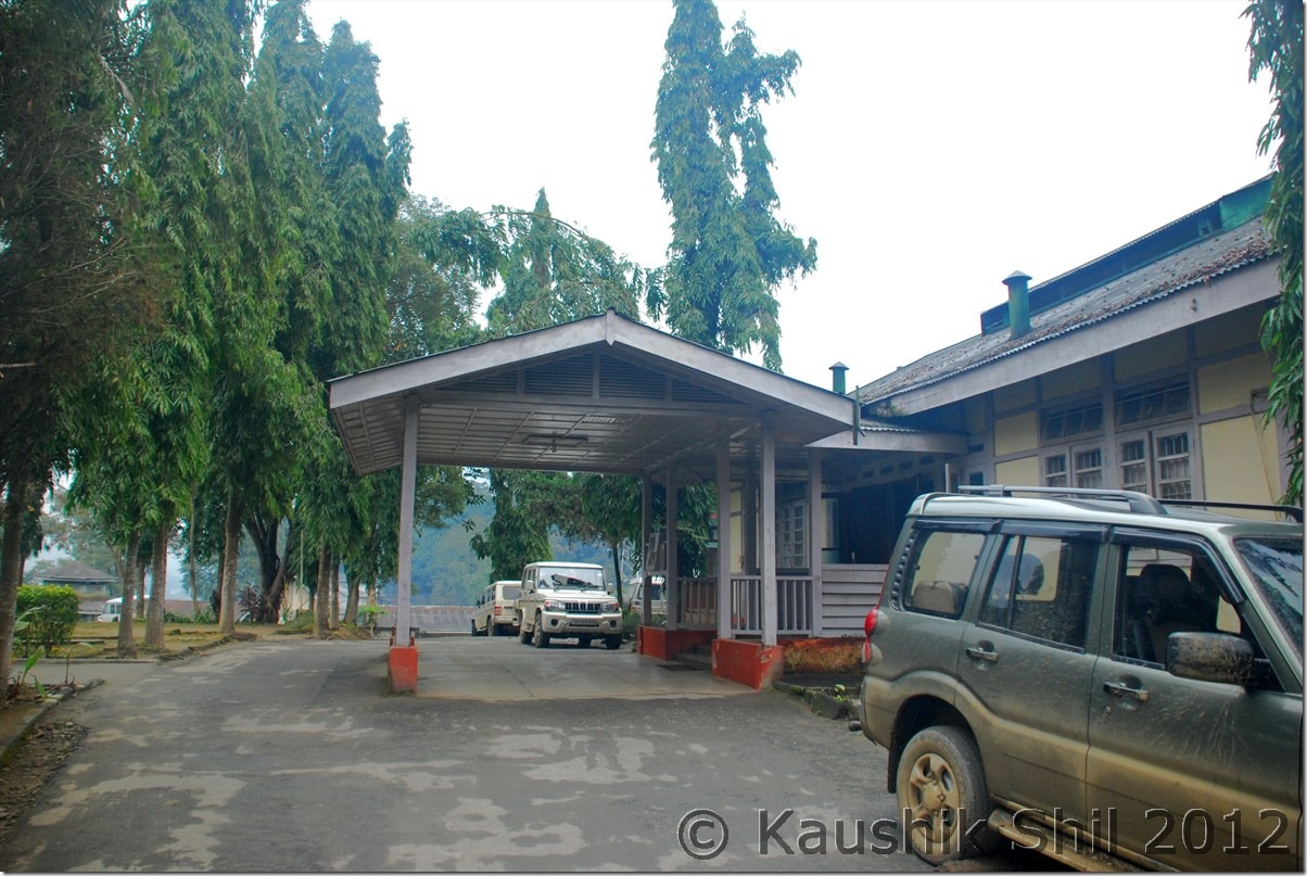
Jengging Circuit House – Outside:

DSC_0720 DSC_0721

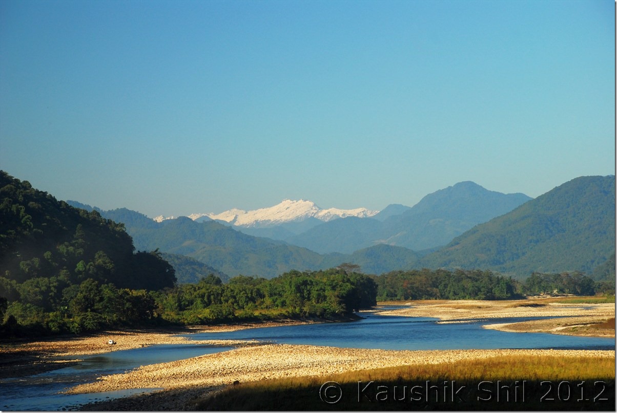
Sunset on snow peaks:

DSC_0728 DSC_0729

Previous: Amazing Arunachal – Mechuka Continued

Next: Amazing Arunachal – Journey to Tuting and Gelling

Amazing Arunachal – Way to Along and Mechuka

Day 12:

As I mentioned neither the town Daporijo was welcoming nor we had a pleasant stay in circuit house, we decided to leave early even without taking the breakfast. That was a cloudy day with constant drizzle, in whole trip first time we were encountering real Arunachal weather. Initially once you leave Daporijo, after 7 km you would find an iron bridge, taking right on the bridge would take you towards Along where as taking straight the road without crossing the bridge (Subansiri river) would take you to Nacho and further towards Limeking which is close to Tibet Border. We somehow missed the bridge and traveled extra 8km before we understood we didn’t take the correct turn for Along. There is a famous temple called Meghna Cave Temple some further 20km from this junction but we decided to skip that considering the poor visibility and weather and the long 180km of travel we had to do to reach Along on that day. Also this time we wanted to reach as early as possible to sort out any issue we encounter in getting the Circuit House. In Along also we booked the Circuit house but Along is one of the biggest and friendliest town in whole of Central Arunachal where you would easily get comfortable private accommodation too. Barring last 50km road stretch from Bame to Along, rest of the road between Daporijo and Along are in quite good shape. There is no Shared Sumo service between Daporijo and Along and as a result the road is almost traffic less and for quite sometime Subansiri river would accompany you. It’s the point Bame from where you would get a Y junction, the left fork of Y would take you to Along where as right fork would take you to Assam via Likabali Check gate. If someone wants to access Along directly, Likabali is the best way to enter Arunachal as that becomes the shortest route to approach Along. The whole route is very scenic and ideal for a driving trip. We found a nice restaurant some 15km beyond Daporijo, developed by Arunachal Tourism which was located in an awesome place just beside the Subansiri River. We tried to have breakfast there but people working there were still sleeping in that idle rainy day. They said it would take almost 45 minutes to prepare breakfast and we decided not to spend that much time there and proceeded further. But this is a place where you could enjoy the greeneries of Arunachal at its best. We reached Along after taking couple of tea breaks, photo breaks were not that much required due to poor weather but still it was almost 3.00 in afternoon we reached Along. Every Arunachal towns are so nicely located, like Daporijo, Along is located just by the side of Siyom River, which we would follow during our next journey towards Mechuka. That was a Sunday, we reached Along Circuit House but it was lot more organized with much better people than what we faced in Daporijo. They easily found our names in Guest List, already allocated the room and room was specious and warm, attached toilets were clean, what more you could expect by paying Rs. 200/-. All Arunachal’s Circuit Houses are definitely value for money. Once we settled, we gone to take our late lunch in roof top restaurant of Hotel Toshi Palace, owned by Mr. Pakge Ete and his wife Mrs. Hinya Ete, very nice hosts they both were. We had some good lunch and most importantly Mr. Ete gave us lot of important information on road conditions, distances and most importantly few key contacts in various places like Mechuka, Tuting, Monigong etc.

The Driving Distances for the day:

663 – Daporijo
669 – The Bridge over Subansiri to take right towards Along
714 – Mare
757 – Tirbin
787 – Bame (Y Junction to Along / Daporijo / Shilapathar via Likabali)
835 – Along

Today’s Journey Map – Daporijo to Along:

Daporijo_Along

Subansiri River:

DSC_0421

Crossing the Bridge:

DSC_0428

Subansiri River:

DSC_0429

Way side Restaurant:

DSC_0435

Towards Along:

DSC_0436 DSC_0441

Along Circuit House:

 DSC_0449

Bridge on River Siyom:

DSC_0459

Day 13:

Once again we had to wake up early and without having the breakfast we left by 7.30 in morning for our next destination Mechuka. The weather was initially little foggy and misty but slowly it started clearing out as we proceeded from Along. While you are coming from Daporijo to Along, just before entering the town, the main road turned right towards Along and straight road goes towards Mechuka via Tato. Initially the road was little bad for first 10 km but then it would changed to one of the best North / South road I have ever found in Arunachal. The road connectivity established some 7/8 years back as I heard from locals and before that it was simply almost a week of walking for almost 200km to reach Along for buying their daily needs. Historically the people of Mechuka, Monigong and other border areas were actually doing their business with Tibet through Lola pass and Dumla pass, both were sealed completely since Indo-China war of 1962. The terrain is located in such a way, it’s much easier to travel to Tibet highlands than to travel to Indian Planes. As we proceeded, Siyom river with its beautiful blue water was following us constantly at right. We had our breakfast at Kaying which is the most developed place in whole Mechuka Valley. The road was excellent in Arunachal’s standard and you would find a lot of shared Sumo traveling between Along to Tato and then Tato to Mechuka and also between Tato and Monigong. The proposed Trans-Arunachal highway connecting from West to East through much higher up in mountains touching this road twice and in future would improve the importance section of this road. We have found work was going on in two different sides, Eastern side was being connected to Daporijo via Daporijo – Nacho road and Western side was connected to Tuting by crossing Siyom River. Once the road would be built, both Daporijo and Tuting could be reached by a day’s drive from Mechuka bypassing Along. We had our lunch at Tato and from Tato it was almost a 4 hours drive to Mechuka and 6 hours drive to Monigong. Road to Mechuka has made tarred but Monigong road is still not tarred and as I understood from locals even Bolero’s ground clearance was not sufficient, only possible way to drive through the road to Monigong is during dry period of Nov/Dec and that too only in a high clearance car like Sumo, mainly because the road which actually doesn’t exist in monsoon is only navigable by Tractors. We didn’t have much time as well this time to explore Monigong and only possible accommodation option there was a Govt. Inspection Bungalow which might be full as there was not even any phone connectivity there to confirm the accommodation status. Just after leaving Tato we found a very nice waterfall on road side, spent some time there, took a few snaps before we proceeded further to Mechuka. I called up Mr. Poyom, ADC of Mechuka last night from Along and confirmed our 3 nights stay in Mechuka Inspection Bungalow. It’s location is beautiful near old monastery and higher up on the hill, you could get a good view of Mechuka from top. We found the IB chowkidar quite nice and friendly and he called up the cook to come for preparing our dinner. Mechuka has no electricity, power is supplied by running generator between 6.00pm to 11.00pm.

The IB was nice and clean and it had the primitive heating system with firewood, it was very chilly but clear night outside where as inside we had a nice time chatting with Asim in nice warmth of fire place and had a nice dinner prepared by cooked before we retired for the day.

The Driving Distances for the day:

835 – Along
860 – Kampa
880 – Kaying
969 – Tato
019 – Mechuka IB

Today’s Journey Map : Along to Mechuka

Along_Mechuka

Kaying – Road towards Mechuka:

DSC_0464

Siyom flowing through the gorge:

DSC_0473

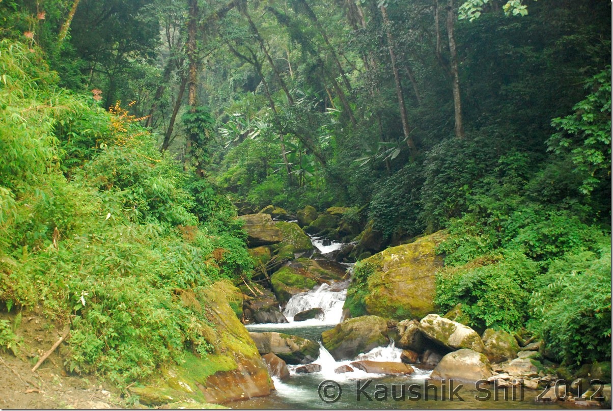
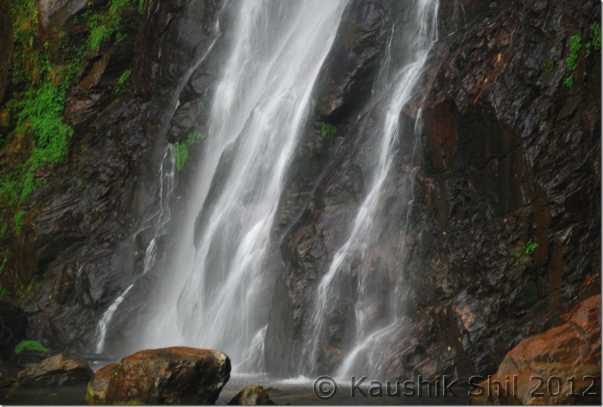
The waterfalls beyond Tato:

DSC_0488

Adi Tribes:

DSC_0495 DSC_0496

Lush green landscape: DSC_0506

Just entering Mechuka:

DSC_0510

Mechuka:

DSC_0512

Mechuka IB – Ashim in our room:

DSC_0513

Mechuka IB – Inside

DSC_0515

Previous: Amazing Arunachal – Ziro and Daporijo

Next: Amazing Arunachal – Mechuka

Amazing Arunachal – Tawang, Ziro, Along, Mechuka, Tuting : Introduction

When I last visited Arunachal, 2 years back I fell in love with the state, the awesome landscape starting from rainforests of eastern part to alpine meadows of western part meeting mighty Himalayas, the high mountains all around, deep gorges carving its way with blue waters gushing in, you can clearly see and feel the rapids from top. Waterfalls in almost every bend, in one turn its vast blue sky and in next turn in completely filled up with fog and mist. Arunachal will surprise you in every moment, the other aspect is the diversified culture, it’s completely a tribal state and there are 101 recognized tribes in Arunachal and mostly believe in different religions like Donyi Polo (Sun and Moon), Hinduism, Christianity etc. The state has borders with 3 foreign countries, Bhutan in west, Tibet (Now People Republic of China) in North and Myanmar in East. Tourism is not developed except the western part of Tawang sector, which was developed by late Mr. Dorje Khandu, the former chief minister of Arunachal who belonged to Tawang. The state buses sparsely run through the main towns but still Shared Sumo service is the most common mode of transport for locals, in almost all districts you would still find 30% villages not having any road connectivity and still depend on long trek to meet their daily needs. Actually northern part of Arunachal was more closely connected with Tibet through 4/5 different passes until British drew McMahan line in 1913 as per Shimla Accord with Tibet. The usual business with Tibet had been going on until China disregarded the McMahan line and attacked India in 1962 in both Ladakh and Arunachal sector. Since then all the passes were closed and the whole border with China/Tibet was closed and people were forced to walk 3/4 days through treacherous mountains and dense forests to come down to Indian plains to start their new lives. When we visited places like Gelling, merely a km from McMahan line, the elders were telling us the sad stories how they suddenly got partitioned from their near and dear ones living just couple of km across other side of border since 1962. The state is covered by mountains from west to east and deep river gorges from North to South including Kameng, Subansiri, Siyom, Siang, Dibang and Lohit that created mighty Brahmaputra river system. So traveling the state is extremely difficult from west to east as there is a lack of trans-Arunachal highway which is presently being built with the aid from Central Govt. Every time you have to come down 300 km to Assam and then again have to go up another 300km to reach another spot. So you need at least 45 days just for a touch and go trip to visit the prominent areas of state. So better if you could make multiple visits. Last time we covered Eastern Parts covering Lower and Upper Dibang Valley, Lohit, Anjaw and Changlang districts, this time we covered western and part of central covering, West Kameng, Tawang, Lower Subansiri, Upper Subansiri, West Siang, East Siang and Upper Siang.

The 5 major ancient trade points between Tibet and Arunachal was through Kenzamane (Zemithang), Bumla (Tawang), Kapangla Pass (Gelling), Lolla Pass (Mechuka), Dumla Pass (Monigong) and Kibithu. Except Bumla (where civilians are allowed with passes from DC and Army) all the other borders are closed for civilians. Our main intention was to travel as close as possible to these points to trace the historical McMahan line. We covered Kibithu in last trip, so tried to touch upon the rest of the points.

Our itinerary was like this:

Day1 – Kolkata – Guwahati Flight and drive to Nameri
Day2 – Nameri – Bhalukpong – Bomdila
Day3 – Bomdila – Dirang – Tawang
Day4 – Tawang – Zemithang – Tawang
Day5 – Tawang PTso – Sengetsar Lake – Bumla – Tawang
Day6 – Tawang – Sela Pass – Dirang
Day7 – Dirang – Bhalukpong – Nameri
Day8 – Exploring Nameri National Park
Day9 – Nameri – Balipara – Kimin – Ziro
Day10- Around Ziro
Day11- Ziro – Daporijo
Day12- Daporijo – Along
Day13- Along – Tato – Mechuka
Day14- Mechuka
Day15- Mechuka – Tato – Along
Day16- Along – Pangin – Jengging
Day17- Jengging – Tuting
Day18- Tuting – Gelling – Tuting
Day19- Tuting – Jengging
Day20- Jengging – Along
Day21- Along – Shilapathar – Bogibil (By Ferry crossing Brahmaputra)- Dibrugarh – Tinsukia
Day22- Tinsukia – Dibrugarh – Flight to Kolkata

Enough of Texts and now a few snaps to share some highlights of the trip:

Nameri Eco Resort:

DSC_0001

Bhalukpong in the side of Jiabharali (Kameng River):

DSC_0012

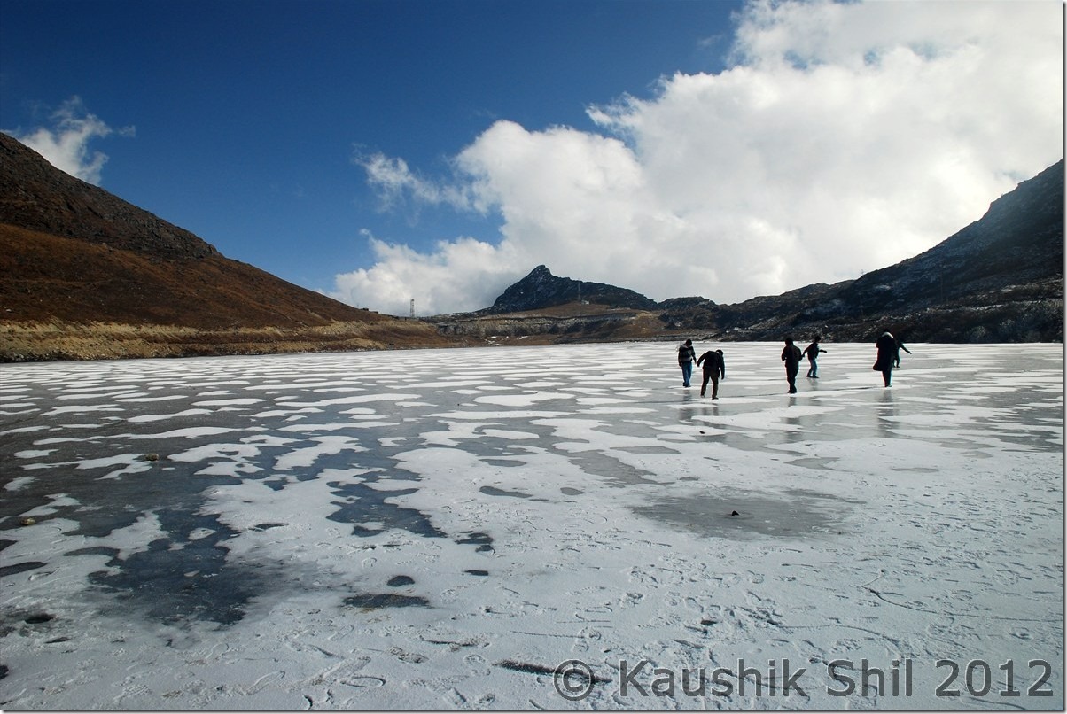
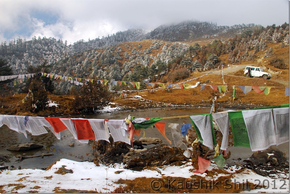
Semi Frozen Sela Lake at Sela Pass:

DSC_0085

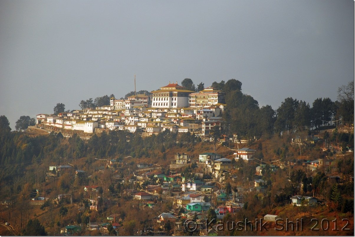
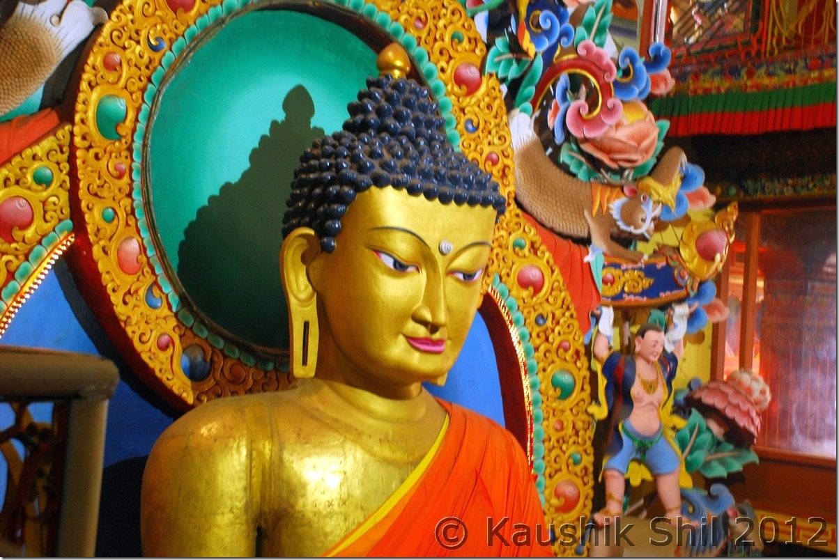
Tawang Monastery:

DSC_0089

Magical Zemithang:

DSC_0135

Snowed Out Tawang:

DSC_0171

Snow in backdrop of Fall Colors:

DSC_0181

Inside Tawang Monastery:

DSC_0227

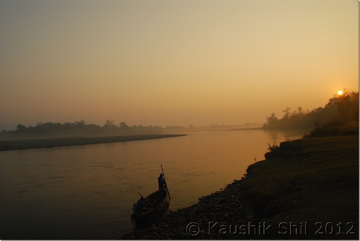
Sunrise in Nameri:

DSC_0265

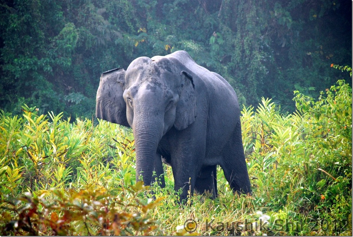
Elephant Nameri National Park:

DSC_0275

What a Geometry:

DSC_0284

Ziro:

DSC_0350

Apatani Girl:

DSC_0369

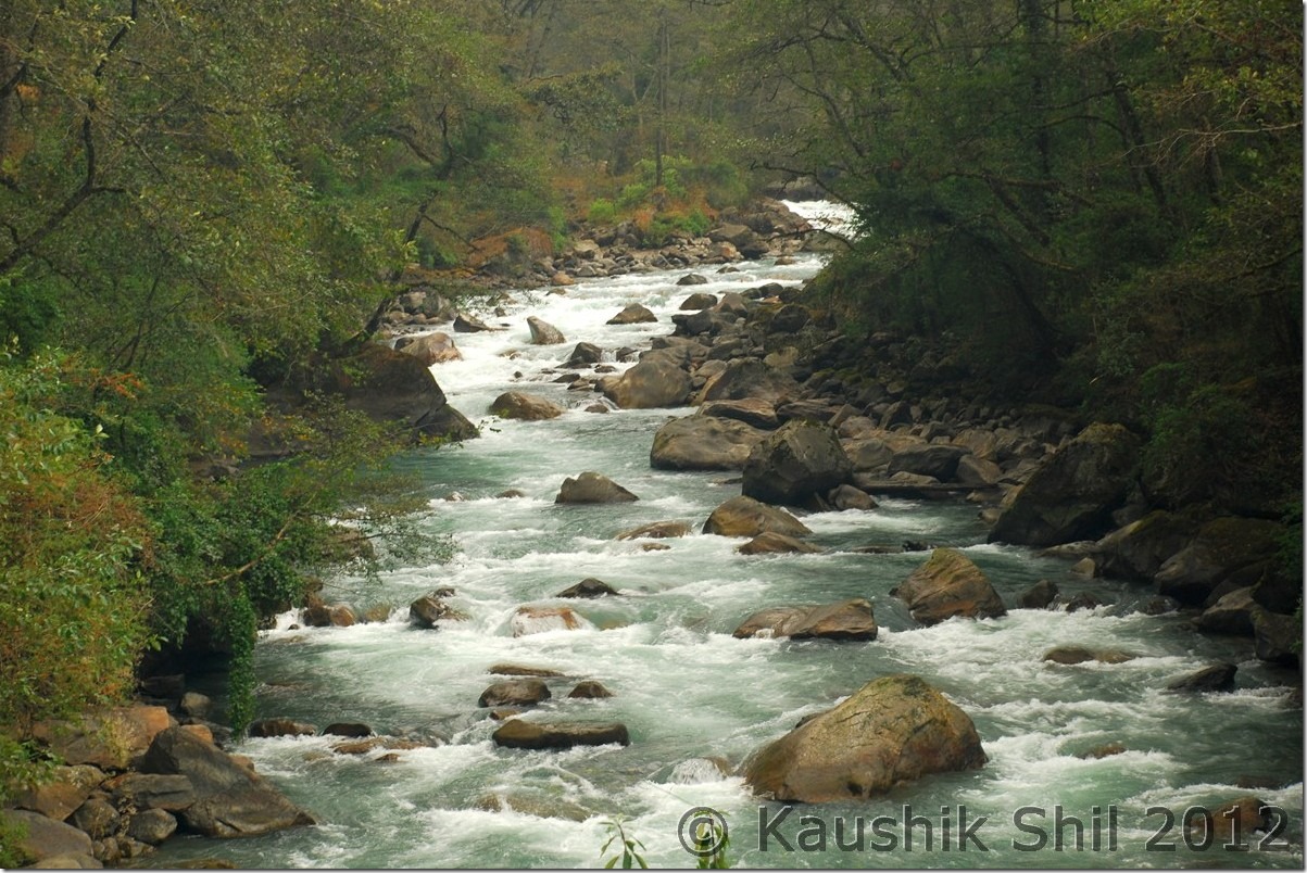
Subansiri River:

DSC_0421

Wayside Water Falls towards Mechuka

DSC_0488

Adi Tribes:

DSC_0496

Mechuka in evening

DSC_0512

The Hanging Bridge at Mechuka, Signature of Arunachal:

DSC_0556

River Si (Yargap Chu):

DSC_0559

Indian Air Force is landing at Advanced Landing Ground Mechuka:

DSC_0583

Mechuka:

DSC_0602

Mechuka at evening:

DSC_0637

Moonlit Mechuka:

DSC_0644

Mystic Mechuka Valley:

DSC_0650

Gorgeous Serenity:

DSC_0657

Lovely colors:

DSC_0664

Siyom River:

DSC_0685

Morning Mist on Siang Gorge:

DSC_0736

Mighty Siang:

DSC_0749

Tuting Inspection Bungalow:

DSC_0780

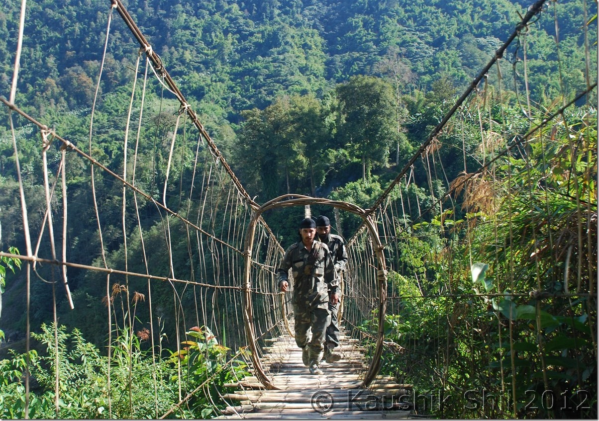
Indian Army at LAC near Gelling:

DSC_0793

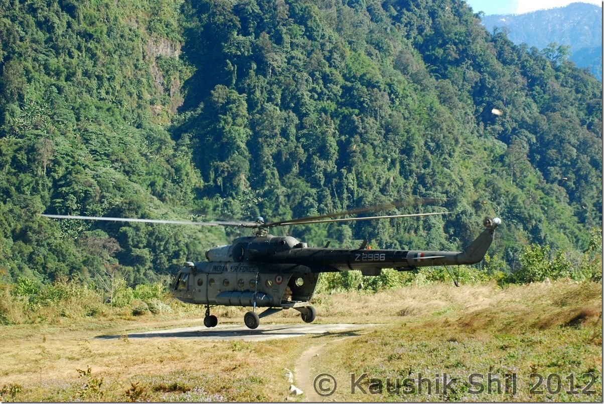
Chopper drops the ration at Gelling:

DSC_0812

Memba Boys:

DSC_0836

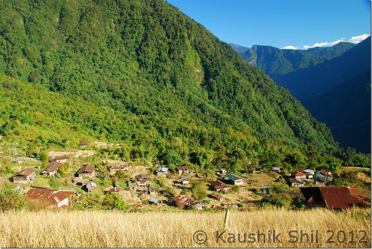
Gelling, the gorgeous Village:

DSC_0839

The green mountain in back is the dividing line between India and Tibet (China) – McMahan Line:

DSC_0854

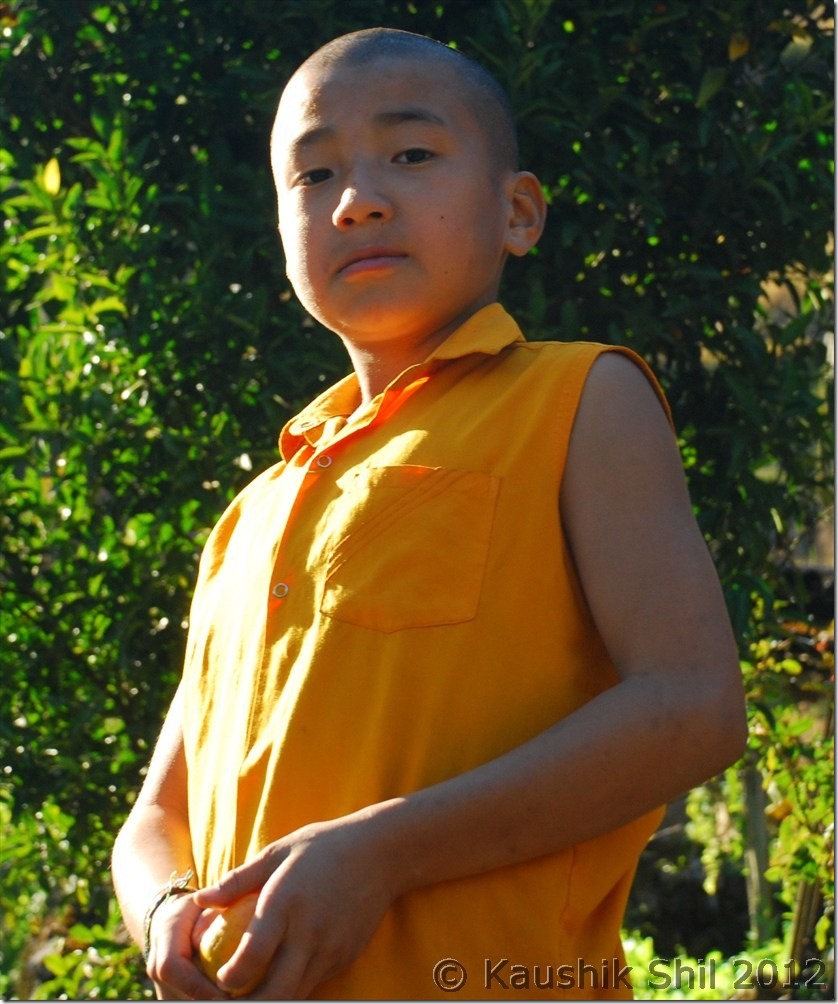
The Cute Lama:

DSC_0863

Majestic Upper Siang:

DSC_0901

Galo Girls:

DSC_0948

Next: Amazing Arunachal – Nameri National Park and on the way to Tawang