Arunachal Far East – Dibang Valley, Walong, Kibithu and Namdapha – Part-1

This trip was never possible unless I would have got help from few fellow travellers like Kothanda Srinivasan, HV Kumar and Lindie. Trip log of Kumar is probably the only reliable road direction with valuable details for this region that available in internet; I didn’t even get any good map to plan for it. KS helped a lot by giving certain contacts of Dibrugarh, otherwise I never could get my ILP and Lindie’s help in getting accommodation details and information from web is invaluable. Phupla Singpo, a person who runs a NGO in Miao and Arif an engineer by profession and a great photographer by passion presently located in Jairampur were of great help and without their help I might not be able to cover all the places I intended to go.

My initial plan was quite ambitious and covering 3 weeks in Assam and Arunachal.. That cut short due to a family problem all of a sudden and I had to finally manage it in 12 days and because of that I decided to concentrate only on Eastern Arunachal and cancelled my flight ticket to Guwahati and booked it very late with heavy premium for 26th December to Dibrugarh.

Final Trip Plan was to start from Tinsukia and covering Roing — Mayudia — Tezu — Hayuliang — Walong — Hawai — Parsuram Kund — Wakro — Medo — Chowkham — Namsai — Bordumsa — Jagun — Miao — Namdapha –Jairampur — Nampong — Pangsu Pass — Ledo — Digboi – Tinsukia

Few Important Points to consider before making this trip

Let me summarize few points those are important to consider while making plans for an Arunachal trip specially central and eastern region. You can avoid these only by taking a service from an experienced tour operator in Arunachal but the premium to be paid for that would be extremely high.

Weather:

As the effective tourist season is quite short due to long spell of monsoon, the only option was to target this amazing place in Christmas/New Year holidays as November and December usually the driest in Arunachal and considering the remoteness and infrastructure problems, the weather plays a bigger role for a successful trip in this part of India. One day of heavy rain was almost ruining my trip, so checkout weather site and keep backup plan ready specifically if you go to remote place where river crossings or driving through boulders and mud roads are involved.

Accommodations:

The trip is little different than visiting other places of India because you need to plan in depth considering the absence of tourism infrastructure in the state except the Tawang sector. The available accommodations are only Circuit Houses, Inspection Bungalows or Forest Rest Houses those are usually cumbersome to book and even after that you always have a chance of cancellation in case of VIP Visit especially in a holiday season like Christmas and New Year. Usually repeated calls to DC/ADC/EAC/CO of the relevant district brightened the chance but in general communications in this regard only entertained 7 to 10 days in advance.

Inner Line Permits and Other Passes:

Other important thing is to going through administrative hassles of getting Inner Line Permits for the places you intend to visit and for some specific places even the special pass issued by District Administrations and Army. Some of the passes even require the Car Registration Numbers and Driver’s name and that makes it even more difficult to arrange in advance unless you drive your own vehicle. Permits usually issued for a specific tourist sector (Arunachal is presently having 11 approved tourist sectors) and it’s better to get the names of the place you would like to visit to be specifically mentioned in permit. I have two points to mention in this regard.

1. I arranged 6 permits, 2 from Kolkata, 3 from Mohanbari, Dibrugarh and 1 from Miao and permits issued from different places having completely different look and feel. This helps to some extent especially in check gates those are less touristy unlike Bhalukpong. In my case permits issued from Kolkata were scrutinized more rigorously than those issued from Mohanbari. So better option is to get permits from local offices if possible.

2. The rule is to enter and exit through same check gate and this sometimes make a round trip plan extremely difficult especially if you exit from a check gate where your vehicle is not entered. To avoid this I had to go extra 50 km when coming from Medo in Lohit to Miao in Changlang which is quite a lot considering extremely poor road conditions.

3. Considering backup plans, its better to arrange for all possible ILPs even if you don’t intend to visit all the places. For a remote state like Arunachal that might be really useful.

Vehicle:

Unless you drive your own vehicle, it’s an extremely important part to get a good vehicle and experienced driver to visit Arunachal. Vehicle costs the most among all cost components in the trip and without a good vehicle and driver it’s difficult to make this trip. Points to be noted are

1. The Vehicle Cost in NE usually having 3 components,

a. Dry Car Rent depends on type of car you choose but remote areas need Bolero/Scorpio kind of high ground clearance car as sometimes the NH shown in map is nothing but driving through river beds.

b. Drivers Daily Allowances varies from 300 to 500 per day or on actual. If you go to less touristy places, on actual having 3 distinct advantages, first it would be cheaper as almost all CH/IB having driver’s accommodation in low cost and second is less pocket money to driver is better in North East where drunken driving is a menace and third it helps to build up a rapport with the driver when you bear his costs on actual.

c. Fuel cost, it’s better to strike a deal on actual cost of fuel only if it can be ensured the car is in good condition and driver won’t take out fuel which is quite common here. Alternatively you can strike a deal of a rate like Rs/km or expected mileage of the car. My deal was car should give an average of 10km/ltr and if it goes better the profit would go to owner if less, loss has to be incurred by him, I ran for 1000km and paid for 100 liter diesel and adjusted the extra with rental cost.

2. It’s cheaper if you can strike a deal with owner or driver directly as sometimes 2/3 middlemen are involved when you go through travel agents. Also in my case I found cars from Tinsukia were less costly than taking it from Dibrugarh as because of simple economics of demand and supply.

3. Once again the roads are so poor, try to ensure that you get a car preferably less than a year old with good conditions even if that costs you a premium.

Food
Don’t expect dhaba or eateries anywhere in between specially when you are in Dibang Valley, Lohit or Anjaw, so try to get a heavy breakfast and keep dry foods and ample waters with you. This would save time as well in these slow roads.

Contingency Days:

Assam and Arunachal both are infamous for their sudden strikes and whatever small fraction calls it, for some reason it becomes a complete shutdown and may completely put your plan in a chaos. So keep extra days in hand.

26th December:

My indigo flight from Kolkata was a nightmarish experience just because of the Chaos in Kolkata airport on that day. I was almost missing the flight even after reaching airport 2 hours before the departure time. Would think twice before booking Indigo in a rush time from Kolkata. Landed 20 mins late at Mohanbari and had a great weather, from flight got unhindered views of Himalayan range and got an Indica to move to Tinsukia as I decided to start my trip from there instead of Dibrugarh. Tinsukia is having a few hotels but only 2 of them are good, Hotel Ballerina is prohibitively costly considering its ambience, I chose Hotel Mayur Jyoti, a value for money hotel, room rent was around 1000 all inclusive tax and food was good. While coming at Tinsukia, saw a few posters of “Assam Bandh” on 27th December, didn’t give much thought as it was called by a not so well known Students’ Union but when I called up the Owner of the Car I have chosen for my trip he said only next day we would be in a position to judge the situation. So went for sleep with hope nothing would happen and I might be able to stick to my plan.

27th December:

Got up at 5.00am as I was planning even if strike happens, I might give it a slip by leaving early but Assam Bandh is something spectacular, it starts from 5.00am and usually called for minimum 24 hours (I heard of 100 hours Strikes too there). Called up the owner of the car and he said we have to wait until 8.00am to see the situation and by 7.00am I understood I was going to loose a day, no shops were open, no transports on the road. I had no other option than to just lock myself in the hotel room for the whole day and try to do the toughest job, re-planning an Arunachal trip.

28th December:

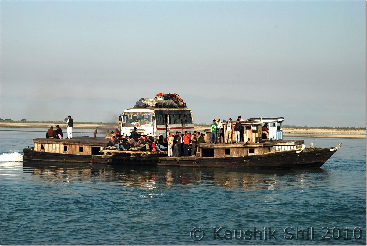
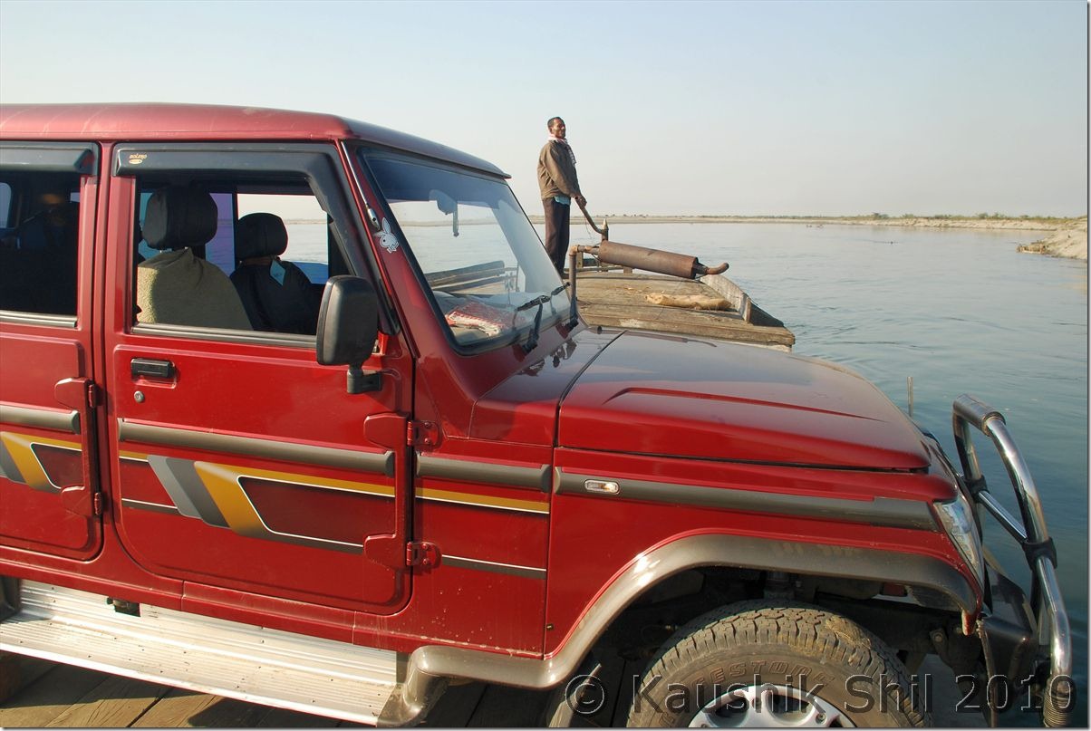
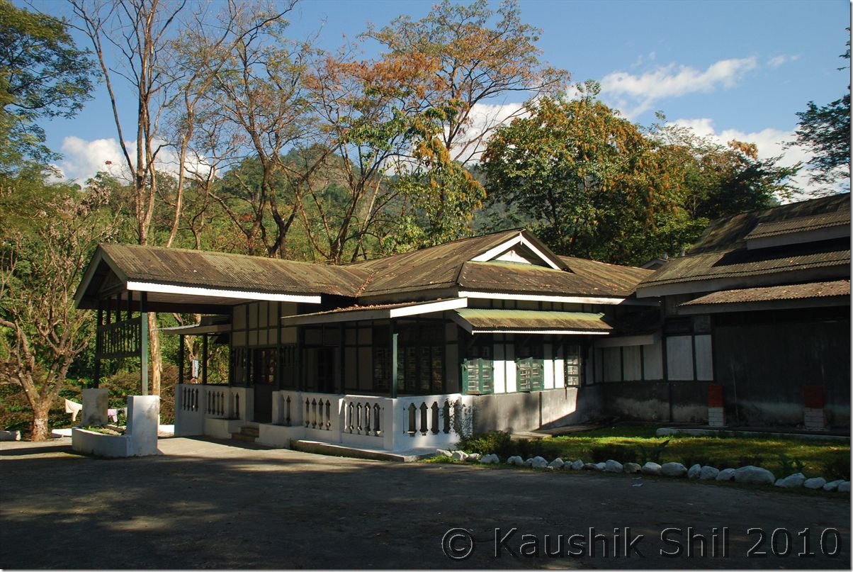
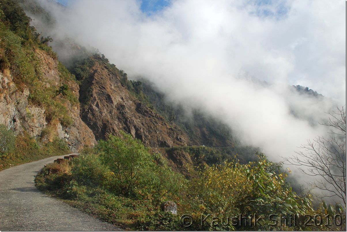
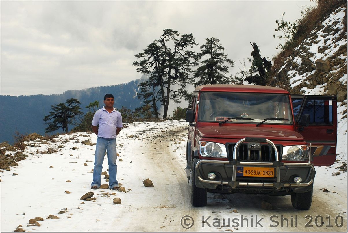
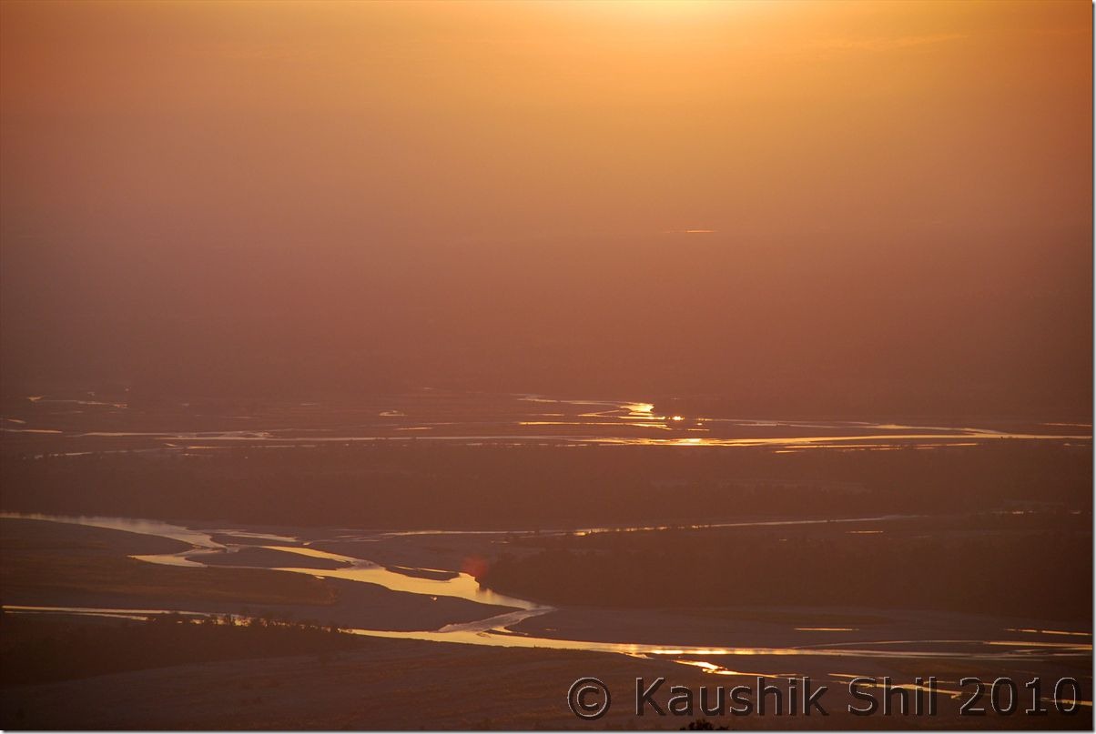
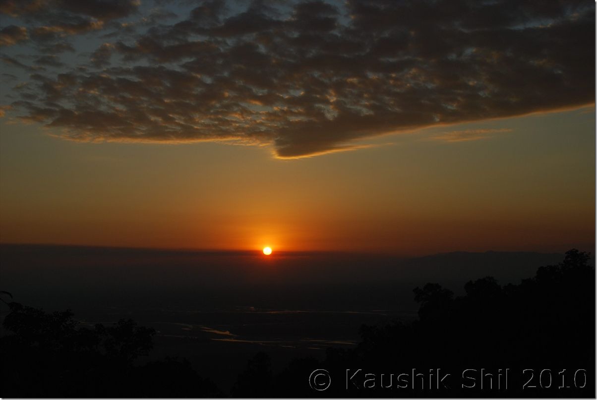
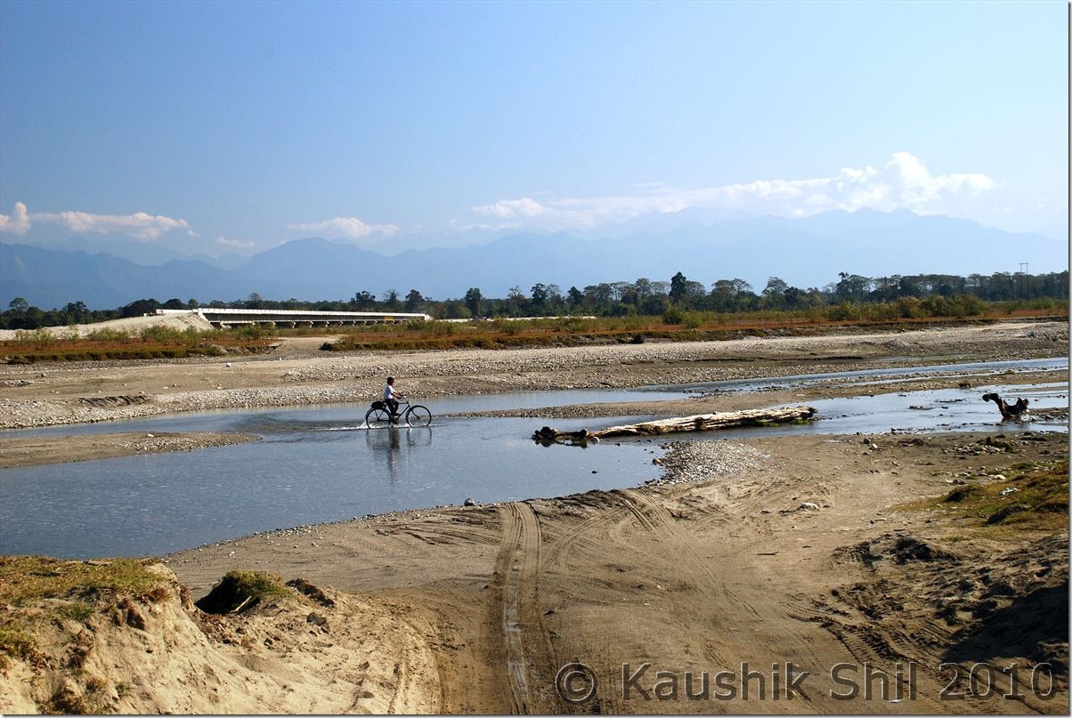
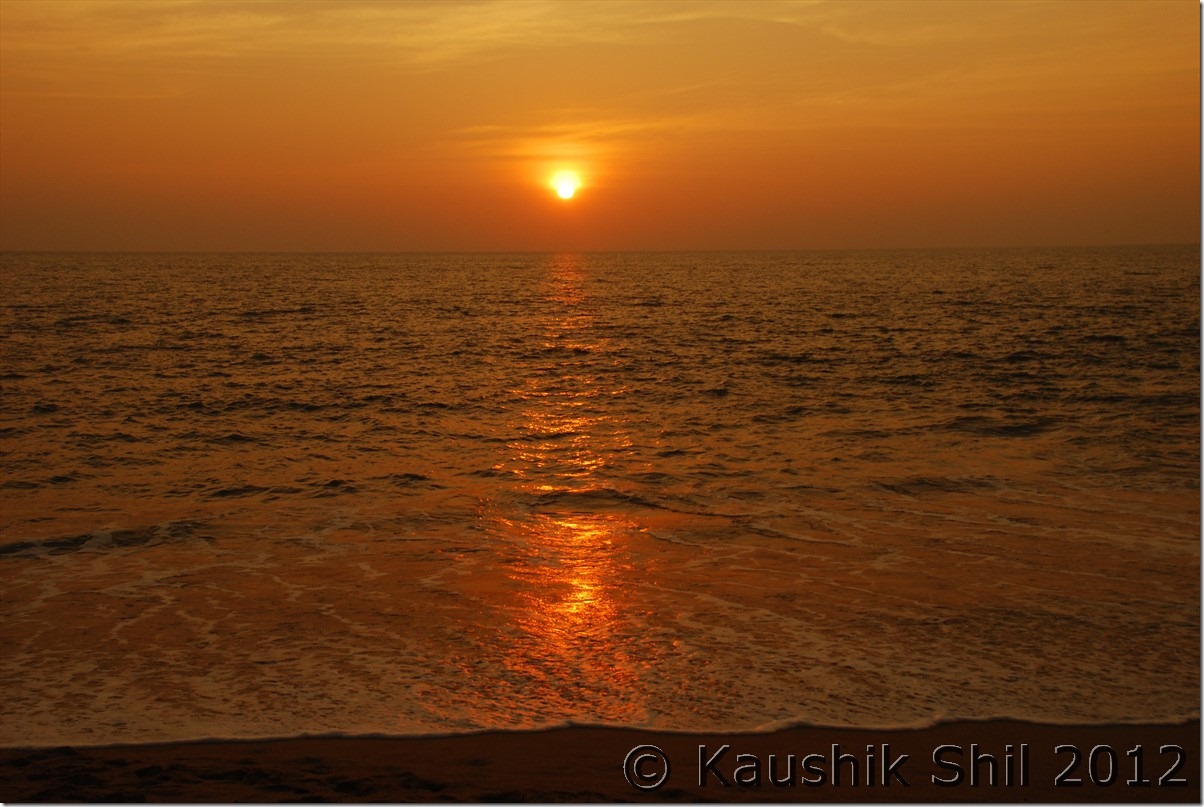
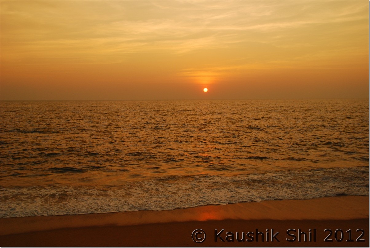
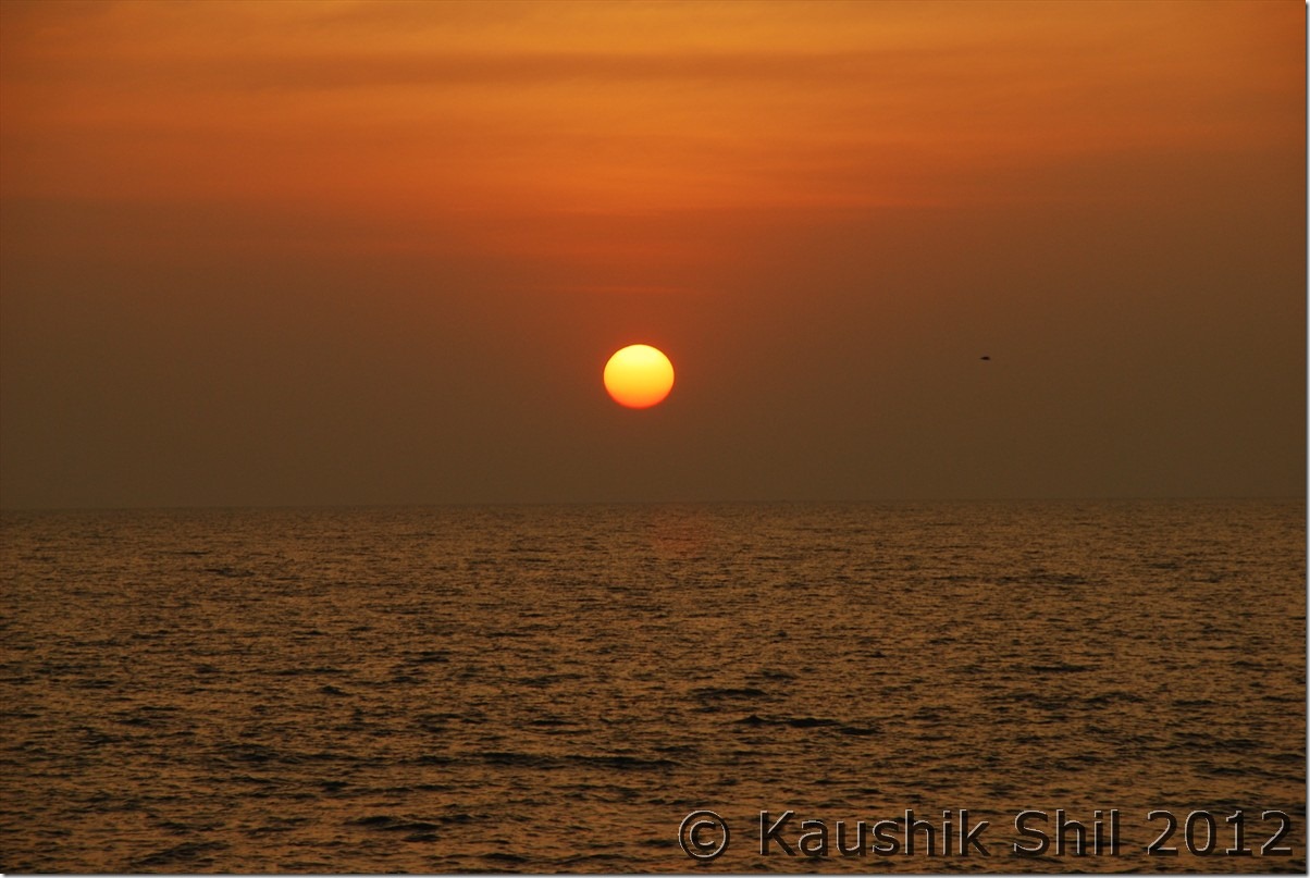
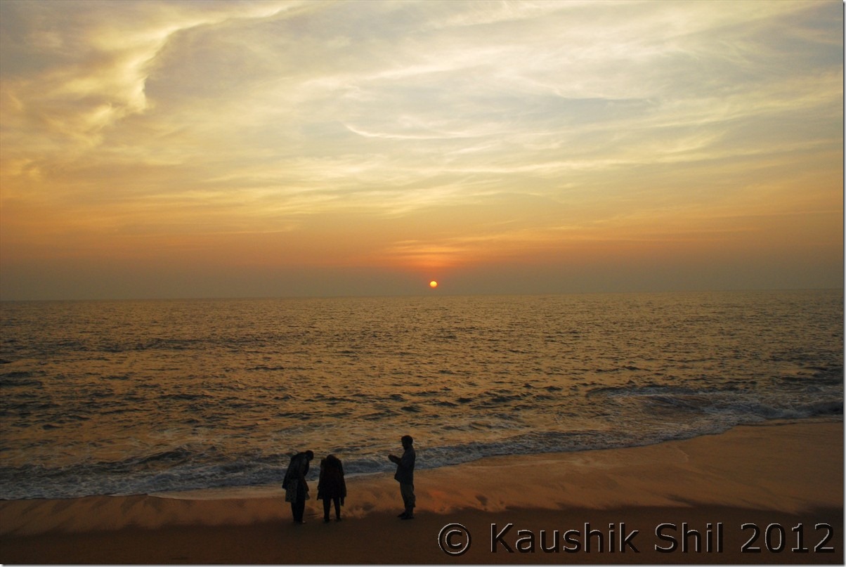
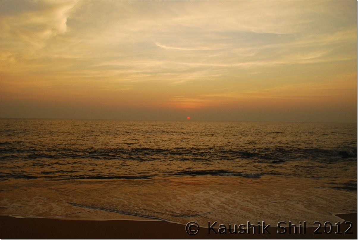
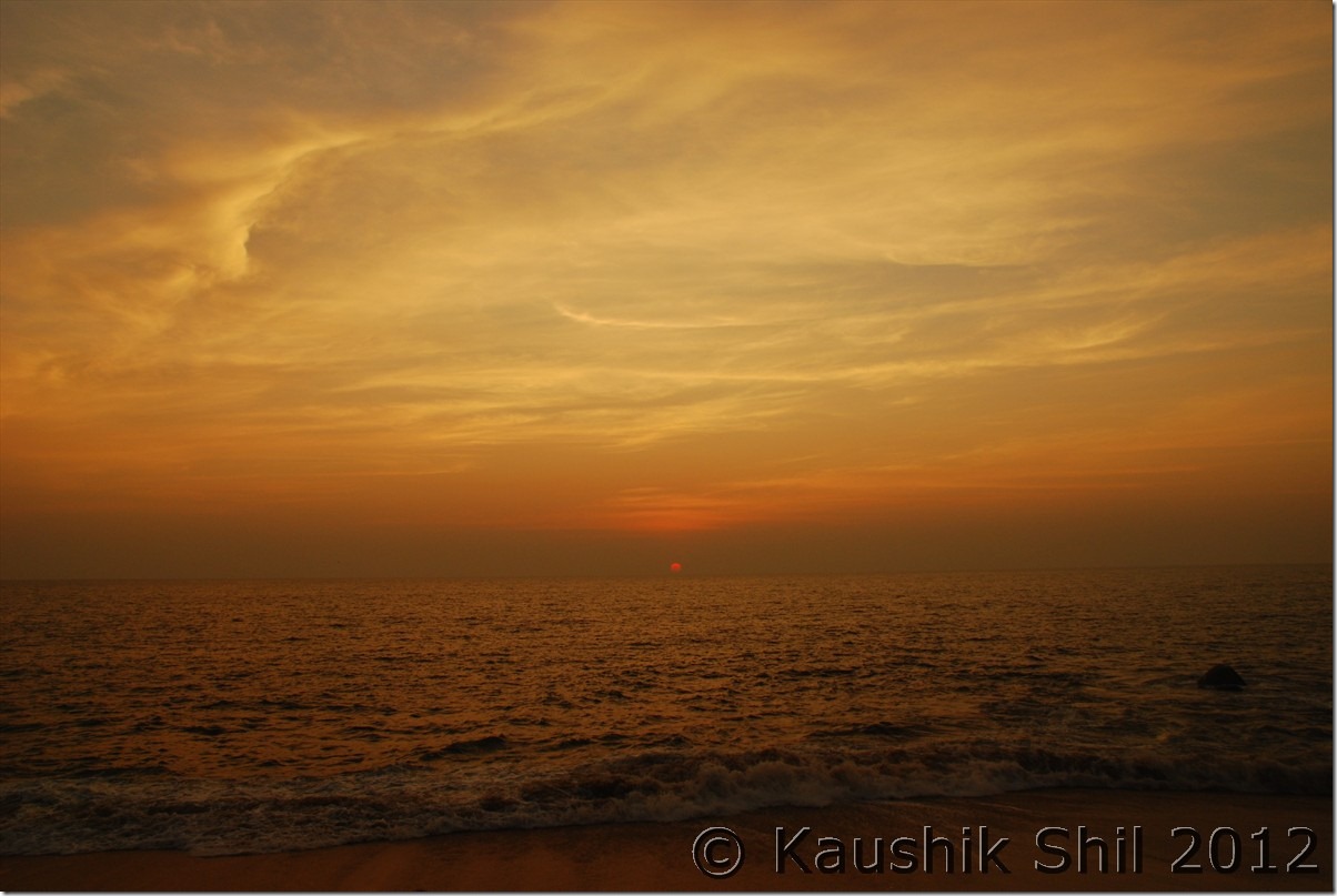
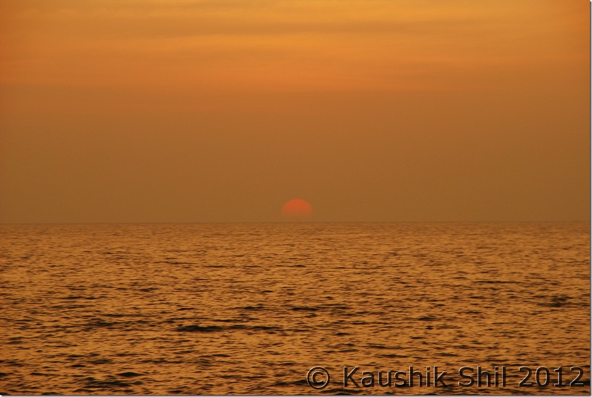
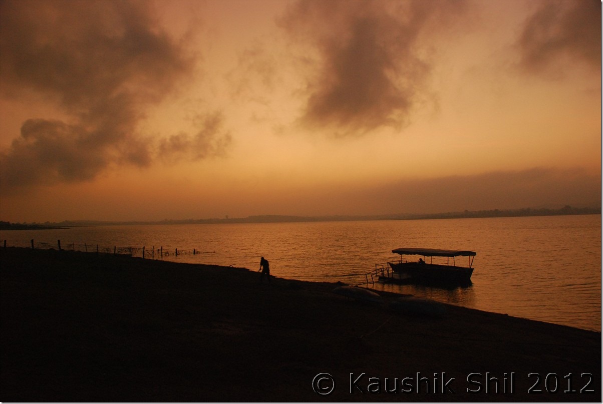
Got terribly irritated by a 24 hours unscheduled stop and left Tinsukia sharp at 6.30am. Followed the AT Road and from Makum the road bifurcates, right goes to Digboi and straight one towards Dumduma/Dirak. It was a foggy morning and a nice drive through tea gardens on both sides. Soon we crossed the junction where again road towards Dirak gate/ Parsuram Kund gets separated in right and reached the Brahmaputra. (Technically the river was still Lohit as after this place when Dibang and Siang meet Lohit, the river is named as Brahmaputra). The road up to this (almost 50km from Tinsukia) was brilliant and we reached there at around 8.00am. As because of winter, water receded far away and we had to drive almost 3 km through river bed to reach the actual waterline. The Govt Ferry was scheduled at 9.30am that charges 200/- to ferry car and 10/- per person but as we were in a hurry to make up our lost day, we decided to hire a private boat and it was proved to be terribly costly, they understood our situation and asked for 2000/- that was negotiated to 1500/- and finally we crossed the river to other side (Sadiya Ghat) by 9.00am. In Monsoon crossing this stretch takes 3 hours as per the boatmen, Fund is already sanctioned for a bridge here and work started but considering work culture of Assam; locals expect at least 10 years to get the bridge completed. The Bogibil Bridge is still not 50% completed and current estimated completion time is 2014. Once again after another 2/3km river bed drive on other side and paying a toll of Rs.30/- for some unknown reason we hit road in Sadiya District of Assam probably the worst road in whole Assam. Roing was barely 37km from here through Shantipur gate and it took us almost 3.5 hours. After a terrible journey and checking ILPs in Shantipur gate we reached Roing around 1.00pm straight proceeded to Sally Lake Guest House, a forest department bungalow within Mehao Wildlife Sanctuary located in a nice ambience just beside Sally lake. You could book it through ranger Mehao Wild Life Sanctuary and that’s highly recommended unless you can manage circuit house or Forest Inspection Bungalow at Roing. There are two private hotels (Lasa and Mimu) in Roing both are extremely filthy and difficult to stay even for a single night. We just checked in the forest bungalow and proceeded to Mayudia to make up our lost time. The road to Mayudia is extremely scenic and mountain roads through Mehao WLS, you might need quite a few photo stops in between and if you could cross this stretch early in the morning, chances of watching various species of birds are quite high. The road barring last 15km of total 42 km from guest house was good. This is the same road that goes up to Anini via Hunli, both are having circuit house to stay. Road to Anini is still cut off now for almost 8 months and even telephone lines are down, only communication with rest of the country is through helicopter. We got snow at Mayudia and that’s the primary reason why tourists visit there. There is a Forest Guest House close to the Pass where one can stay but there is no electricity there. Drove back to our Guest house in evening, experienced unforgettable sunset on Dibang River on the way.

Showkiaghat drive through Brahmaputra Sand bed:

0016_Showkiaghat drive through Brahmaputra Sandbed

Crossing Brahmaputra:

0020_Crossing Brahmaputra

Sailing on mighty Brahmaputra:

0036_Sailing on mighty Brahmaputra

Sally Lake Guest House owned by Forest Department:

0051_Sally Lake Guest House owned by Forest Dept

Mists covering road to Mayudia:

0072_Mists covering road to Mayudia

At Mayudia Pass:

0077_At Mayudia Pass

Sun sets on Dibang Valley:

0101_Sun sets on Dibang Valley

Setting Sun on River Dibang:

0103_Setting Sun on River Dibang

29th December:

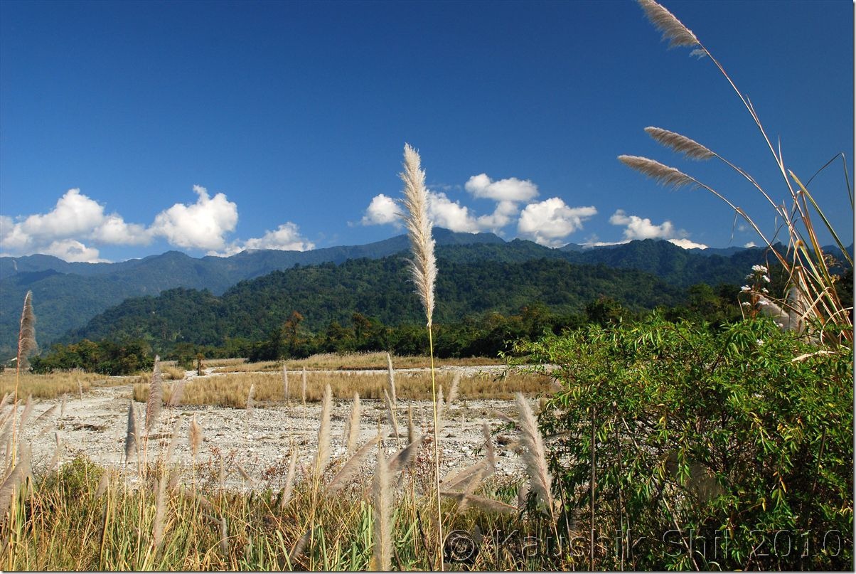
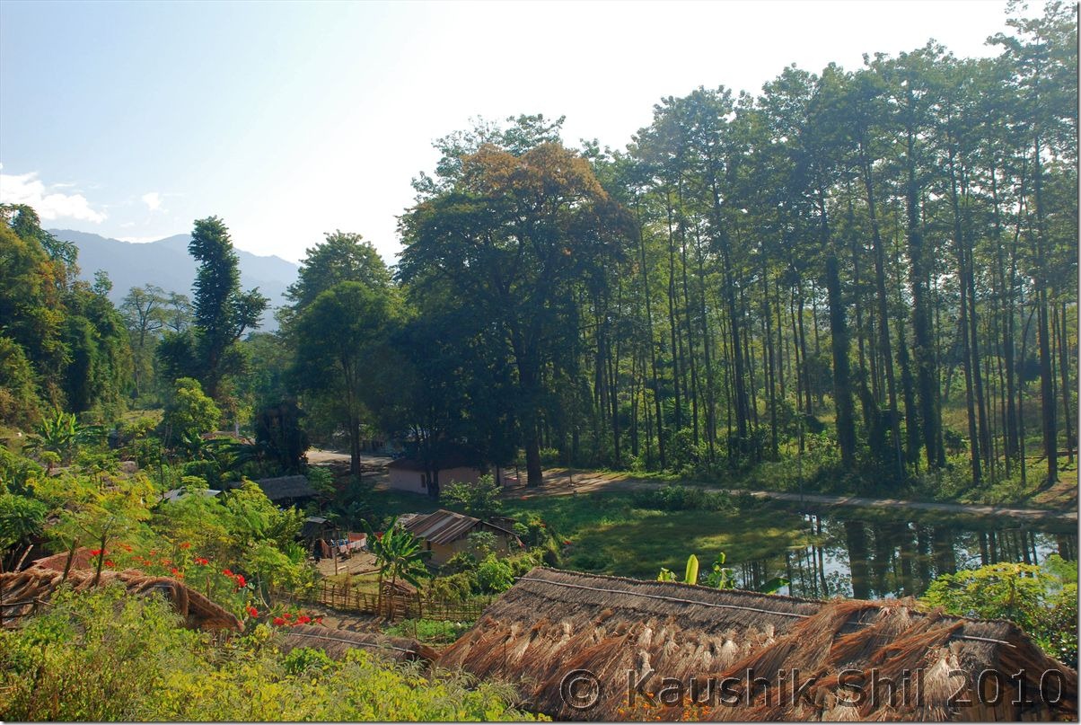
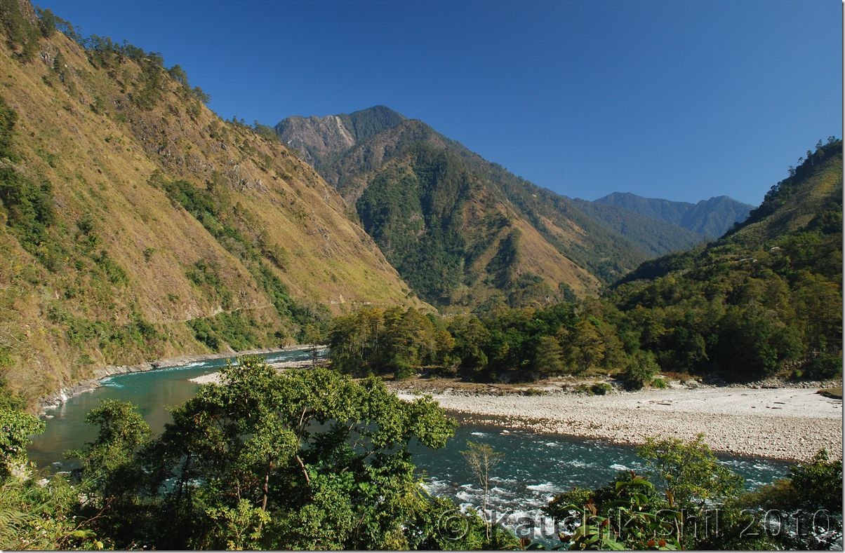
Again we had a long day ahead as I was planning to reach Hayuliang on that day, the shorter route from Roing to Tezu is through Bhismaknagar (an eighth century archaeological site) and I was planning to take that. But in main market when I enquired about the road condition (always advisable in Arunachal) all local drivers told me not to take risk in that road without a 4X4 vehicle as it’s mostly through various river beds with lots of Boulders. I changed my plan and as per their advice came back to Assam through Shantipur Gate and entered Arunachal again through Sunpura Gate. The road was almost non existent here as well; mostly through village roads we finally reached Tezu (from Roing its 67km) after a drive of almost 4.5 hours. In Sunpura gate my ILPs issued from Dibrugarh was of great help as Tezu was mentioned very clearly there, where as the ILP I got from Kolkata only having the districts mentioned. In check gate those guys started telling me a story of newly introduced charge of Rs.250/- per vehicle from tourist and when I challenged and asked them to show the Govt Circular, they simply let me go after requesting for some tips. To reach Tezu, we had to cross at least three rivers, one having good amount of water, every year the bridges are being washed away in monsoon, we could see them and new bridges for next season are being built probably to be washed away again. Tezu is last big town in the region and we took whatever we require starting from dry foods to water and finally started for Hayuliang around 11.00am. The roads after Tezu is excellent, probably being made recently for Parsuram Kund festival that is scheduled in Mid January and biggest festival of Lohit District. We crossed the Y-Junction at 12.30pm (24km from Tezu) where one fork comes from Tezu, other goes towards Namsai via Parsuram Kund and the third one goes to Hayuliang. From here the hill starts and Lohit river starts giving you company until you reach the north eastern most border between India and China. The road is extremely scenic but at least 6 stretches of 1 to 2 km each until Hayuliang were horrible and could be broken even in slight rain. The mountains and deep turquoise colored Lohit would be with you all along with several Orange Orchards in between. We reached Hayuliang (65km from Y Junction) around 4.00pm and as advised by ADC, instead of IB at Hayuliang we stayed at Circuit House of Khupa just 2 km ahead of Hayuliang. It’s recently built in 2009 and looks very new. The person there is very friendly and food was good as well. Had a nice sleep after a long day.

Last few villages in Plane before the hill starts:

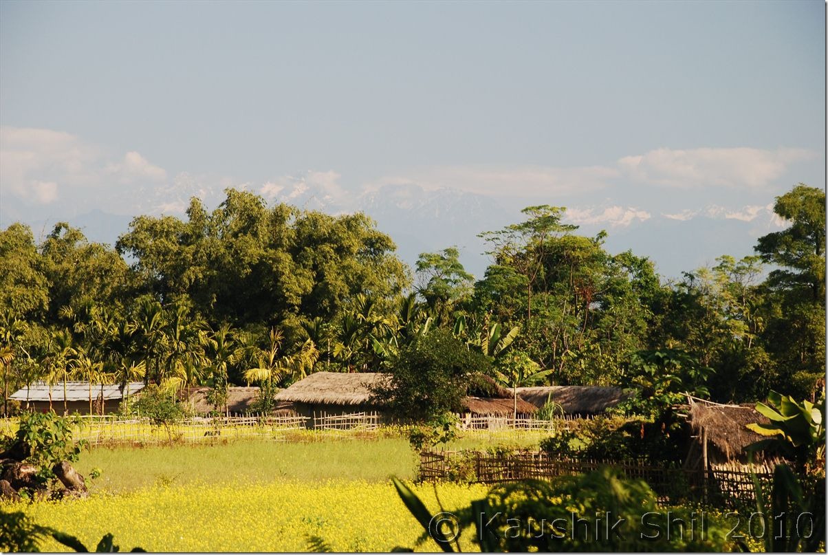
0126_Last few villages in Plane before the hill starts

The famous roads of Arunachal:

0135_The famous roads of Arunachal

Leaving Tezu proceed towards Hayuliang:

0153_Leaving Teju proceed towards Hayuliang

Village of Anjaw:

0155_Village of Anjaw

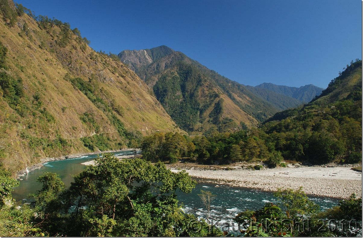
Lohit River Basin from Top:

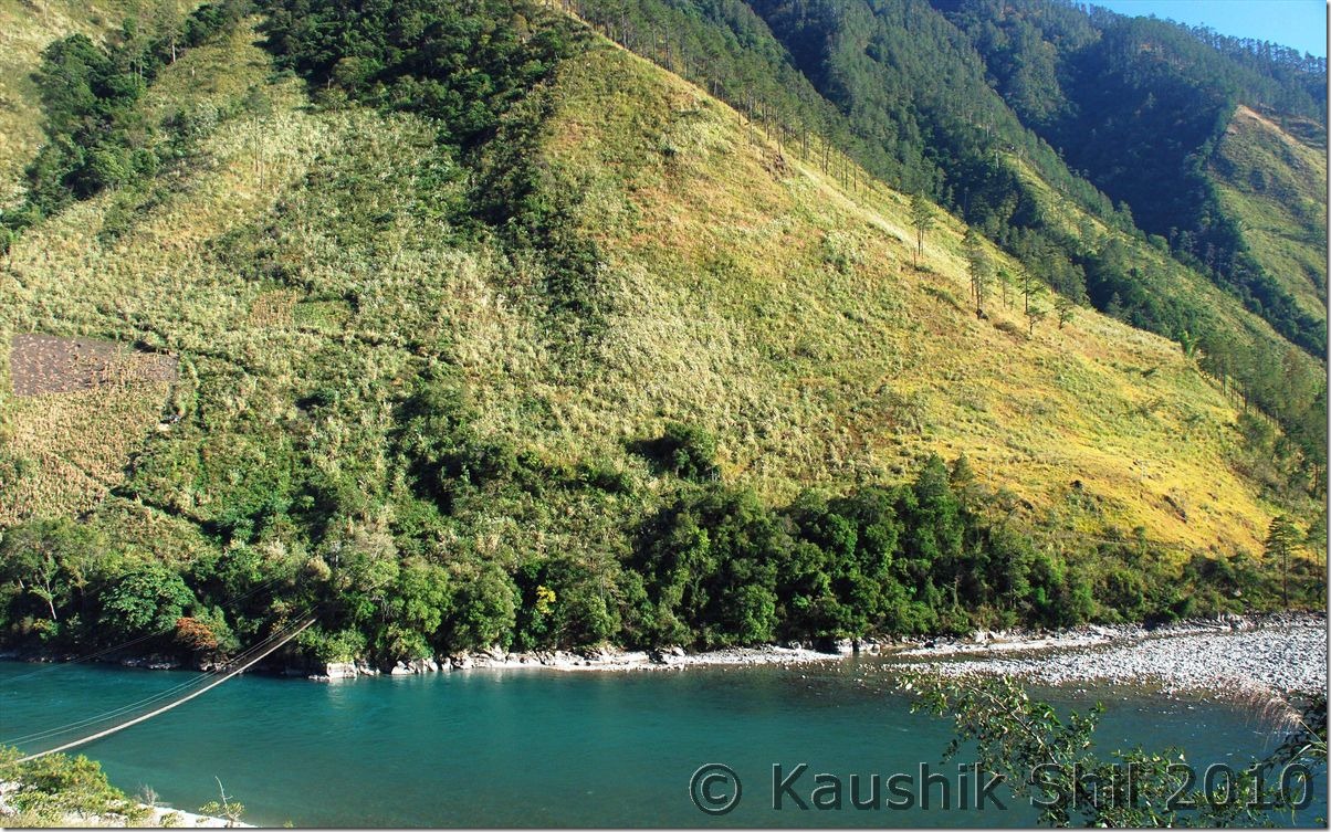
0278_Lohit flowing through Anjaw

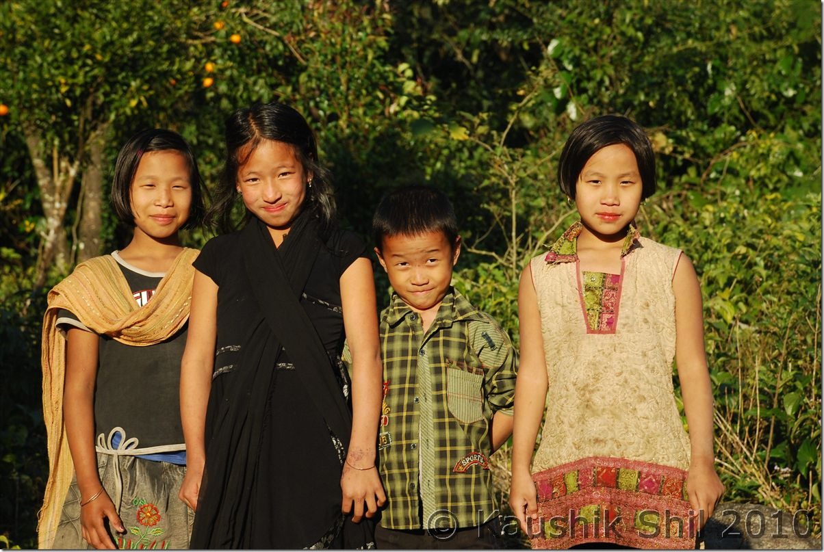
Mishmi Kids:

0195_Mishmi Kids

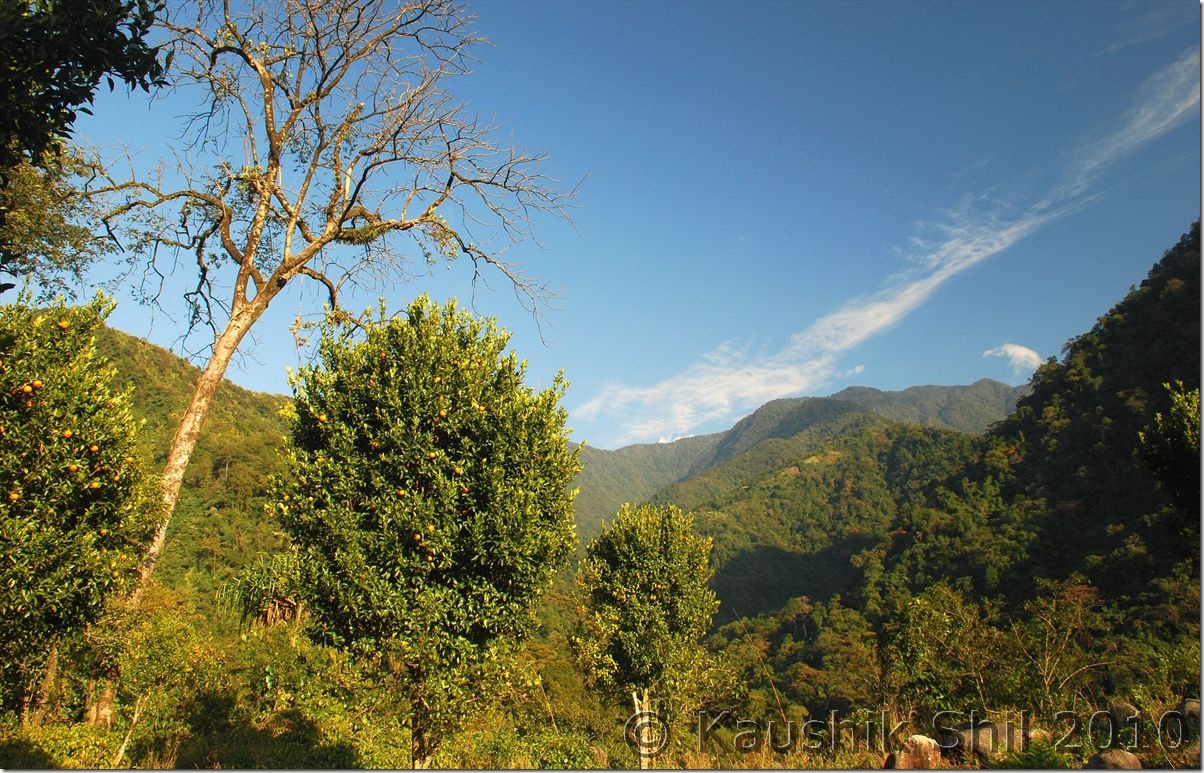
Orange Orchard:

0197_Orange Orchard

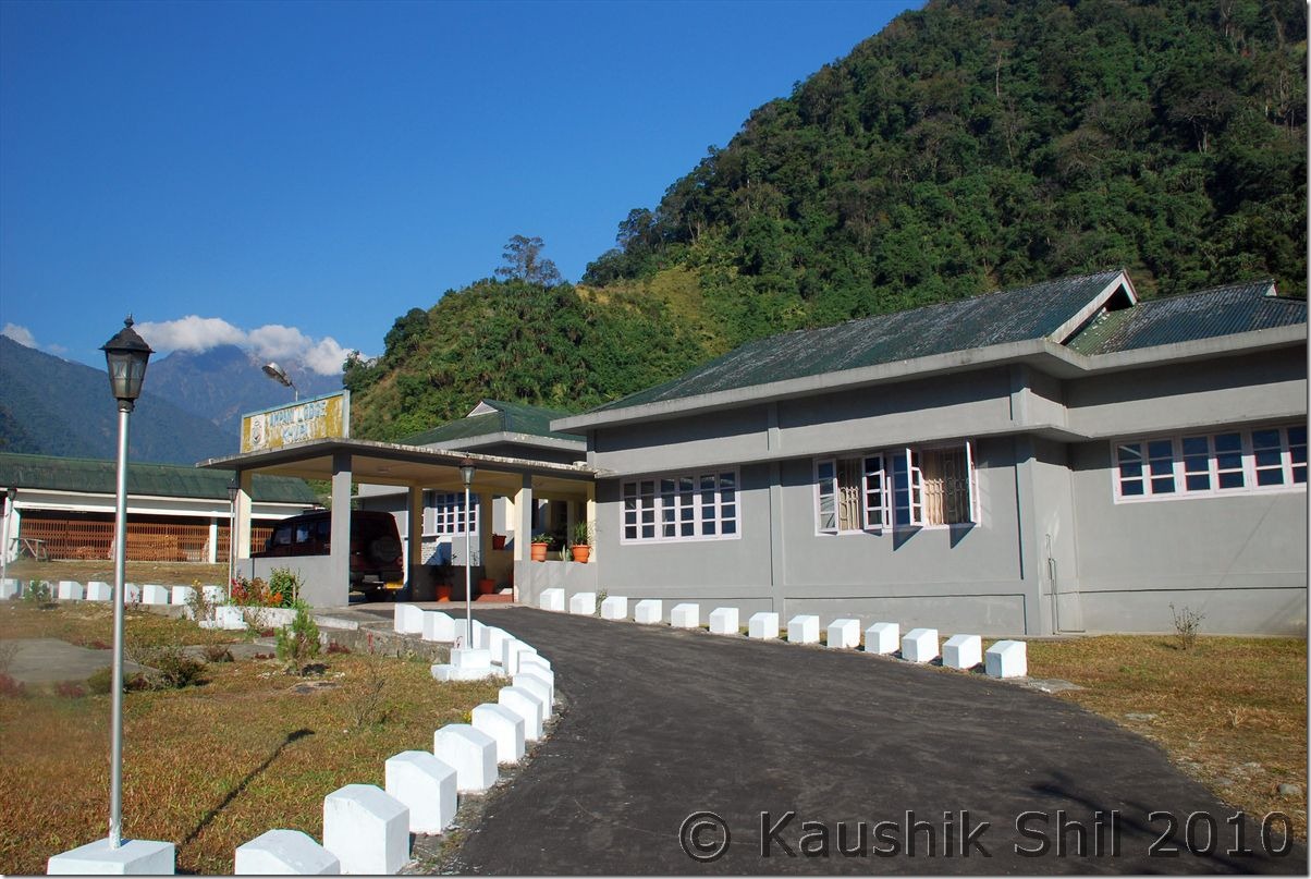
Circuit House at Khupa excellent place to stay:

0223_Circuit House at Khupa excellent place to stay

30th December:

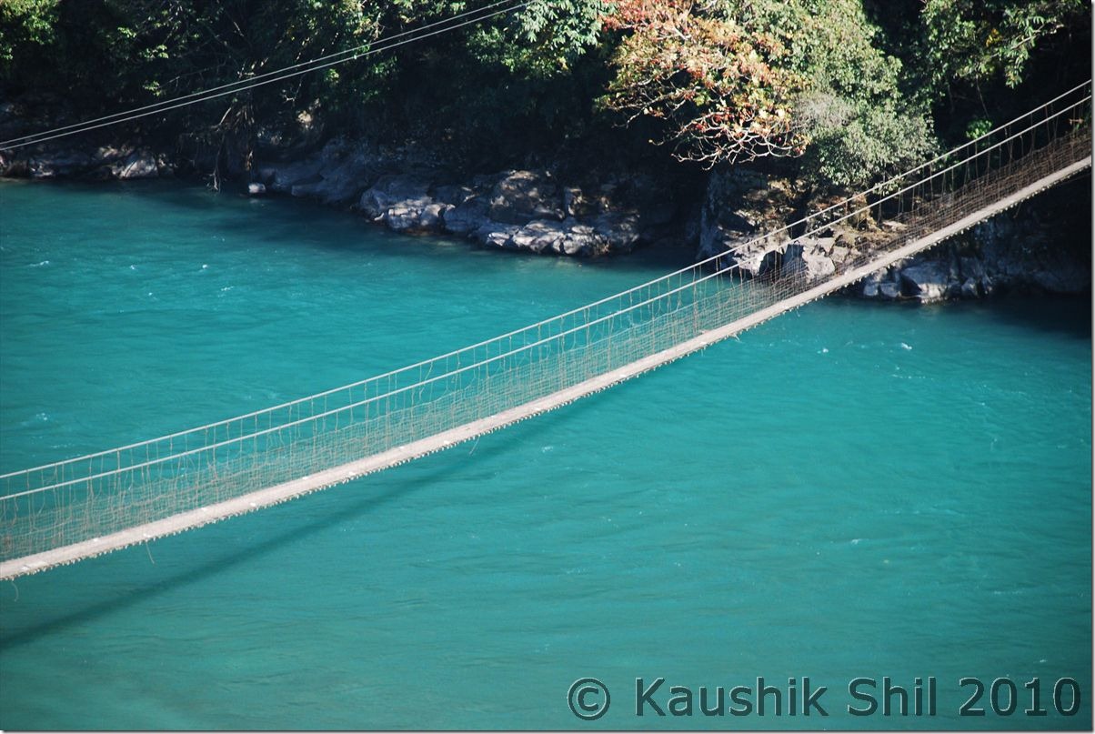
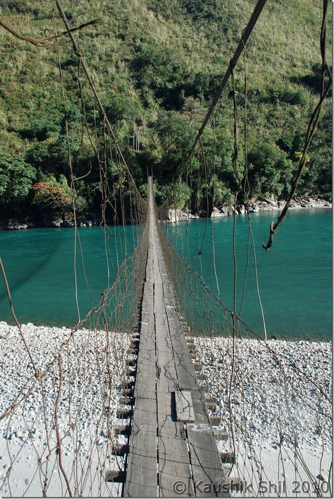
Started around 8.45am in the morning for Walong after the breakfast, There was a new road built by BRO to Chaglogam, another remotest circle of Anjaw but already broken in this year’s heavy monsoon. The road starts 5km after Hayuliang and may be later I would comeback for this stretch again. We drove along main highway, crossed the Chinwanti (47km from Hayuliang where the road to Hawai diverts) at 11.55am and leisurely driving and stopping for snaps all along the road. There are couple of hanging foot bridge over Lohit and we experienced crossing them, They are so narrow and starts swaying even with slightest wind, it is surely a life time experience crossing over them on foot. We reached Walong (85km from Hayuliang) only at 3.30pm after enjoying all through the road. At Walong we stayed at Inspection Bungalow, pretty cheap @Rs.200/- but excellent room and location to stay and we repented not planning to stay here for longer. There are several side valleys to explore from Walong like Helmet Top, Namti Top all having signs of 1962 Sino-Indian War. We had a nice dinner and then a good sleep though it was bone chilling cold at Walong.

Lohit flowing through Anjaw:

0278_Lohit flowing through Anjaw

Hanging Bridge on Lohit:

0310_Hanging Bridge on Lohit

Lohit Cutting Across the Valley:

0319_Lohit Cutting Across the Valley

Jhula on Lohit, the signature of Arunachal:

0325_Jhula on Lohit

Next: Arunachal Far East – Dibang Valley, Walong, Kibithu and Namdapha – Part-2
Karnataka – Hampi Part-2
Day20

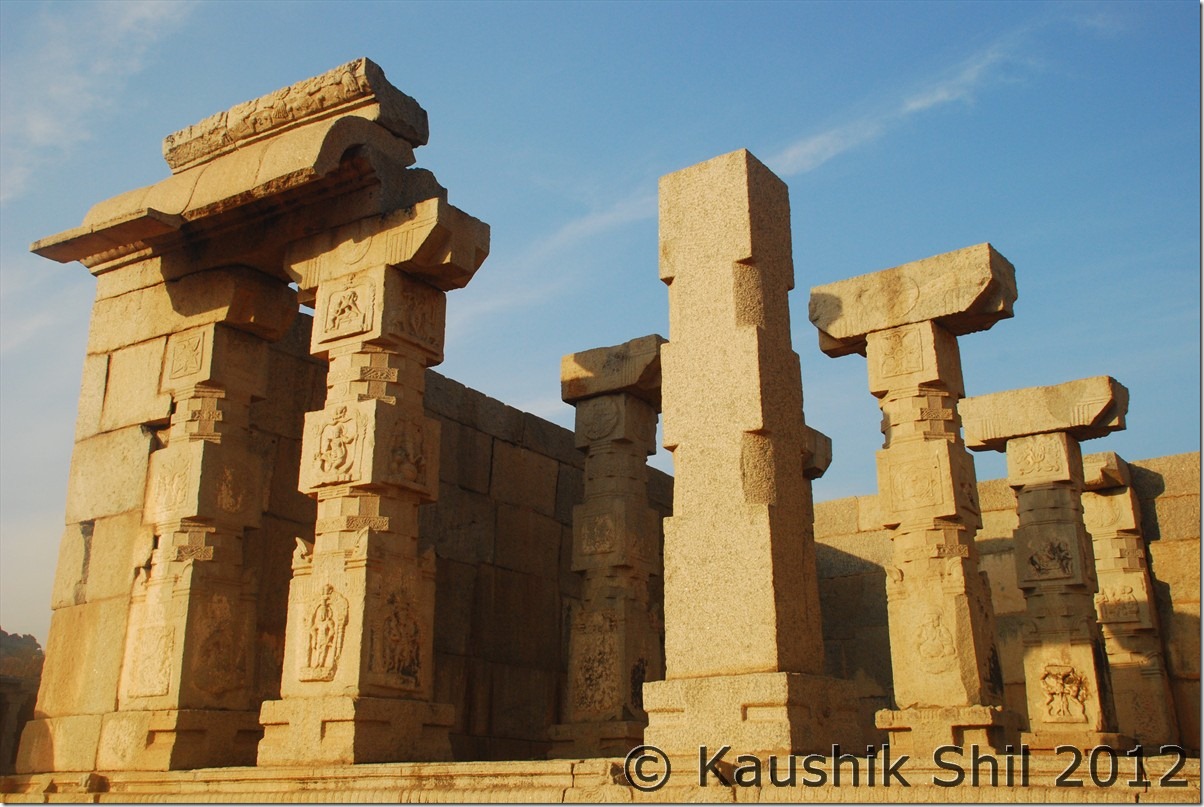
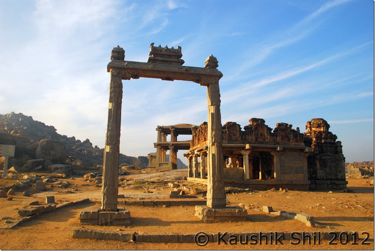
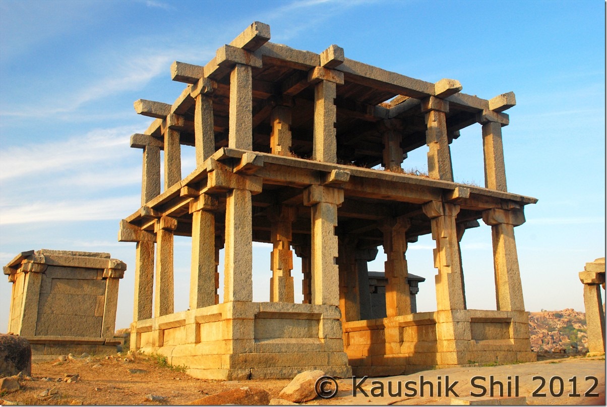
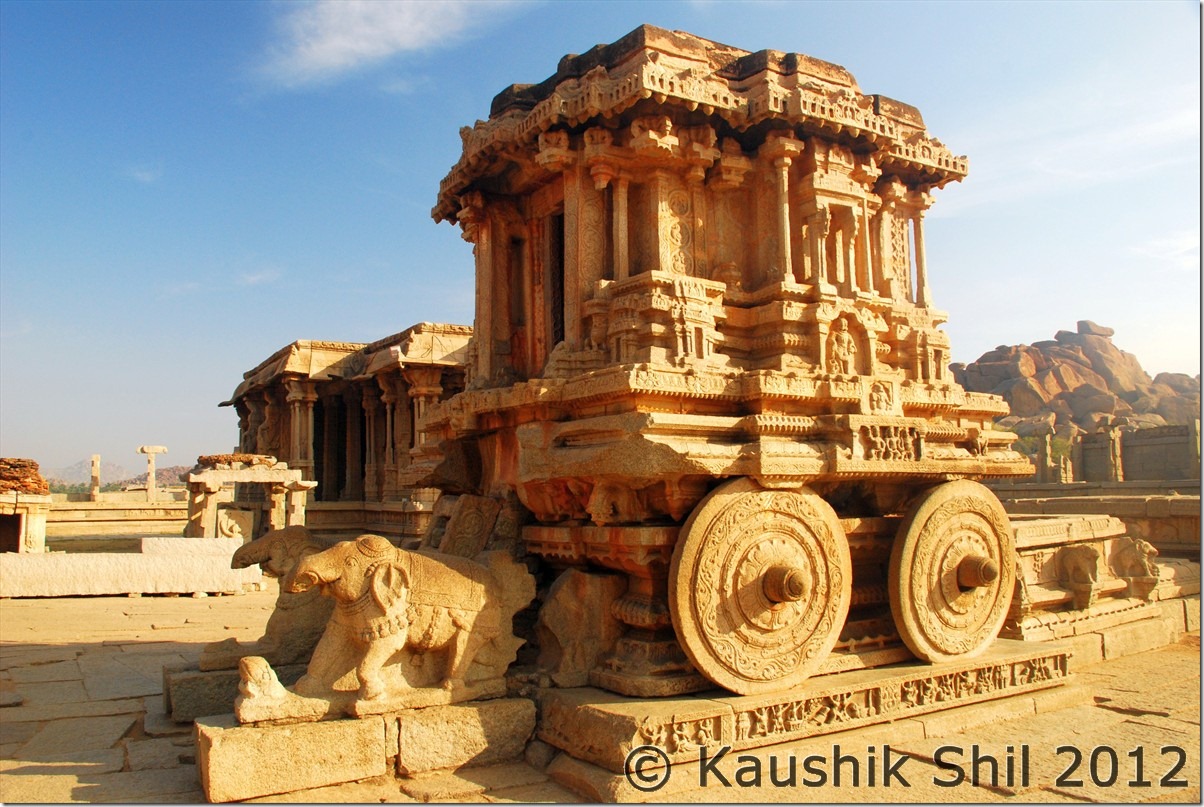
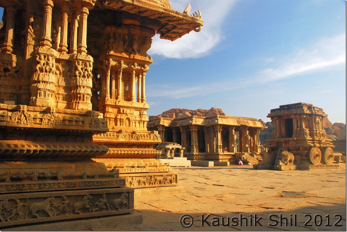
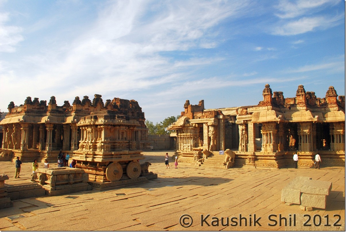
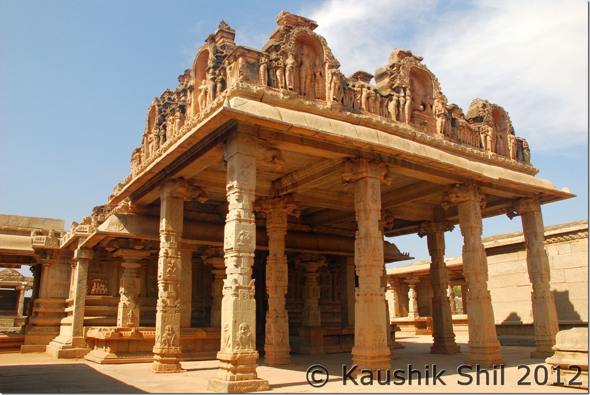
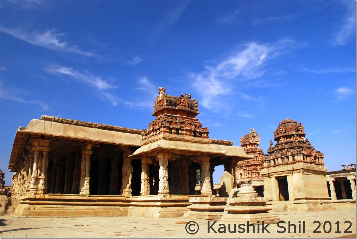
We started off in the early morning again and straight gone to the Vittala Temple. The temple opens at 8.30am and we spend the time in the nearby Vishnu Temple, the King’s Balance, the Two Storied gateway etc before we entered the Vittala Temple as first tourist of the day. This is one of the two places in Hampi that need tickets to enter, the other is the Zenana Enclosure in the Royal Center area. The same ticket is applicable for both places and for Indians it’s just Rs.10. Being the first visitors, we enjoyed the place a lot without crowds and it was really a spectacular structure and it worth a separate mention among so many other beautiful ruins around Hampi.

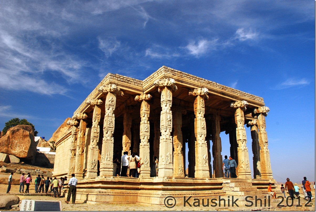
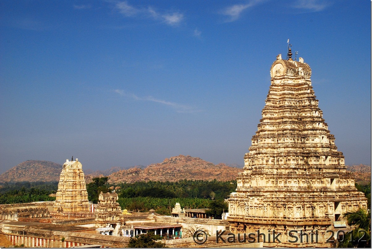
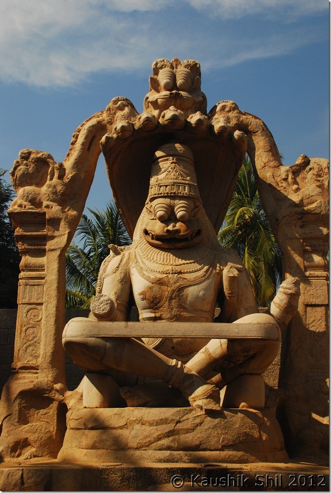
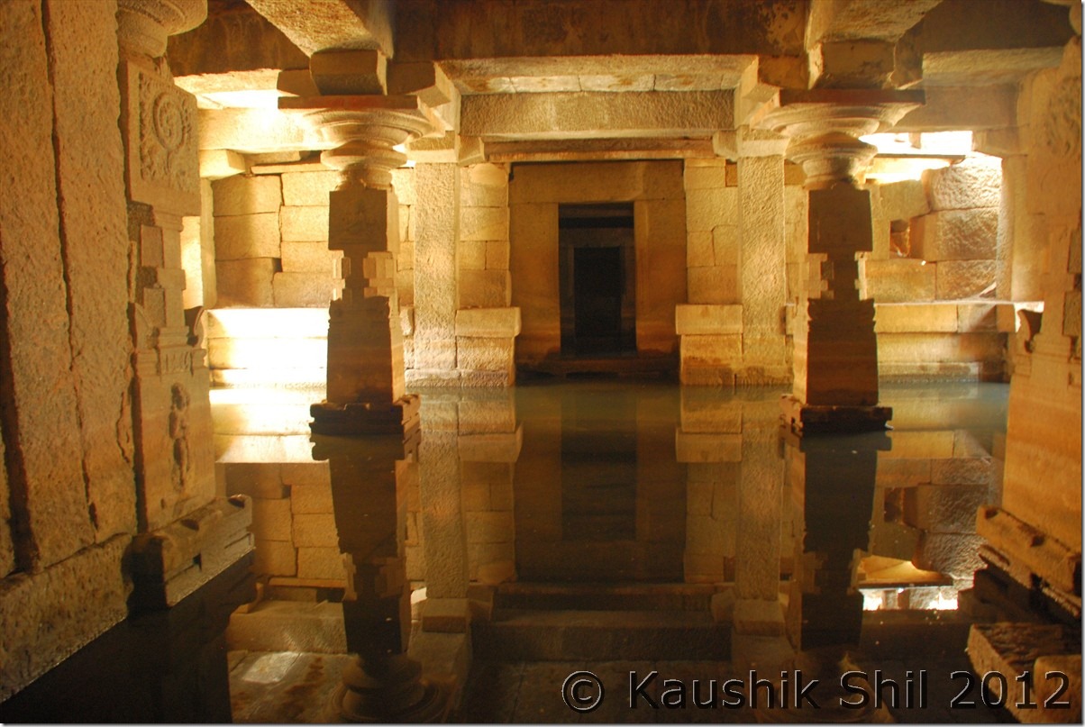
After Vittala Temple, we took our car to head straight towards the Sasive Kalu and Kadale Kalu Ganesha and from there to Birupaksha Temple. We came back retracing the same path to see Krishna Temple which again is a sign of spectacular architecture, Badavilinga, the monolithic Shiva Idol and then Lakshmi Narasimha which is spectacular too. We moved slowly towards Royal Center and saw Underground Temple and Hazara Rama Temple which again is a brilliant structure to see.

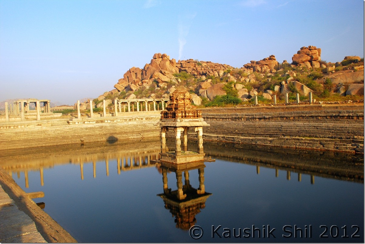
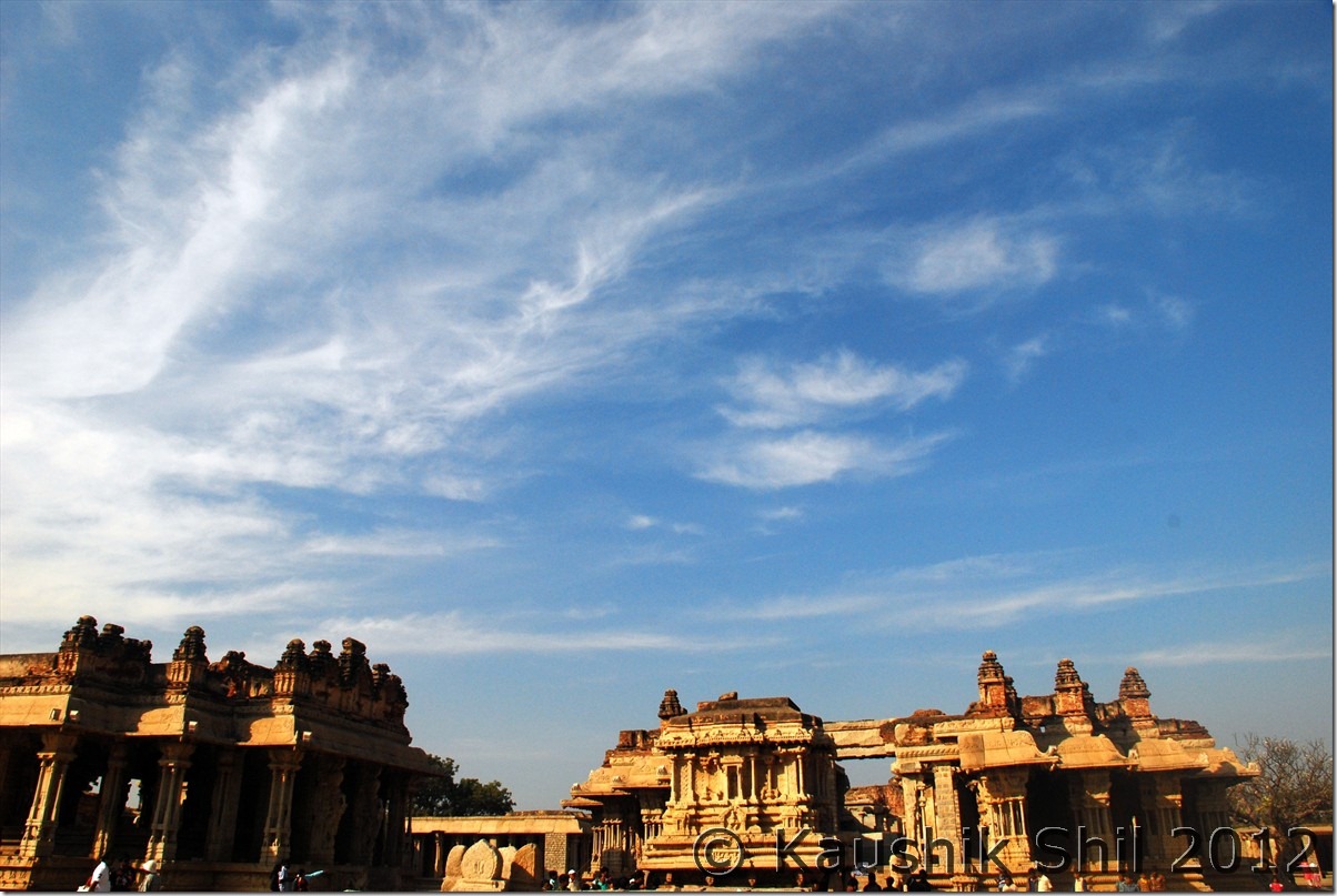
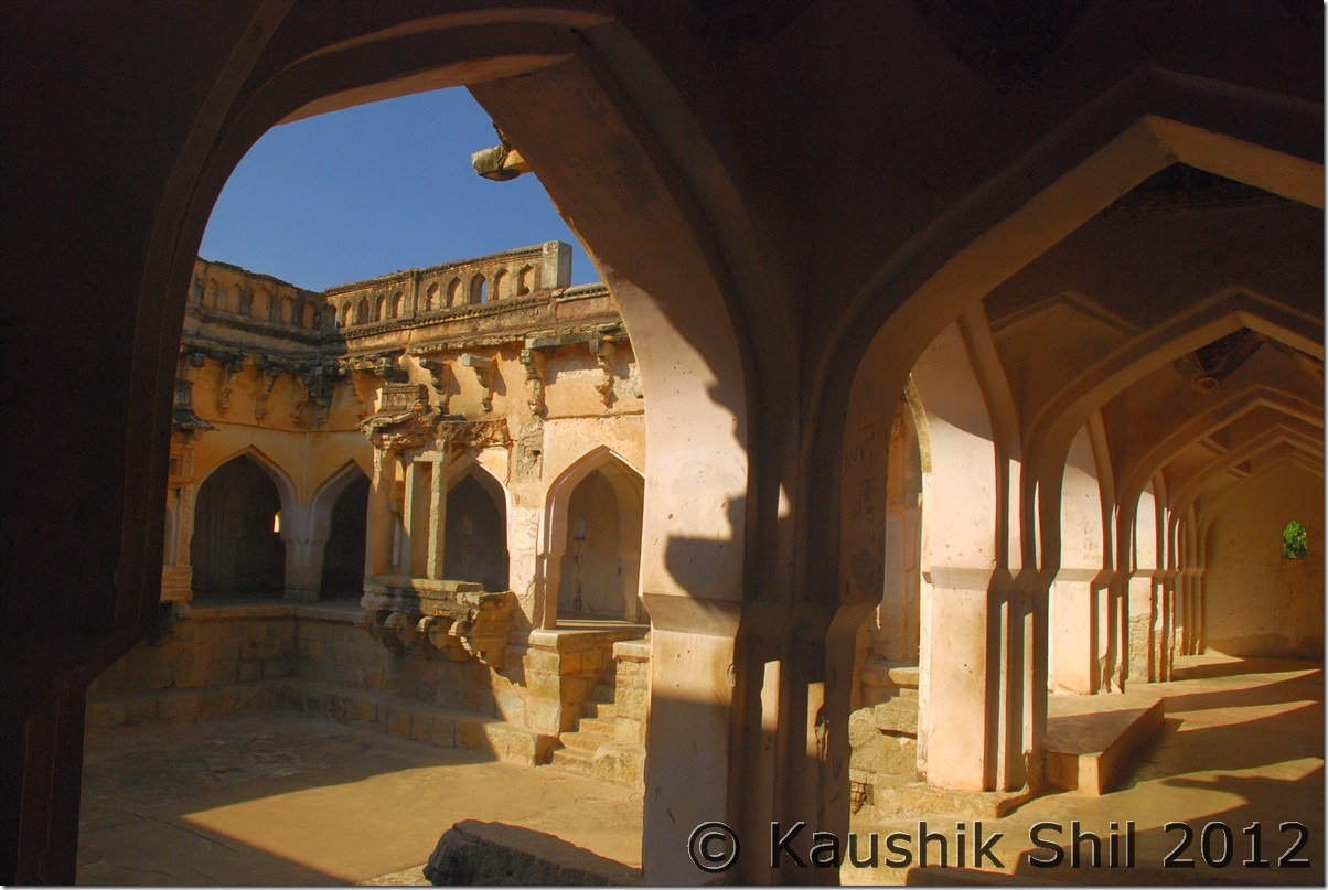
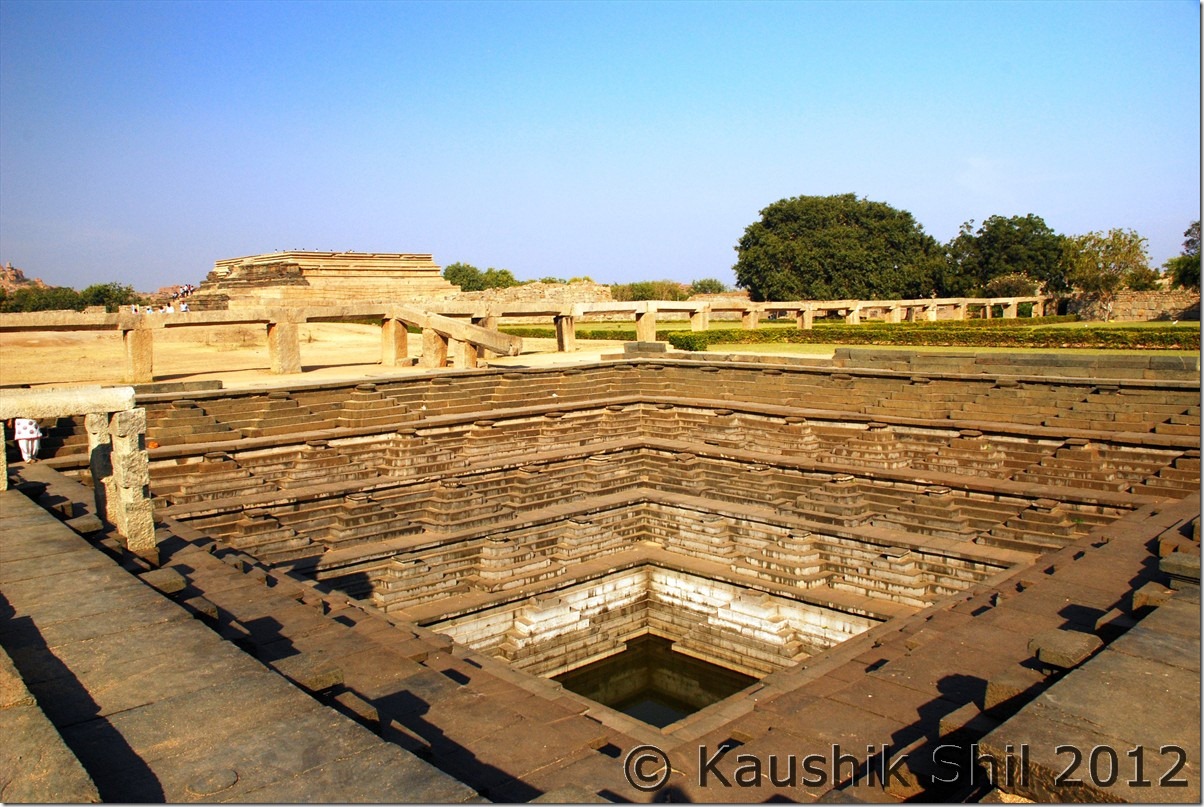
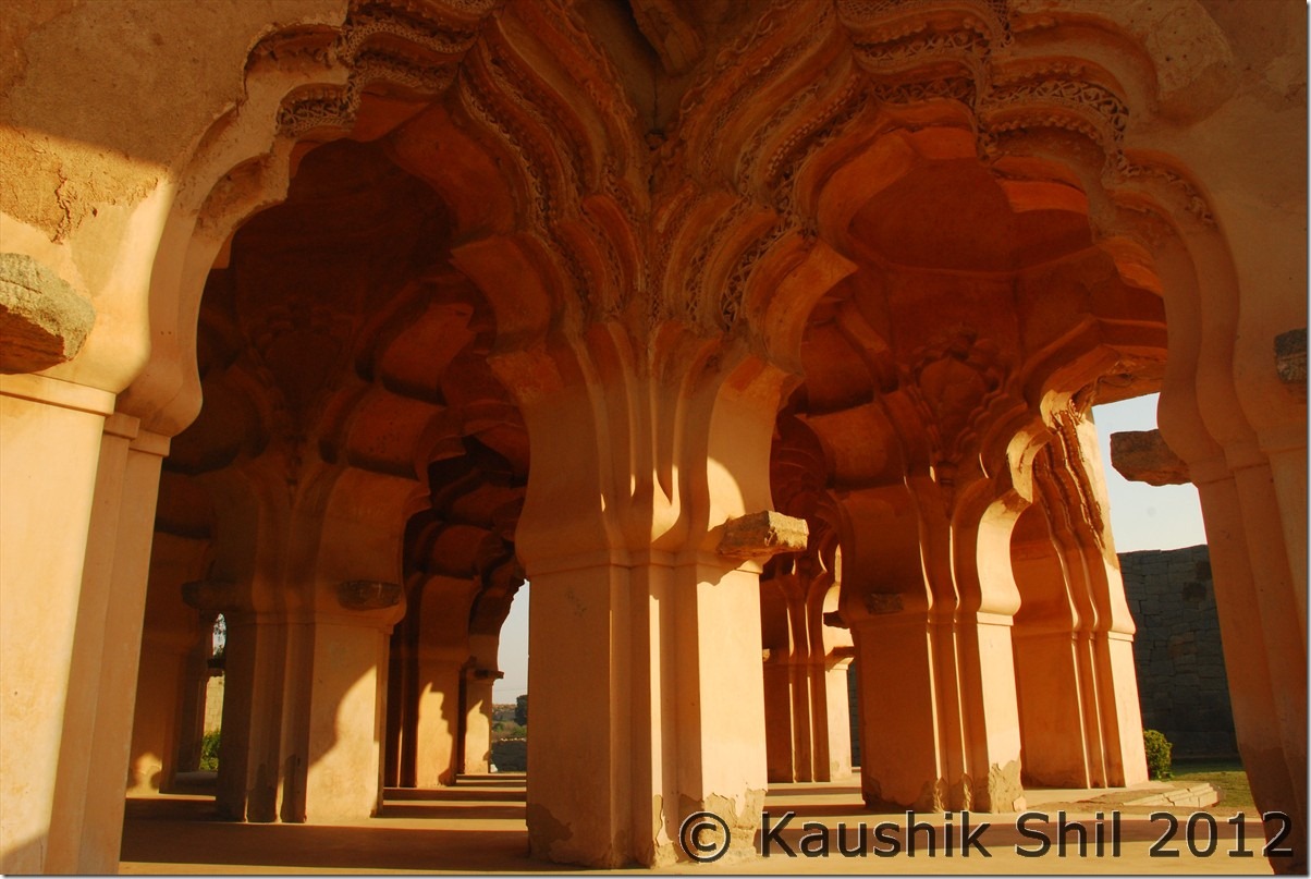
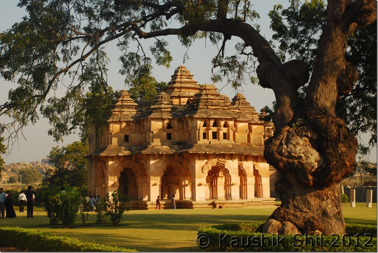
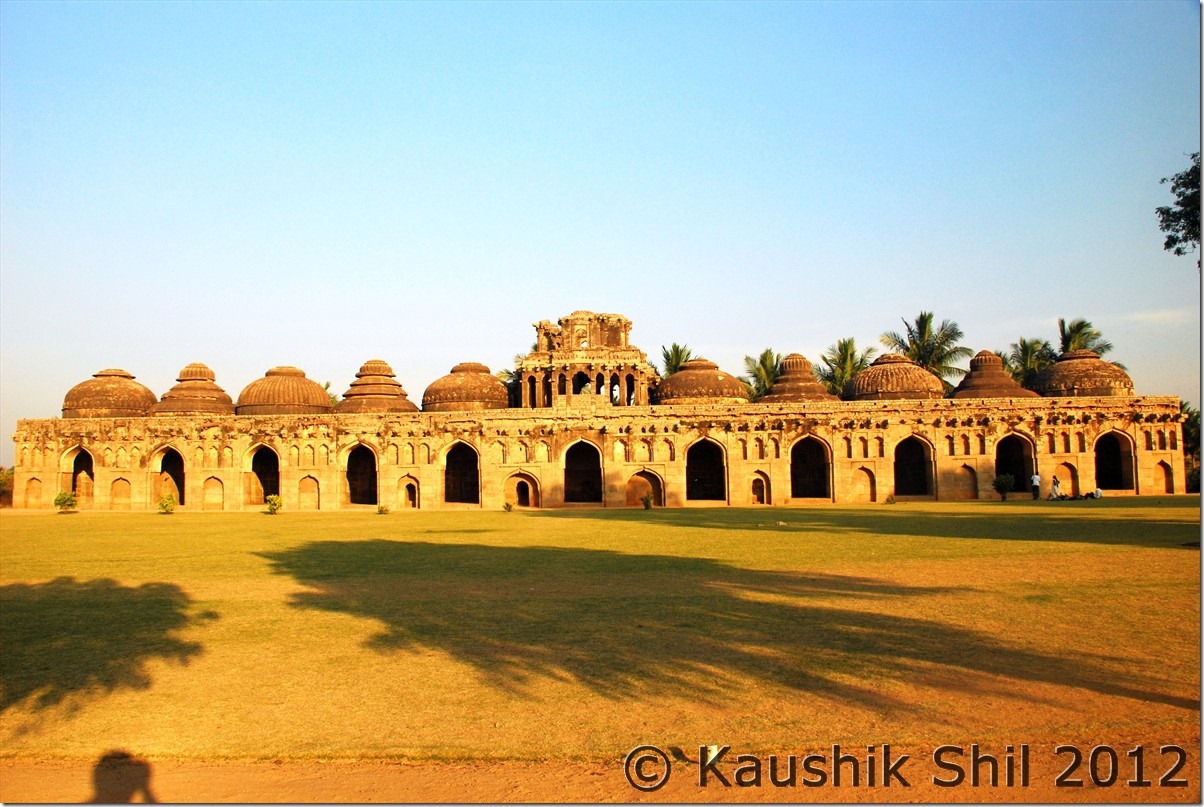
After lunch again started from Royal Center only to cover Octagonal Bath, Stepped Tank, Mahanavami Dibba, Queen’s Bath and slowly proceeded towards Zenana enclosure to see Lotus Mahal, Elephant Stables and finally headed to Hemkuta Hill for another brilliant sunset. This was the clearest day we had in Hampi and as usual the sunset was at its best on this day.

Vittala Temple Complex:

DSC_40322 DSC_40340

King’s Balance and Two storied Gateway:

DSC_40347 DSC_40359 DSC_40361

Vittala Temple:

DSC_40377 DSC_40411 DSC_40421 DSC_40429 DSC_40433

Kadale Kalu Ganesha:

DSC_40440

Virupaksha Temple:

DSC_40452

Krishna Temple:

DSC_40465

Opposite to Krishna Temple towards Matunga:

DSC_40473

Lakshmi Narasimha:

DSC_40474

Underground Temple:

DSC_40487

Hazara Rama Temple:

DSC_40498

DSC_40500

Octagonal Bath:

DSC_40511

Queen’s Bath:

DSC_40514

Stepped Tank:

DSC_40529

Lotus Mahal:

DSC_40549 DSC_40551

Elephant Stable:

DSC_50482

Sunset from Hemkuta Hills:

DSC_50495 DSC_50559 DSC_50562 DSC_50567

Previous: Karnataka – Hampi Part-1

Next: Hampi to Bangalore Airport/Contacts Info

Karnataka – Hampi Part-1

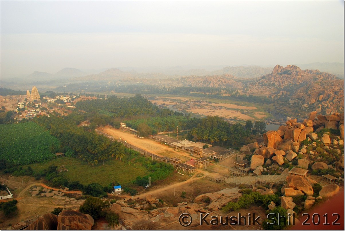
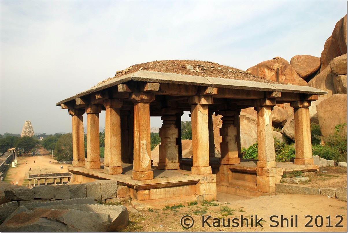
Day19

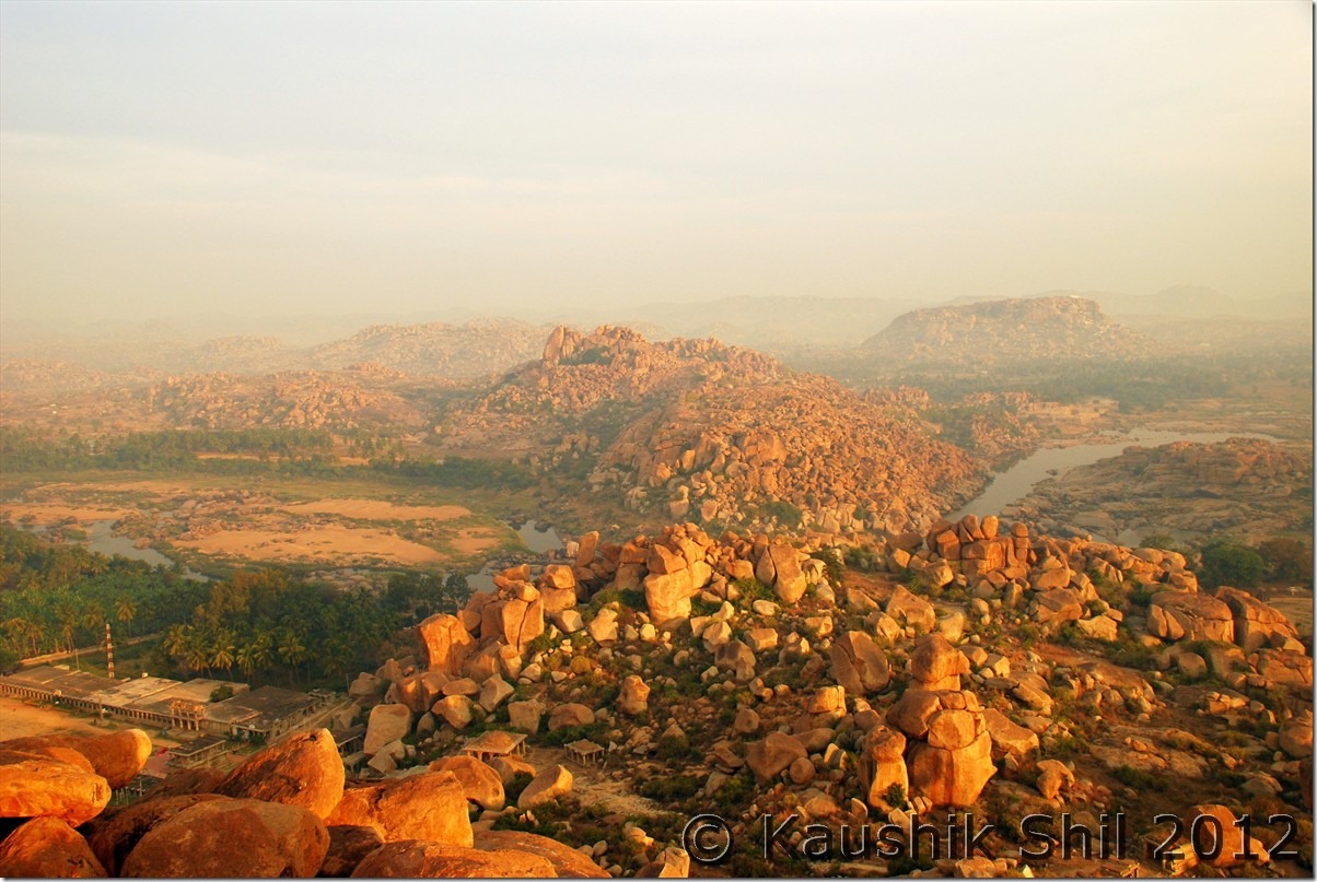
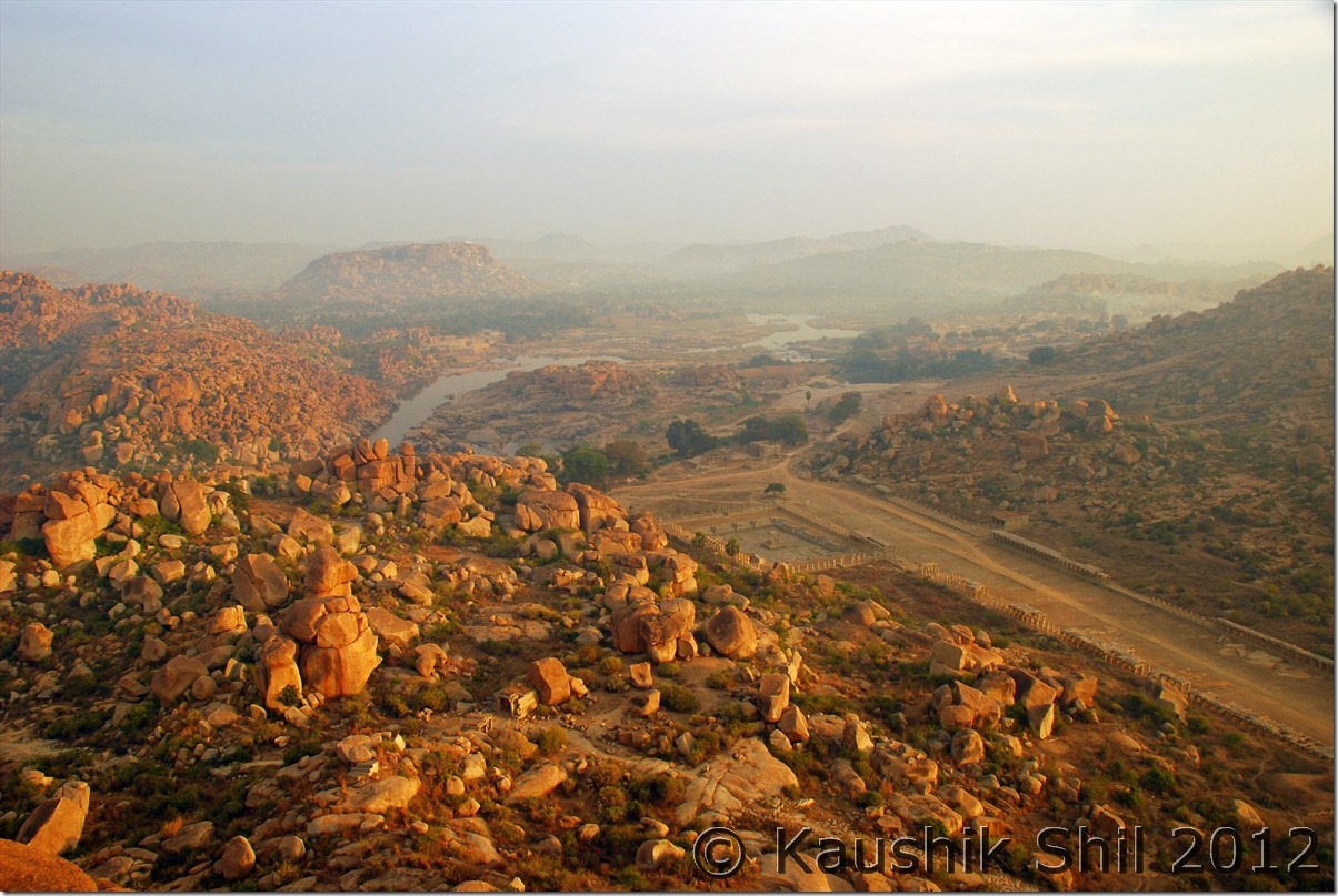
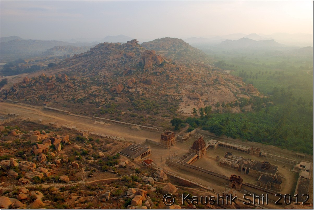
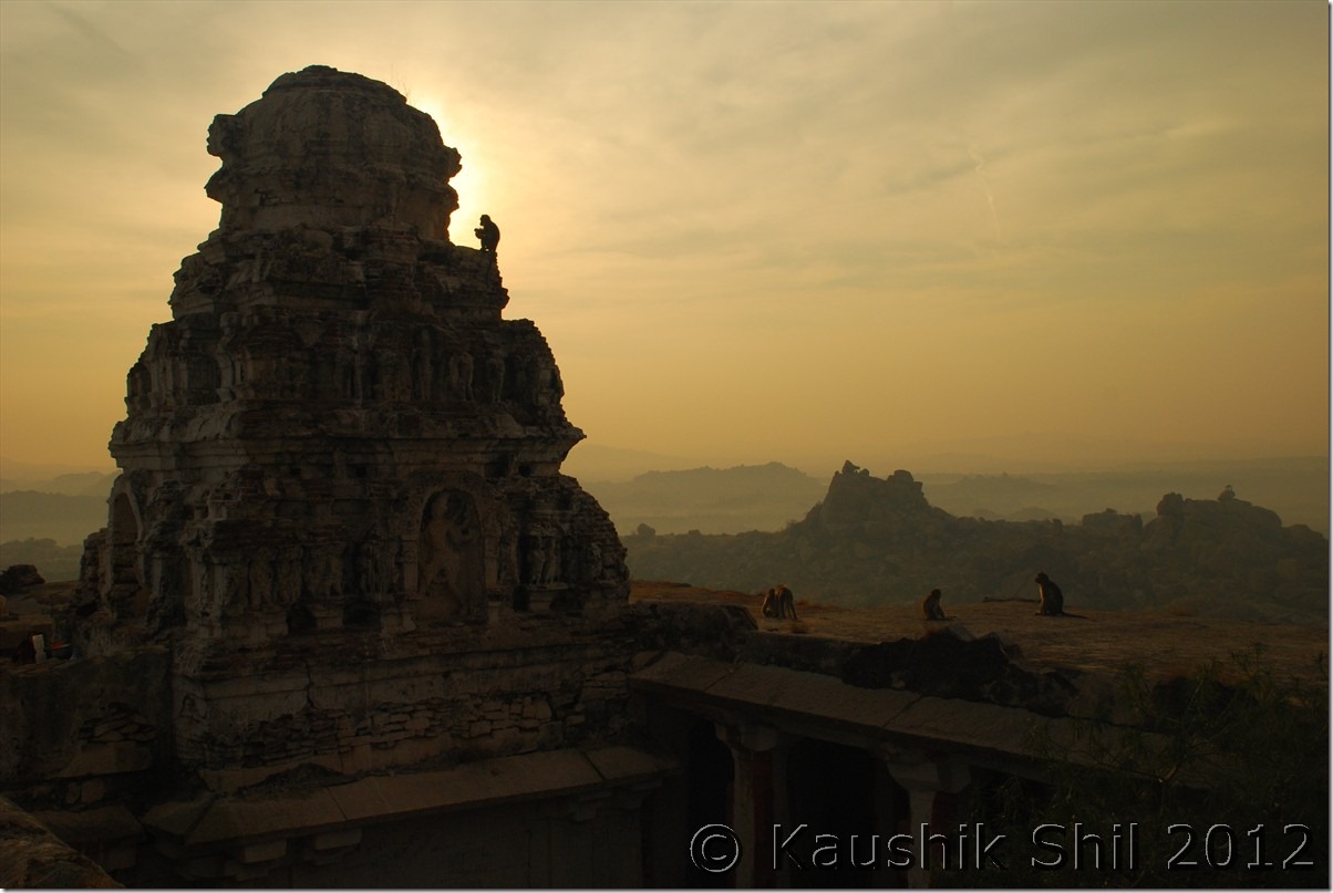
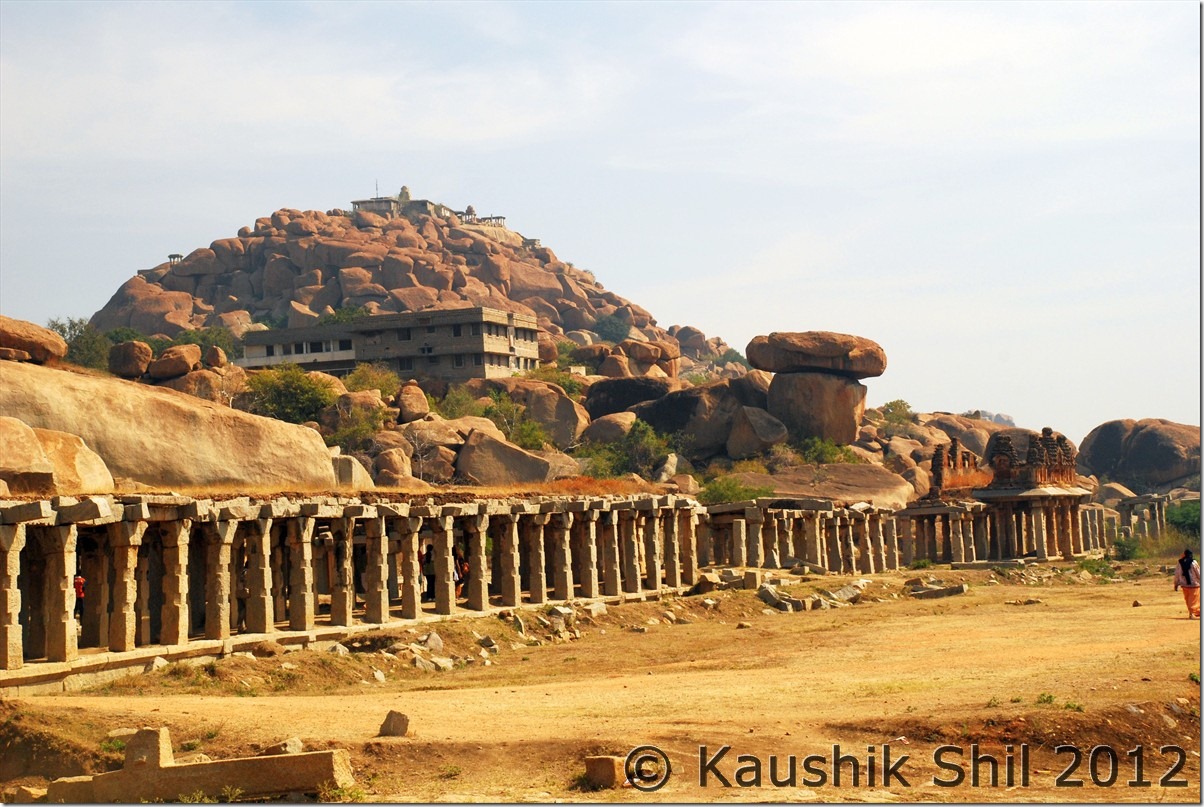
We started our day quite early and headed for Matunga hill for sunrise. Venkatesh created a major scene on that day which finally delayed us for half an hour and then we tried to take a shortcut through another temple and found the gate locked there, walls were too high to jump and finally we had to wait for gatekeeper to come and unlock. The route we took perceived to be easiest not at all seems to be comfortable to me at least where we had to negotiate at least couple of tricky places where a slight loss of balance can be fatal. Not sure how so easily people get up there or get down and how that’s possible in dark, i.e. before sunrise and after sunset. Anyway once again views from top would help you to forget everything. The views of Matunga are even better as you are almost in the middle of the ruins, Achyutaraya temple is down below in East, Tungabhadra river is at North, Birupaksha Temple is at North West, Krishna Temple at West and whole Royal center at South West. It’s a feeling like being frozen in time all around. Fortunately the morning fiasco helped us to getup the hill in daylight as we were delayed but due to clouds, the sun actually came up when we were at the top. Tea was sold at Rs. 30 at top, it was mostly foreigners there with only a few Indians around. We enjoyed the morning there for almost 45 mins before we again took the same pain to get down and finally headed to Hampi Bazar for a nice breakfast with puri.

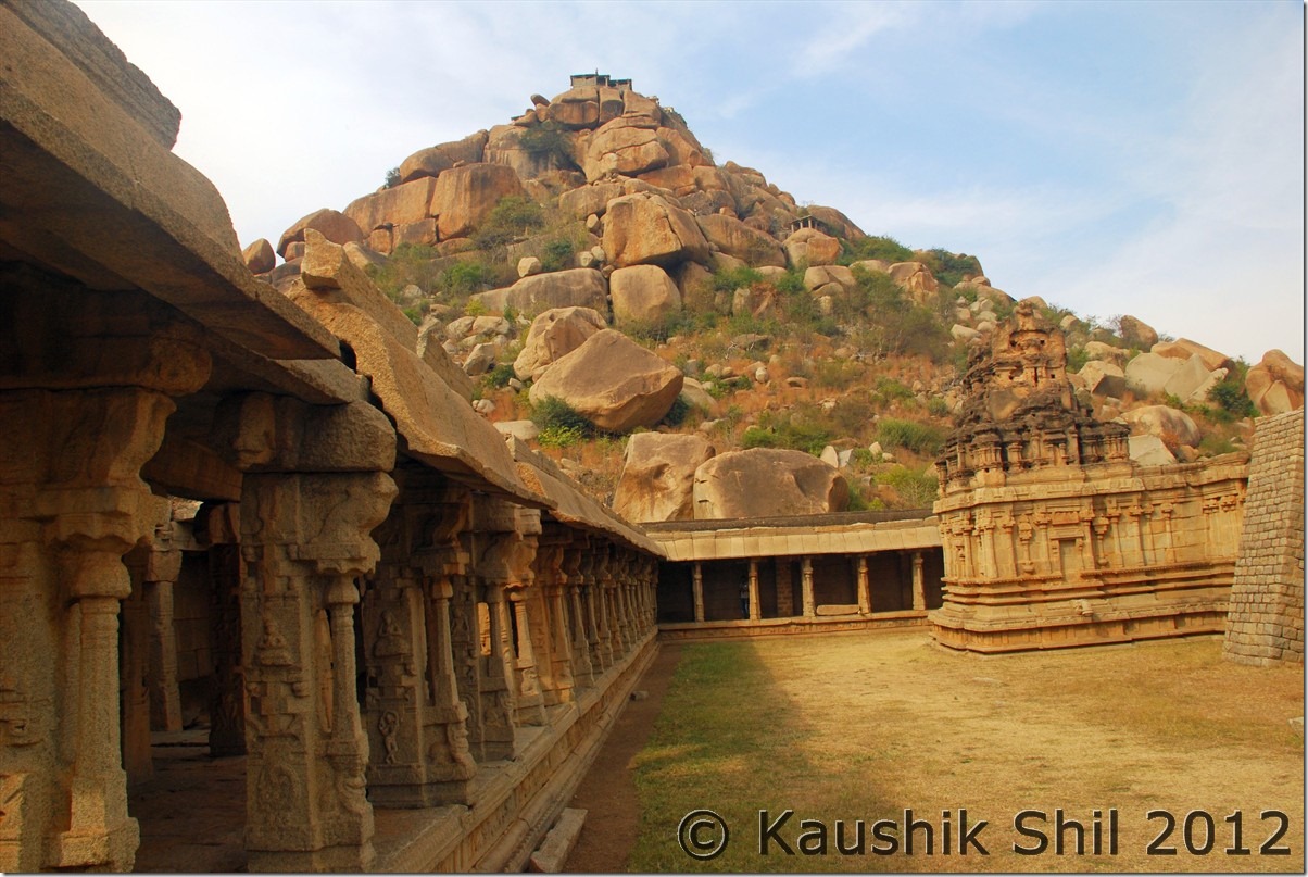
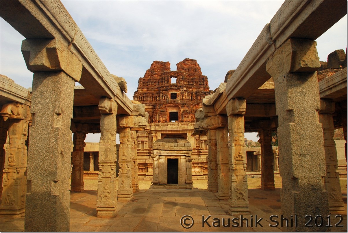
We started our visit to the Sacred centre from the Monolithic Bull – the Achutaraya – the Cartesian Road and to the kodandarama temple. From here we took a decision to take a coracle ride to the Vittala temple. It was an excellent decision though costly, cost 650 for 4 of us but the boatman took us to some nice places which otherwise difficult to access by foot. We walked back to Hampi Bazaar again and gone to hotel for food.

In the post lunch session we gone to Daroji Bear Sanctuary where we heard experiences of people watching bears but unfortunately we didn’t see any. My guess was we chose the wrong time, you should be there in the evening, the sanctuary remains open between 1.00pm to 6.00pm and we gone around 2.30 and was there till 4.00pm. The ideal time probably is between 4.00 pm to 6.00pm as I found JLR jeep entering in that time only. We had to rush as Mithun and Soumya had a train to catch from Gutti for Chennai on same night. They booked a car for that and finally started around 5.00pm from Hampi but later I heard they were just able to catch the train as the train was late for 20mins.

We continued our date with Hampi by visiting Bhima’s Gate and then finally heading for Malyavanta Hill for a sunset. The only hill in Hampi which is completely motorable but still very few people usually come here. Enjoyed a brilliant sunset as the day was clearer than the last day when we witnessed sunset from Hanuman Temple at Anegundi.

Car Odo Reading:

Kamalapur Local/ Hampi Sight Seeing / Daroji to and fro / Hospet To and Fro – Total km usage- 134

Sunrise from Matunga:

DSC_30988

Towards Cartesian Road:

DSC_30991

Achyutaraya Temple from Matunga:

DSC_31001

Sunrise behind the temple on Matunga Hill:

DSC_31006

Hampi Bazar and Birupaksha Temple from Matunga Hill:

DSC_31013

Near Monolithic Bull:

DSC_40037

Achyutaraya Temple:

DSC_40055 DSC_40062 DSC_40065

Cartesian Road:

DSC_40081

Ancient Bridge:

DSC_40165

Tungabhadra River:

DSC_40184 DSC_40186

Bhima’s Gate:

DSC_40203

Malyavanata Hill:

DSC_40218

Sunset from Malyavantha Hill:

DSC_40221 DSC_40234 DSC_40237 DSC_40254 DSC_40285 DSC_40288 DSC_40290 DSC_40299

Previous: Karnataka – Badami, Pattadakal, Aihole and way to Hampi

Next: Karnataka – Hampi Part-2
Karnataka – Badami, Pattadakal, Aihole and way to Hampi

Day17

Started our day and most eventful incident on this day was meeting with two travel crazy persons from Chennai, Mithun and Soumya. They are passionate travellers and once you travel with them you would enjoy every bit of it. My kid became very fond of these two new found uncles and had an excellent time too.

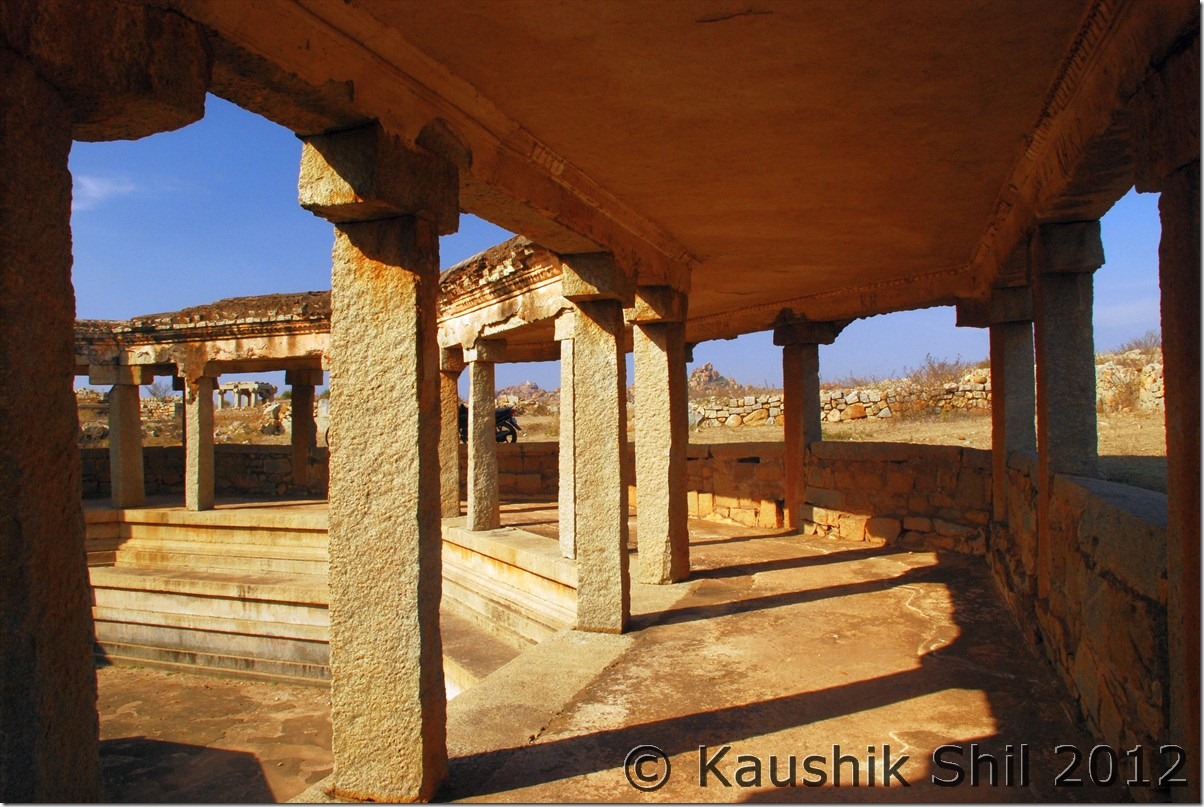
We started our day with Pattadakal and Aihole those amazed us by their architecture but again the crowd was a pure turn off. We had a lunch where we were so hungry started ordering with Rice, then ordered Roti, Puri, some Uttapam kind of stuff which we misjudged just because we were confused which would be served faster. Finally they served us all at one go and after lunch the guy came and asked if we wanted more, we were so full by then and not in a position to even answer that and the guy almost started laughing looking at us, little embarrassing but funny is that the guy kept smiling as long as we were there.

After a heavy lunch, we took a short break and then ventured to Badami Caves, which we knew would be better in evening light. Once again stuck in almost in a stampede with so many crowds and monkeys around. We visited all the caves and frustratingly waited for minutes together to take a shot without taking a person in frame but unfortunately no luck!! Lesson learnt, You shouldn’t visit Karnataka at least in December if you want it a little less crowded. We took some walks towards the other side of the lake and watched a nice sunset and finally had a wonderful “Adda” with Mithun, Soumya in the evening.

Car Odo Reading:

Badami – 45939
Aihole – 45984
Badami – 46024

On the way to Pattadakal:

DSC_30524 DSC_30525

Pattadakal:

DSC_30557 DSC_30560 DSC_30572
The temples of Aihole:

DSC_30645 DSC_30646 DSC_30661

The Cave Temples of Badami:

DSC_30705 DSC_30714

The other side as seen from Badami Cave:

DSC_30736 DSC_30746

Entry to the Cave Temple:

DSC_30757

Day18

We started our day late at 10.30 and planned to go to Banashankari temple, unfortunately again a large crowd forced us to change the plan and we proceeded towards Gajendragarh and then Kushtagi to enter NH13 on our way towards Hampi. We took a left turn to hit excellent and super scenic SH23 from Budugumpa and proceeds towards Gangawati where we had our lunch.

Next destination was Hanuman Temple at Anegundi. The 572 stairs up to the temple are definitely tiring but worth every effort. The amazing ruins of Hampi would be in front of your eyes once you are at top and you forget all the tiredness. We enjoyed a nice sunset from the top and then headed to Kamalapur via Gangawati – Kampli. The Kampli – Kamalapur road for first 10km was pathetic and we regretted our decision not taking the Anegundi – Hospet – Hampi route. Anegundi – Kamalapur is still not connected by a motorable bridge. There was a bridge that washed out a couple of years ago.
Our booking was there at KSTDC Bhuvaneshwari, where Semi Deluxe rooms are certainly too small for even a family with kid. We got feedback from Mithun, the rooms at Hampi Bazar were of much value for money but not sure if you can prebook them and prebooking probably be safer if you visit this at Christmas and with your family.

Car Odo Reading:

Badami – 46024
Gajendragarh – 46066
Kushtagi – 46092
Budugumpa (Turn Left) – 46138
Gangawati – 46165
Anegundi – 46185
Kampli – 46210
Kamalapur – 46231

The scenic SH23 towards Gangawati:

DSC_30813

Reflections:

DSC_30815

Sunset from Hanuman Temple Anegundi:

DSC_30896 DSC_30920 DSC_30921 DSC_30942 DSC_30967

Previous: Karnataka – Halebidu, Hornadu, Kudremukh, Srinigeri, Agumbe, Tirthahalli

Next: Karnataka – Hampi Part-1

Karnataka – Halebidu, Hornadu, Kudremukh, Srinigeri, Agumbe, Tirthahalli

Halebidu Temple:

DSC_30224 DSC_30279 DSC_30283 DSC_30292 DSC_30300

Day15

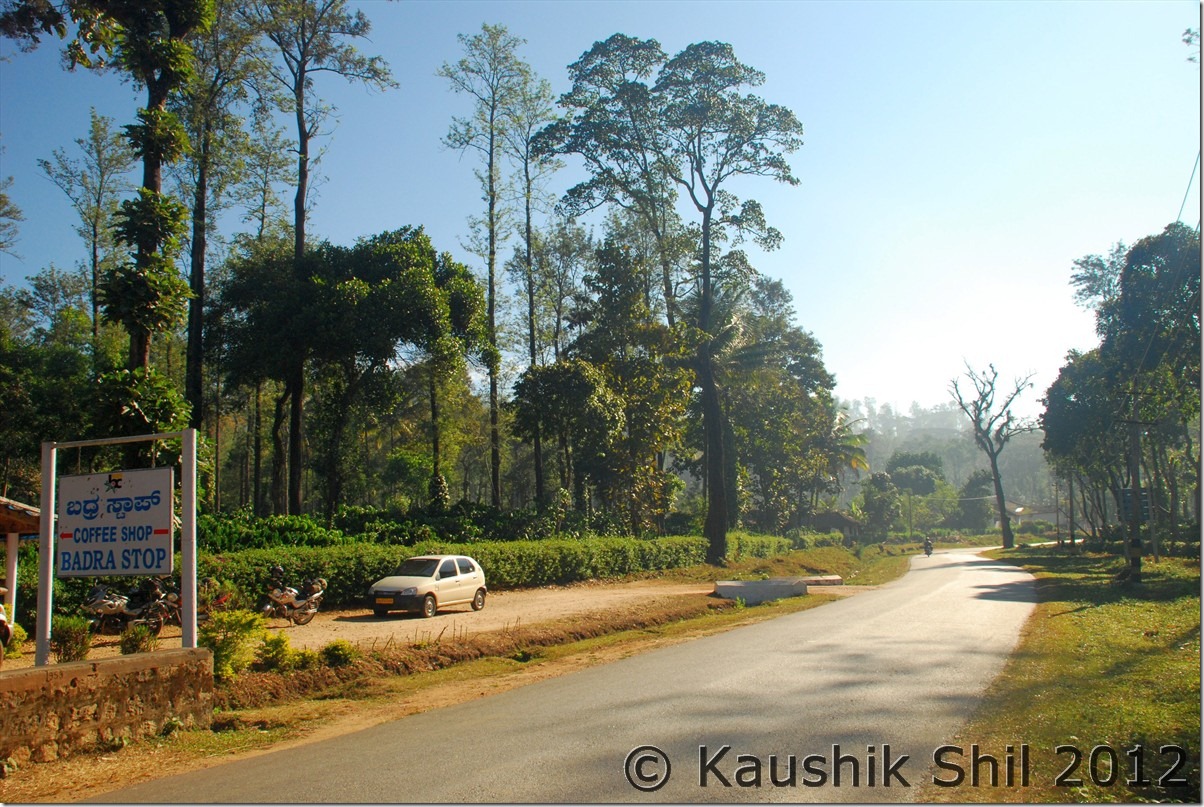
This was our longest and most difficult day in the whole plan and we started by 6.45 in morning just after sunrise. I discussed about the route to take with JP and HVK and finally based on all feedback we received, we took the longer route via Chikmagalur rather than taking Belur-Aldur straight road. Crossing Chikmagalur, we reached a place called Vastare from where we took a right again consciously to bypass mudigeri completely. We soon reached Aldur and after crossing Balehonnur we stopped for neer dosa at Bhadra Coffee Shop which was a nice place to have your breakfast with hot coffee. The road was ok type but very very scenic. After Balehonnur we took a left towards Magundi and crossing Balehole we turned right for Hornadu. The temple was at awesome scenic setting but like other South Indian Temples men have to remove their shirt to enter there. I had my darshan there and then turned towards Kalasa.

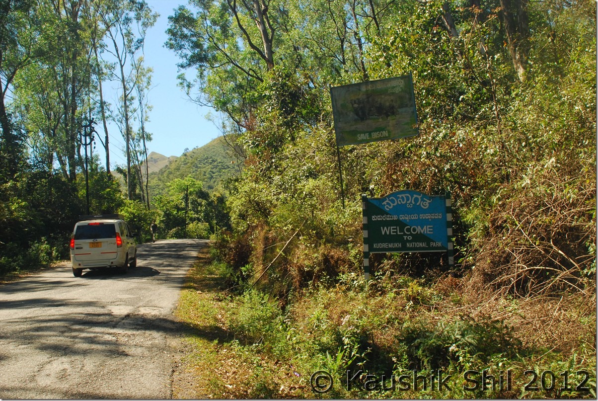
After crossing Kalasa we hit Kudremukh National park where a ban on mining iron ore by Supreme Court has turned this KIOCL township into a ghost town. But the whole drive till SK Border was amazing through lush green forests, many birds around and the beautiful mountains towering all around. If you have time you can quickly visit Hanumangundi Falls too. From SK Border we turned right towards Srinigeri and as we were informed the road turned quite bad. Some 20km of very bad roads and 10km of ok roads would take you to Srinigeri. In Kudremukh once you enter, you have to cross the forest check gates in other sides (One in Kudremukh side through which we entered, one each in two forks of Y in other side, at Srinigeri and at Karkala side) by 1 hours 30min unless you visit Hanumangundi falls which allows you an hour extra to cross the stretch. This is a stretch must visit for any one who loves driving in forest road.

Srinigeri temple was nicely located beside the left bank of Tunga river and we were surprised by the number of fish one can spot on standing at the river bank there. The temple reopened at 3.30, we had our darshan and moved towards Agumbe which was a nice road anyway.

Agumbe is a famous hill station and rain forest having King Cobra sanctuary. We went to the sunset view point which is some 2 km beyond the town, enjoyed a magical sunset from top of Agumbe which is nothing but on top of western ghats to see sun going down in the planes below.

We started our last phase of journey towards Tirthahally, which is hidden treasure of Malnad beauty and the Vihangama resort where we booked our stay found to be an awesome place to chill out. The food, accommodation, service and the resort as such was really wonderful and it was affordable too.

Car Odo Reading:

Belur – 45249
Chikmagalur – 45275
Vastare (Turn Right) – 45286
Aldur – 45295
Balehonnur – 45328
Magundi – 45339
Balehole – 45352
Hornadu – 45369
Kalasa – 45377
Kudremukh – 45390
Hanumangundi Falls – 45418
SK Border – 45421
Srinigeri – 45452
Agumbe – 45482
Tirthahalli – 45517
Vihangama Resort – 45522

Badra Coffee shop:

DSC_30343

On the way to Hornadu:

DSC_30353

Hornadu Temple:

DSC_30366

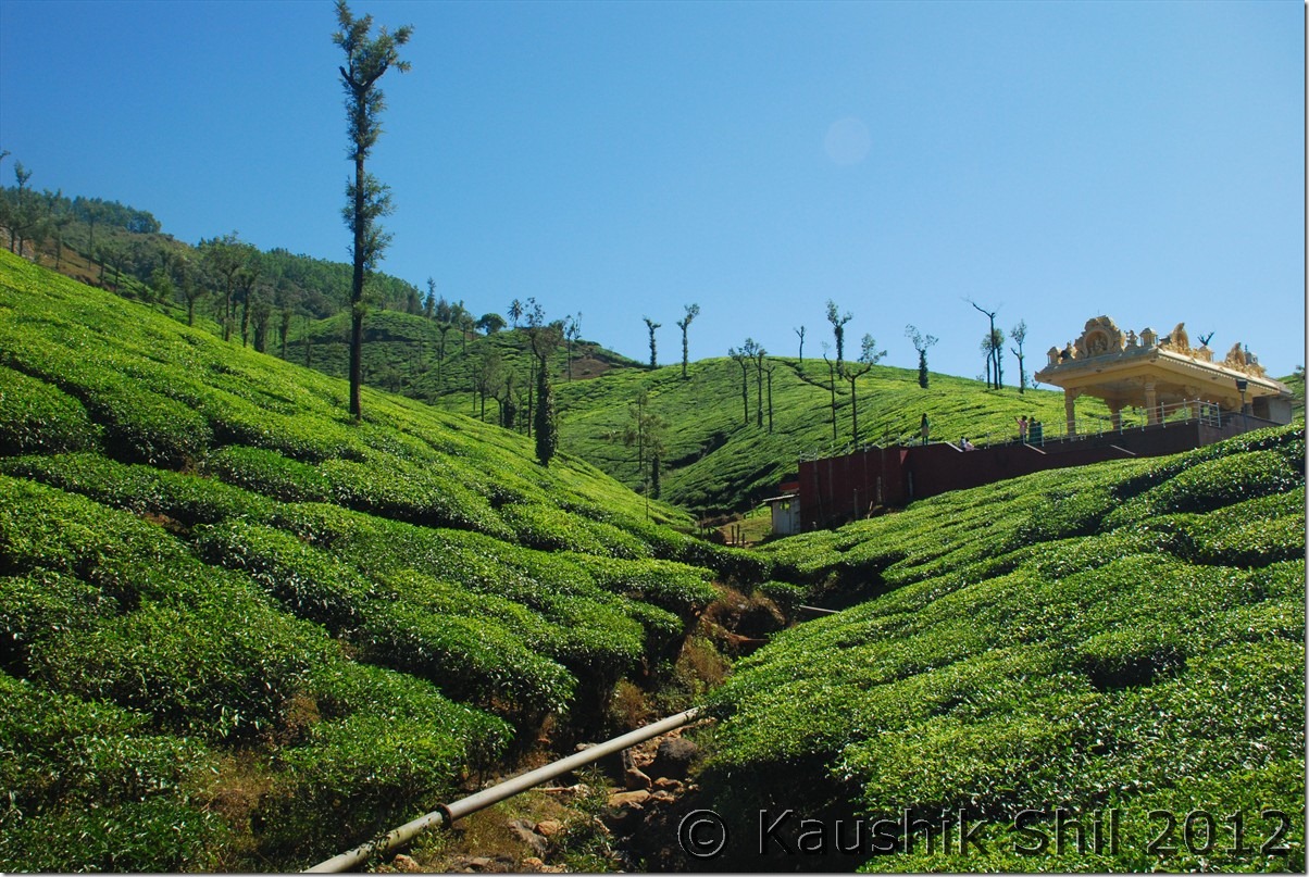
Tea garden enroute Kudremukh:

DSC_30369

Entering Kudremukh National Park:

DSC_30378

Driving through Kudremukh National Park:

DSC_30388 DSC_30391

Srinigeri Temple:

DSC_30400

Sunset at Agumbe:

DSC_30422 DSC_30436

Day16

In the morning we roamed around the resort, chilled out in the nice river beach adjacent to the resort, witnessed the mists kissing the river flowing silently to have a wonderful start of the day. Today primarily was a driving day when we moved out of Malnad and headed towards Badami at Northern Karnataka. Once again it’s the knowledge of HVK that came extremely handy in choosing the route.

We took Tirthahally – Shimoga – Honnali – Harihar (Entering NH4) – Ranebanneur – Haveri – Hubli (Leaving NH4) – (Entering NH218) – Navalgund – Nargund – Kulgeri Cross and taking right to Badami. The NH4 was superb 4 lane highway. NH218 was 2 lane but extremely smooth and the rest part of road was good too.

We covered 440 km in 8 hours flat. We booked at Maurya Chalukya, a KSTDC Hotel there at Badami where again we found rooms quite good but absolutely no service. My kid was unwell with some stomach upset and that caused us a delayed arrival here.

Car Odo Reading:

Vihangama Resort – 45550
Shimoga – 45611
Honnali – 45656
Harihar – 45694
Haveri – 45750
Hubli – 45828
Navalgund – 45870
Nargund – 45893
Kulgiri Cross – 45918 (Take right to Badami)
Badami – 45939

Mist on the river at Tirthahally:

DSC_30457 DSC_30459

The nice river beach adjacent to the resort:

DSC_30463

The resort:

DSC_30469 DSC_30470 DSC_30474

Sun setting on the way to Badami:

DSC_30494 DSC_30520

Previous: Karnataka – Kemmanagundi, Mulayanagiri, Belur

Next: Karnataka – Badami, Pattadakal, Aihole and way to Hampi

Karnataka – Kemmanagundi, Mulayanagiri, Belur

Day13

We started our day lazily after an excellent morning boat ride at Bhadra Reservoir and breakfast. We had driven towards Tarikere to take Chikmagalur route and then at Lingdahalli took a right diversion to take the beautiful ghat roads of Chikmagalur and Bababudan giri hills. Enroute you would find Kalahati falls which is nice and then the nice hill station of Kemmanagundi, which is a must stay. It’s setting is awe inspiring but the accommodation are difficult to get as the only options of horticultural dept’s bungalows being renovated this year.

This is a nice hill station with colorful mountains with various shades of green all around. A Hebbe Falls trip from here and some treks to Z points are a must do for the people who have the time. We couldn’t visit those and kept continuing our drive. The road became the worst in our whole journey and Xylo was going at 10kmph but the whole pain of taking such a road was worth every bit when you look around. I have seen some most amazing landscapes of colorful grasses of all shades starting from green, yellow, orange and red and the mountains in the backdrop. The scenery is simply jaw dropping and we were mesmerized with the awe inspiring landscapes all around.

Continued our journey to Baba Budangiri and Mulayanagiri and these places are nothing special comparing to the beauty of this whole road, we were in a dilemma if we should take this road as we knew the road is in pretty bad shape but didn’t regret the decision once we covered it. The sunset from Mulayangiri an experience to remember with stunning views of the surrounding lake-rich coffee country and the weird shaped mountains with thousands shades of green touching the colorful sky at the backdrop.

We continued our journey through Chikmagalur to Belur and we stayed at KSTDC, Velapuri which is a nice and extremely good value for money hotel but again without any service.

Car Odo Reading:

JLR Bhadra – 45060
Tarikere – 45083
Lingdahalli – 45098
Kalahati Falls- 45108
Kemmanagundi – 45121
Mulayanagiri – 45165
Chikmagalur – 45185
Belur – 45214

Kalahati Falls:

DSC_30008

Kemmanagundi – Chikmagalur – The most scenic road I experienced in Karnataka:

DSC_30016 DSC_30042 DSC_30058 DSC_30065

The beauty continues along the road to Mulayanagiri:

DSC_30069 DSC_30072 DSC_30080 DSC_30081 DSC_30083

The sunset from Mulayanagiri:

DSC_30118 DSC_30120 DSC_30122 DSC_30124 DSC_30145

Day14

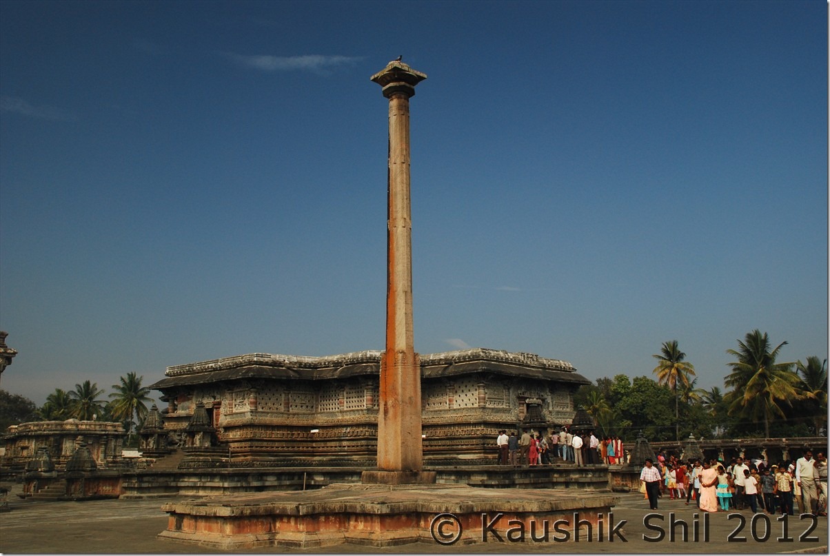
This day was reserved for enjoying Hoysala art of Belur and Halebidu. Both are awesome, to me Halebidu was more impressive especially the western walls but what I understood from the guide was that Belur was the completed temple where as Halebidu was incomplete. The Hoysala architecture and their work with stones some 600 years back is simply amazing. The best time to visit them to avoid crowds and for better photo opportunities are in early morning or evening, though evenings are certainly crowded. Again I found spiritual activities are performed inside the temple which I certainly don’t like in an archeological monument of this stature. The way they depict the Ramayana stories or the events of that age on stone would make you speechless, an amazing fusion between art and engineering. If you can spend some time, I would recommend to take a guide (charge Rs. 200) and that would make the visit more meaningful.

Car Odo Reading:

Belur – 45214
Halebidu – 45232
Belur – 45249

Belur Temple:DSC_30159 DSC_30164 DSC_30172 DSC_30173 DSC_30219

Previous: Karnataka – Kumta, Gokarn, Bhadra Wild Life Sanctuary

Next: Karnataka – Halebidu, Hornadu, Kudremukh, Srinigeri, Agumbe, Tirthahalli

Karnataka – Kumta, Gokarn, Bhadra Wild Life Sanctuary

Fishermen’s village at Kumta:

DSC_20260

Kumta Beach – isolated and serene:

DSC_20292

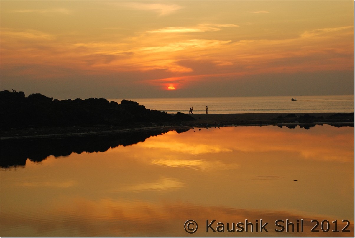
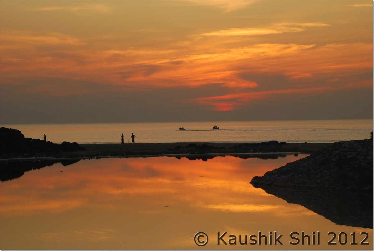
Sunset at Gokarna:

DSC_20315

India really eats cricket and sleeps cricket: a nice cricketing shot in the backdrop of setting sun:

DSC_20318 DSC_20322

Day11

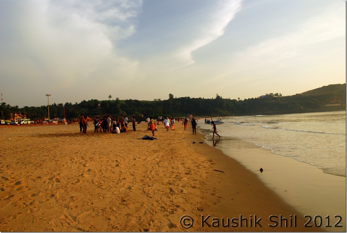
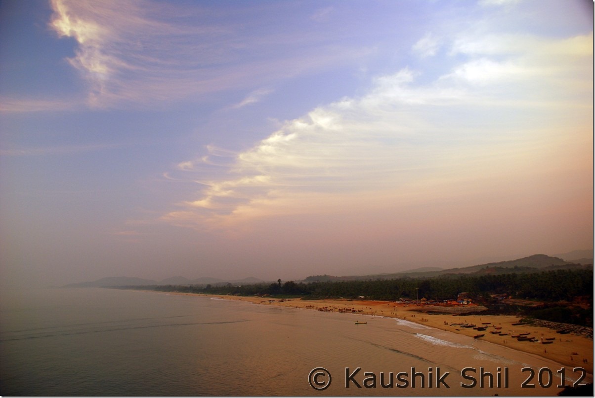
Gokarna, a place that is so full of old world charm, mythology and temples that is it difficult to fathom its unsavoury reputation as a haven for unruly people, junkies and drugs. Legend has it that Shiva emerged from a cow’s ear to save his devotees. Whatever the myth may be, Gokarna does have an appeal that is all its own, which comes from the ancient temple, the busy market streets selling brass lamps, bells, ornaments and little statues, and the beach, where sea-gazing in the changing light is considered to be the best pastime. The rocky terrain and turtle shaped rocks in the sea enhance the setting.

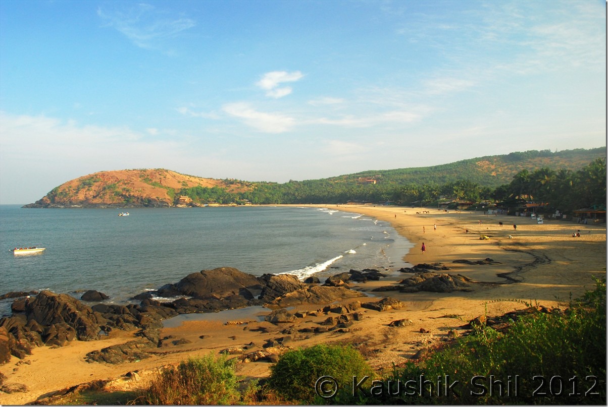
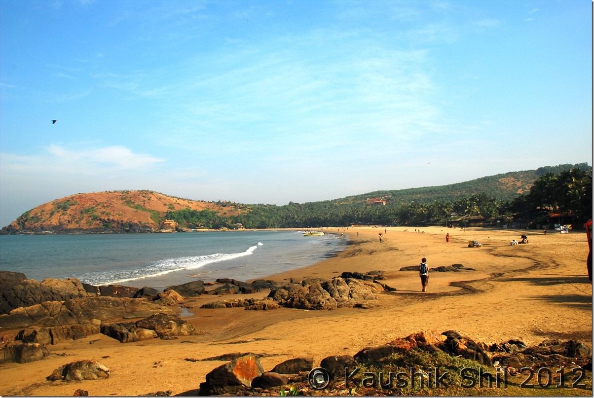
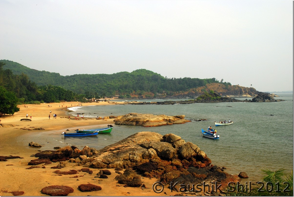
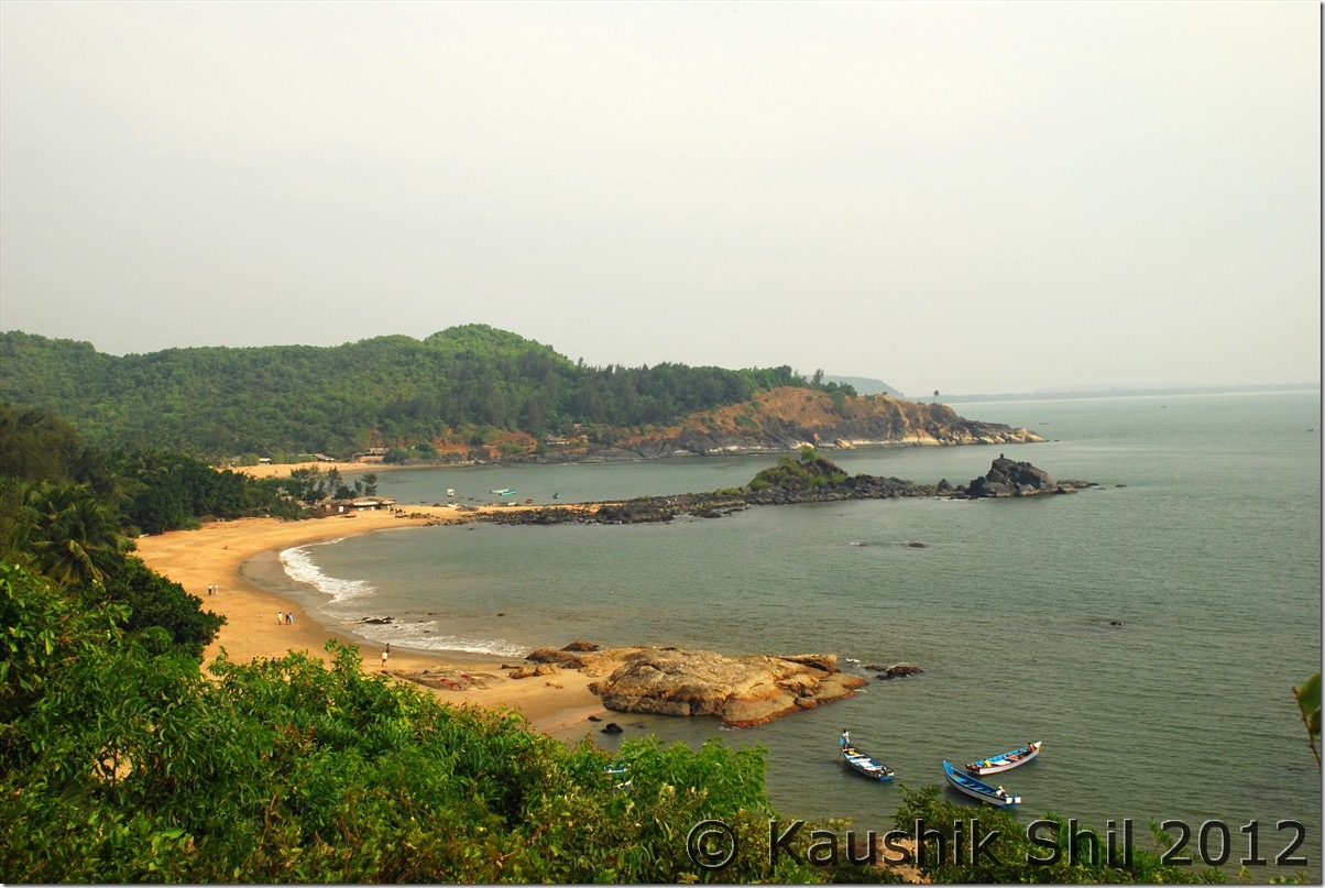
There are five beaches altogether, Gokarna beach is the longest on the northern side with lots of crowds and always buzzing with activities, Kudle, OM, Half Moon Bay and Paradise are 4 other more pristine beaches from North to South. You have to walk a little but mostly car can take you to Kudle and more famous OM beach but for Paradise and Half Moon Bay, you have no option than to do an adventurous trek or may take boats to visit them depending on ocean tides. We ventured in all 4, took boats for some part of it and after much bargain got it for Rs.600 for 4 of us for a round trip from OM to Half Moon and Paradise. These beaches are awesome and you would be completely isolated from outside world.

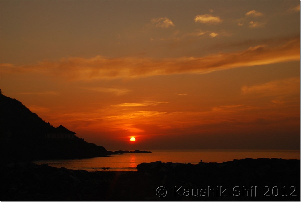
The temperature was scorching, when people were dying in cold waves in North, we were fried in temperature of 36 degrees at the end of December which was incidentally the highest temperature recorded in the country for that day. Not sure if this region is that hot in December or this year was an exception. Namaste Cafe was brilliant, especially its restaurant, I would surely stay here if ever I revisit Gokarna. Only issue, they usually don’t take advance booking especially in the seasons of December and January, you have to go and try your luck. But it’s a must stay for anyone, sipping beers sitting at their beach restaurant soothing your ears with light music and watching the ocean relentlessly breaking its waves below you is something to experience.

This ends our coastal circuit, from one end to the other, Karnataka’s coastline is an undulating continuation, hiding remarkably azure waters fringed by golden sands, overlooked by thick groves of coconut and trees or better still, the giant, towering range of the Western Ghats. There’s breathtaking scenery, there are places to see, Sea waves playing orchestra for you, food for thought and for the stomach, adventure and water sports, a million things to do, see, feel – a perfect getaway to relax, rejuvenate and recharge.

Car Odo Reading:

Gokarna – 45772
OM Beach – 45782
Gokarna – 45791

Kudle Beach:

DSC_20327 DSC_20340

Half Moon Beach:

DSC_20360

Paradise Beach:

DSC_20381 DSC_20395

Beach shacks at OM Beach:

DSC_20420

Famous OM Beach:

DSC_20437 DSC_20443

Gokarna Beach always busy with activities:

DSC_20450

Awesome sunset at Gokarna in the backdrop of Western Ghats:

DSC_20478

Day12

We headed back to Malnad region by retracing back till Kumta and then taking lesser known SH48 towards Siddapur and the Ghat section in this road was under dense rain forest and amazingly beautiful to express in words. At Ondane, the forest region ends and we took a right turn towards Mensa and there by bypassing Siddapur, we reached Jog Falls by 2 hours 30 mins after starting from Gokarna. The route was nice and had almost no traffic.

Jog was a big upset, the four parts of the falls, Raja/Rani/Roarer/Rocket all were in extremely poor shape and probably that’s what it should be in December, we were warned by many but then again the more disappointing than the falls were the huge crowds that were present even as early as 9.00am on a weekday.

We moved out quickly, continue via NH206 to cross Sagar and Shimoga and finally took a right towards Lakkavalli. JLR River Tern was our destination and like most JLRs they are professional and after a quick check-in and lunch, we proceeded for a forest safari, which was a mistake we made, you should take boats in evening and take jeep safari on the following morning. Reason is in evening you can witness a memorable sunset on Bhadra lake where as in morning there is more chance to spot an animal which anyway now is a little difficult there as a lot of road work and forest restoration work is in progress and the disturbances by big earth movers have driven the animals away into the other side of the forest. But River Tern is a nice place to unwind, an excellent place to spend a lazy day.

Car Odo Reading:

Gokarna – 45791
Cut for SH48 for Siddapur from Kumta – 45823
Turn right at Ondane – 45877
Mensa (meets Siddapur-Jog Road) – 45898
Jog Falls – 45907
Shimoga – 46020
Lakkavalli (River Tern) – 46049

Bhadra Reservoir from Cottage:

DSC_20497

Sunset at Bhadra:

DSC_20544

Morning at Bhadra Reservoir:

DSC_20552

River Tern cottages from Bhadra Reservoir:

DSC_20570

Previous: Karnataka – Pristine Beaches Kaup, St. Mary Island, Maravanthe, Baindoor, Murudheshwar

Next: Karnataka – Kemmanagundi, Mulayanagiri, Belur

Karnataka – Pristine Beaches Kaup, St. Mary Island, Maravanthe, Baindoor, Murudheshwar

Day9

The 300 odd km of coastline from Mangalore to Karwar has plenty of scenic and breathtaking beaches, along with equally famous towns in between. In fact, Karnataka’s coastline is probably India’s best shoreline. Untouched beaches, uncluttered, crisp golden sands sandwiched between lush green coconut trees and undulated rocks and blue water that lovingly meets the land – a true delight for every traveller yet probably the best kept tourist secret in the state. If you are a beach lover, beach hopping across Karnataka is a must for you.

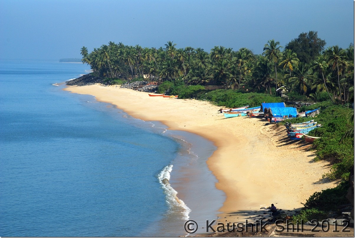
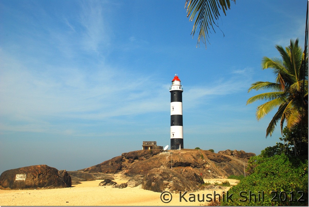
We started early and it was a Sunday, so roads were relatively less crowded compared to regular traffic around Mangalore. Just before Suratkal, we stopped for breakfast. Drove past the REC Suratkal (Now NIT) and our target was Kaup. I have shortlisted a few places as exploring all the beaches of Karnataka might be a one full week’s itinerary and unfortunately we didn’t have that much time. Kaup is infamous for its strong waves and rough seas and swimming or any kind of water activity in this beach was not recommended, but it will touch you with it’s rocky terrain and lovely golden sands. The lighthouse is a place to visit but unfortunately it only opens between 4 to 6 pm, so if you have time, plan for watching a memorable sunset from top of the light house.

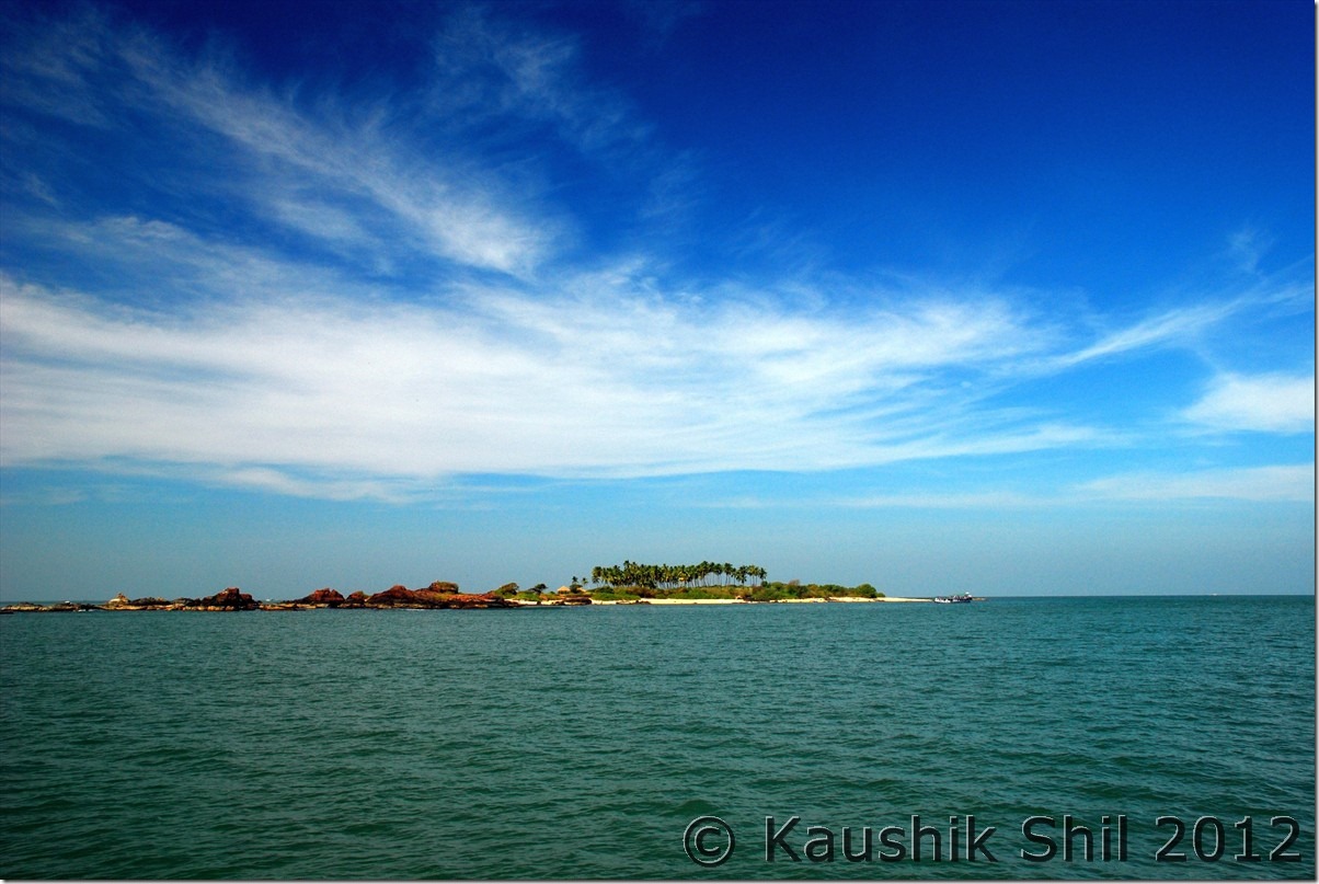
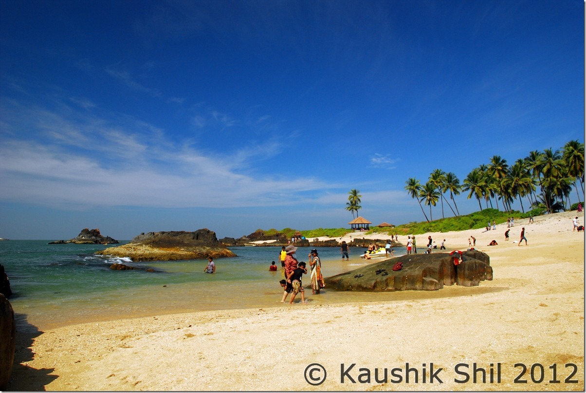
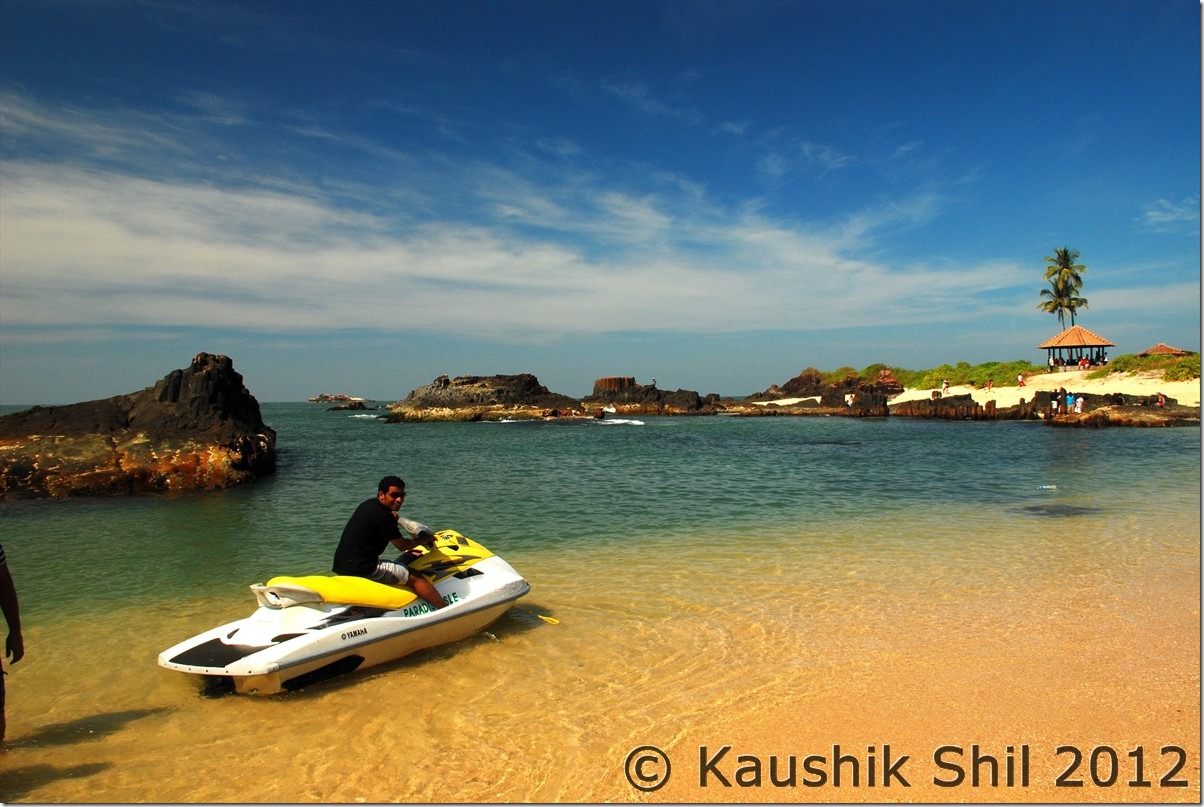
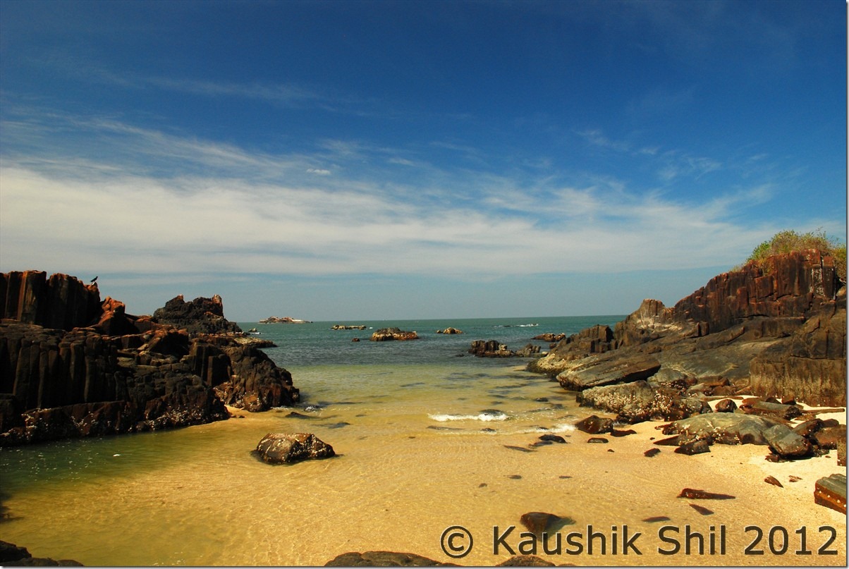
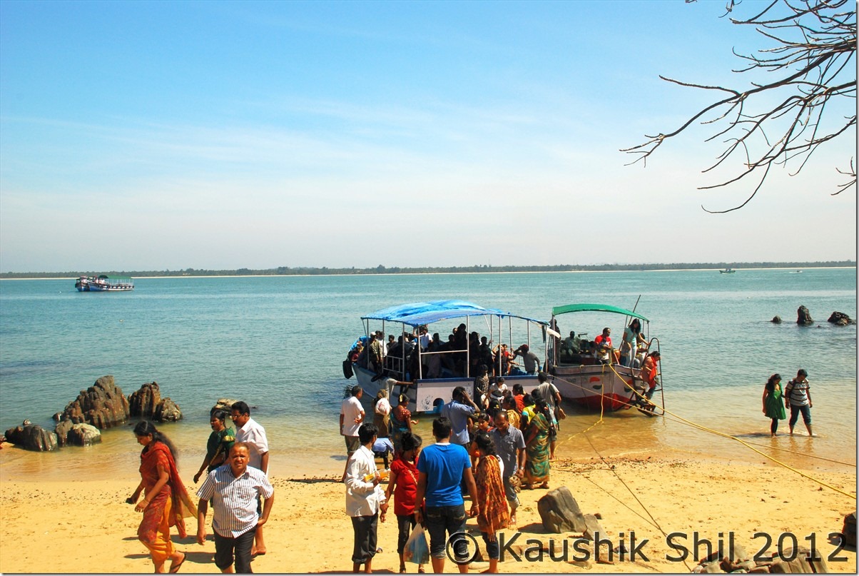
Spending some time there, we headed for Malpe, which is mostly a fishing center but has a nice long beach as well. This is the place from where you have to catch the ferry of St. Mary Island, one must visit to get a taste of the emerald water and heavenly beaches of Tropical Islands for which Lakshadweep or Male is famous. The stunning rocky basalt formations that rise out of the sea would leave you spellbound for sure. Legend has it that Vasco da Gama first dropped anchor here on his expedition before entering the country from further South. The ferry timing is tricky unless you venture on a Sunday. A ferry takes at least 100 people and the only regular ferry to island is at 10.30 in morning, so apart from Sundays it’s really risky to venture if you miss the 10.30 ferry. To and fro charges for adult are Rs. 85 and for child it’s Rs. 50. The 30 mins long ferry would take you to island, there would be a small boat which would take you from ferry to island but still it’s almost certain you have to get down in the water before reaching the island, so be careful about the shoes you are wearing, we were aware of this and kept our shoes in car and wore sandals before venturing there. This is a place where you could spend your whole day actually but the ferry usually gives you 2 hours time to enjoy this lovely island before it starts its return journey.

From St. Mary we drove straight towards Maravanthe and the beach there just beside NH17 would definitely be a pleasure to watch and spend some time. Our destination was Turtle Bay, a very nice resort for many reasons: right next to the beach, very clean, good service, and great privacy to chill out on your vacation. It was costly though but if you can afford it, the experience staying here is unmatched.

After quick check in I started my northwards drive to Ottinene sunset view point. As you leave Maravanthe, at the start you would find Arabian sea at your left where waves crash with a roar and on right, the fresh water of Souparnika river dancing around, one hell of an amazing drive as you can imagine. Take a left up ahead just after an upward curving section of NH 17 where you would find a sign board, only to hit a dirt track half-a-kilometer later. A km of driving on dart track would take you to a view point, that you should never miss. To look below and find the Sauparnika River meeting the Arabian Sea in a gentle embrace, the waves of the sea rolling towards the beach and crashing there, and the long shoreline in front of your eyes, would cast a magic spell.

Car Odo Reading:

Mangalore – 45436
Kaup – 45488
Malpe – 45508
Turtle Bay, Maravanthe – 45565
Ottinene – 45587
Maravanthe – 45618

Pristine Kaup Beach:

DSC_20010

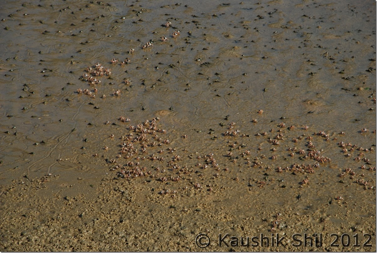
The crabs :

DSC_20007

The lighthouse at Kaup:

DSC_20038

St. Mary’s Island from far:

DSC_20052

The beaches at St. Mary Island:

DSC_20081

Amazingly colorful St. Mary’s Island:

DSC_20086

The stunning rocky basalt formations:

DSC_20098

Far away the bigger ferry that took us here, the smaller one used for transporting to island, note you have to walk in water anyway:

DSC_20099

Mind blowing NH17, left side Arabian Sea, Right side Sauparnika River:

DSC_20117

Sauparnika river embracing Arabian sea from Ottinene:

DSC_20123

Day10

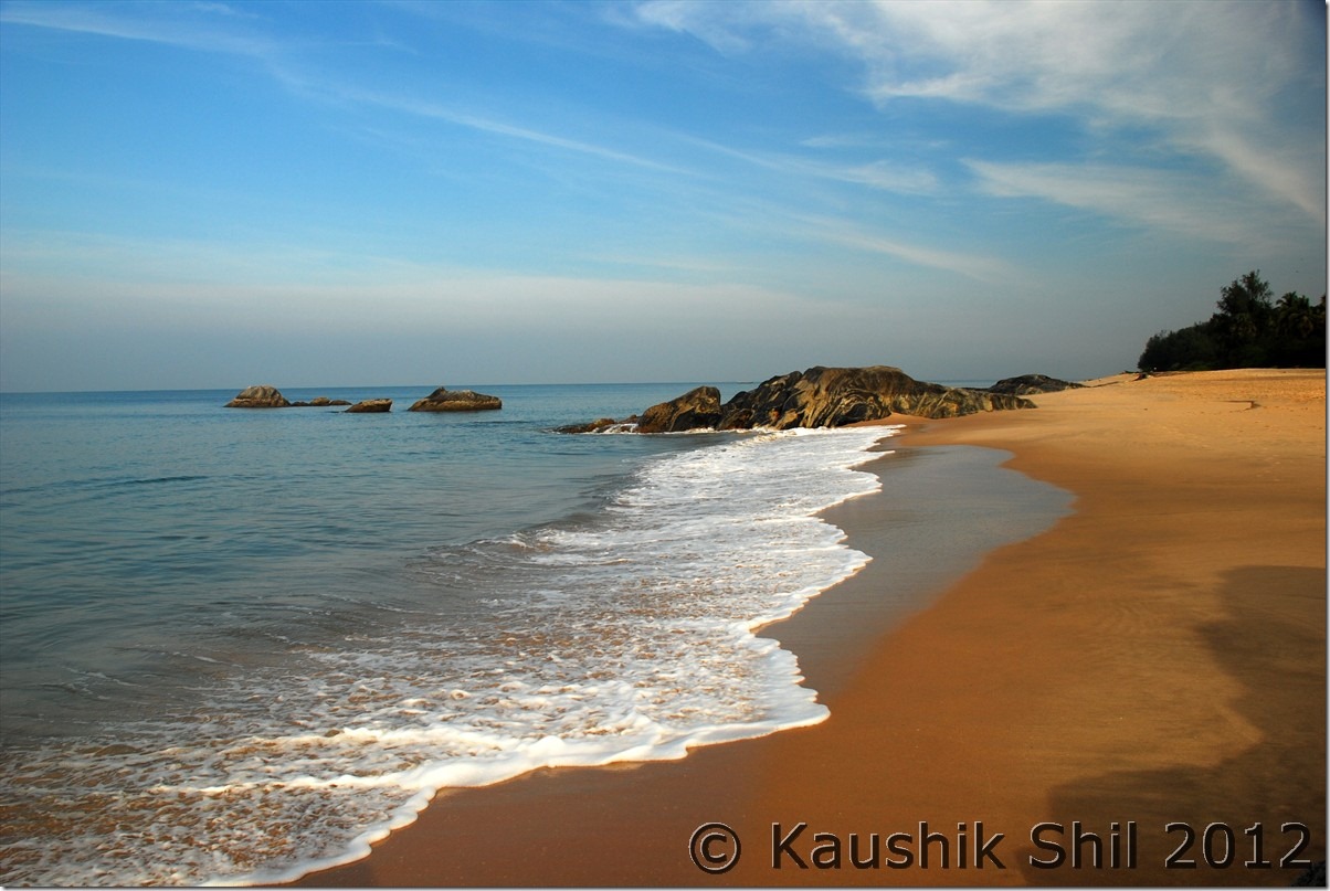
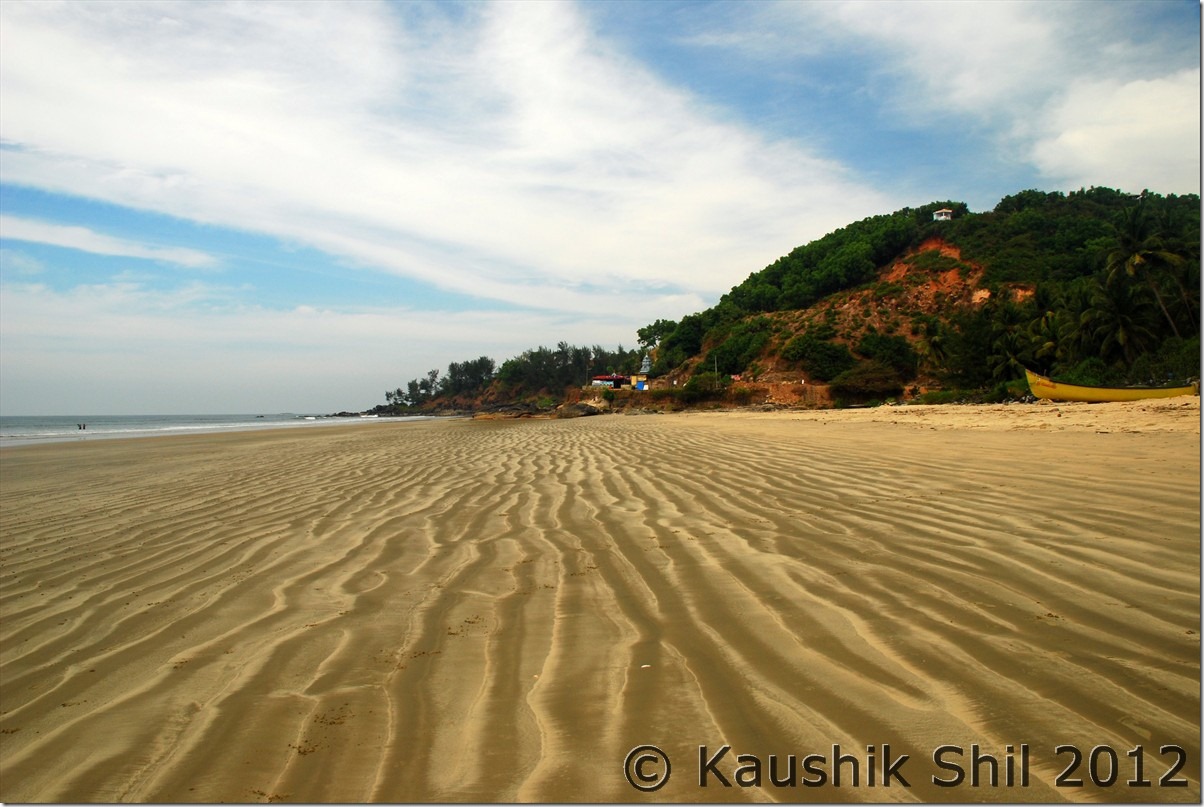
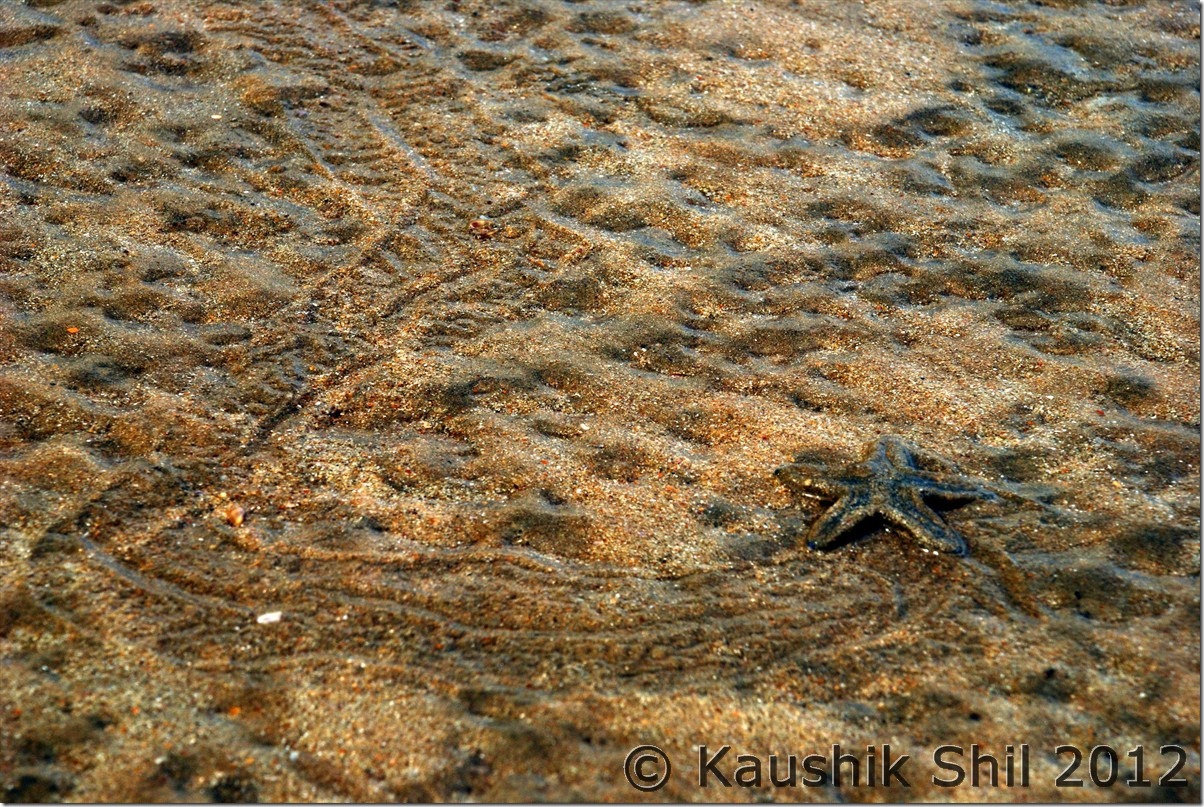
The day started with a lovely stroll on the secluded beach adjacent to the Turtle Bay resort, the fishermen starting their daily life, the colorful fishing boats, the crystal clear blue water embracing the golden sands made you feel out of this world. Soon after breakfast we headed north towards Baindoor, a beach which I loved the most in my whole trip. Lovely serene beach with one lonely temple and Ottinene sunset view point on top, Sauparnika river meeting sea in front of you, the textured sands and tracking the star fish trails on the beaches is something you won’t be able to forget in lifetime. If you want to experience the serenity and isolation and want to experience the ocean in an exclusive date, this is the place for you.

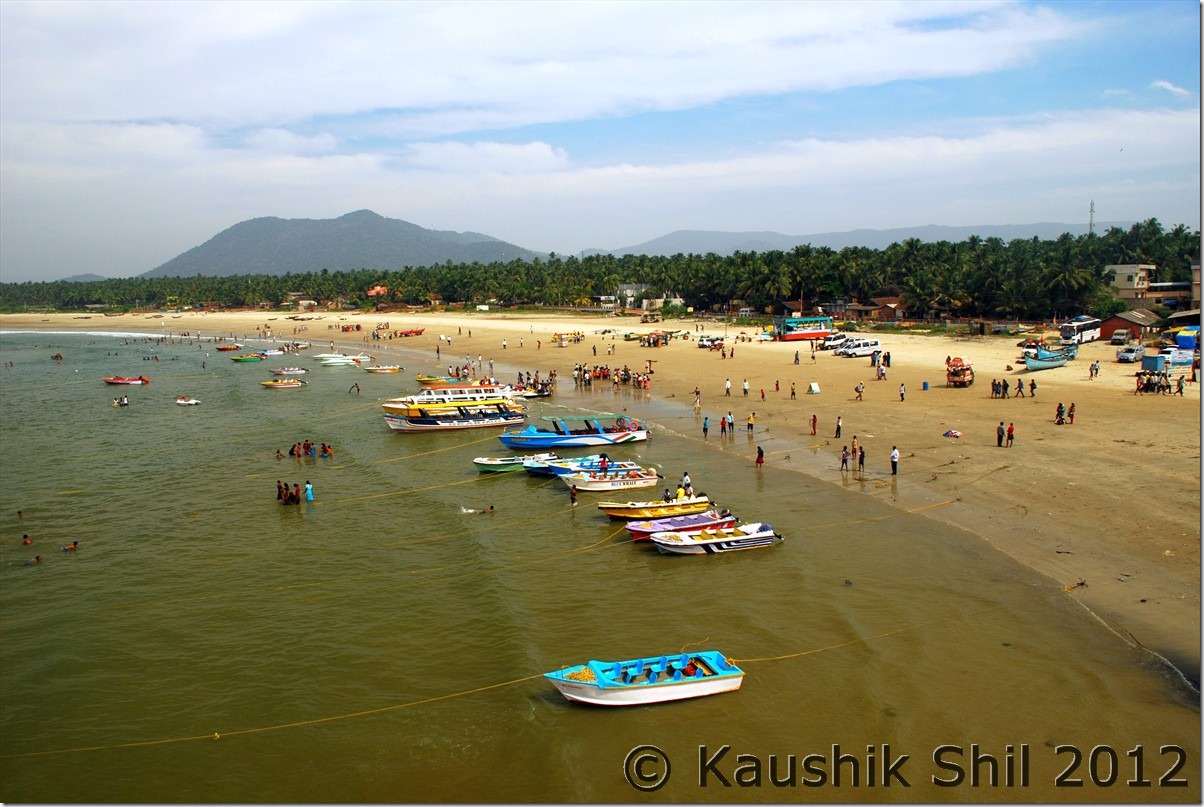
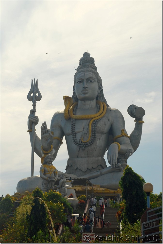
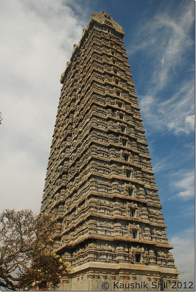
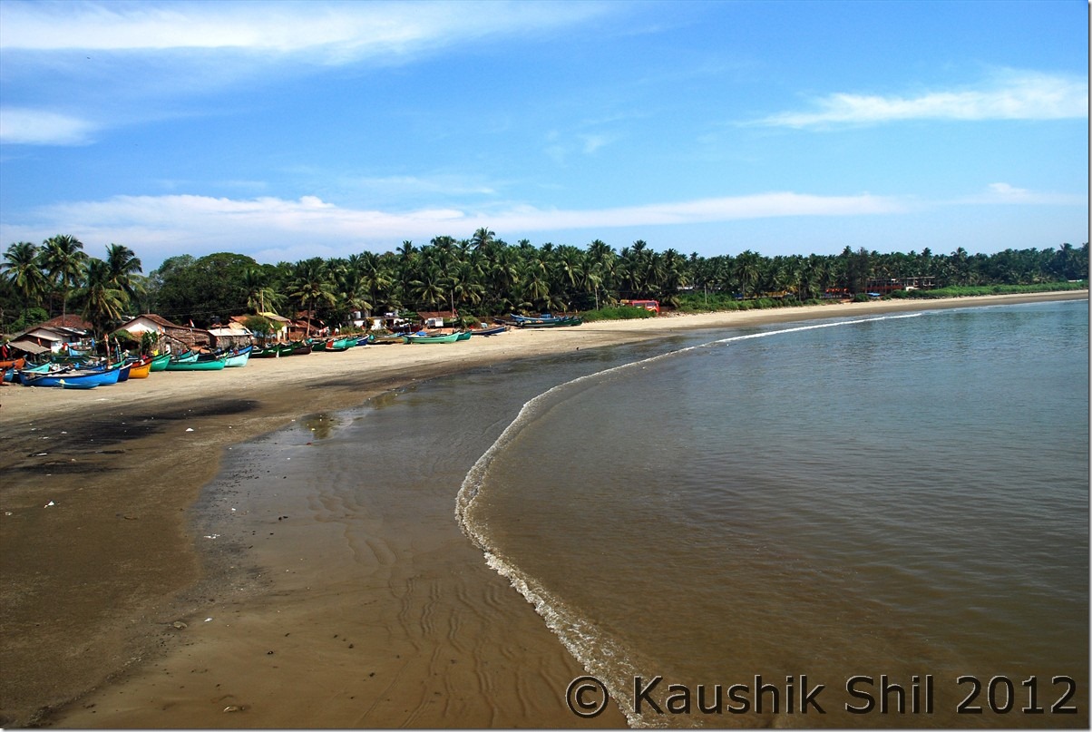
Next stop was Murudheshwar, the whole town was probably built by R.N.Shetty and his company, It’s everywhere you would find RNS group. The beach was fabulous and colorful and the Shiva statue was awesome. RNS Hotels are also located in a nice place where you would almost feel to be on the ocean. Those who are keen to explore more, can go to the other side to discover a nice and small fisherman’s village. We had lunch at that sea top restaurant and after that headed towards Honnavar.

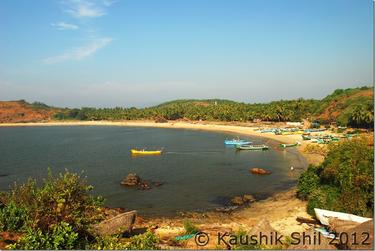
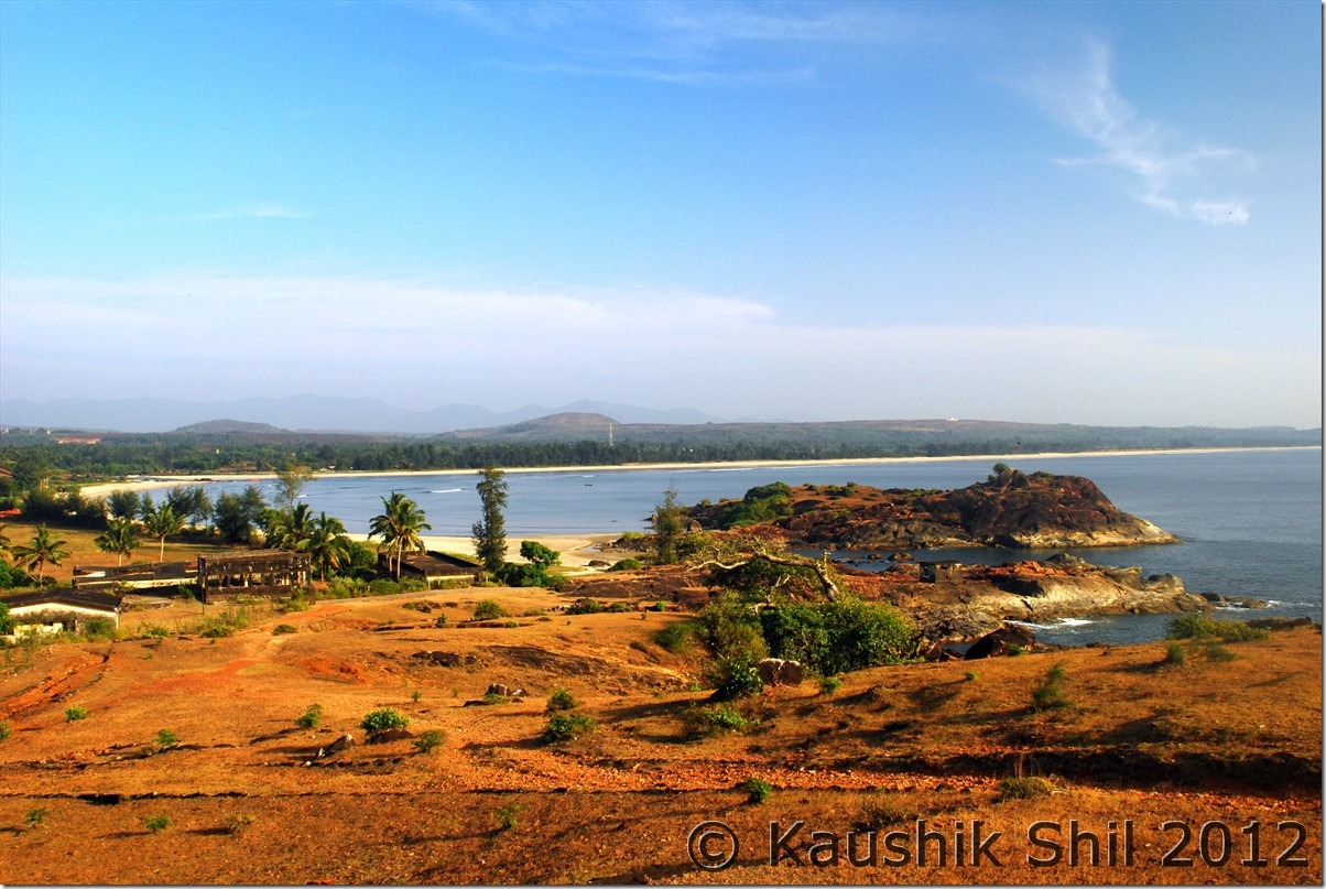
Just after crossing the bridge we went to Apsarakonda falls, the setting was nice and peaceful but even in a weekday noon, filled with tourists, mostly locals though. This is a small falls where the ambience is more attractive than the falls itself. We kept continuing our journey towards further north and again took a left just before Kumta town to explore Kumta beach, so close to Gokarna and not that well known, this is a place where you can easily spend many hours. Long and nicely shaped beach with white sands and the nearby hills where there was a old and abandoned building with its own romantic charm would attract you for sure. Me and my kid started walking on the top of the hill, crossed two more hills, discovered on the far side the Gokarna beaches across the hills. It’s a feast for your eyes with stunning views all around, waves crashing down below the hills, the breeze sounds so melodious, on the other side of the hill, the view is equally picture-postcard – a fishing village engaged in its daily activities, and vessels of all hues and sizes lined up along the coast.

We moved slowly from this heavenly place and took a turn from NH17 to a 10km detour towards Gokarna. We booked Nimmu House with the help of JP, which was nice but only problem was it doesn’t have a restaurant with it, making it little difficult especially with kids, if you are not too keen to go out for dinner after a long hectic day.

Car Odo Reading:

Maravanthe – 45618
Baindoor – 45643
Bhatkal – 45664
Murudheshwar- 45681
Honnavar – 45713
Kumta Beach – 45732
Gokarn 45772

Turtle Bay Resort – Excellent location:

DSC_20164

Maravanthe Beach at Morning, busy with fishermen and the turtle:

DSC_20177

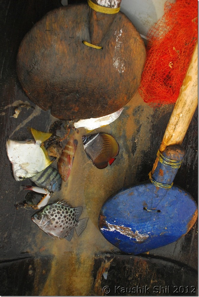
Fisherman’s catch:

DSC_20185

Maravanthe, the isolation would touch you:

DSC_20195

Baindoor, the best beach that I experienced ever:

DSC_20233

Star fish trail at Baindoor:

DSC_20234

Murudheshwar Beach, so colorful it is:

DSC_20239

The temple and the famous idol:

DSC_20243 DSC_20247

Other side of Murudheshwar:

DSC_20250

Previous: Karnataka – Bekal Fort (Kerala)

Next: Karnataka – Kumta, Gokarn, Bhadra Wild Life Sanctuary

Karnataka – Bekal Fort (Kerala)

The forest road through Talacauvery Tiger Reserve, Crossing the Western Ghats to Panathur:

DSC_0883

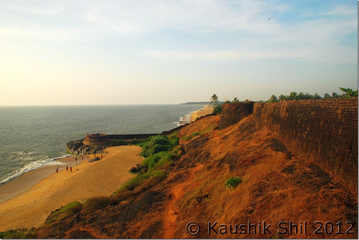
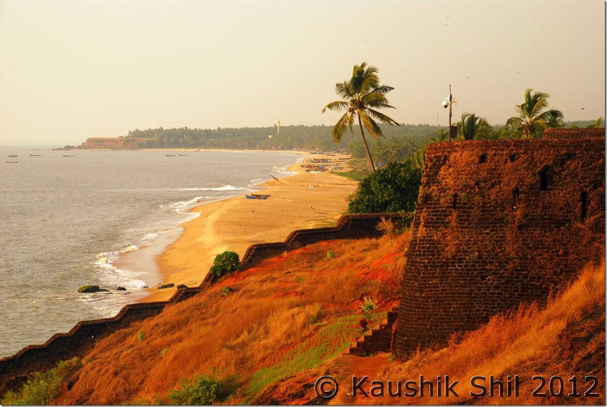
Bekal Beach and amazing Fort:

DSC_0904 DSC_0920 DSC_0928 DSC_0931

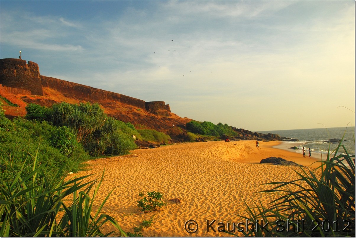
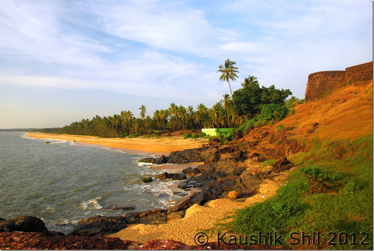
See the settings in various angles, you would appreciate why this is one of the most favourite shooting spots of Maniratnam :

DSC_0935 DSC_0944 DSC_0946 DSC_0950 DSC_0959

The perfect Sunset from Bekal:

DSC_0985 DSC_0986 DSC_0990 DSC_0996 DSC_1000

Its almost the most perfect sunset, I have ever witnessed in my life:

DSC_1001 DSC_1008 DSC_1009 DSC_1010 DSC_1025

Previous: Karnataka – Kabini and Coorg

Next: Karnataka – Pristine Beaches Kaup, St. Mary Island, Maravanthe, Baindoor, Murudheshwar

Karnataka – Kabini and Coorg

Day6

We started visiting Thirunelly temple and it was really located in a beautiful ambience with mountains and forests around. But like other temples of South India, it’s too commercialized to my liking. I found a rate chart with various types of pujas/offering/services listed on a board and there is a cash counter where people busy in paying. Even the people there couldn’t allow me to take a snap to far side mountains unless I pay some donations, sorry it’s not the place I wanted to be. Quickly headed towards same route via Thutta road and Kattikulam and moved to Nagarhole NP via Bavali. The road to Nagarhole was amazing and again a stretch where you would enjoy every second of driving. In Karapura, now a part of NH (for 10km) is closed and all vehicles detoured through village road to reduce disturbances to wild life. This stretch was horrible to drive but finally reached JLR Kabini around 1.30pm.

The best JLR as I heard from many of my friends, the place is amazing. With nice settings and comfortable cottages and tents, this is a place to stay if your budget permits. The Food was good, the evening safari at forest was interesting as we could spot many deer, (I haven’t such a large herd of deer anywhere in India, at least 50/60 deer were there in a herd, amazing sightings), Sambars, Wild Boars, Bisons, Wild Elephants, Giant Squirrels and many different birds. Only complain was JLR arranged a 14 seater bus for the evening safari, which I really didn’t like and with lots of noise, you really can’t enjoy the forest ambience. I complained to the manager and next morning we were given an exclusive Gypsy just for us. JLR is an example of how professional even the Govt agencies can be. The food as usual was awesome and we retired early to bed on that day.

Car Odo Reading:

Thirunelly – 45011
Kattikulam – 45034
Bavali – 45041
Karapura – 45065
Kabini JLR- 45069

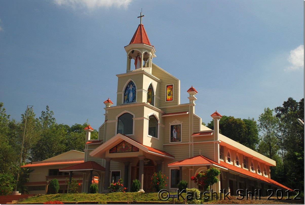
Wonderful Church at Kattikulam:

DSC_0562

JLR Kabini:

DSC_0586

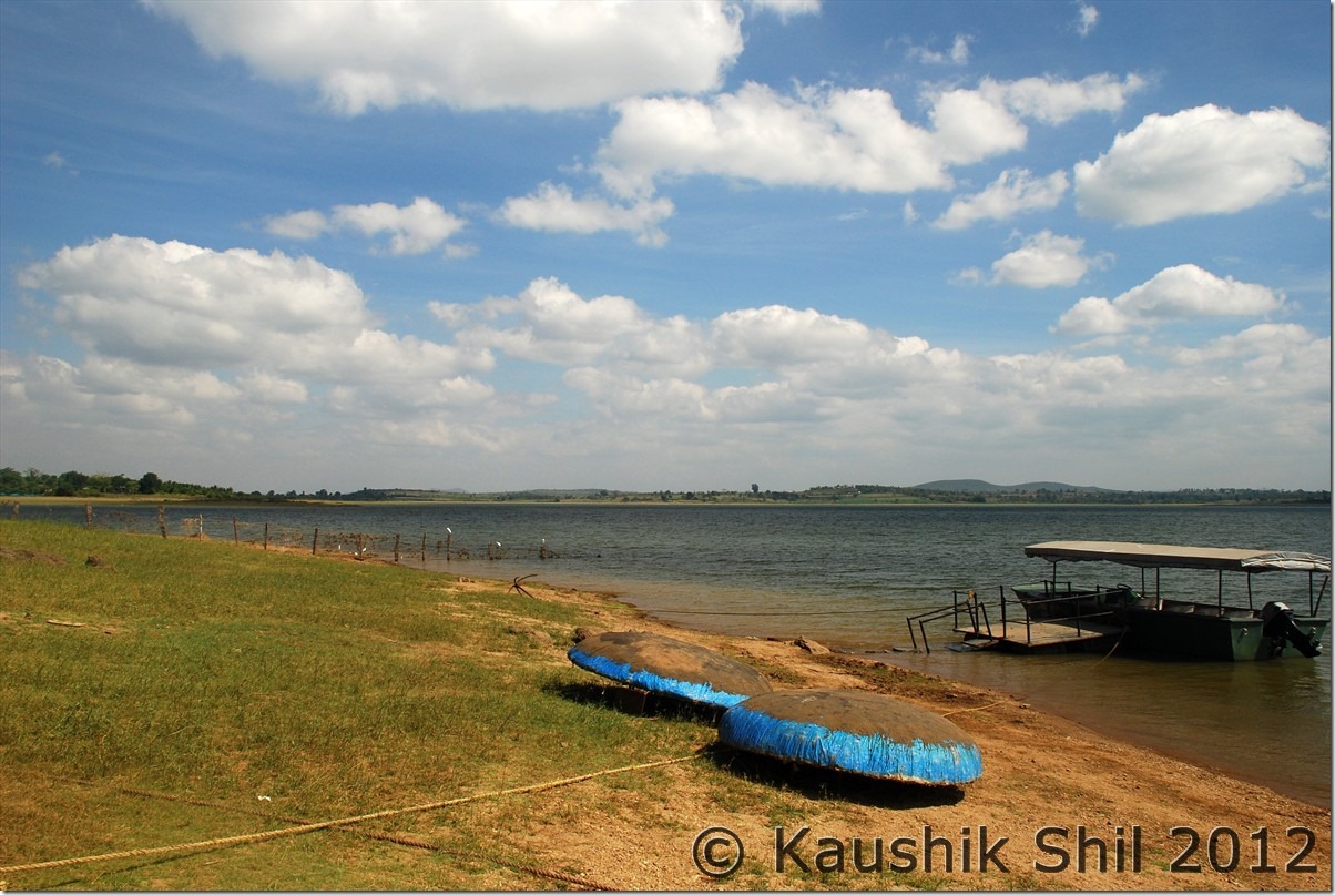
Kabini Reservoir:

DSC_0589

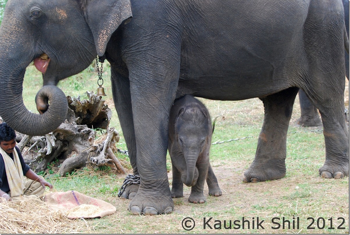
Elephant with 20 days old baby:

DSC_0628

Indian Gaur@ Kabini

DSC_0634

Day7

The day started with a nice tea and then the forest safari in our exclusive Gypsy. Tourists have options to choose between boat ride to Kabini backwater or jeep ride to forest. We wanted the Jeep travel and the highlight was the close encounter with a leopard, whom we heard growling, saw the half eaten kill, felt its presence very close but with several attempts couldn’t spot it. But the feeling of the big cat so close to us was simply awesome.

We came back, had a nice breakfast and then went for a coracle ride at Kabini backwater. We enjoyed our stay there completely and started our journey towards Coorg. Question was which route to follow, the straight one via Hunsur or the more scenic one via Kutta, Gonikoppal. We discussed and decided for Kutta route, so backtracking till Tholpetty via same route through Bavali, Kattikulam and finally proceeding to Kutta. Kutta to Gonikoppal is 37 km and out of that 15km was very poor, rest was ok to good. We took Gonikoppal – Virajpet and finally Madikeri route and reach KSTDC Valley view hotel. This KSTDC is nice one and newly renovated it seems. I met JP here, called him at Raja’s Seat, enjoyed a fabulous sunset from there and then had an enjoyable dinner together while discussing lots on Karnataka road. He was instrumental in designing my plans regarding roads and it was great to meet him there.

If you love nature and are looking for a nice driving in lap of nature you should not miss the drive from Kabini to Madikeri via Kutta, Gonikoppal, Virajpet. It gives you the absolute feeling of Southern Coorg, which is simply mind blowing.

Car Odo Reading:

Kabini JLR – 45069
Bavali – 45096
Kattikulam 45104
Kutta – 45120
Gonikoppal – 45157
Virajpet – 45175
Madikeri – 45209

Early Morning at Kabini:

DSC_0641

Nagahole National Park:

DSC_0693

Nagarhole NP in the backdrop of Kabini Reservoirs:

DSC_0696

Wild Elephant beside the National Highway:

DSC_0737

The road from Karapura to Bavali, truly a safari drive:

DSC_0740

An unforgettable sunset from Raja’s Seat at Madikeri, Coorg:

DSC_0760 DSC_0769 DSC_0791 DSC_0795 DSC_0806

Day8

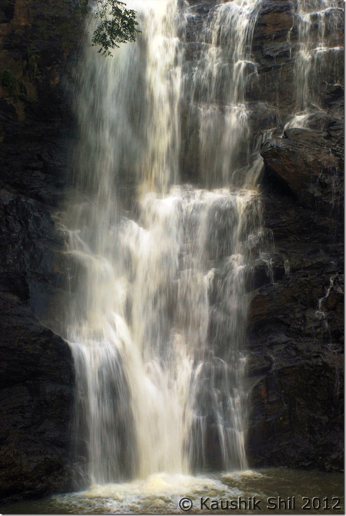
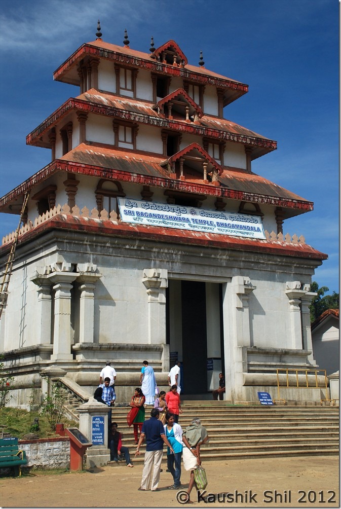
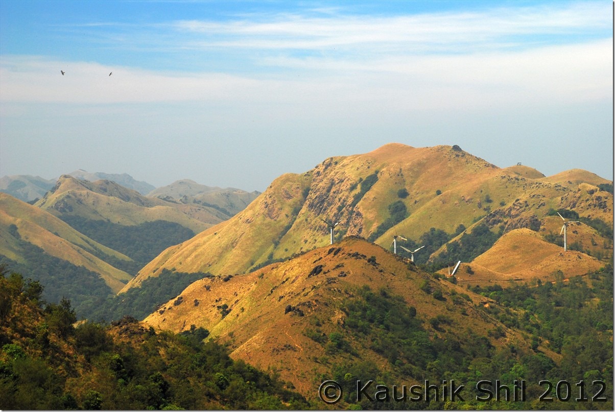
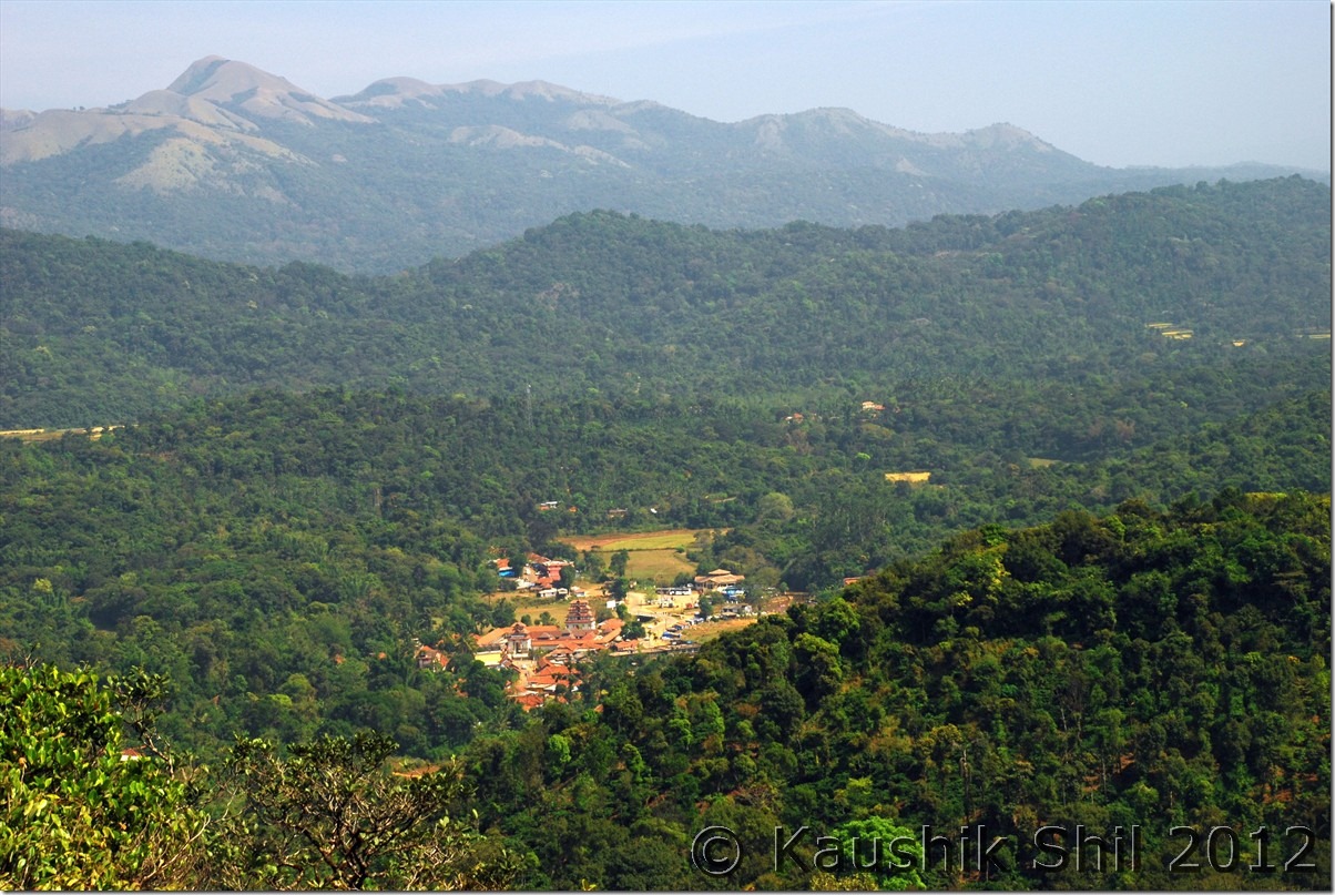
We started our day with a quick visit to Abbey Falls, as it was quite early, we didn’t find much crowd and enjoyed it a lot. On return, had breakfast and started our day towards Bhagamandala. Nice temple, I liked it but more I liked the next place, Talacauvery where if you climb to the top, an awesome vista would be exposed in front of your eyes. Enroute from a view point you can enjoy the Bhagamandala temple at far side.

The exploration continues and with advice of few experienced travellers who took the less travelled Bhagamandala – Panathur route which was through Talacauvery Tiger Reserve and a forest road through the ghat sections. It was indeed one of the most scenic routes I have taken in this trip. You would feel the loneliness that I was missing in this trip and it’s very dense like a true rain forest. Slowly we started losing height and finally reach Kerala plains in 2 hours flat, roads were unexpectedly good and we felt the change to a hot and humid weather from the colder ambience of Coorg.

We reached Bekal via Kanhangad and what a sea fort it is!! The settings, its locations, the colorful grasses and the long ocean coast kissing the fort makes it a great place to enjoy! You must be there to enjoy the red stones in evening light of sun and we experienced a magical sunset in Arabian sea, one of the most perfect I have ever seen in my life. There were not much options to stay at Bekal and we thought of proceeding straight to Mangalore for night stay. The hotel was just average but had AC and clean beds, we were very tired and soon went to bed for an even more promising journey of next day.

Car Odo Reading:

Madikeri – 45209
Abbey Falls – 45219
Back to Madikeri – 45230
Bhagamandala – 45266
Talacauvery – 45274
Bhagamandala – 45284
Panathur – 45314
Kanhangad – 45360
Bekal Fort – 45373
Kasaragod – 45386
Mangalore – 45436

Abbey Falls:

DSC_0822 DSC_0831

Bhagamandala Temple:

DSC_0834

From the top of Talacauvery, the landscape looks amazing:

DSC_0863

Bhagamandala Temple from Talacauvery view point:

DSC_0881

Previous: Karnataka – Waynad

Next: Karnataka – Bekal Fort (Kerala)