Day 27 continued..
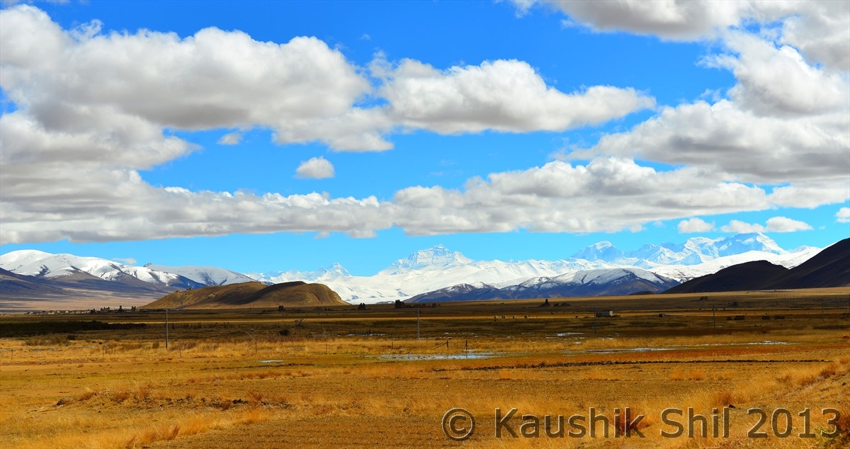
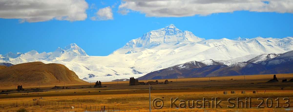
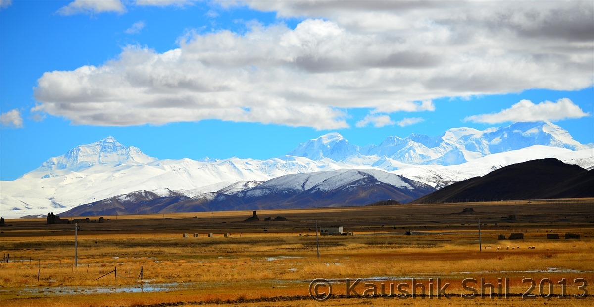
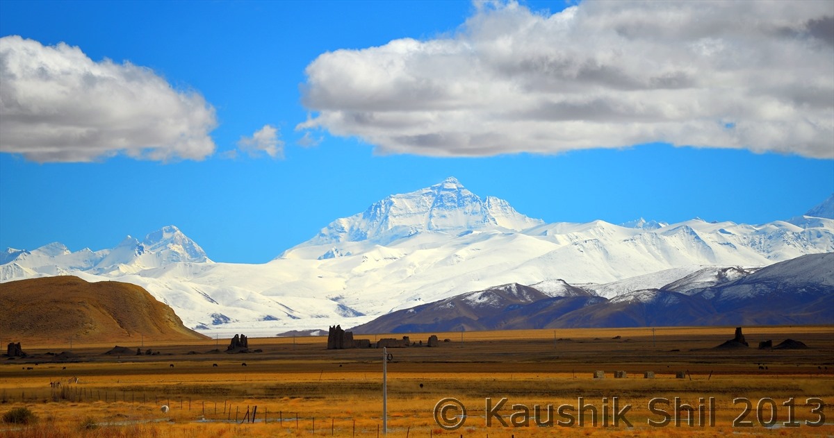
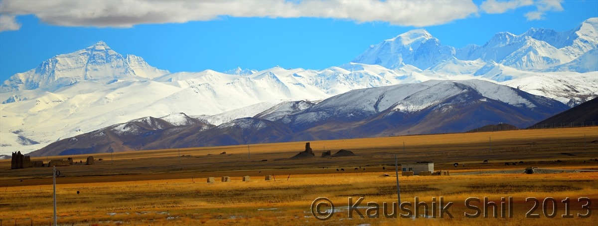
As seen from the Friendship Highway — Extreme Left Mt. Lhotse (8516 meter, 4th Highest ), Then from Left to Right Mt. Everest (8848 meter), Mt. Gyachung Kang (7952 meter, 15th Highest), Mt. Cho Oyu (8201 meter, 6th Highest) .. Mt. Makalu (8485 meter, 5th Highest) is just missing from sight in extreme left which is visible from Pang La on the way to EBC. I don’t think you would find a place in earth from where you can see 4 peaks above 8000 meter and 26 odd peaks over 7000 meters from a motorable road.
Mt. Lhotse and Mt. Everest
Mt. Everest, Mt. Gyachung Kang and Mt. Cho Oyu:
The magic wall of 8000 meters:
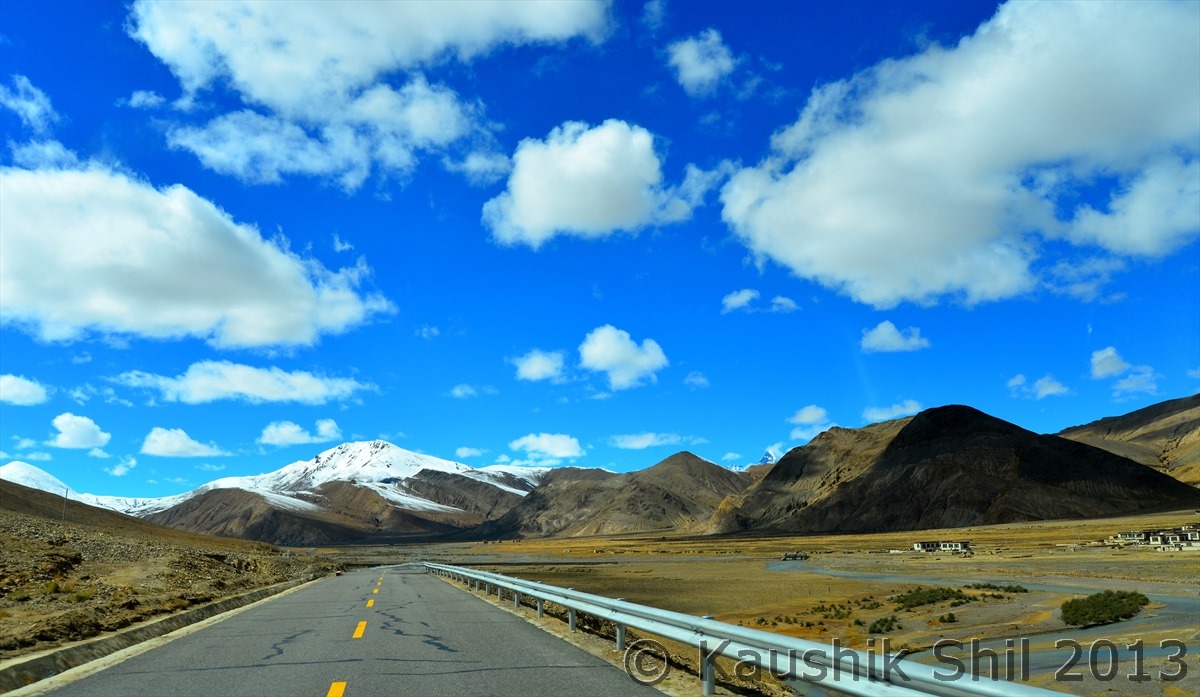
Friendship Highway goes on:
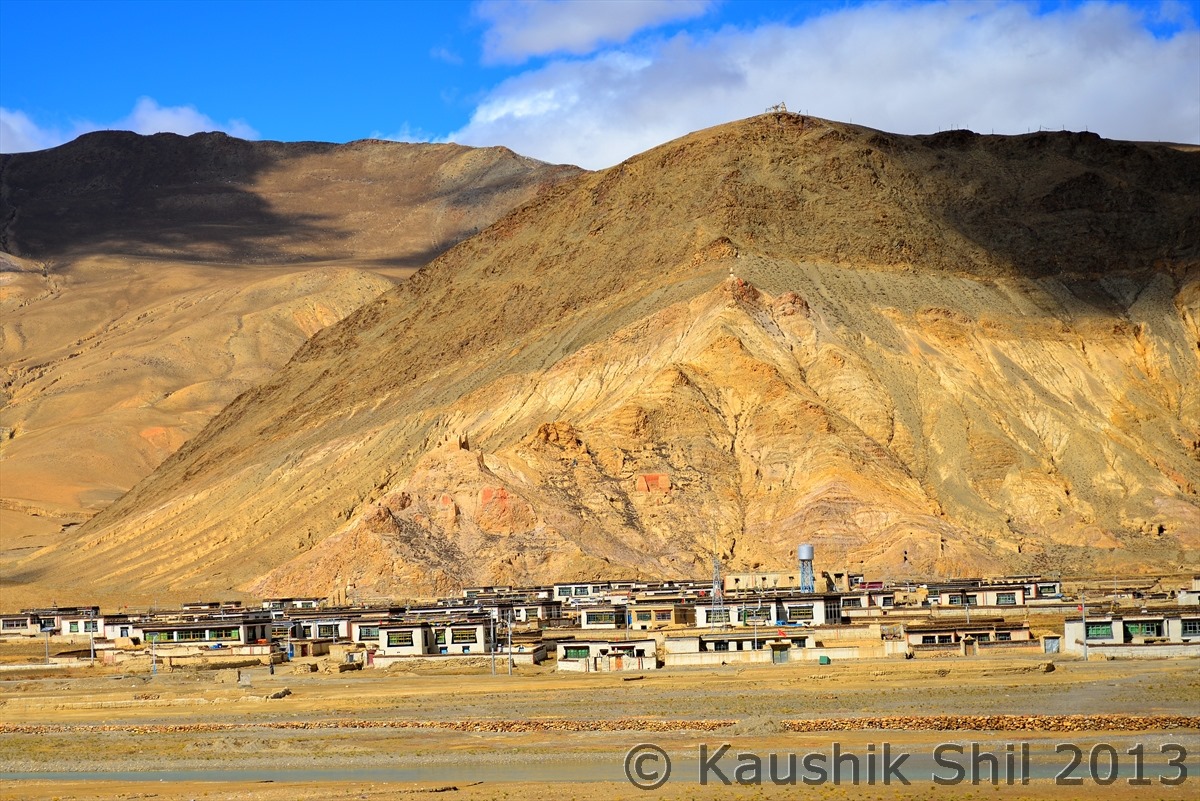
Small Town beside Friendship Highway:
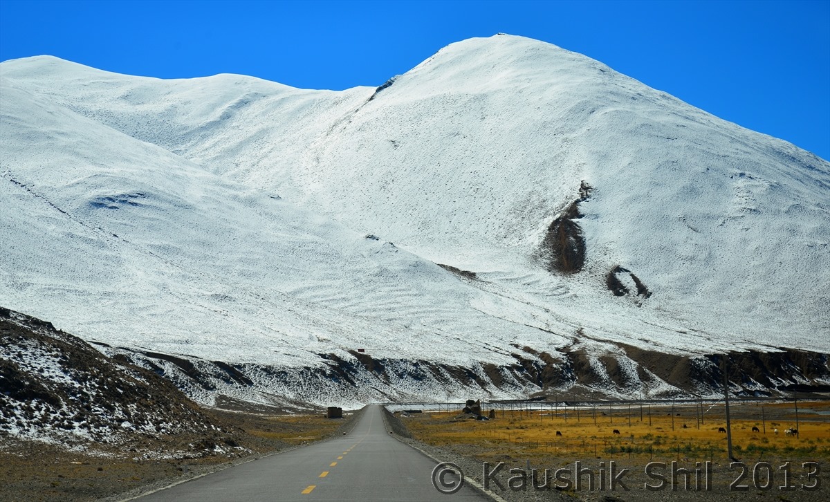
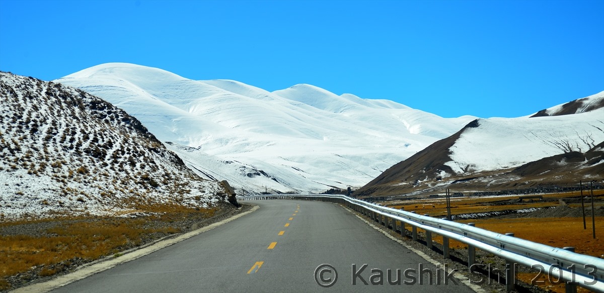
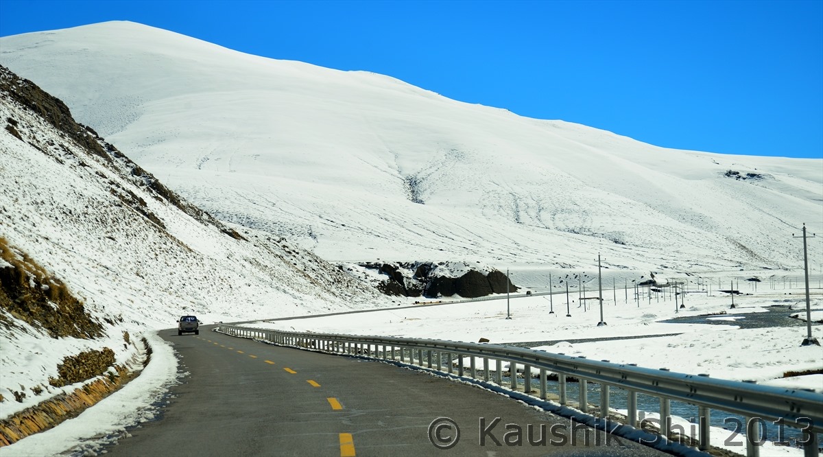
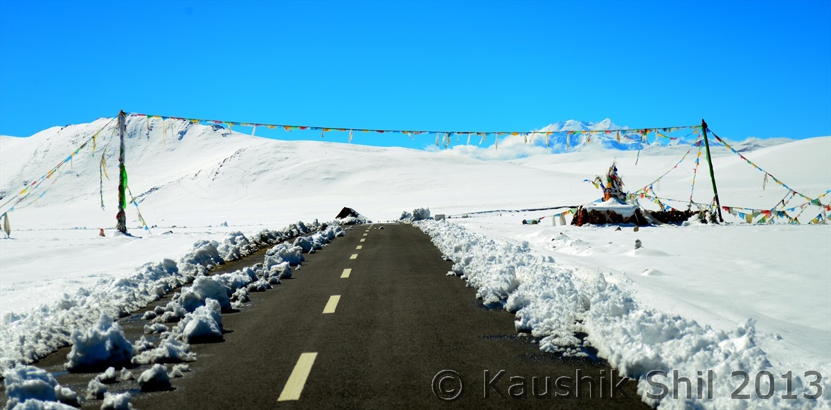
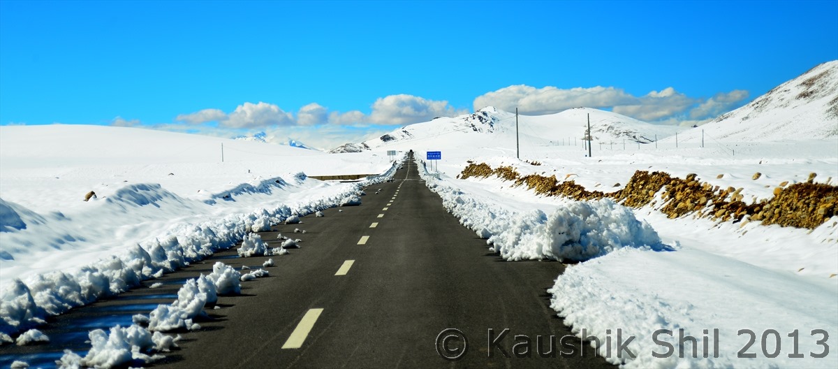
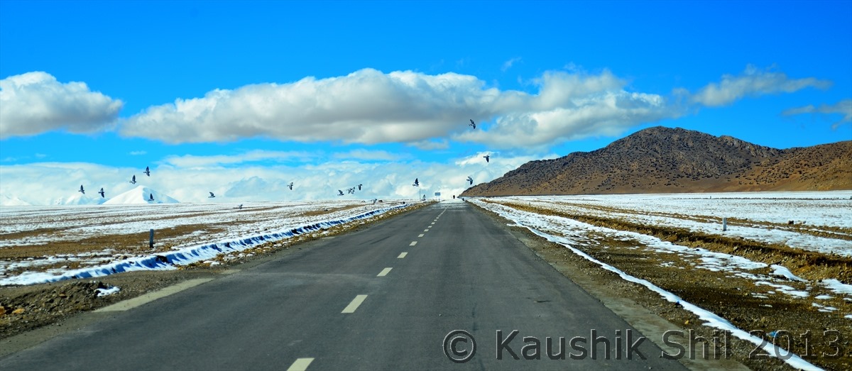
Friendship Highway entering the land of white:
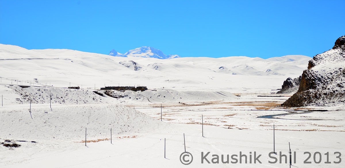
Entering All White, don’t miss the peak in far, Mt. Shishapangma (Lowest among the 8000 meters peak, at 8013 Meter known as 14th Highest and only 8000 meter peak that is located completely inside Tibet):
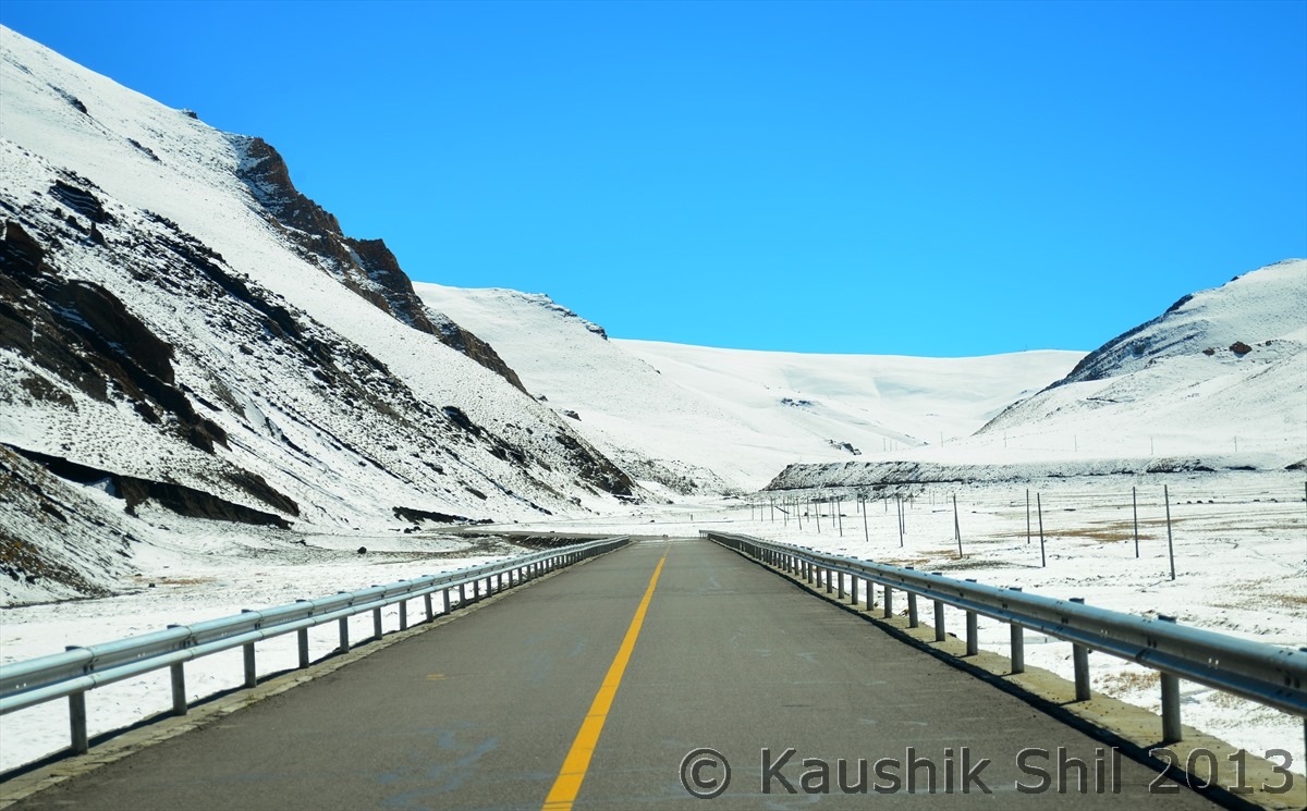
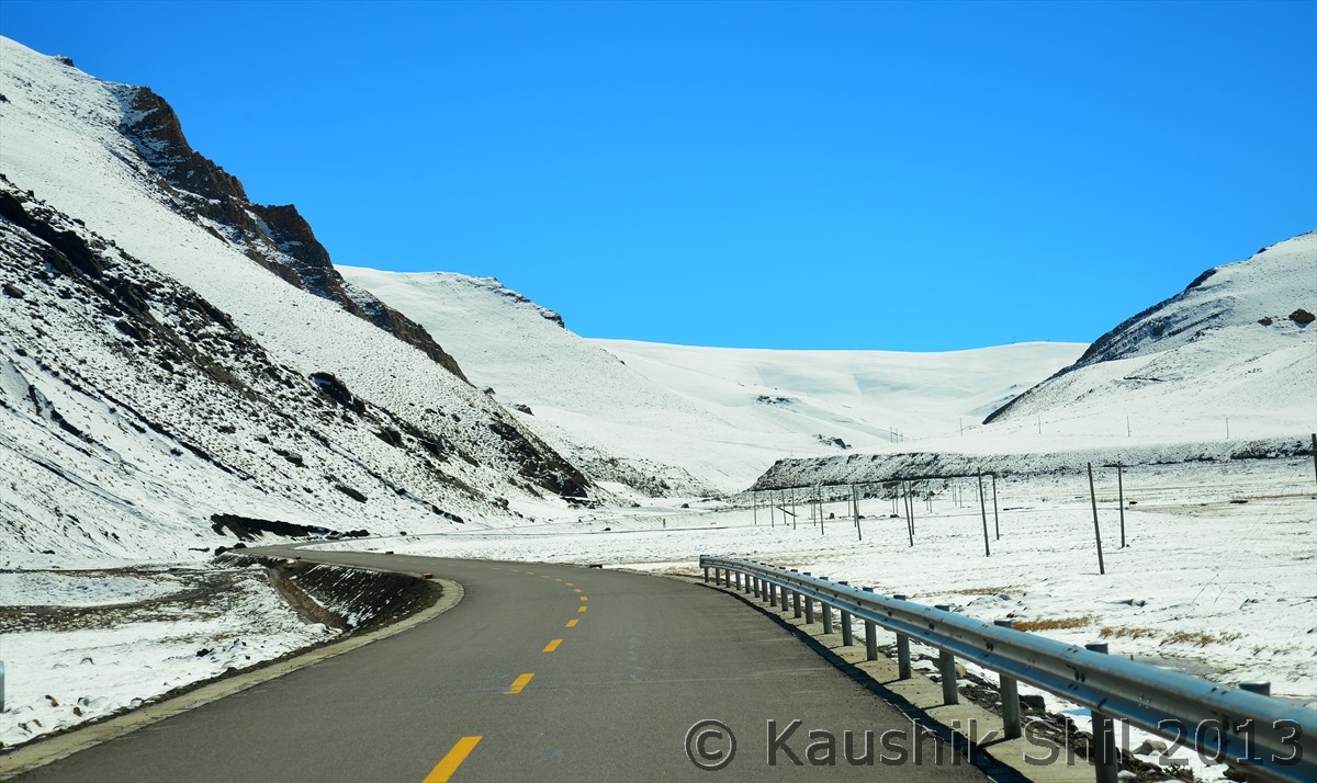
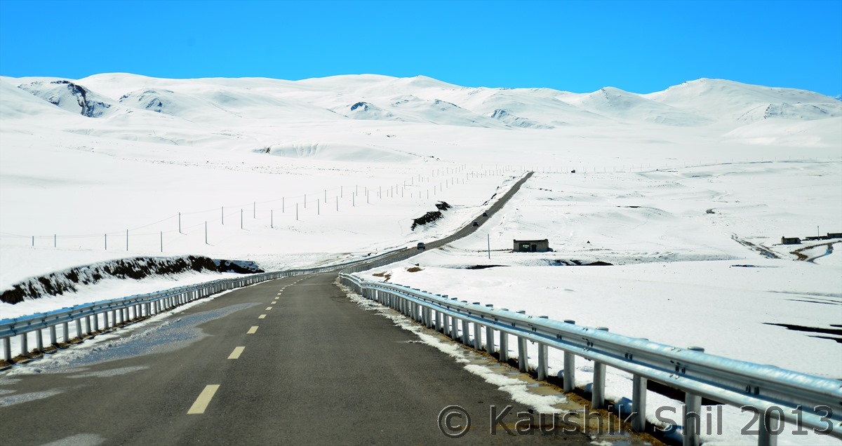
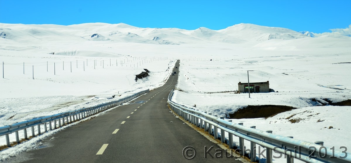
Driving in High Himalayan Region is an experience of Life time, Amazing Concrete road China has made in this difficult terrain:
Prayer Flags in innumerable passes enroute:
Now we are into the road towards Mansarovar and we are approaching towards the alpine lake Pieku Tso:
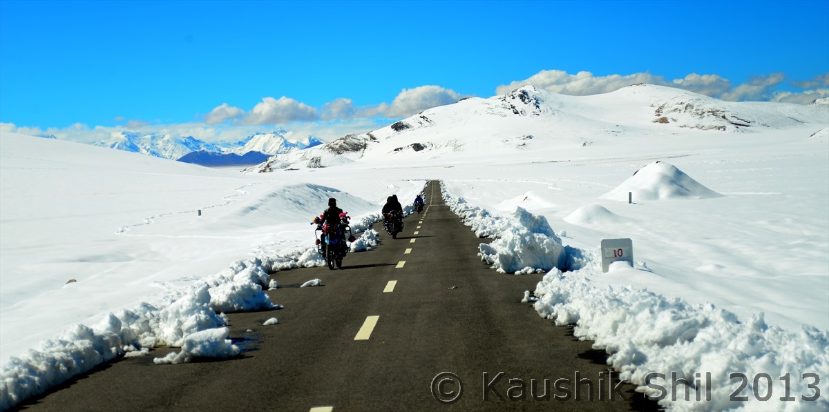
Local Tibetans Bikers:
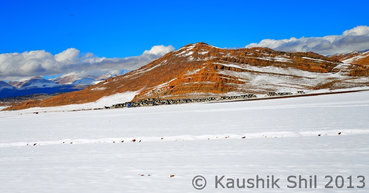
A Village in the middle of snow:
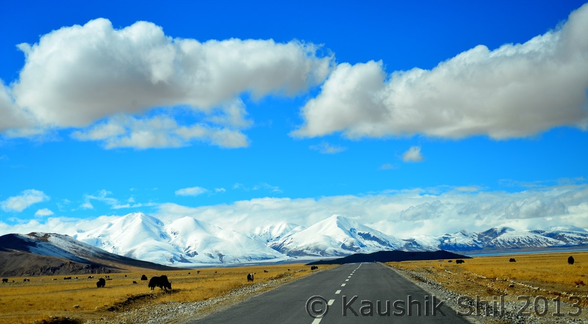
Driving through the amazing road:
First look at Peiku Tso in right, amazing setting of the Alpine Lake:
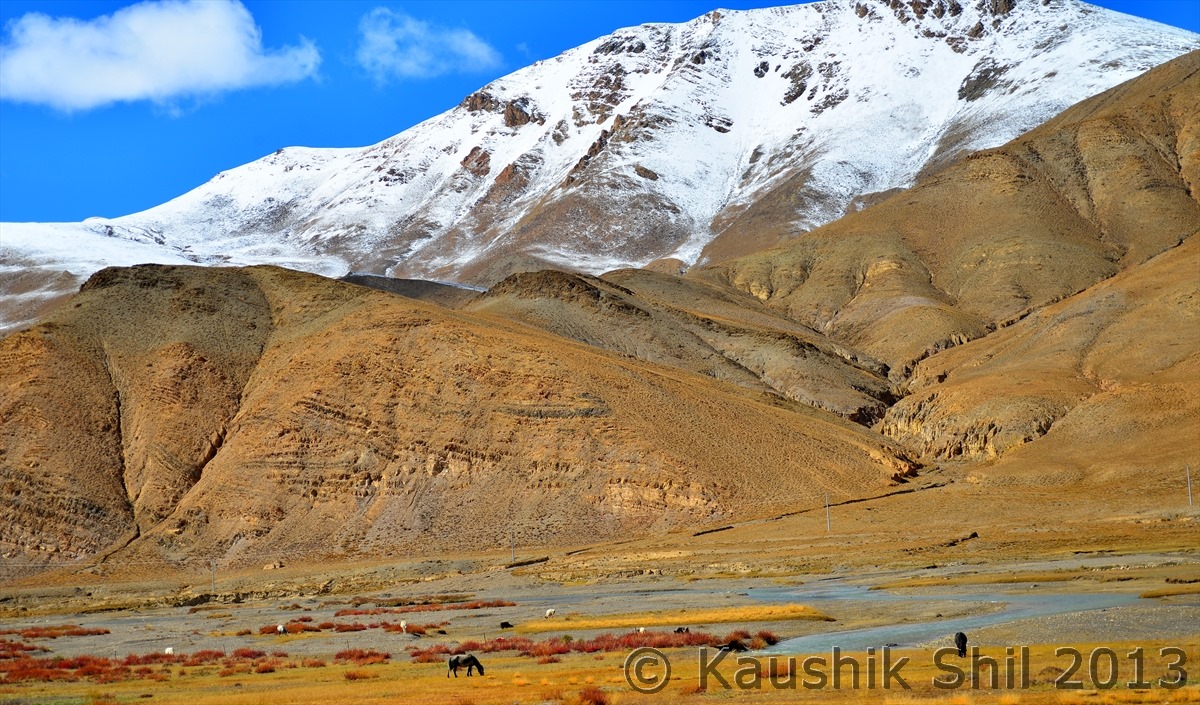
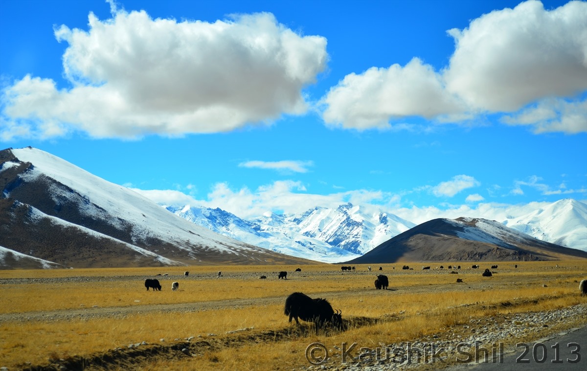
Yaks grazing in Himalayan Backdrop:
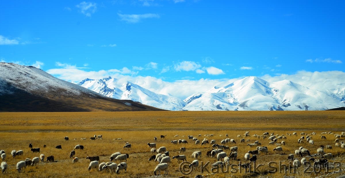
Sheep grazing in the pastureland:
Previous: Day 27/Part 3
Next: Day 27/Part 5
