Day 10:
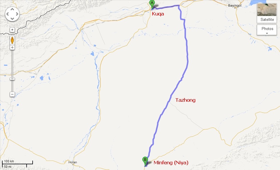
Today’s Route Map:
In Day9 if we have witnessed something by Chinese Govt which we might not like being Indians, Day10 is something where we saw something which we miss in India and wish if our Govt could do even a fraction of this. This day we could easily take route from Kuqa to Hotan and there by saving a full day, instead we planned to go back towards Urumqi for 100 km and to take the Desert Highway (known as Tarim Highway) to cross 522 km within deep desert of Taklamakan to reach the other side at Minfeng (Niya in Uighur). The total distance we traveled around 750km in the whole day and obviously we could reach Hotan only on next day. But still this epic road, which is world’s longest desert highway in any form is a sight to see and best to drive to feel and experience the fearsome Taklamakan Desert. Our only intention was to enjoy the Taklamakan desert which took lives of so many ancient traders of silk route and we achieved that fully. We reached Minfeng quite late almost around 10:00 in night but we could cover the desert part all through the day light and enjoyed the drive a lot.
I am quoting this from the history of the road which any travelers might be thrilled to read on how well Chinese could achieve this seemingly impossible task making longest road cutting just in the middle of second largest desert of the world.
Quote:
When Tazhong-4 Oilfield was discovered in the heart of Taklamakan in late 80’s, China National Oil Corp realized than an economical means of transport would be needed if the recovery of oil from field were to be profitable. A road was only the viable option. With a budget of CNY 4.5 Billion which later finally reached close to 8 Billion (120 Million USD) the China National Oil Corp organized 17 research institutes and more than 100 experts – engineers, geomorphologists, and botanists – to build a tarmac route across the Taklamakan. Nowhere in the world a road ever been built across such a hostile terrain. Engineers faced two main problems : to build a solid roadbed, and to protect it from being buried by constantly shifting sand.
Experimentation began in late 1991. The suitable roadbed formula was underlain with “geotextile”, a heavy-duty weave of tough plastic that was laid on compressed sand. This was topped with a gravel asphalt surface approximately 30 cm depth.
As the road inched its way south from Luntai, researchers found their efforts on finding the best way to protect it from windblown sand. Lateral “Shelter Belts” consisting of two lines of defense were built on both sides of the road. The first, about 100 meters from the road was a 1.3 meter high fence of interwoven reed stalks. The second line of defense lay alongside the road itself: a checkerboard pattern of reed stalks “planted” deep into the sand. This double defense proved effective as 90% of all windblown sand in the desert never rises more than 1 meter above ground – even in most powerful desert storms.
In total the road building teams came up with 310 new desert-stabilizing and road building techniques. Tens of thousands of laborers used thousands of square kilometers of geotextile and millions of tons of gravels. In the summer they braved 70 degree C and in winter mercury plummeted to Minus 30 degree C. Four sweating and shivering years later, the 522 km road with 7 meters width, finally linked Highway 314, to the north of the desert with Highway 315 in the South.
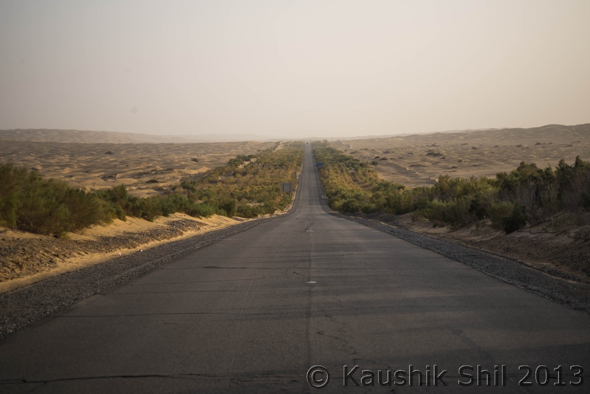
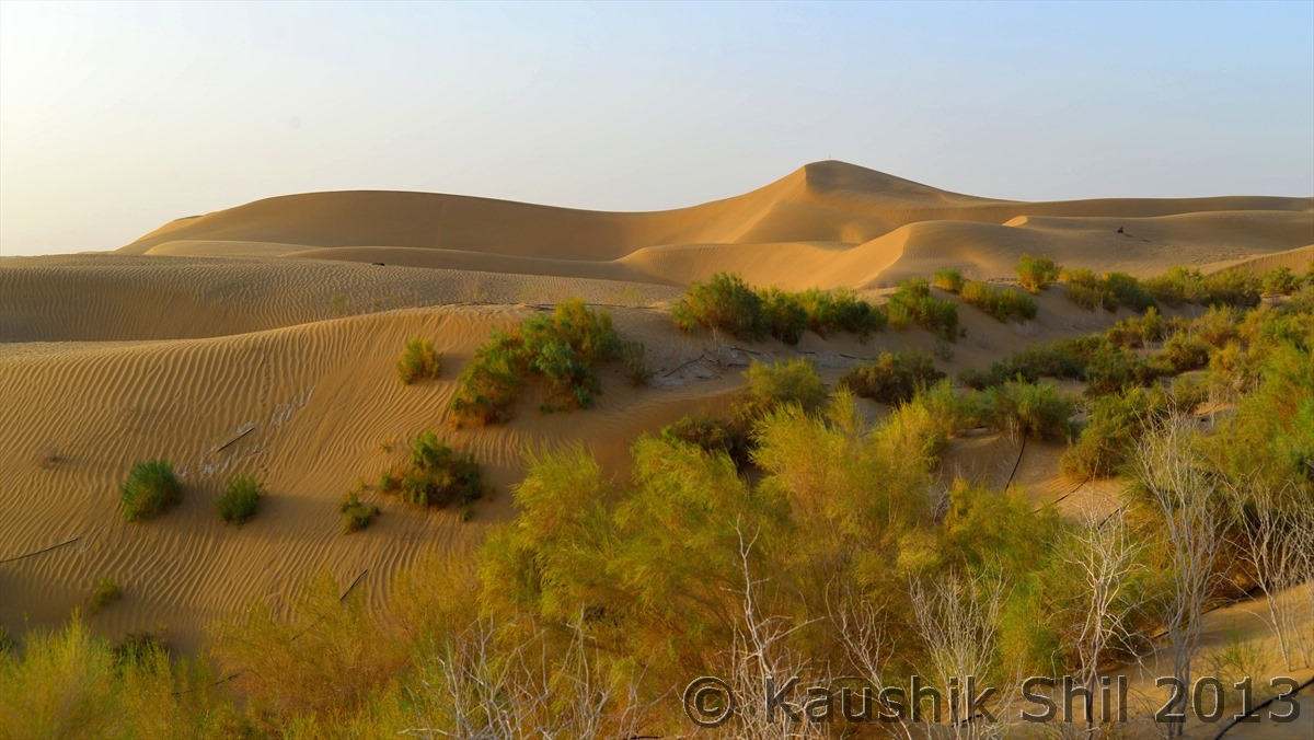
Designated as highway 312 and dubbed the Tarim Highway, this road building wonder – the world’s longest metalled desert road drivable year-around was opened to traffic in September 1995 and now takes 9 hours to cross infamous Taklamakan – an amazing feat considering that only a few decades ago the same journey would require many weeks of extremely dangerous and unpredictable travel.In 2001, anti-desertification plant species such as Chinese tamarisk, honey tree, diversiform Poplar and saksaul were planted along a 30km section of Tarim Highway to help hold off the sands, which constantly encroach despite the road side shelter belts and subsequently in 2003 a CNY 220 million (USD 31 million forestation project proceeded to create a green belt of desert plants on 3128 hectares of land along 436km of highway. To water these plants well stations are built in every 5km (So 100 wells stations were built for entire stretch) those pumps water through a network of pipes that run along the green belt. Six Million Cubic Meters of water is consumed annually to protect this road from the fiercest desert of planet Earth.
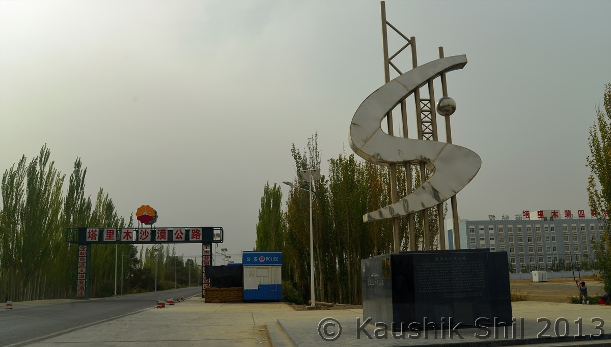
Starting point of Tarim Highway in Northern part of Taklamakan Desert at Luntai:
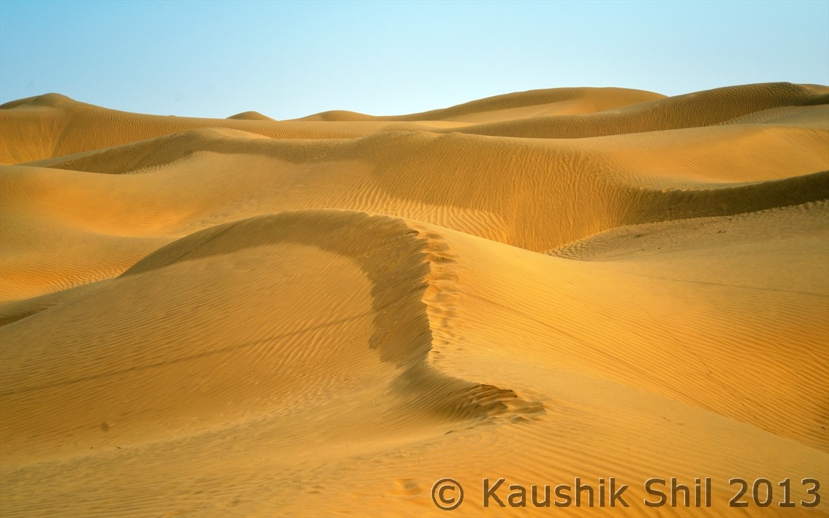
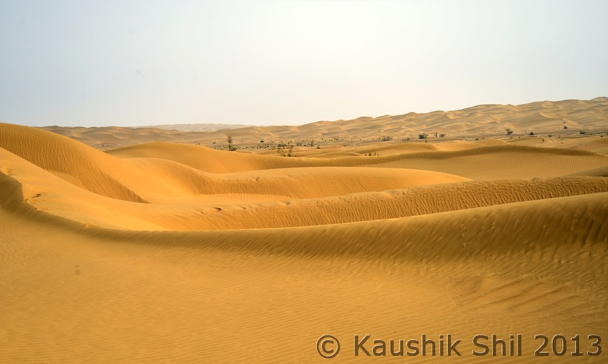
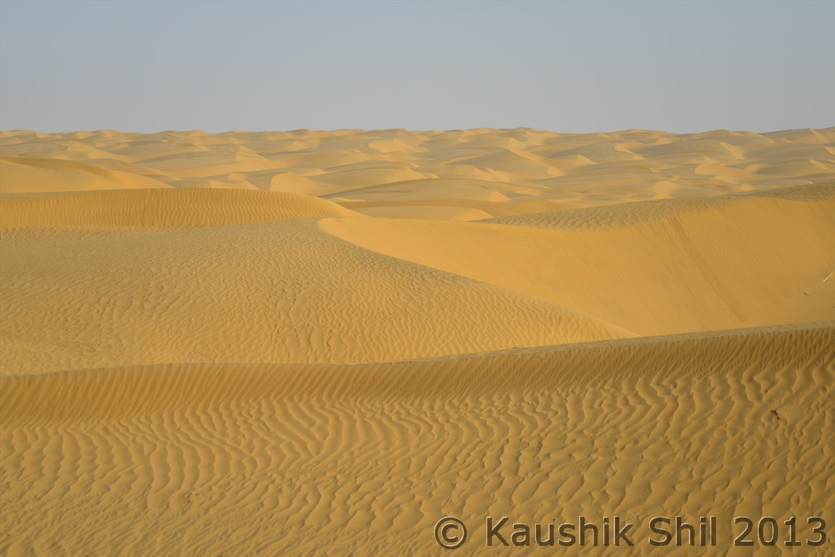
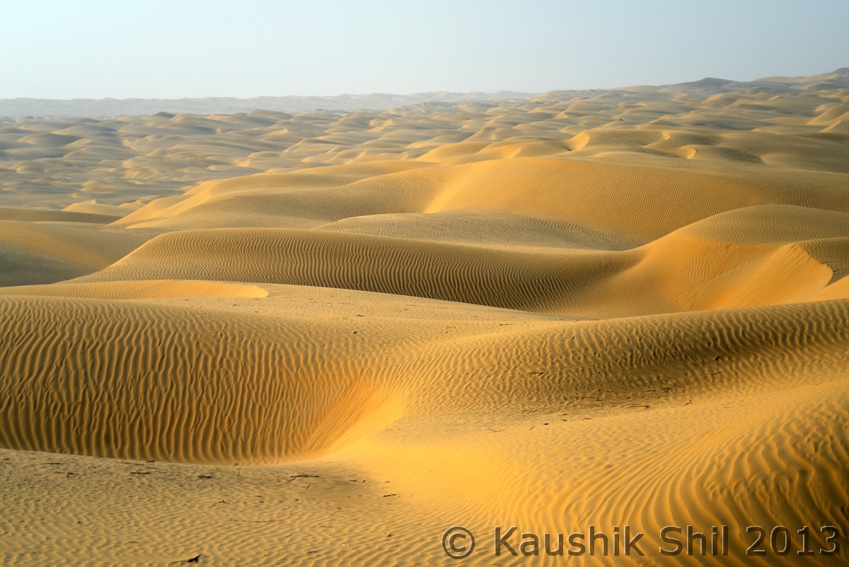
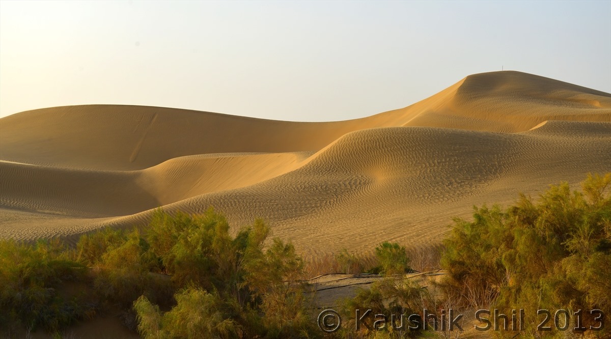
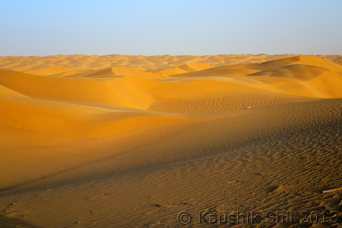
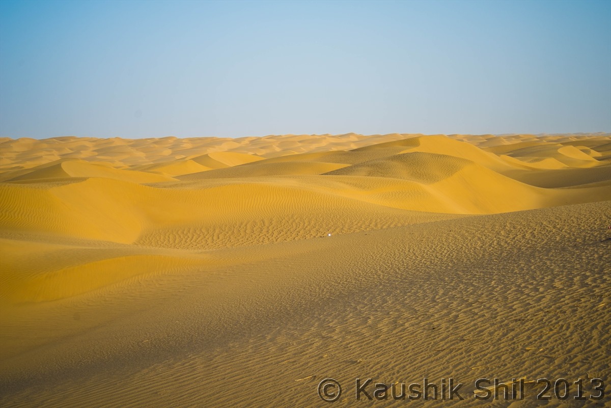
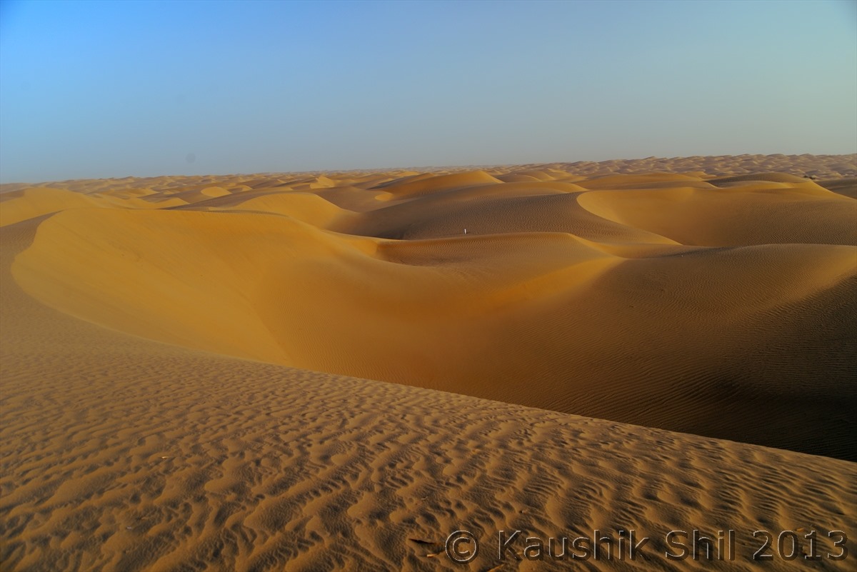
Mighty Taklamakan (Ocean of Sands, Taklamakan is world’s second largest Desert after Sahara)
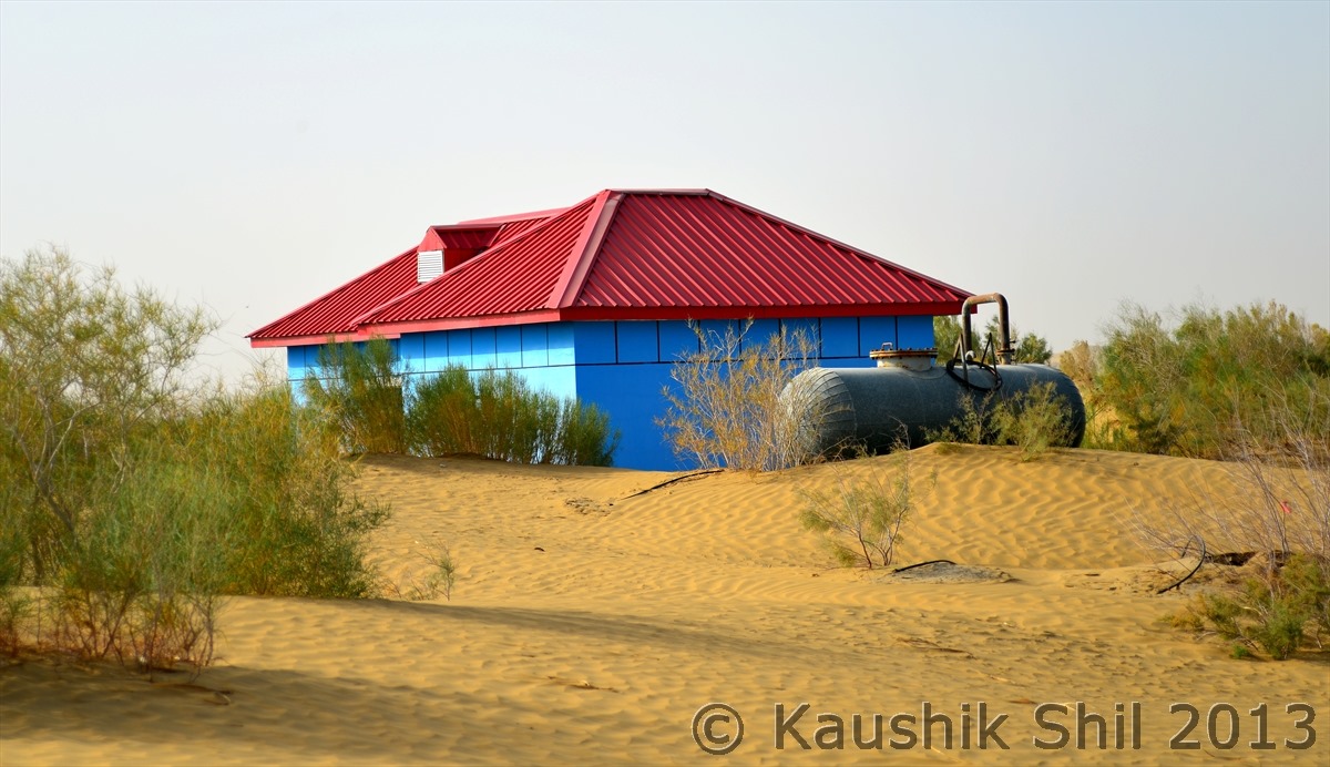
One of the 100 water well and pumping station built in every 5 km apart through this 522km road to save the green line beside the road to protect it from sand:
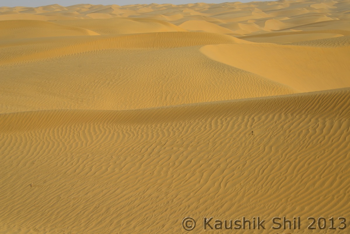
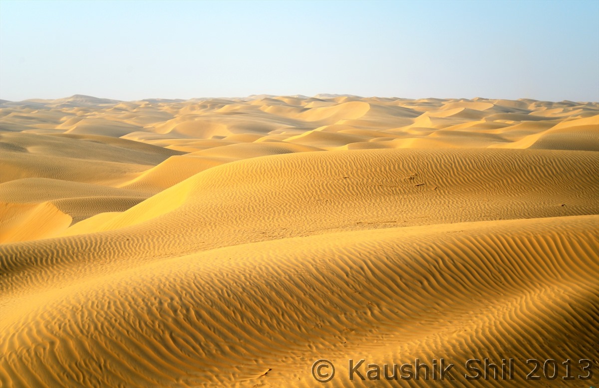
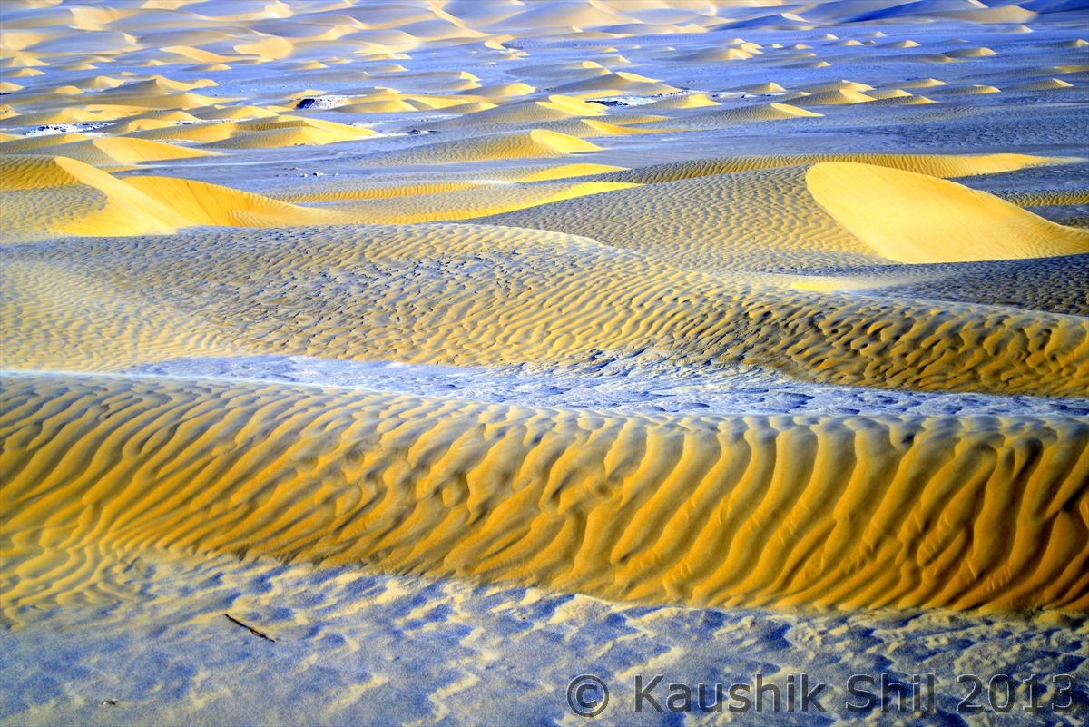
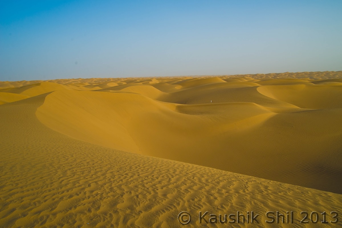
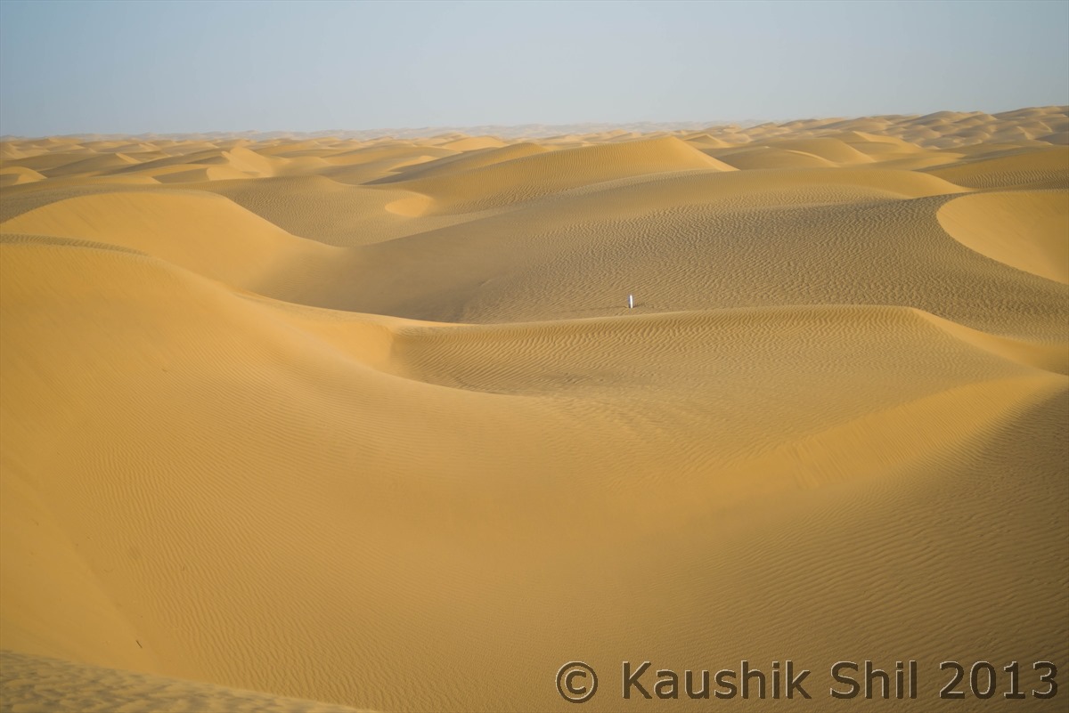
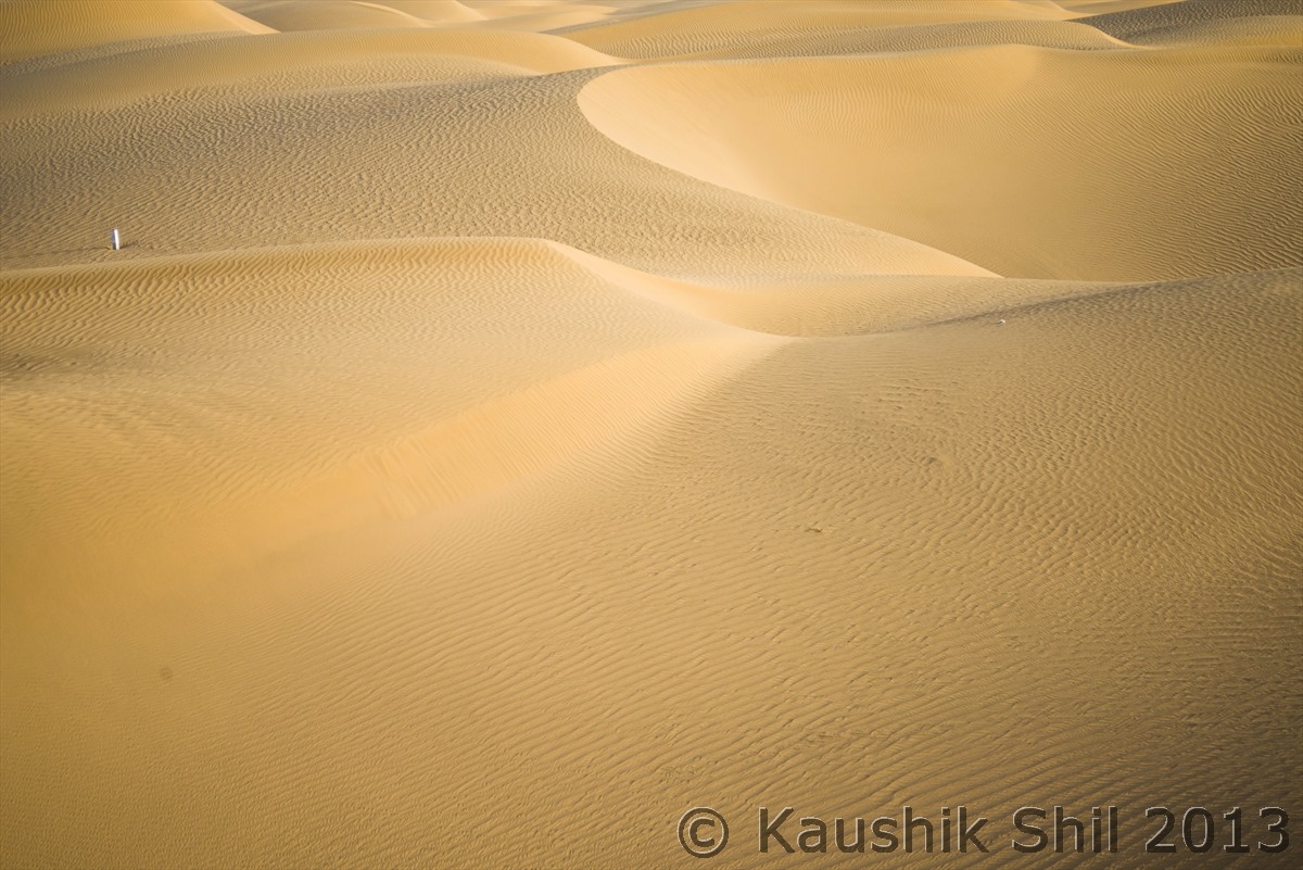
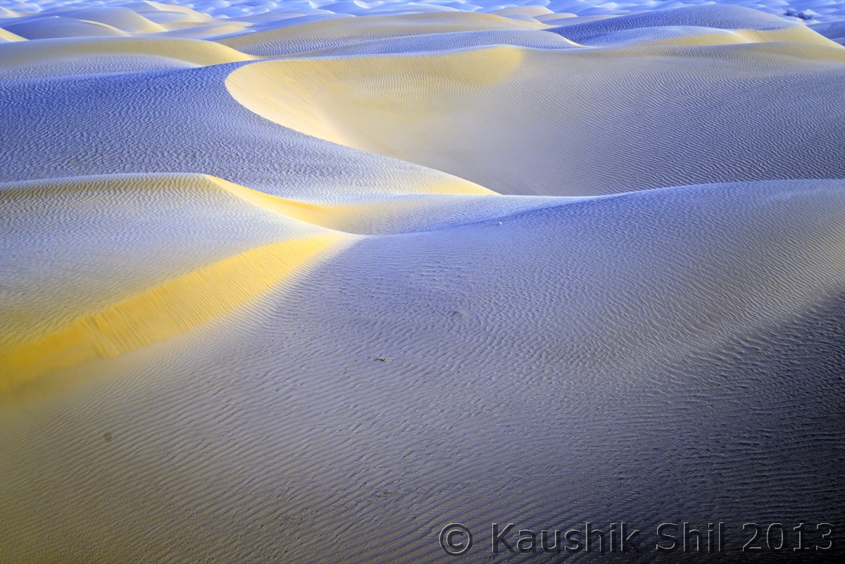
The amazing Dunes of Taklamakan, be it size, shape, colors, textures, grandeur it would keep amazing you:
The famous Tarim Highway crossing the mighty Taklamakan Desert – Note the Green Belt in 3 rows in each side of the road to protect it from shifting sand of fiercest Desert – This is a pleasure to drive deep into a 522 km pure desert highway!!
Previous: Day 9
Next: Day 11/Part 1
