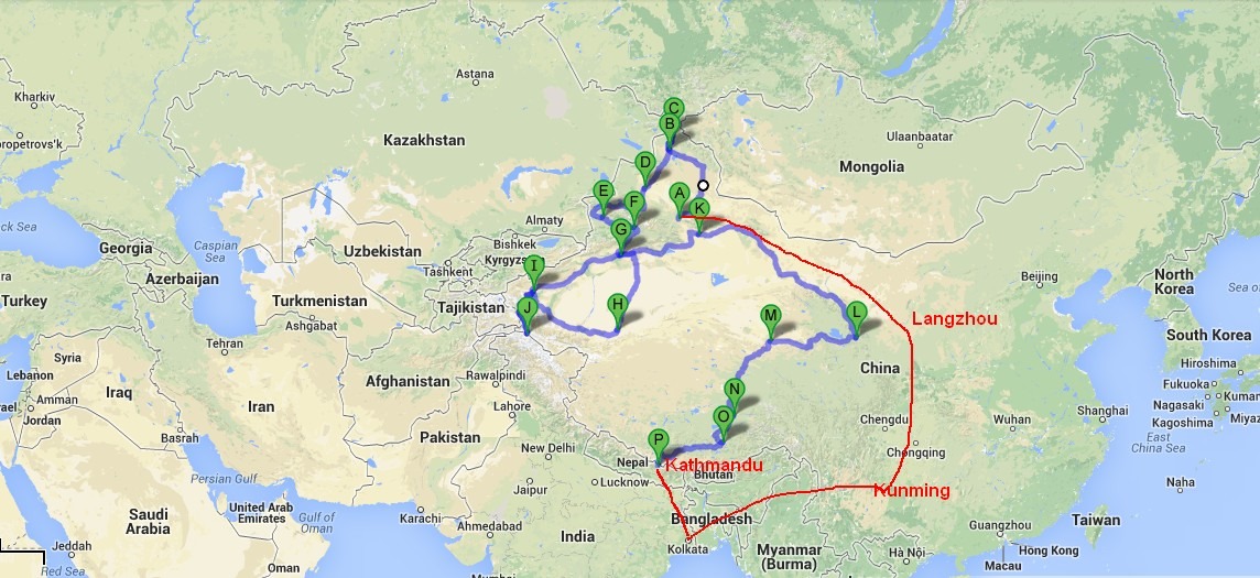
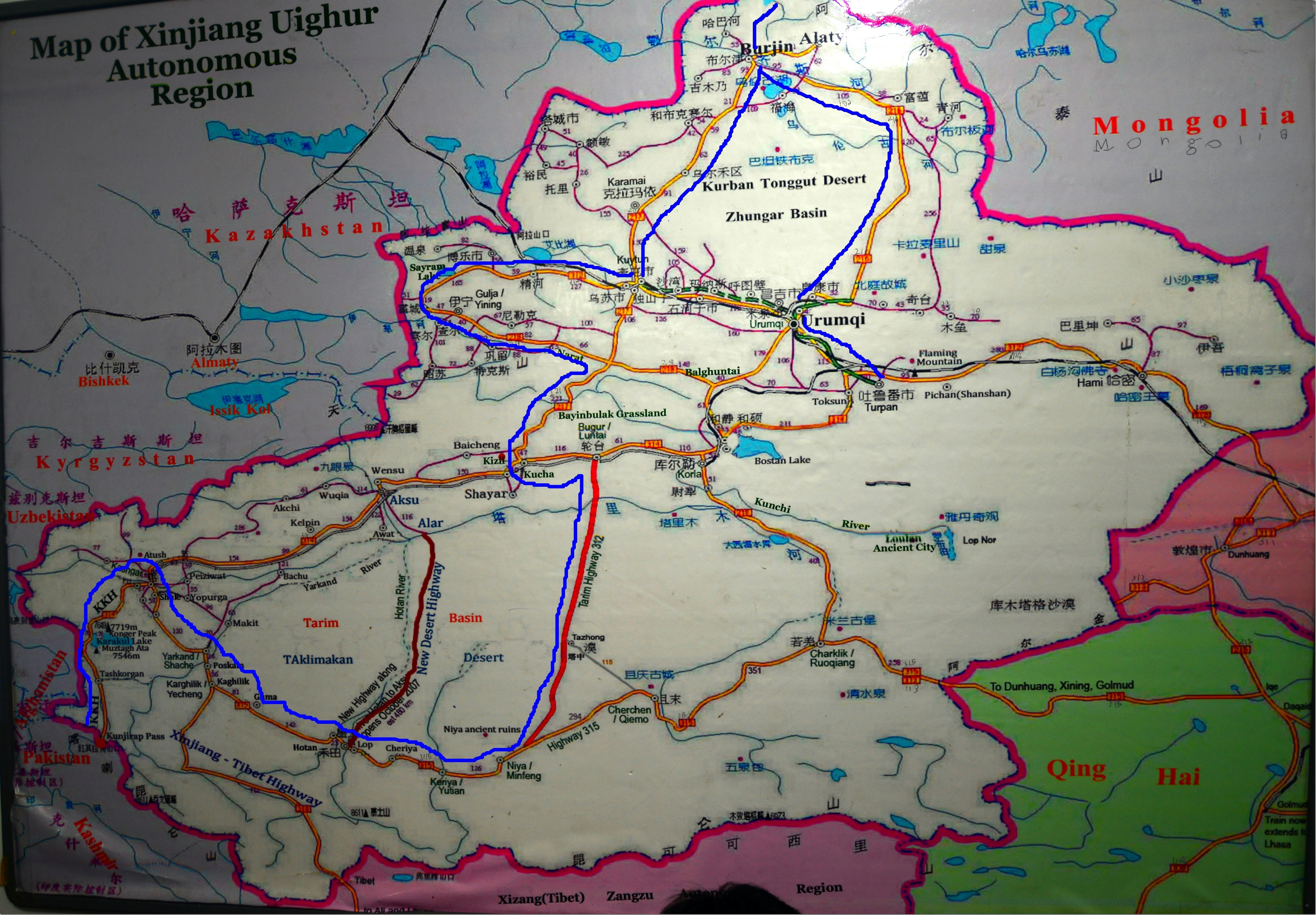
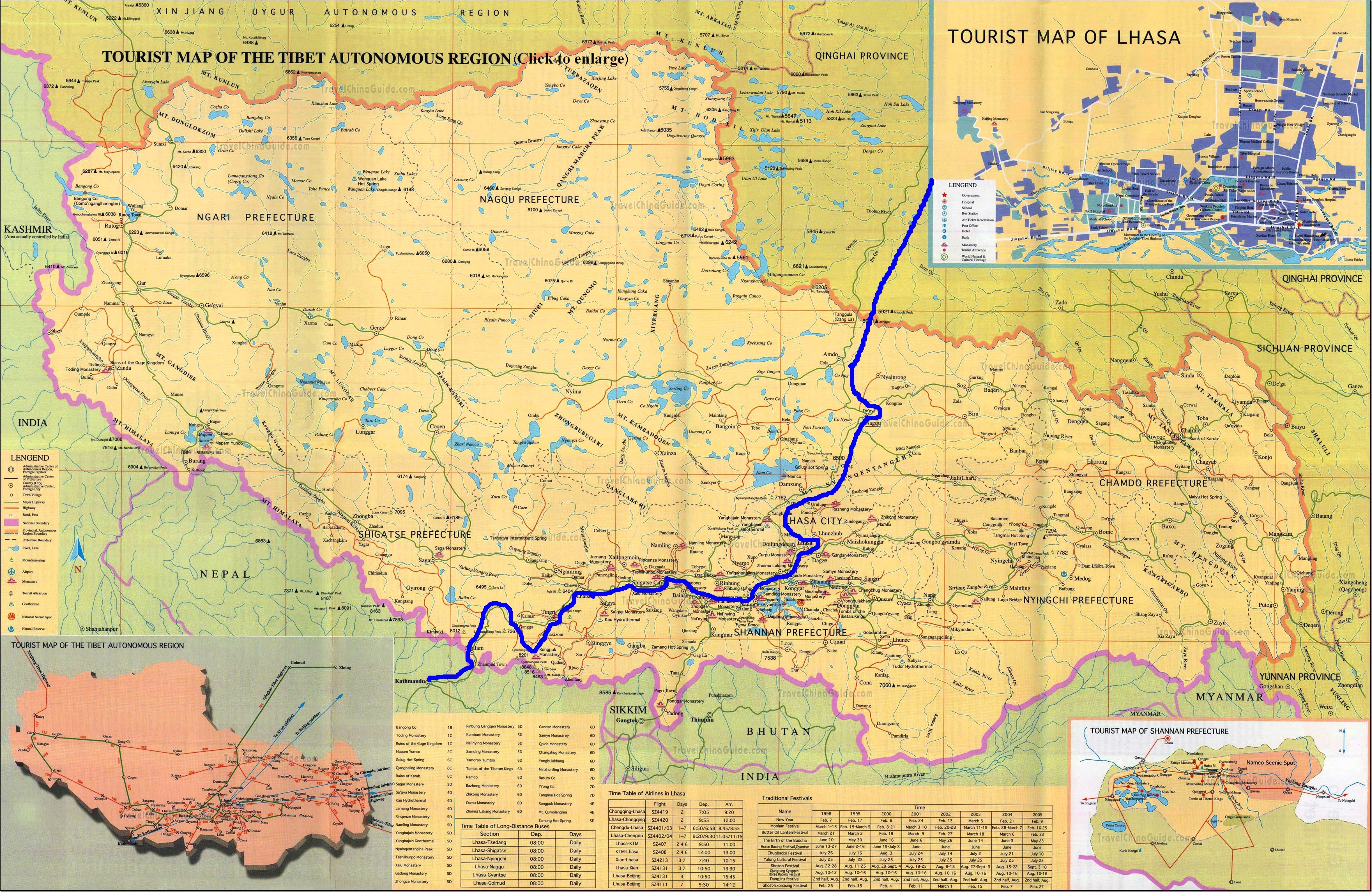
This is an important part of any planning to this region, China is a very much controlled state and information is few and far, also getting latest yet correct information is quite a big challenge even for big travel agents. So whatever I am writing here is current regulation as on Sep/Oct 2013 which might get changed anytime (during my preparations in this year itself rules change several times), take an idea but do your own research before taking this trip. Best way is to connect as many as local travel agents (who can speak at least some English) and then use their network to get more details about that, it is time taking and plan your travel accordingly.
Let’s first see Xinjiang:
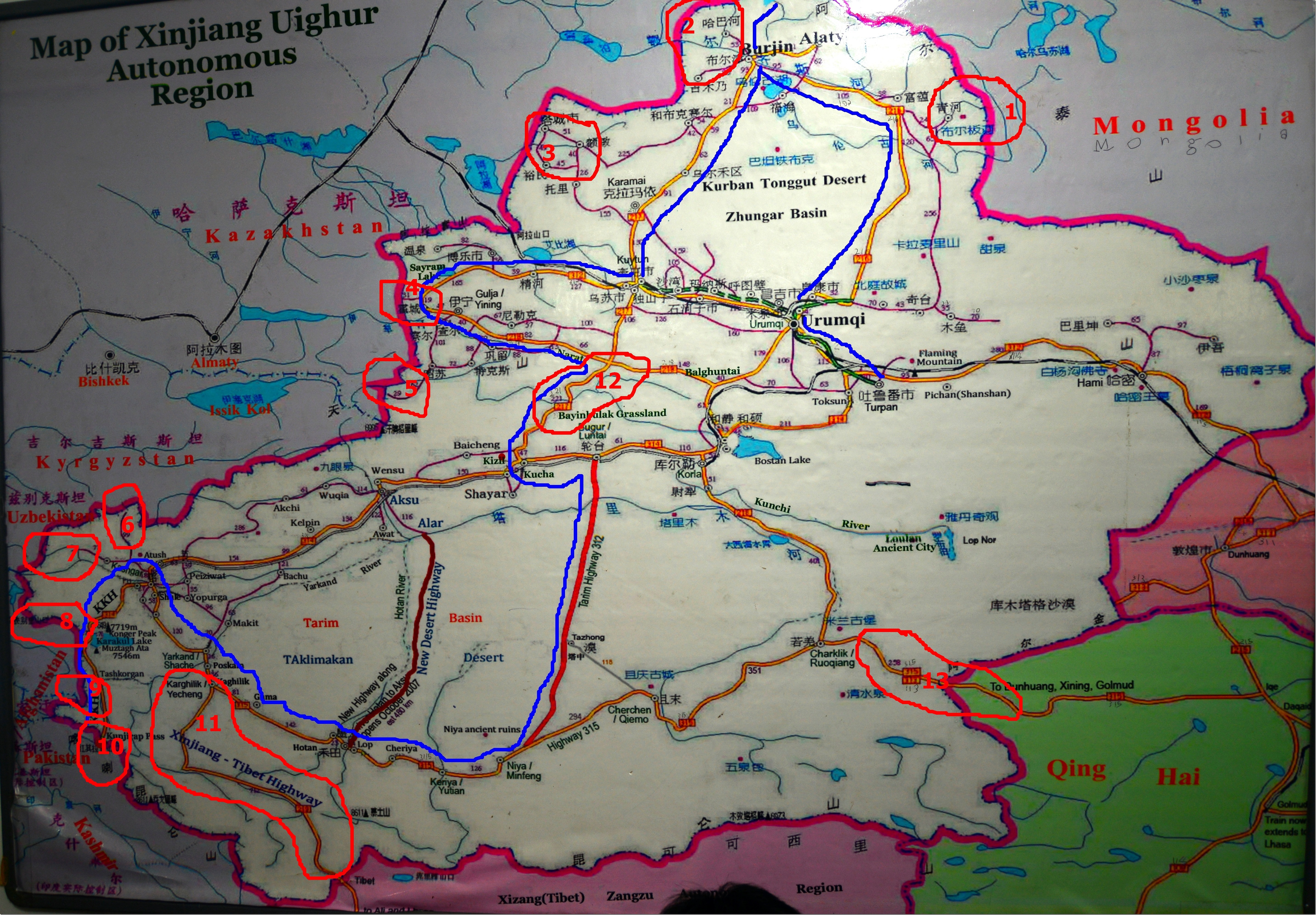
A state with 8 international borders must have complex restrictions, refer to be the same photograph again, and see the red marked areas with number marked (that I am going to refer below) where you need some kind of permission / fulfill some formalities before you start. Most of the land border crossing is only operational during week days and in certain hours and you need to keep in mind local time too (Kazak and China is having 3 hours time difference)
1.Takashiken (China) / Bulgan (Mongolia) Border Crossing – Since 2011, this border is opened for 3rd country tourists to cross over, easier logistically if you cross from China to Mongolia, no visa on arrival, you must have respective country’s visa before you are allowed to border post, public transport available in China side to reach there. Vehicle crossing permitted with appropriate regulations to be followed in both end.
2. Habahe County / Baihaba Region : They say it’s one of the most wonderful fall colors you can witness in this region with best mountain scenery of Altai but it’s fenced border with Kazakhstan and completely closed for foreigners. There is no formal border crossing here.
3. Maikapchagai (Kazak)-Jeminay (China) – This Kazakh border is open for 3rd country tourists to cross over but no vehicle crossing permitted.
4. Dostyk/Druzhba (Kazak) – Alashankou (China): – Open for 3rd country and this is the rail road crossing as you might be aware now trains connect Urumqi to Almaty, if you take train expect long delay here (like trans-mongolian rail) as china and Soviet railroads use different gauges, and the wheels of the train need to be changed.
5. Khorgas – The largest and busiest border crossing between China and Kazakh, open for 3rd countries, neither of the above does allow vehicle crossing as far as I understood, most Europeans thus choose to cross to China from Kyrghiz specially those in a driving trip.
For all of 3, 4 , 5 you will be allowed close to immigration town even if you don’t have a visa of Kazakh in your passport but of course there is no chance of cross the border without visa, no visa on arrival.
6. Torugart Pass between China and Kyrghiz – Restricted crossing but opened for foreigners and need to take special transport from Kyrghiz Immigration to Chinese immigration or vice versa and in both side you need prearranged transport with adequate proof. I heard this crossing is costly takes around 550 USD. Vehicle crossing possible with usual Chinese Vehicle crossing restrictions. Presently road is good in Chinese side.
7. Irkeshtam Pass between China and Kyrghiz – Cheaper crossing as you can use public transport to border to cross unlike Torugart. Opened for foreigners, Chinese side 250km road is in very bad shape, supposed to be rebuilt and ready by 2015. Vehicle crossing is allowed with usual restrictions.
8. Qolma Pass Crossing between China and Tajikistan – Not opened for Third Countries (only opened for Tajik and Chinese Nationals) but if opened it will be one of the easiest route to to Europe – Asia Drive with minimum number of border crossing.
9. Wakhan Corridor between Afghanistan and China – At historic Wakjhir Pass (4900 mtr) this is difficult pass and Marco Polo crossed China through this, this is completely closed border, though China has finished a metallic road up to the border, in Afghanistan side there is no infrastructure as of now for next 100km. During battle with Taliban, NATO wanted to use this route for their supply lines as this area is relatively free of the strong hold of Taliban but Chine declined it showing internal security concern. This is sharpest official change of clock of 3.5 hours between any land border in world.
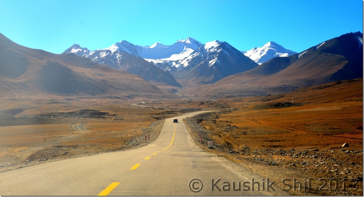
10. Kunjerab Pass between Pakistan (Pakistan Occupied Kashmir) and China : Highest paved border crossing in world, at 4700 mtr, this pass is closed between 30th Nov to 1st May every year due to snow. When opened, due to inhospitable terrain, the actual immigration happens 130km away at Tashkurgan in China and 75km away at Sost in Pakistan. You need to board the bus between Kashgar to Sost / Gilgit to cross this border as vehicle crossing is not allowed. With a special pass arranged from Kashgar, foreigners without Pakistan Visa can travel up to 2km of actual border gate (shown in the picture I posted earlier)
11. No International Border (Actually the border with India) but more sensitive to China than any of these international border as Western Highway 219 crosses Aksai Chin which is claimed by both India and China. World’s highest and remotest road is strictly barred for foreigners without escorted guide, driver in a rented land cruiser. Some foreigners get special permit to drive through this epic road which became now much more difficult after 2008 Tibet uprising and for Indians this road from Mazar (150km from Karghilik from where K2 North Base Camp Trek starts) to Rutog is completely prohibited. Police even keep watching every tourist staying night in Karghilik to watch is someone tries to sneak into this road by hitch hiking in a truck.
12. Centrally Located Narat – Bayanbulak Grassland region – No apparent reason why this is protected but unofficial sources said this is sensitive for Military installation and permits are required to be obtained from CIT (China International Travel, Xinjiang) for any foreigner to stay night in this region. This is year I heard this is little relaxed but even last year people were simply thrown out of the town in middle of night during police checking in the hotels when found without permit.
13. The actual remote off roading paradise between Xinjiang and Tibet via Qinghai, Highway 219 is historical and deadliest paved highway but if you want sheer 4X4 adventure this is the road for you that starts from Charkilik and goes till Golmud and then connects Lhasa highway, but almost impossible for foreigners to access as you need a lot of permission and in many places enroute you won’t get a place where foreigners are authorized to stay, so you have to spend your night under the sky literally.
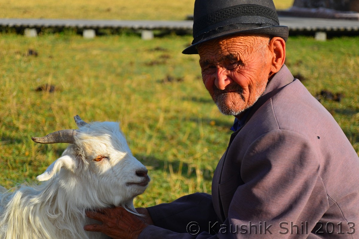
Kazakh man with his pet – at Narat :
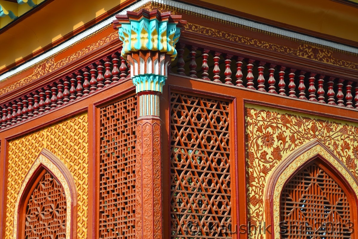
Yarkhand Tomb:
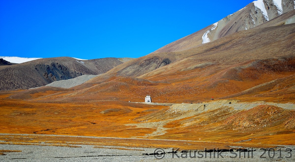
That’s the border gate between China and Pakistan, at Kunjerab Pass – A long born dream Accomplished
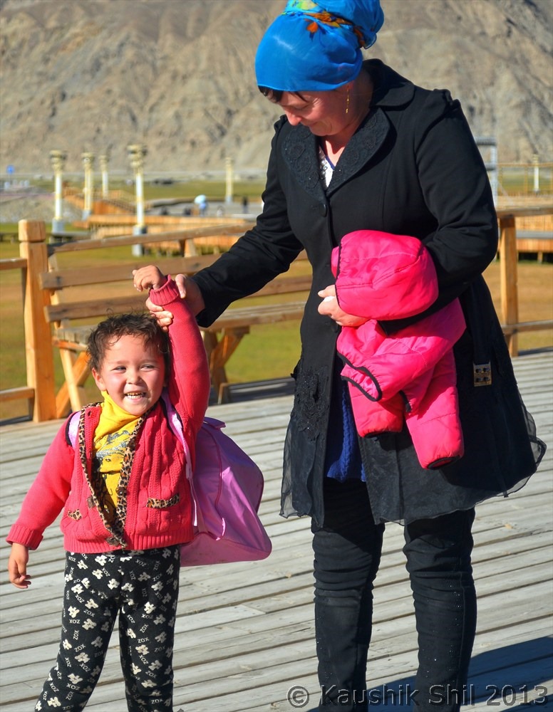
Tajik Mother and Kid:
Now let’s come to Tibet:
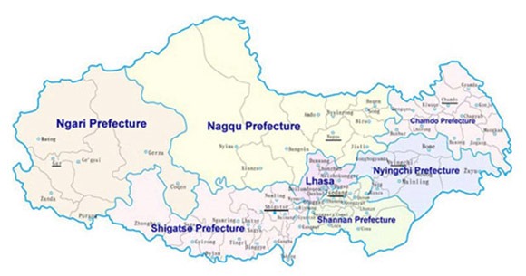
See the below pic, Tibet Autonomous Region (TAR) is having 7 administrative prefectures:
1.Lhasa – You need Chinese Visa and separate Tibet Permit for which rule changes frequently.
2. Shigatse – Outside Lhasa, in any prefecture you need Chinese Visa, Tibet Permit and on top of that Alien Permit (Issued by PSB, Public Security Bureau). Everest North Base camp comes in this prefecture and you need a separate and costly permit to go there.
3. Shannan – Same as Shigatse
4. Nyingchi Prefecture – Completely different, called Tibet’s Switzerland it’s lush green and resembles close to Arunachal and this have a long disputed border with Arunachal. Need Army Permit, Sensitive Border Permit and Foreign Affairs Permit on top of what you need for Shigatse and Shannan. The famous Tsangpo Gorge considered as world’s highest waterfall (where Tsanpo River drops several meters before being Siang in Arunachal and Brahmaputra in Indian Plains) is still a big mystery for many is located here. Not at all easy to get into Tsangpo gorge zone from permit perspective. For Indians it’s almost impossible to get access deep into this prefecture.
5. N’giri Prefecture – This is Western Tibet, landscape wise more close to Ladakh and Changthang Plateau in this part is equally attractive as we see a small glimpse in Indian side, more famous for Mt Kailash and Mansarovar. For foreigners permit requirements are same as Nyingchi Prefecture. But for Indians, it’s completely restricted and out of bound unless you come as pilgrim to visit Mansarovar and Mt. Kailash. India Pilgrims are offered separate kind of permits and handled through a body called CIPSC (China India Pilgrims Service Center). Only 3 Travel agents in whole Tibet are eligible to apply Pilgrim permits for Indians in Ngiri through CIPSC. All the Nepal based operators are connected through them only and any India based agent is mostly connected through one of those Nepal based agents. So with different layers of agents Manas – Kailash travel becomes so costly but it’s not cheap either if you directly approach CIPSC, they charge permit cost per group and hence usually agents take bigger groups (sometimes unmanageable though) to this Yatras. CIPSC is have jurisdiction from Lhasa to Ali and hence they won’t arrange your trip, if you want to come from Kashgar and also they won’t be able to arrange other permits like EBC, even though you find it logical to visit EBC on the way to Manas/Kailash. If you approach any Lhasa based agent, 95% of cases they will express their helplessness when you tell you want to visit Ngiri and holds an Indian passport.
6. Nagqu Prefecture – The vast grassland in North, best way to see them to take the train, road is very limited and most of the part of this prefecture is closed for foreigners.
7. Chamdo Prefecture – Since the uprising of 2008, this area became most politically sensitive and closed for foreigners since then, with Chamdo’s closure, any overland travel to Tibet from Sichuan (Chengdu) or Yunan (Kunming) are now closed for foreigners, no one knows if they will reopen again.
So before any planning, keep your thumb rules ready, Xinjiang is possible with some tweaking in visa application, Tibet is your luck and Ngiri and Nyingchi is almost impossible unless you are extremely lucky. (As I wrote N’giri visit for Indians mean basically Manas – Kailash and a defined route but freely roaming in N’giri and explore this most exciting prefecture is still a dream for Indians)
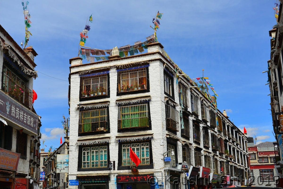
Old Lhasa Town :
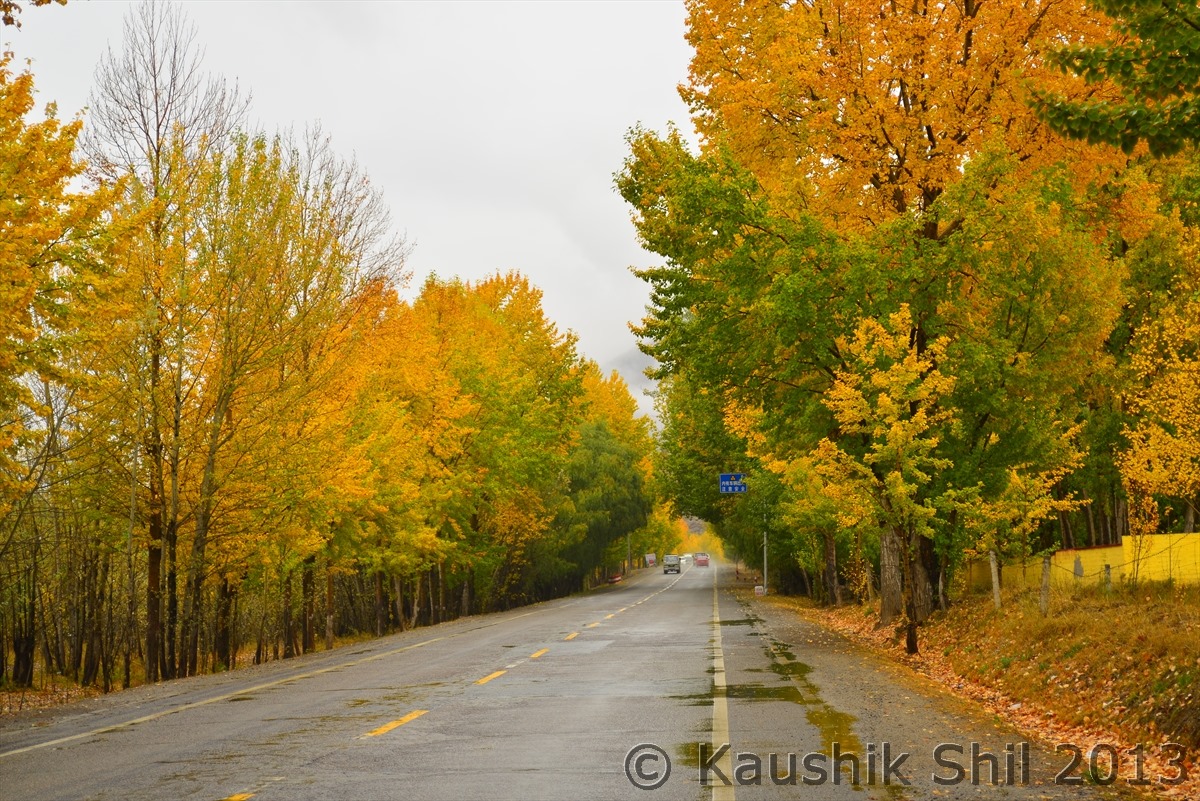
The amazing Fall colors around Lhasa:
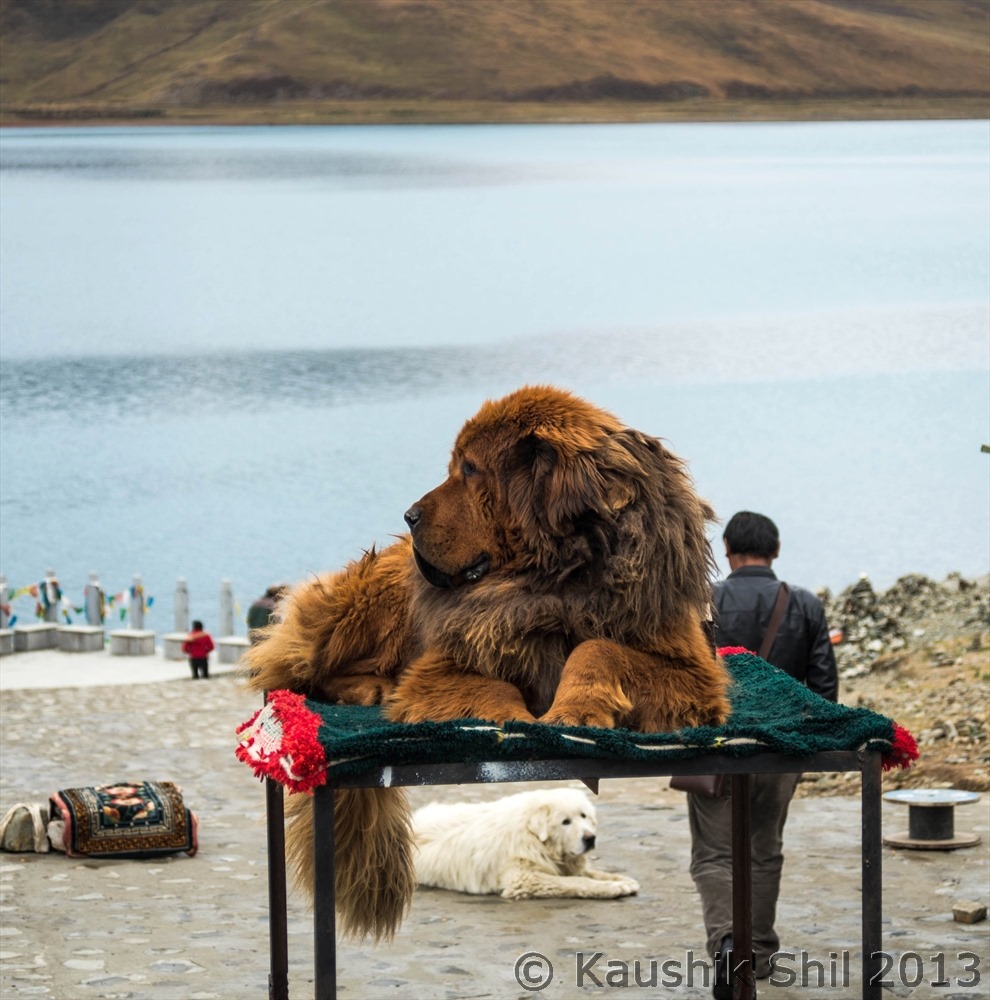
Is there any dog which is bigger than this Tibetan Mastiff? I don’t know, but paying 10CNY (Rs 110) you can take a snap with this one:
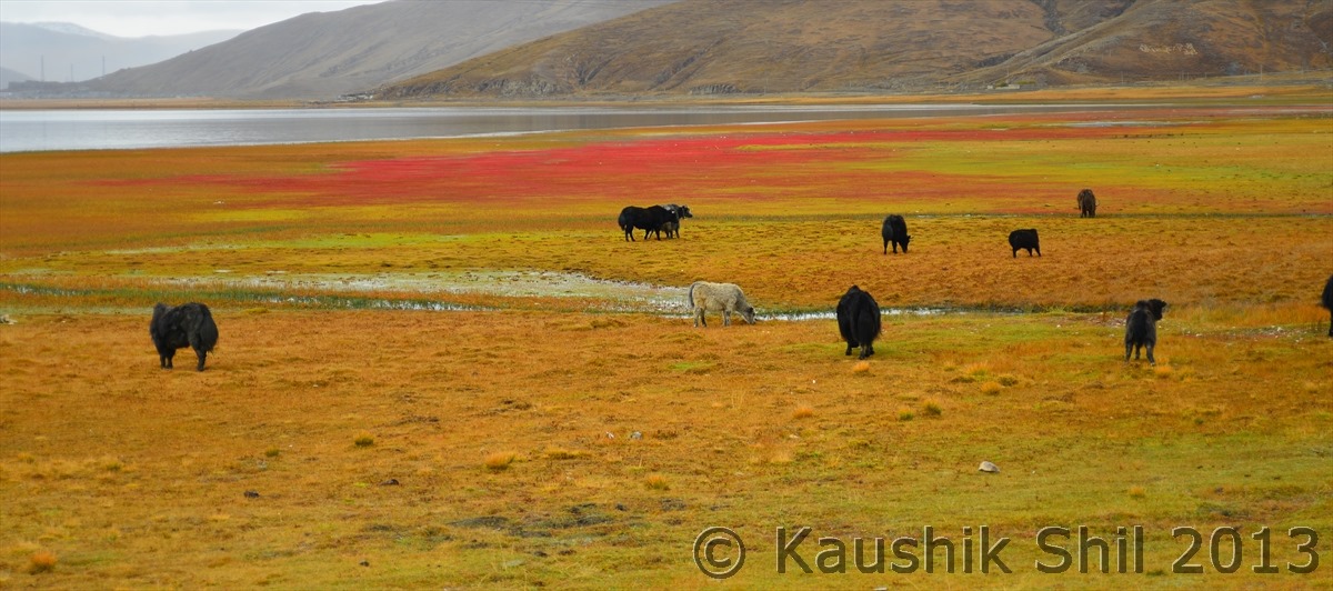
Grazing Yaks are one of the typical landscape of Tibet:
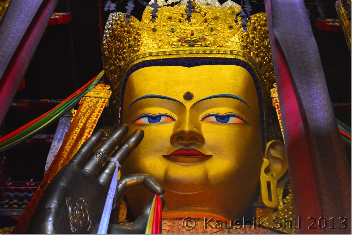
Maiterya Buddha at Tashilunpa Monastery, Shigatse:
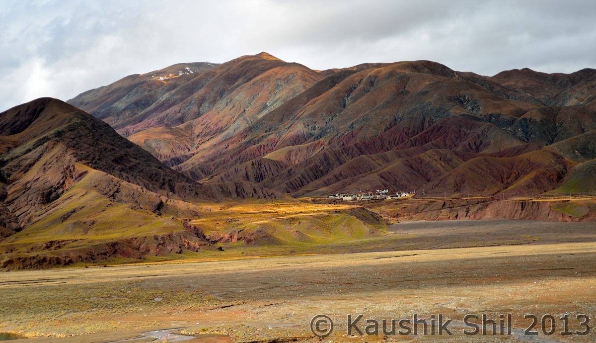
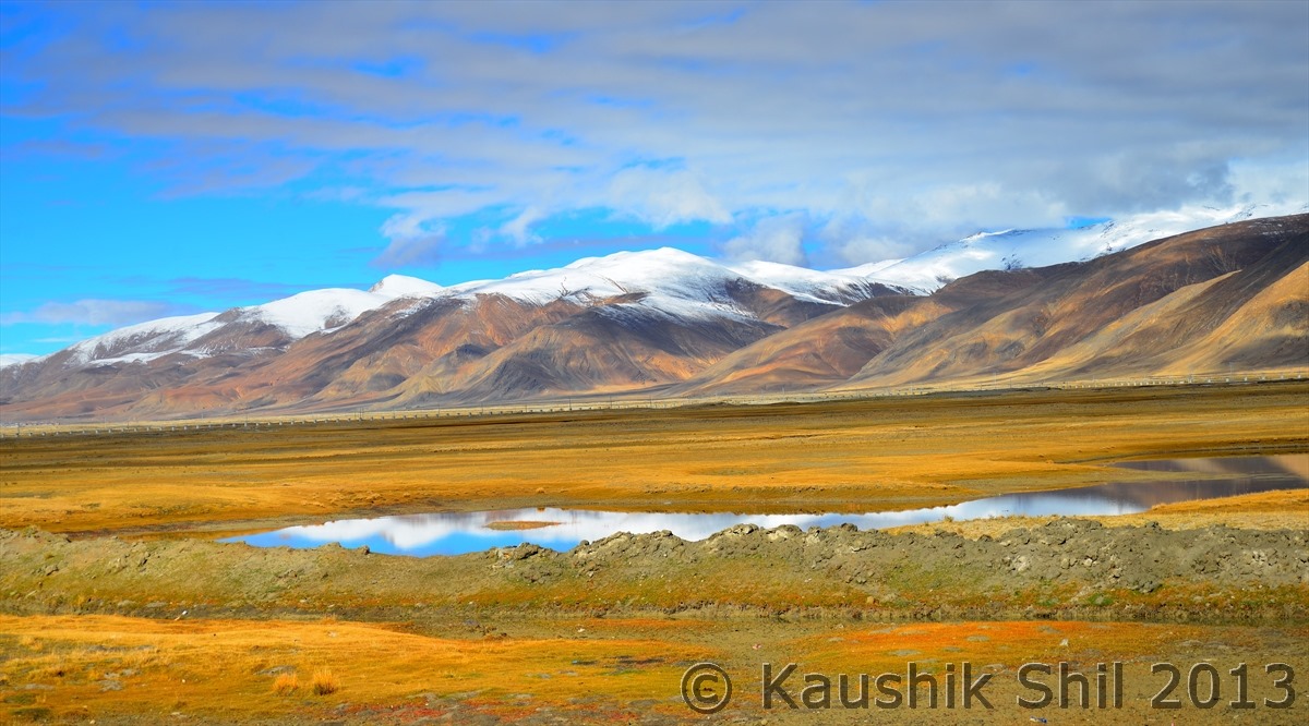
Landscape beacons:
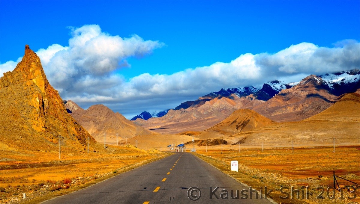
The Landscape around Friendship Highway will amaze you:
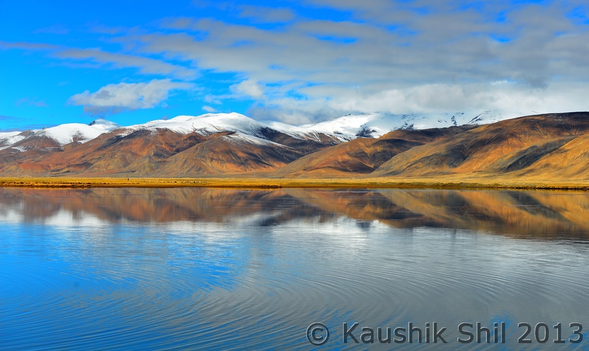
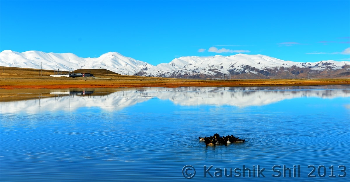
Reflections are abundant :
Previous: Route Overview
