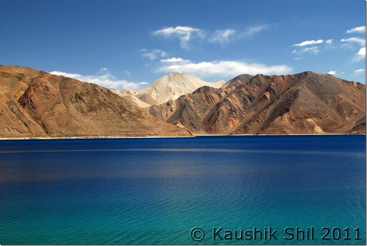
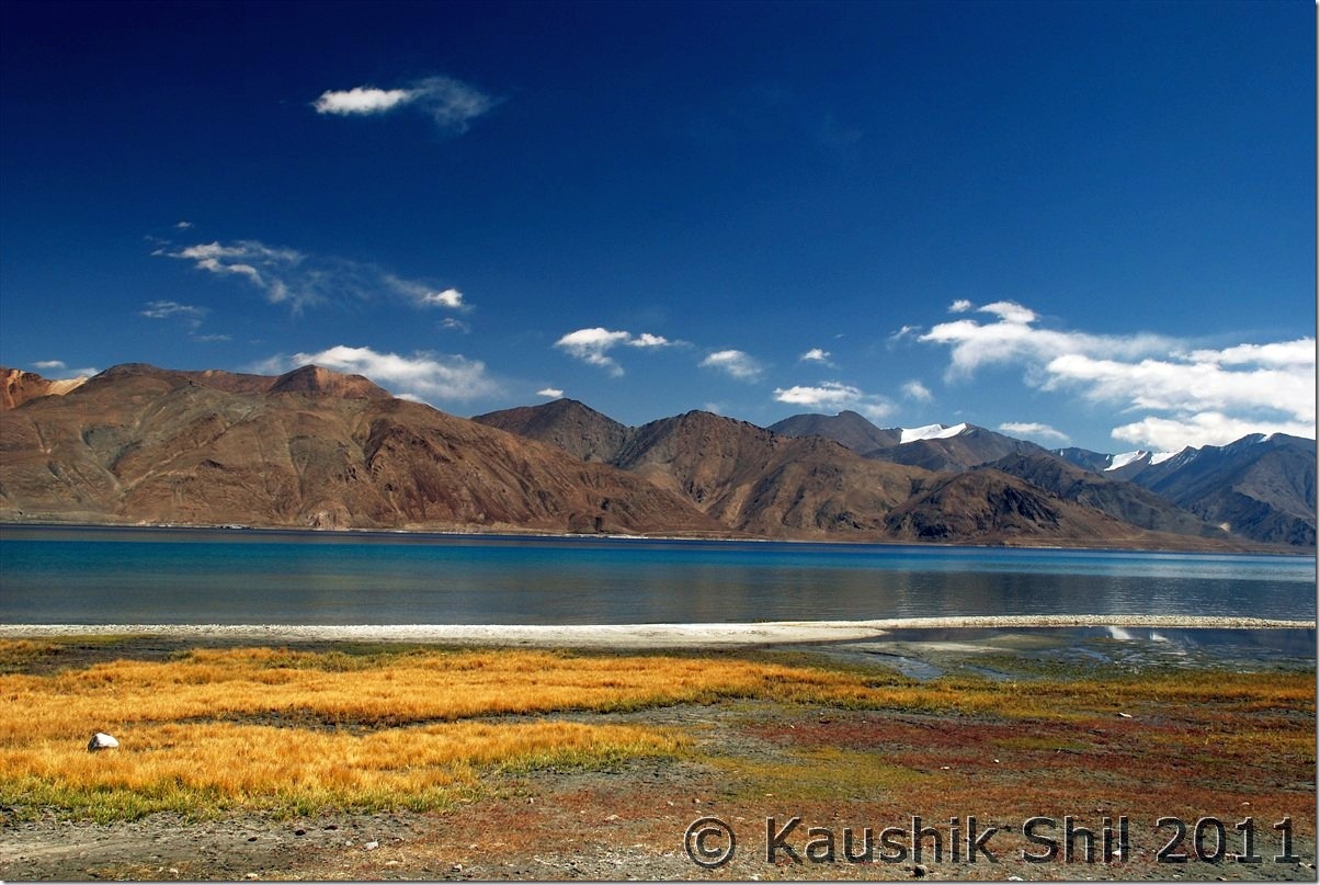
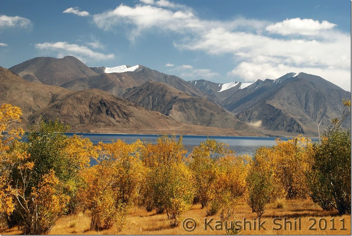
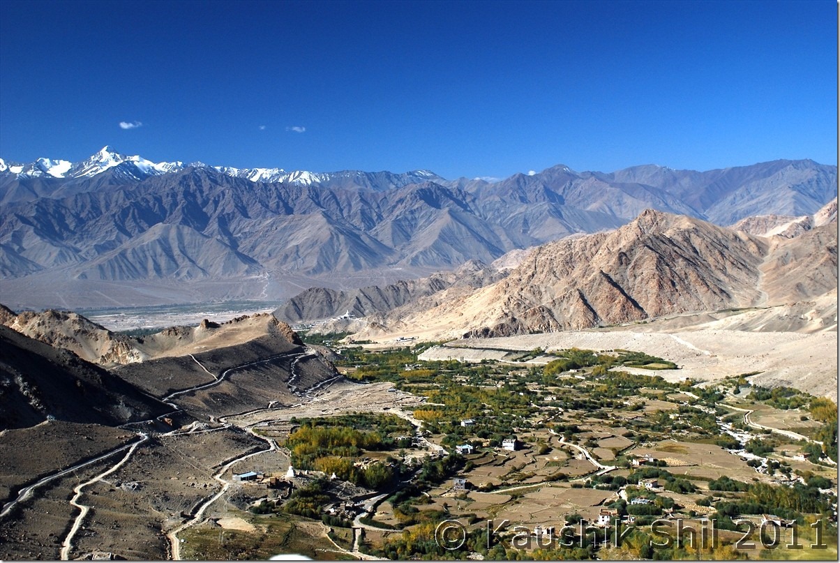
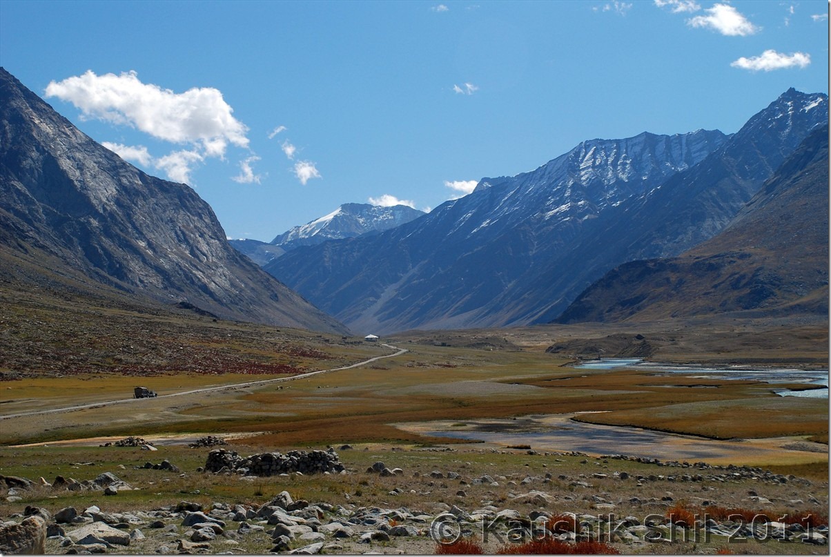
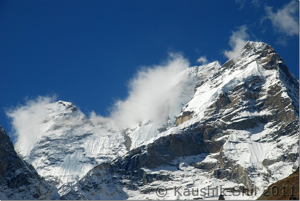
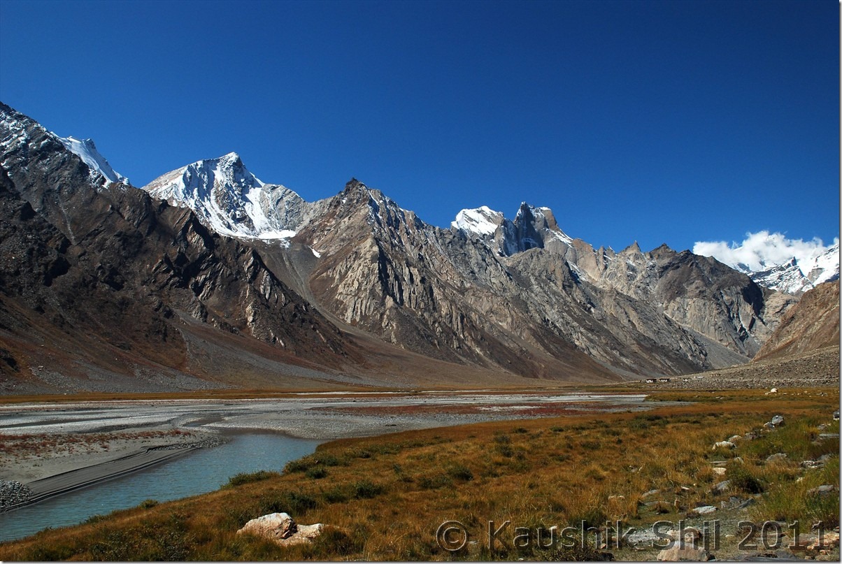
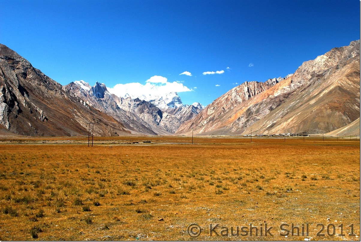
Ladakh – Journey Ends at Leh and Flight Back Home

7th and 8th October:

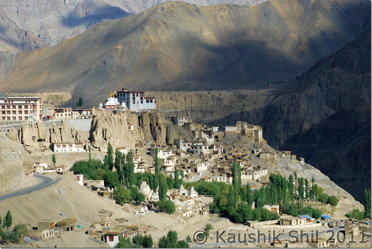
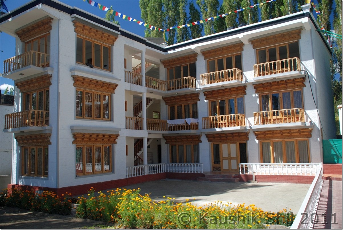
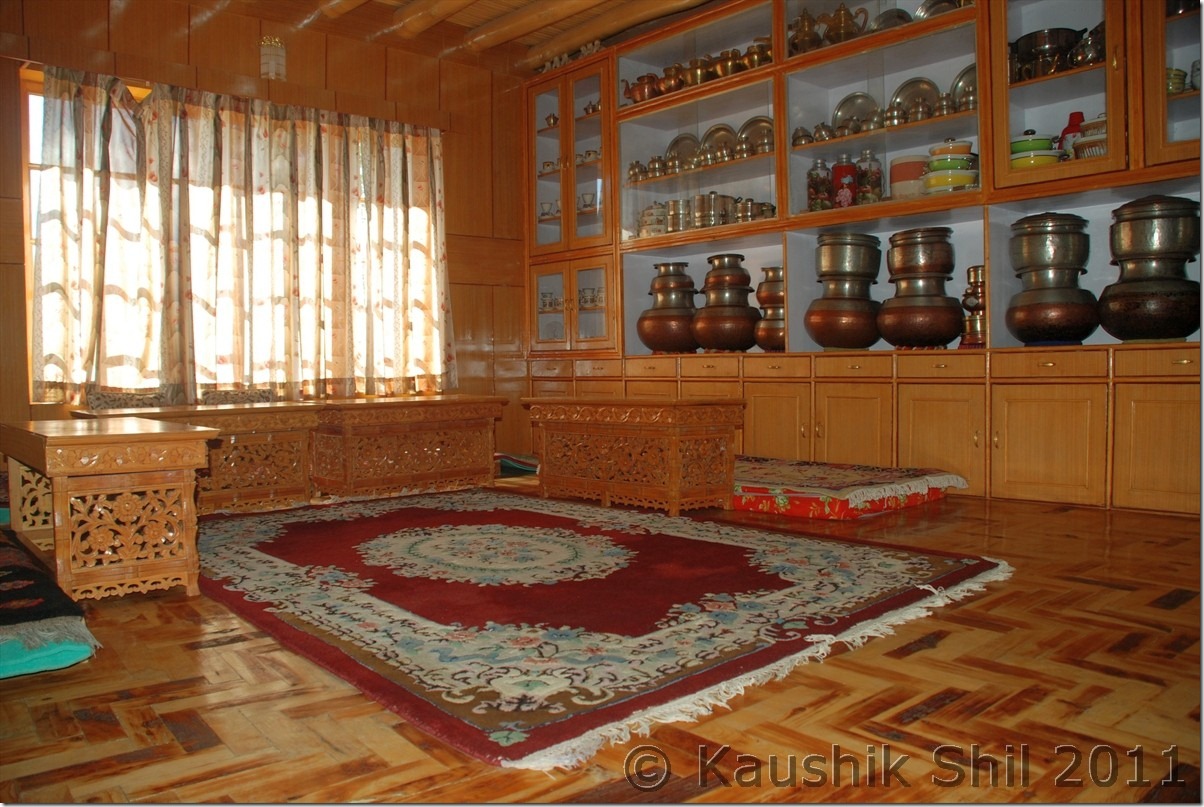
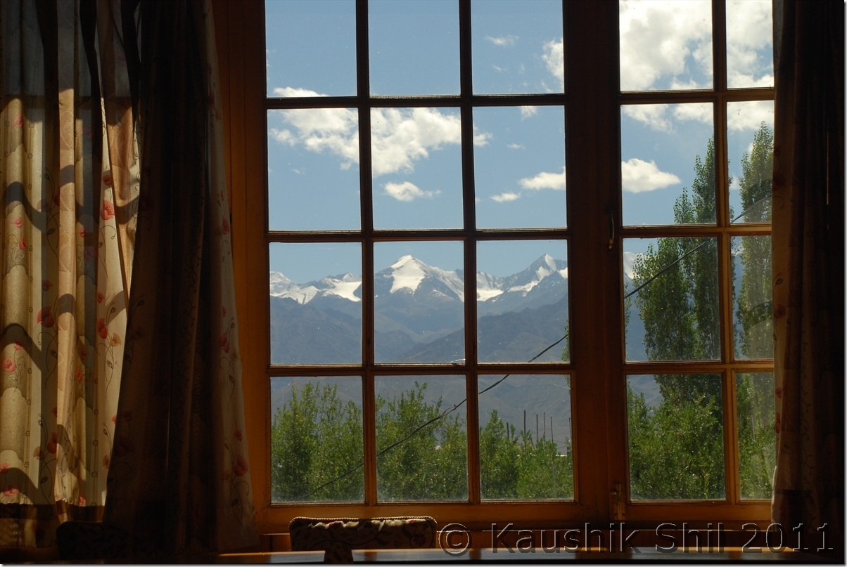
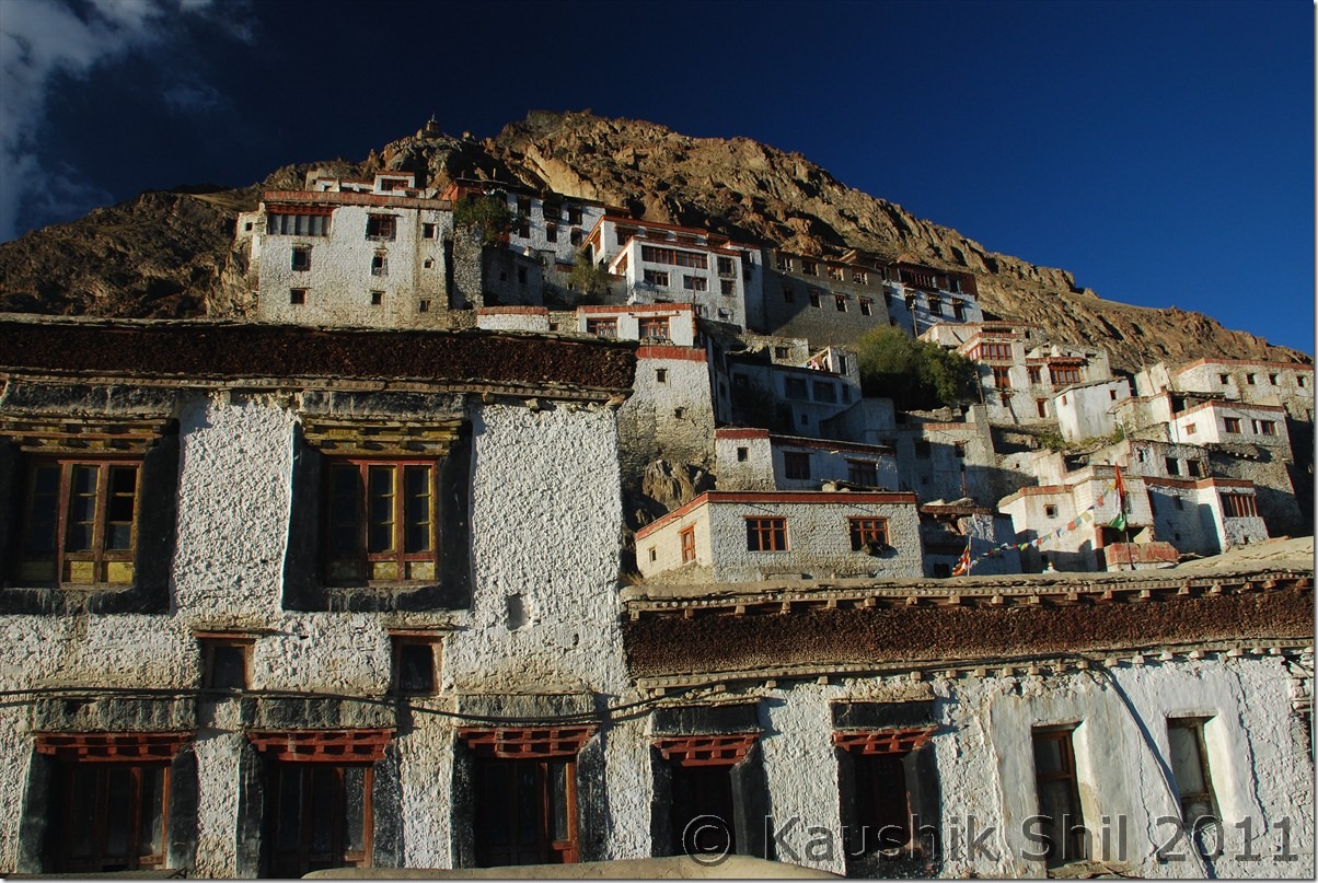
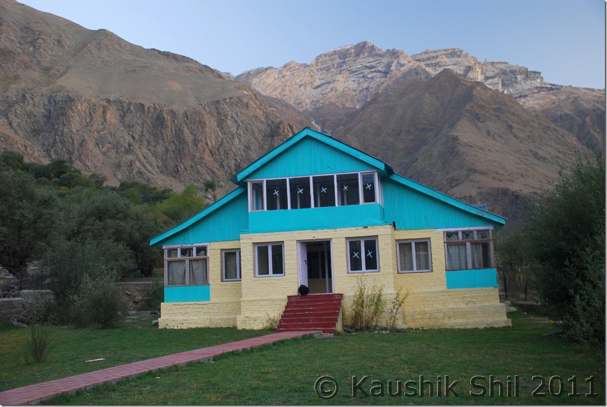
Full rest at Kidar, a GH run by Mr. Angchuk who works for All India Radio and his wife and son Jigme who works for Jet Airways. The GH is highly recommended for stay with nice garden and clean and spacious rooms within 800 mtrs from market. Not a busy place and you can enjoy the unhindered view of Stok Kangri from the terrace. The family is very good host and they are expanding a new block which is yet to be ready completely. Jigme helped me to block right hand windows for my return Leh-Del flight in Jet which was otherwise not possible as Jet doesn’t allow web check in for PNRs with kids.

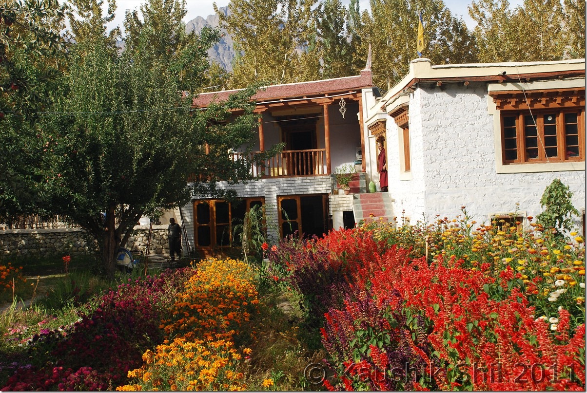
The garden at Kidar GH:

DSC_30302

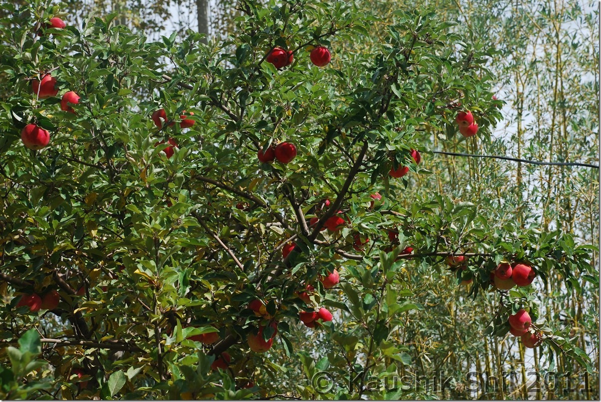
The Apple tree at Kidar GH:

DSC_30310

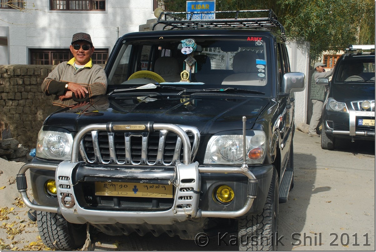
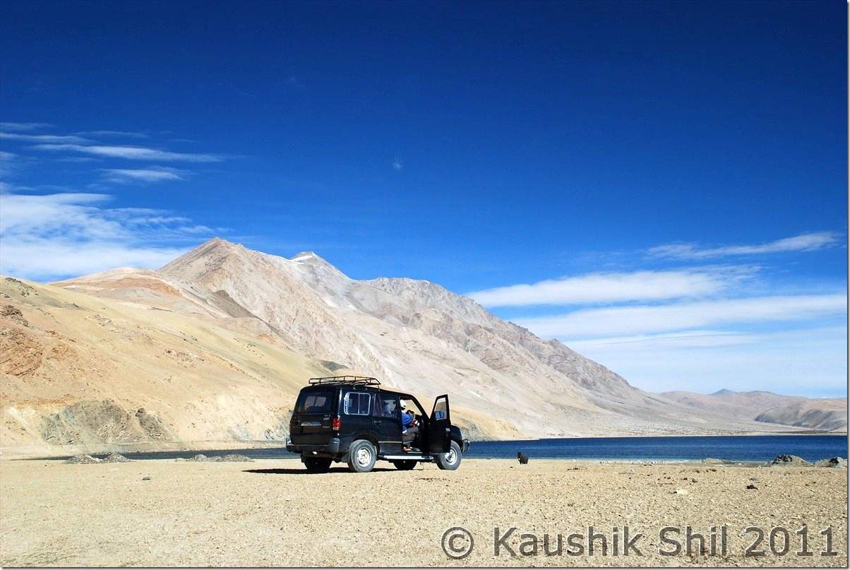
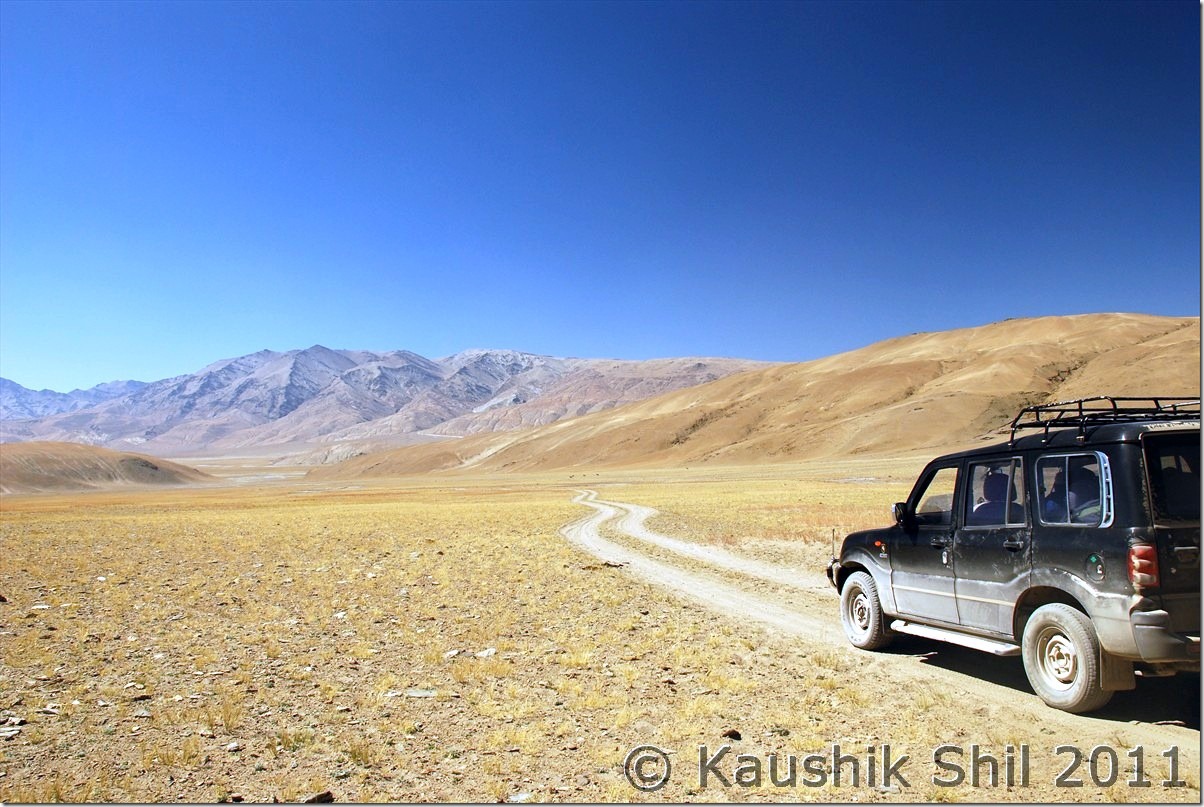
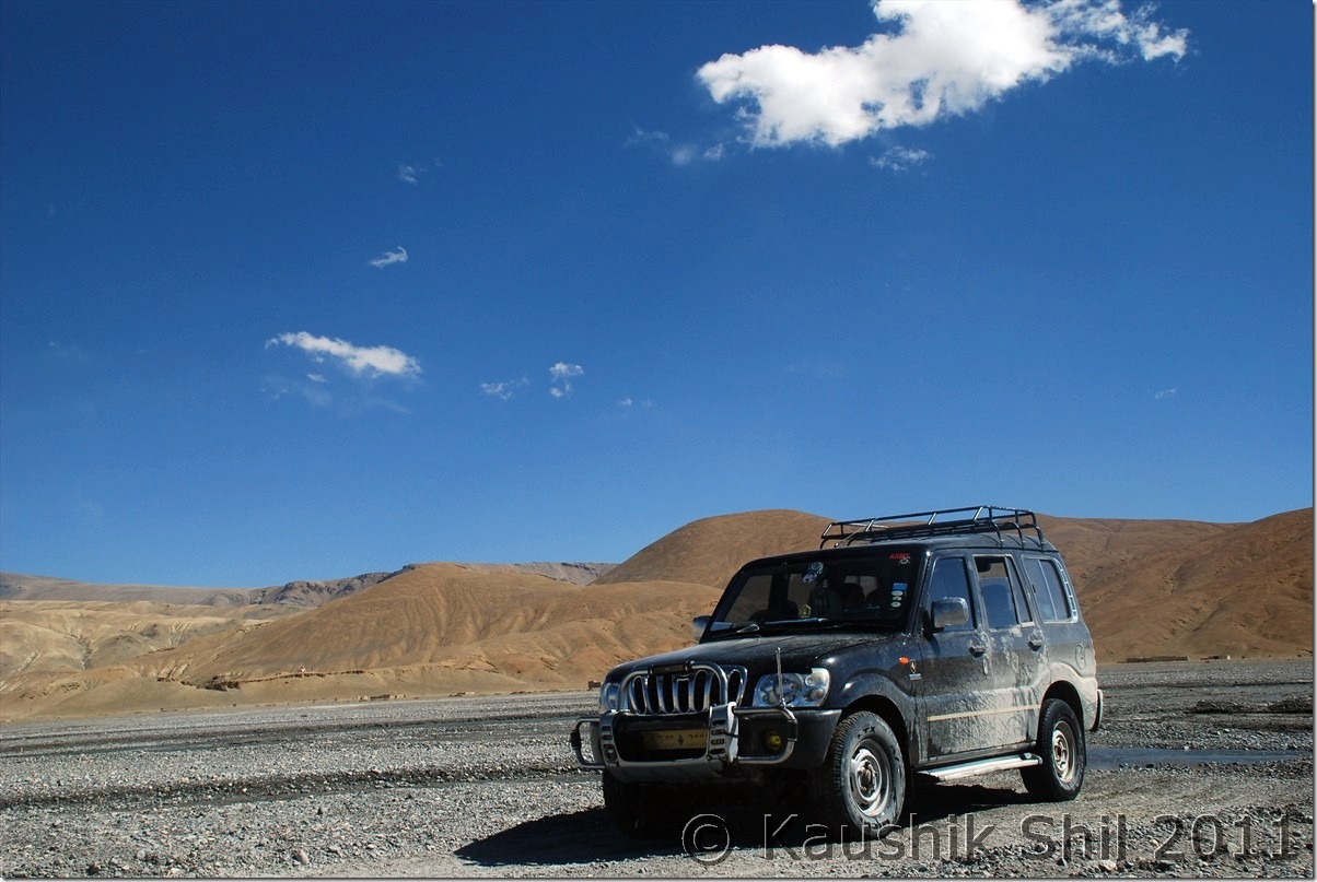
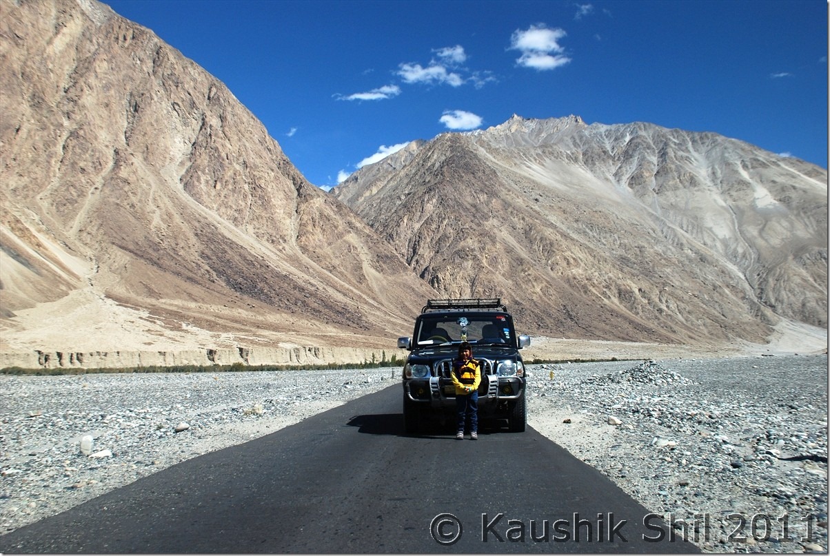
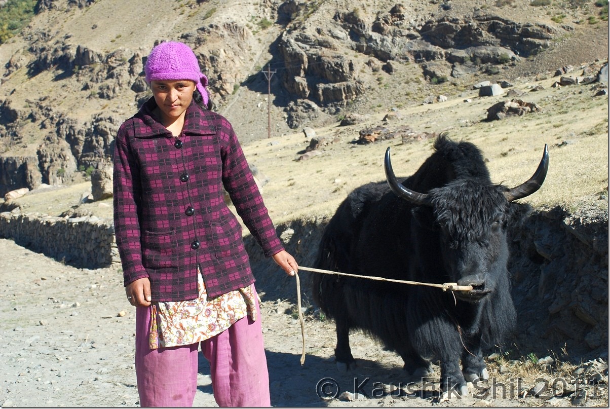
Regzin and his machine, without him the trip was not possible:

DSC_30320

9th October:

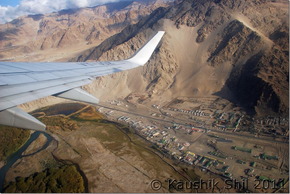
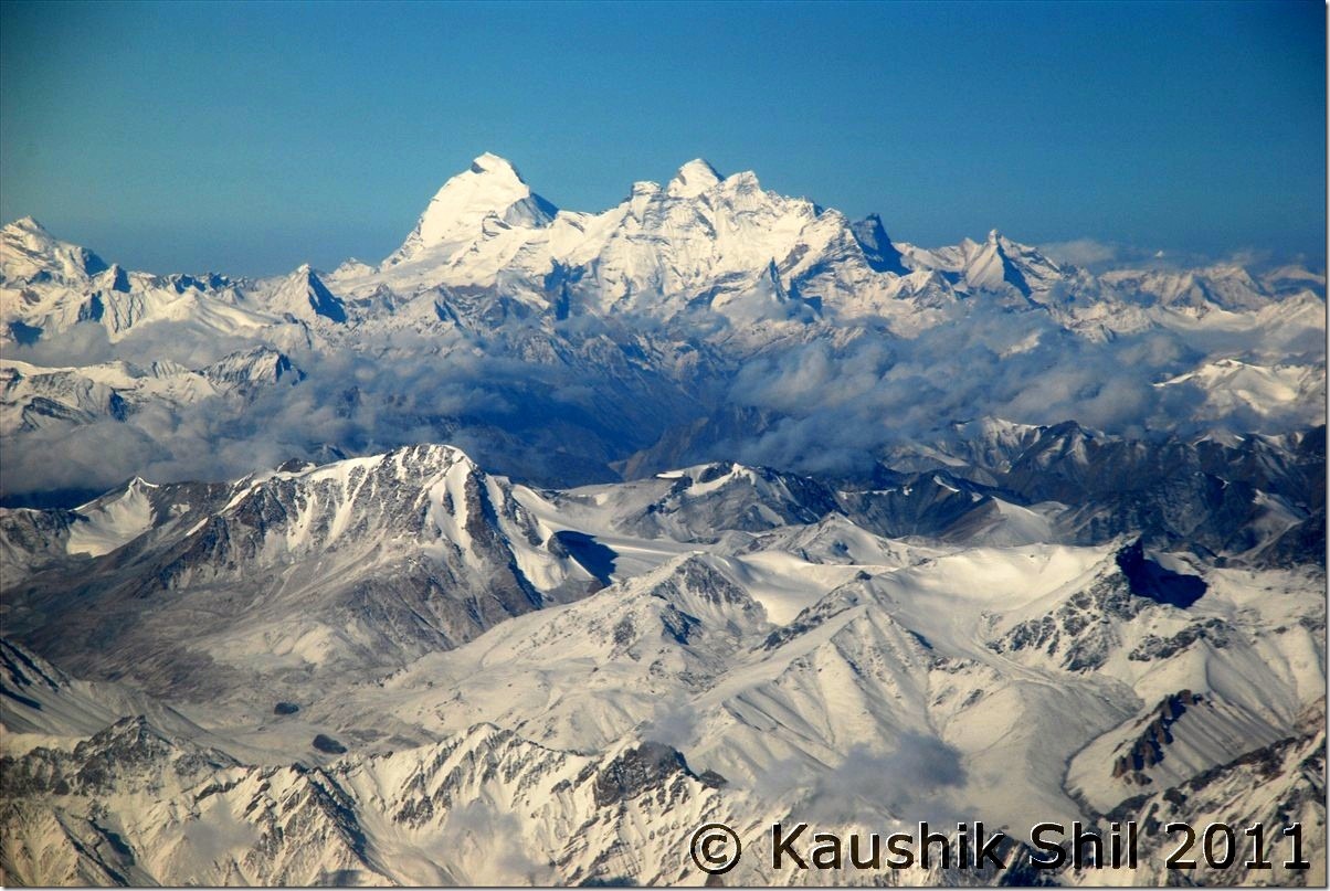
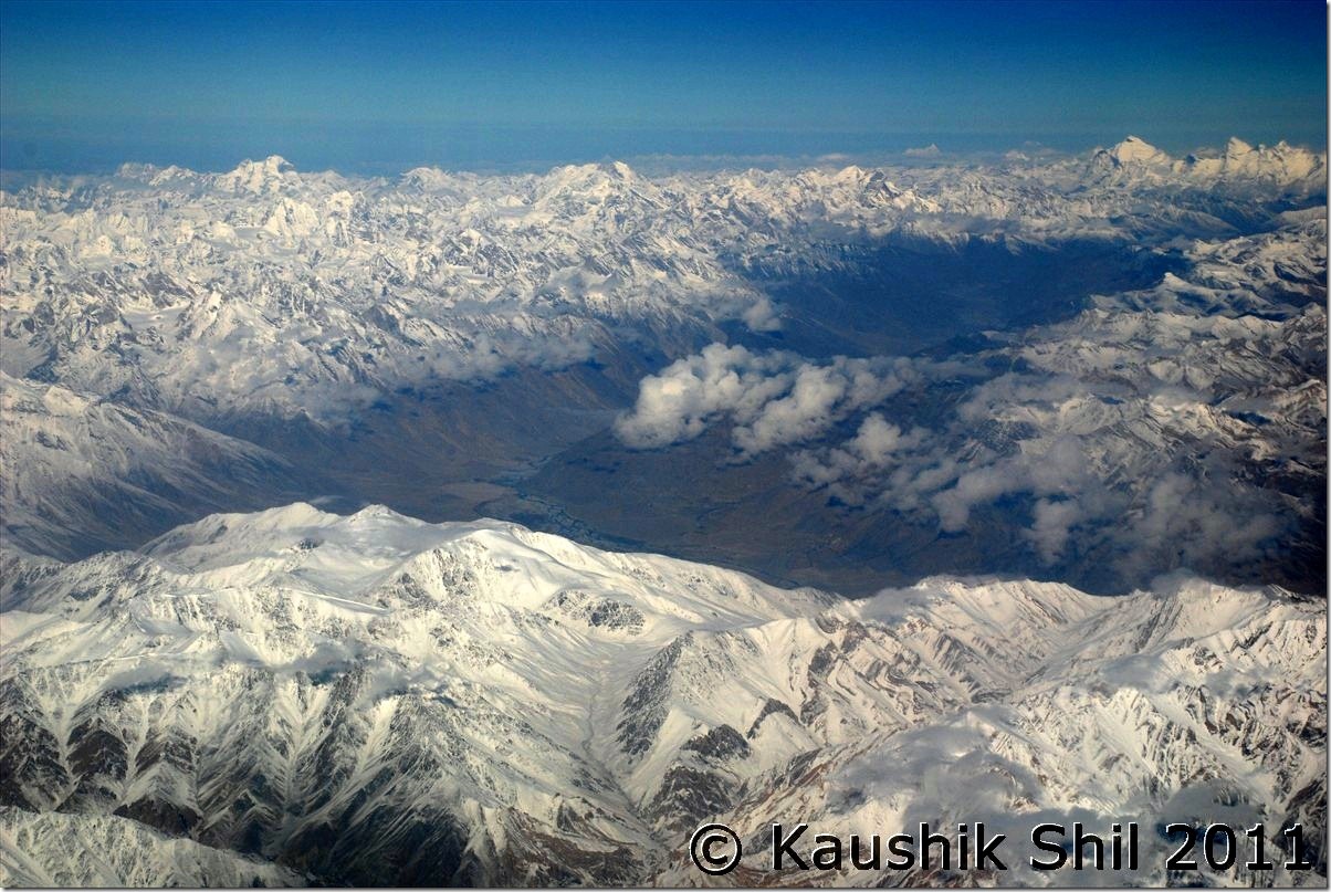
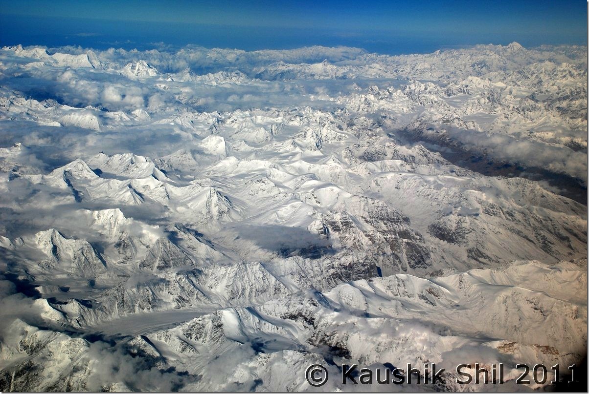
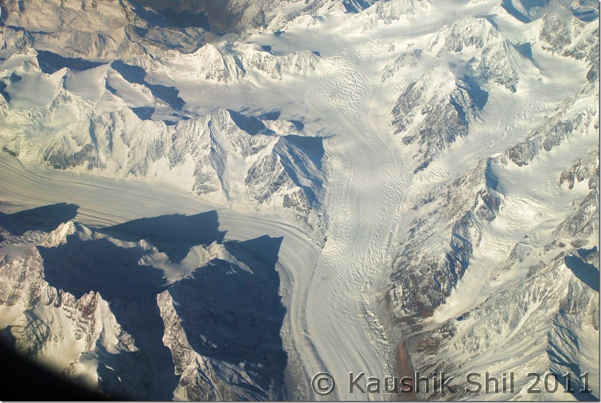
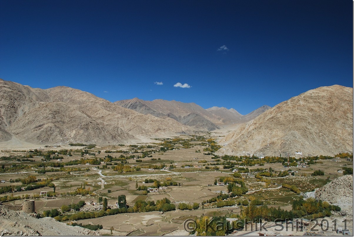
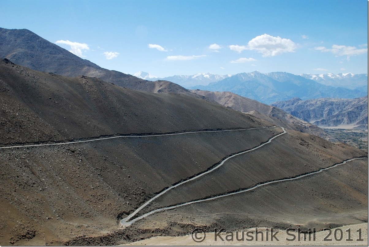
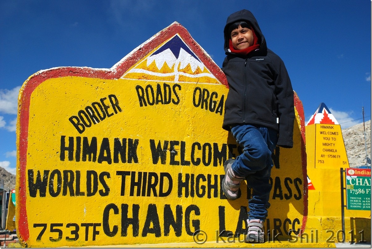
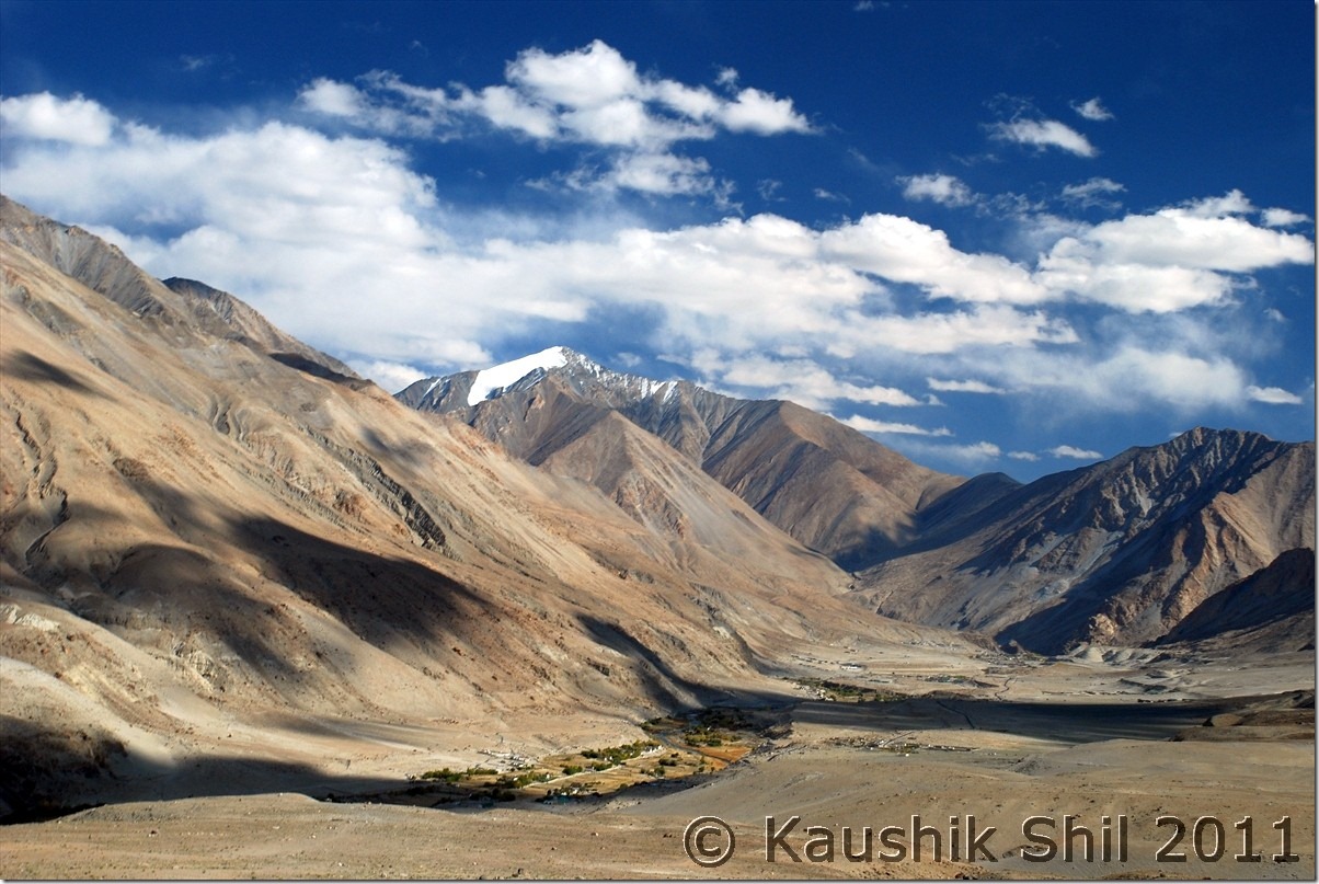
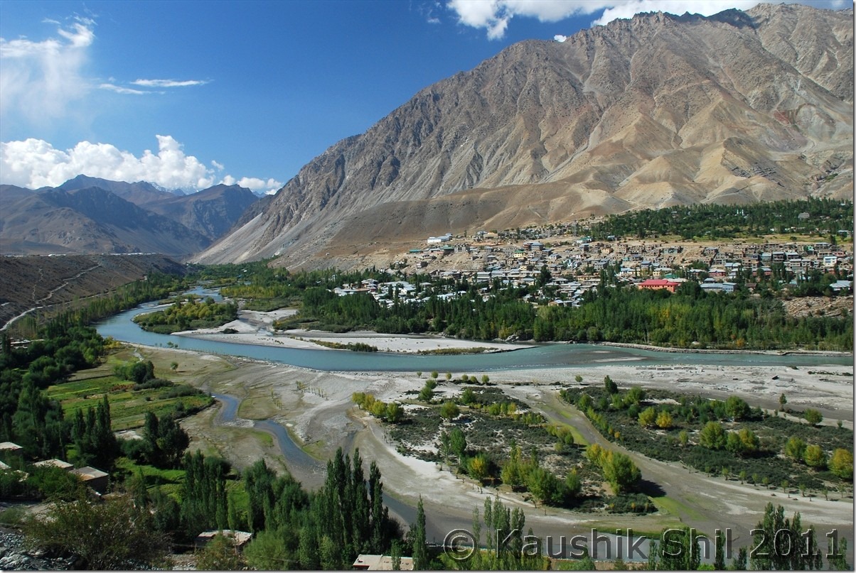
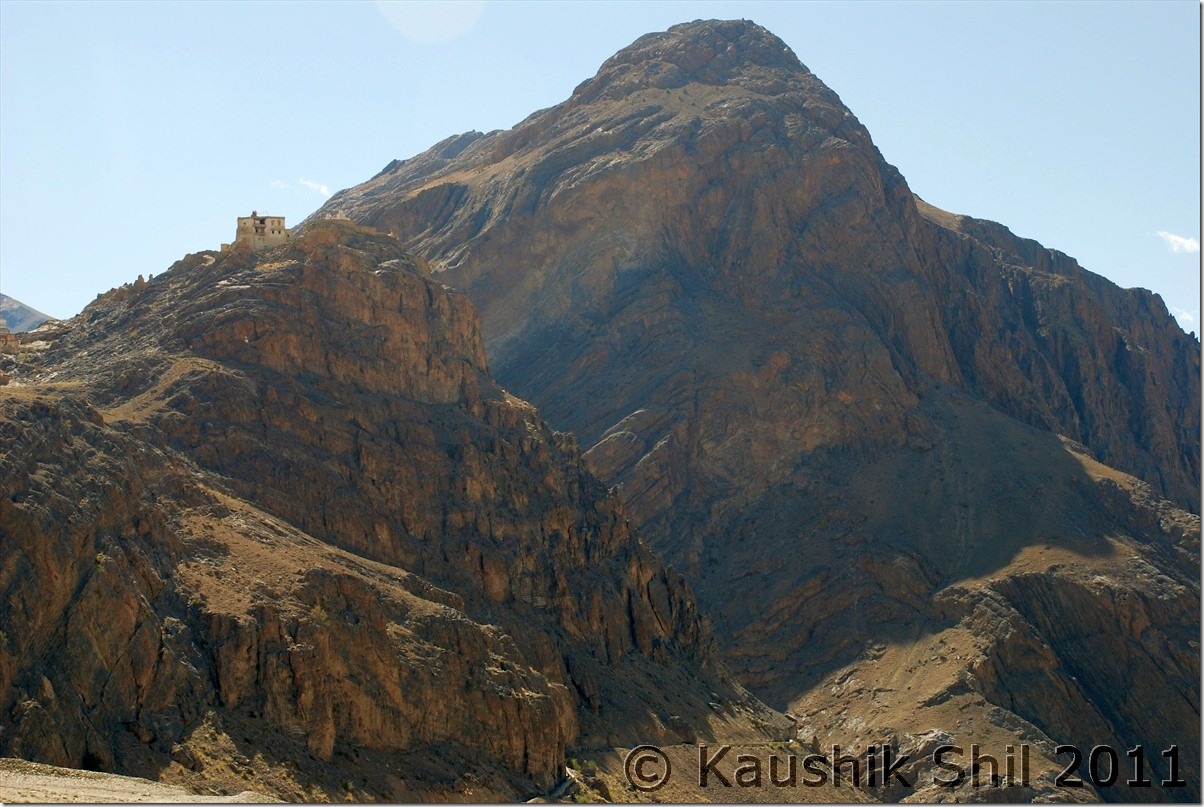
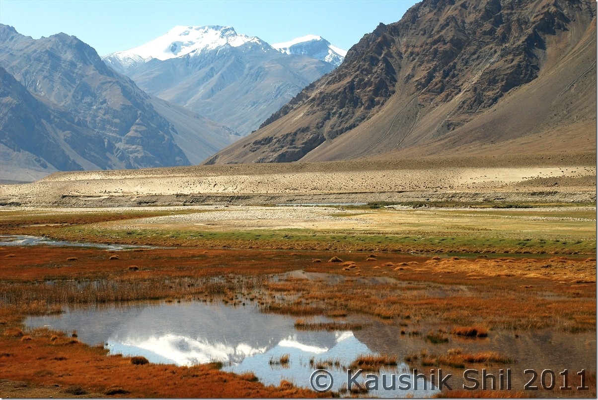
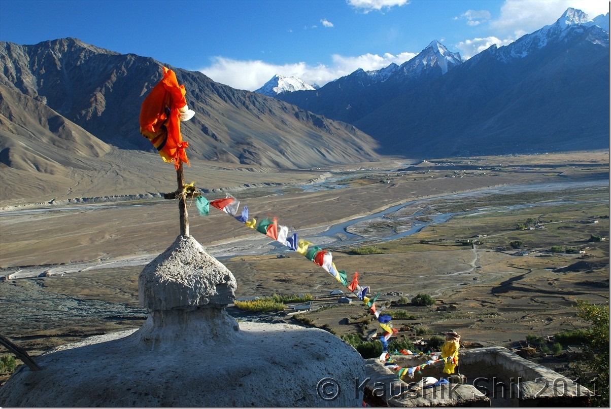
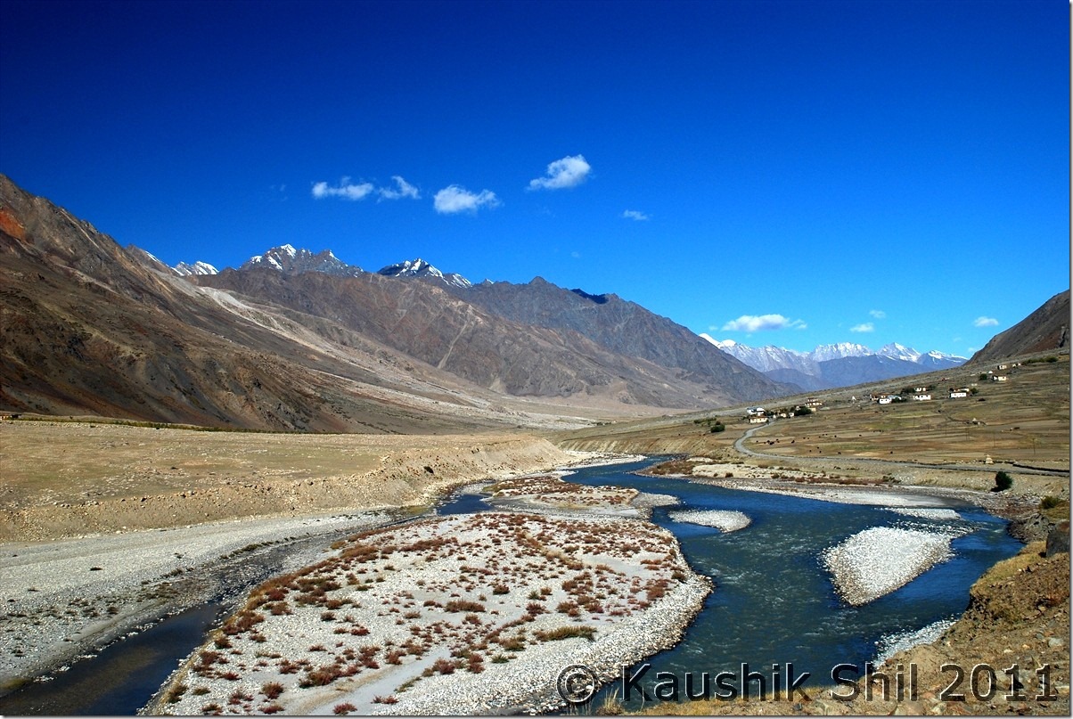
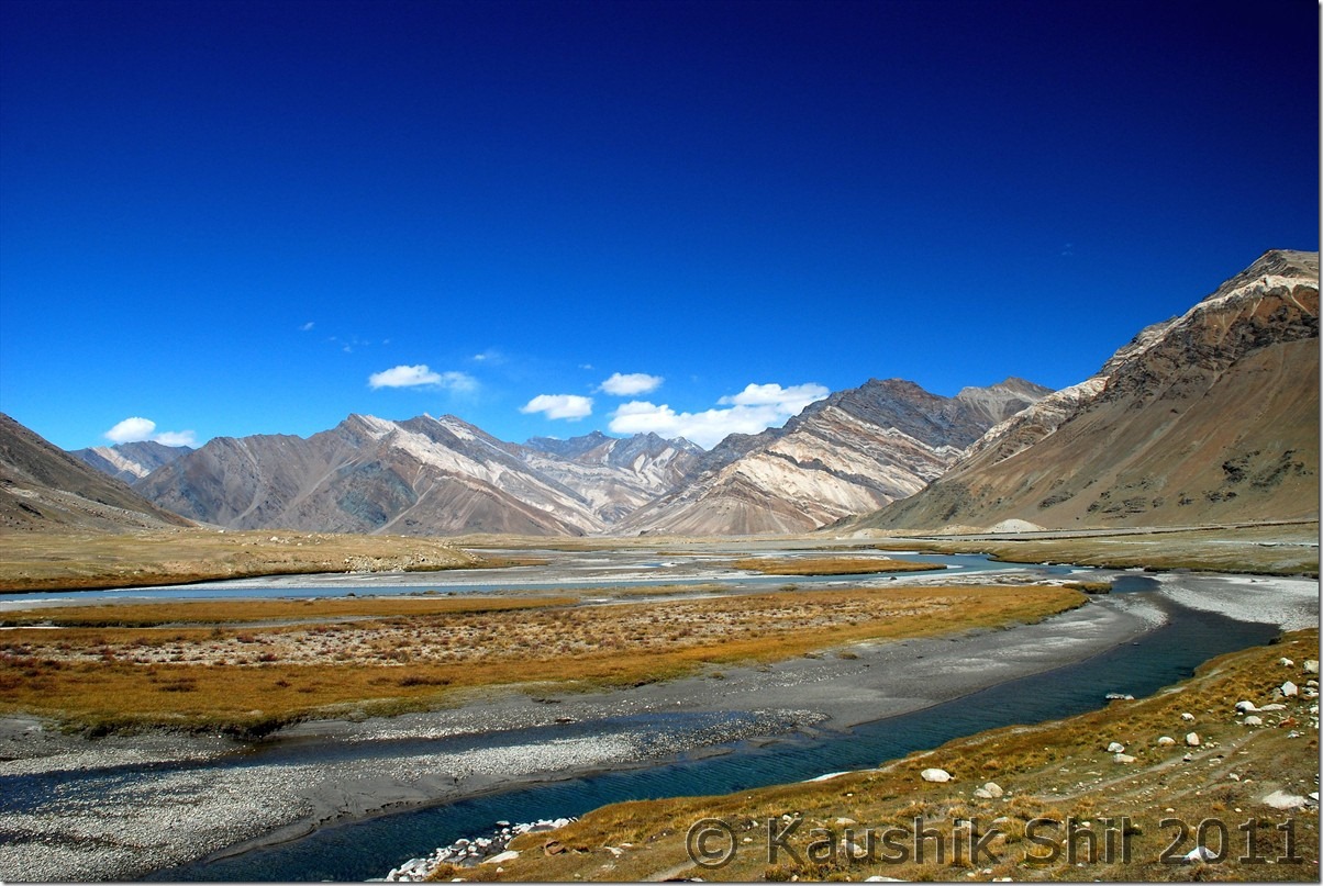
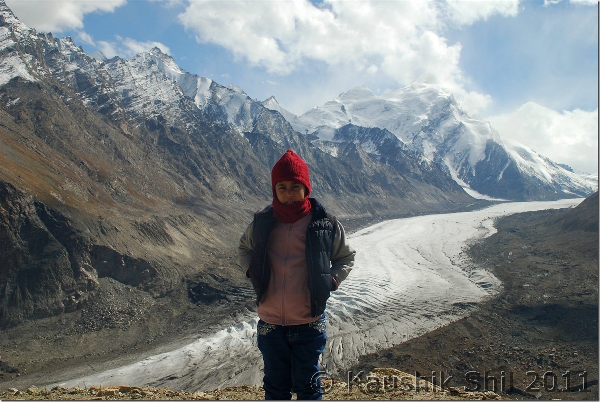
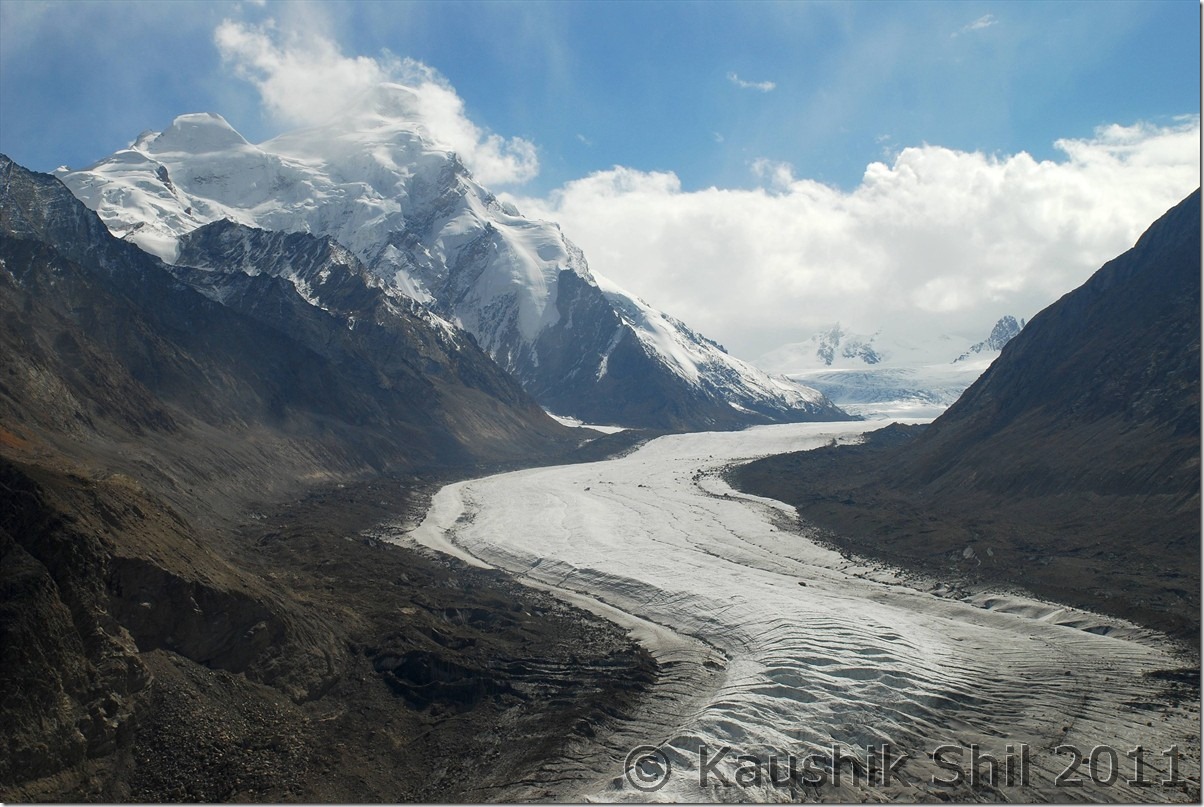
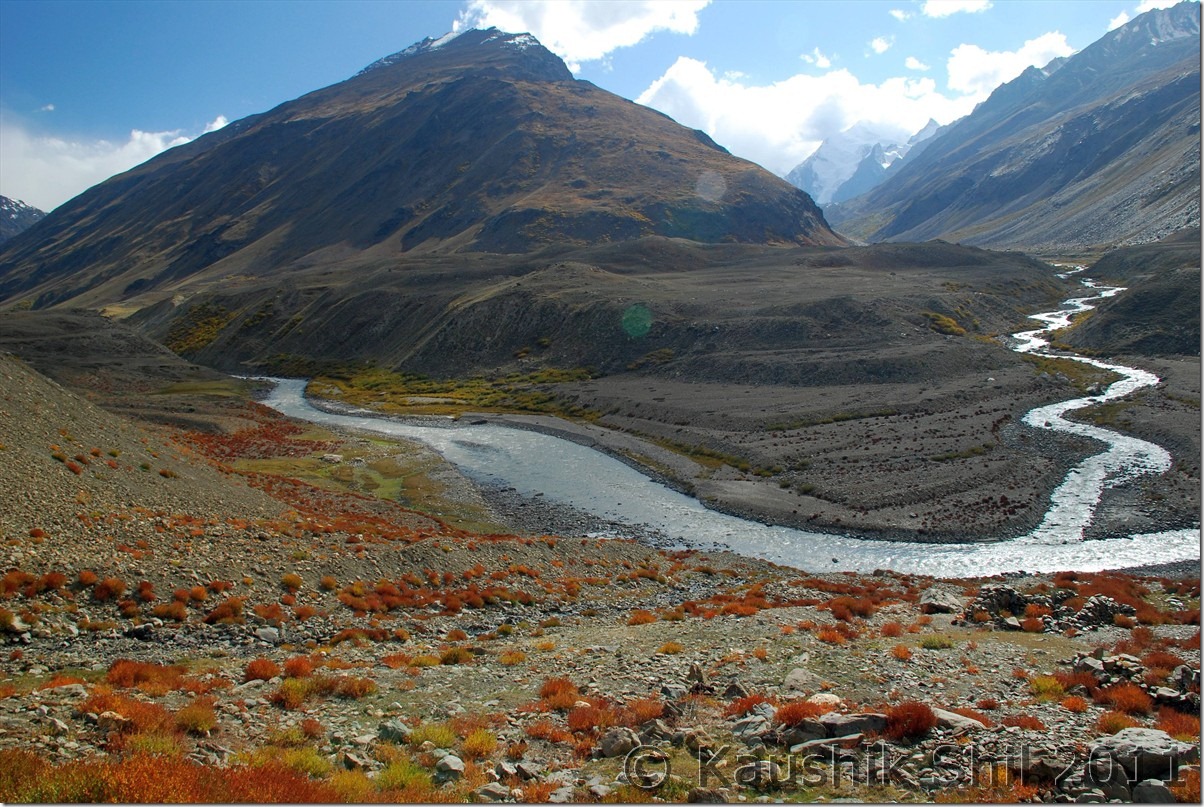
Took a brilliant flight back to Delhi and got some nice shots of Padum Valley and Nan Kun peak and few glacier shots from top. After a 3 hours break, boarded a flight for Kolkata and landed at my city just short of 4.00pm, outside temperature was 31 and relative humidity was 90 plus, that’s the back to reality from otherwise a dream.

Leaving a dream called “Ladakh”:

DSC_30323

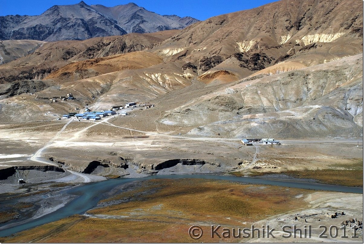
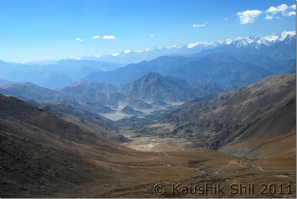
Below the Indus Valley:

DSC_30324

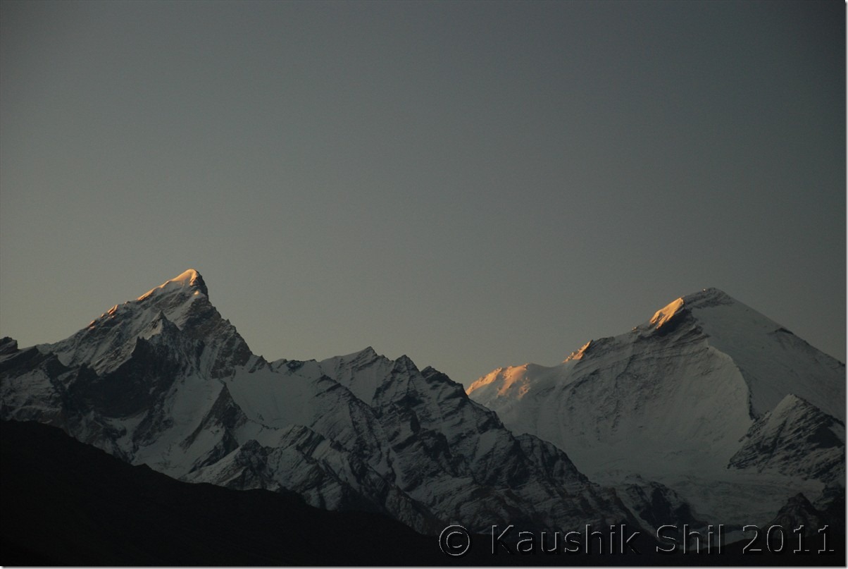
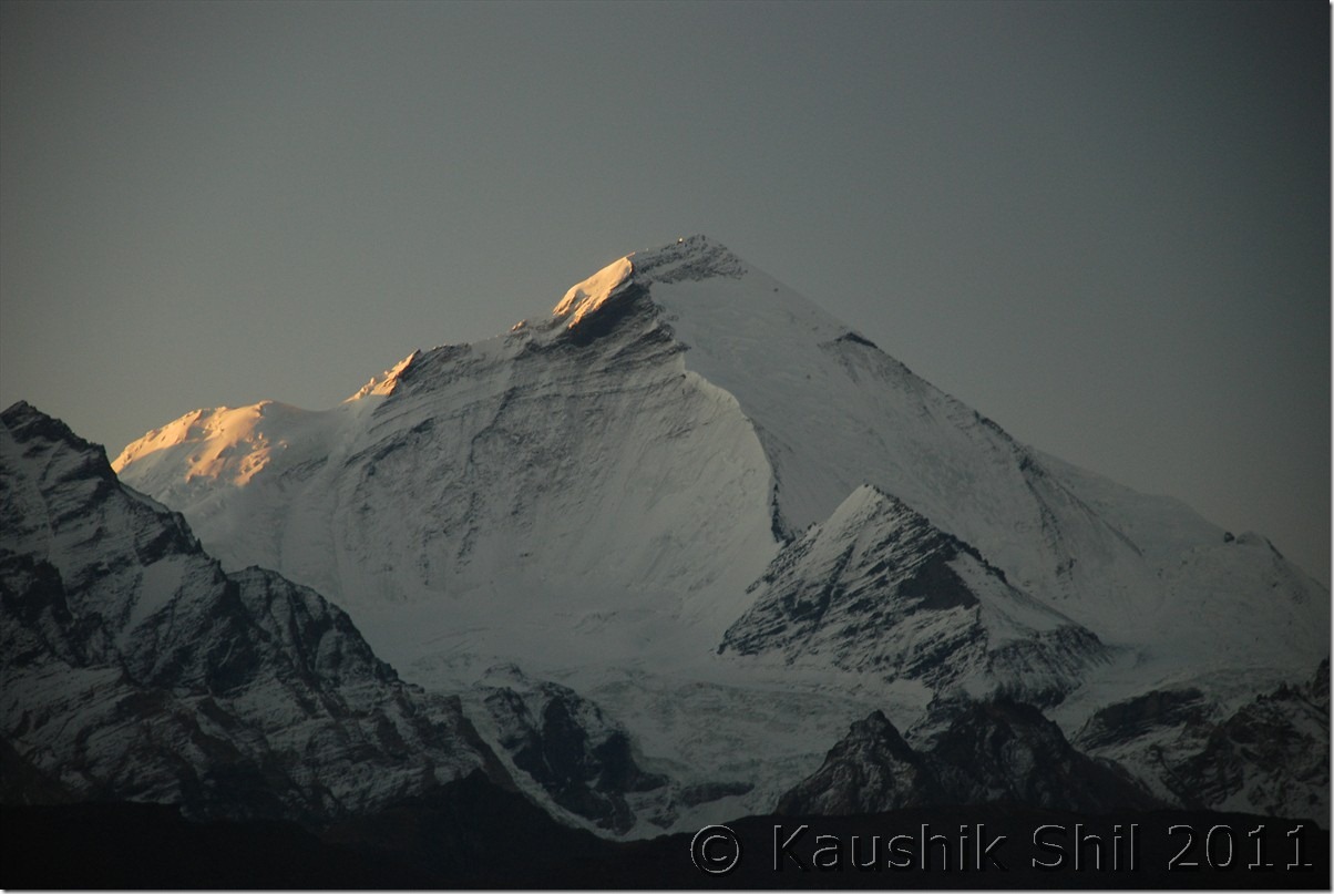
Rewinding the memories from the Aircraft, far away, Nun-Kun Massifs:

DSC_30343

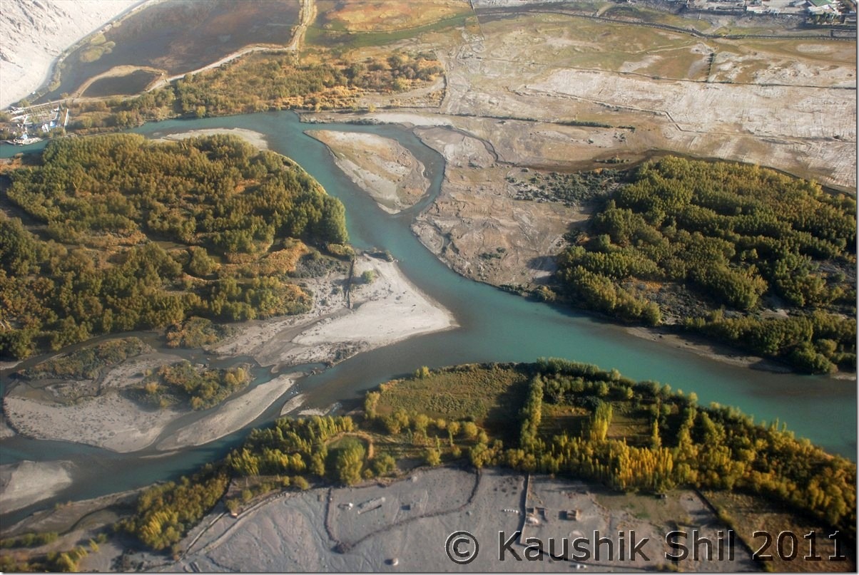
The awesome Zanskar Valley landlocked completely with clear 3 forks, the one to the farthest side go towards Kargil, Note the Nun-Kun at far end, the two forks at near end, left one going towards Darcha and right one towards Leh via Zangla:

DSC_30361

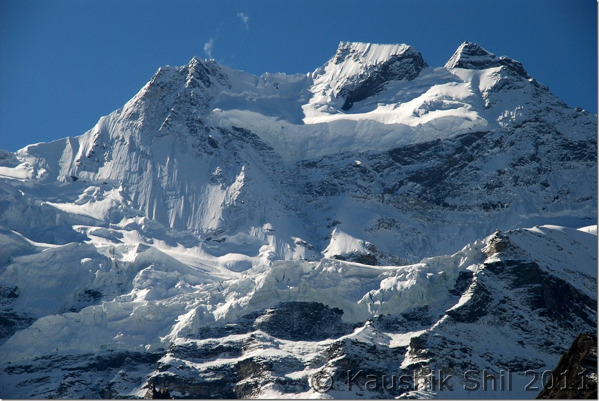
Flying over the Great Himalayan Range, perpetual snowline:

DSC_30372

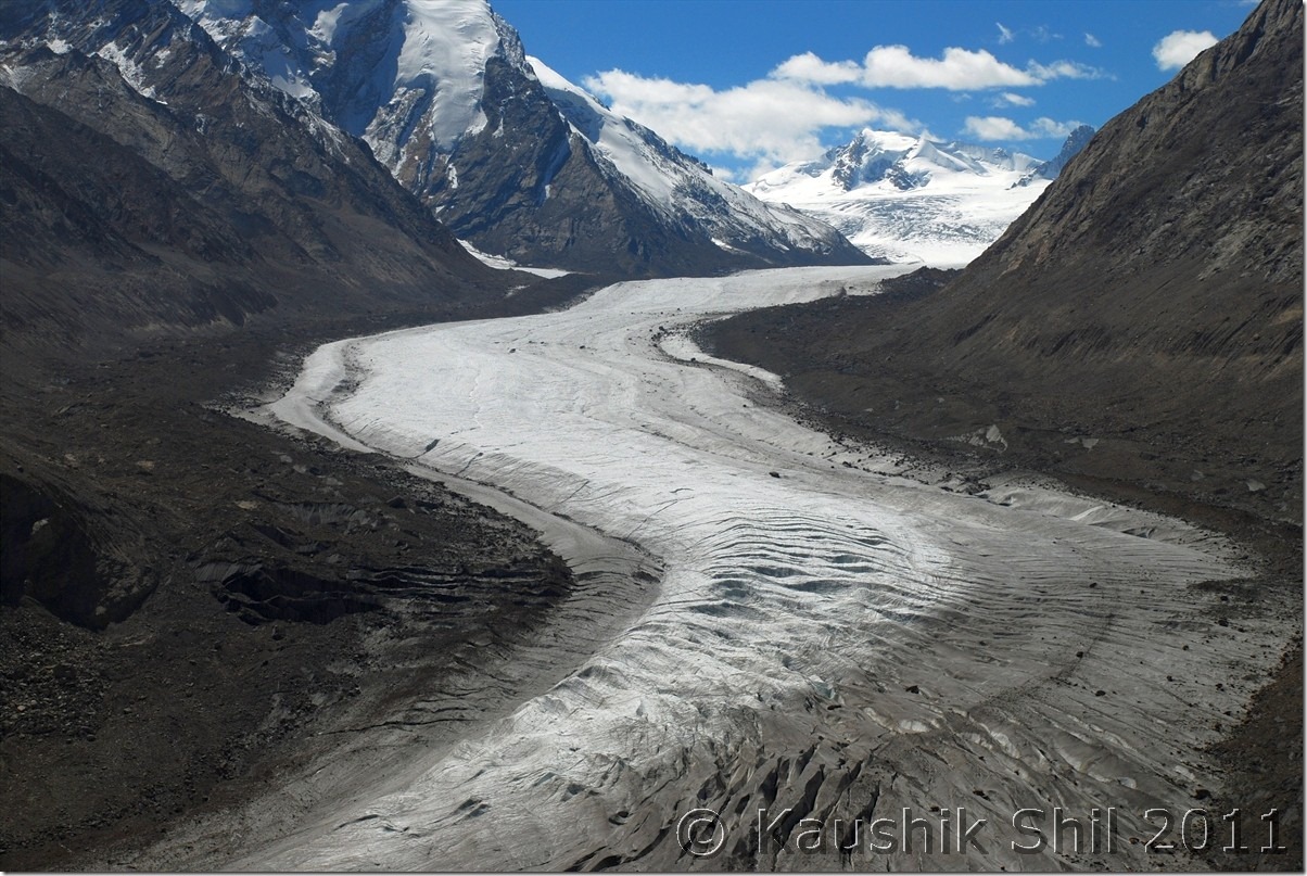
One unnamed glacier on the Great Himalayan Range:

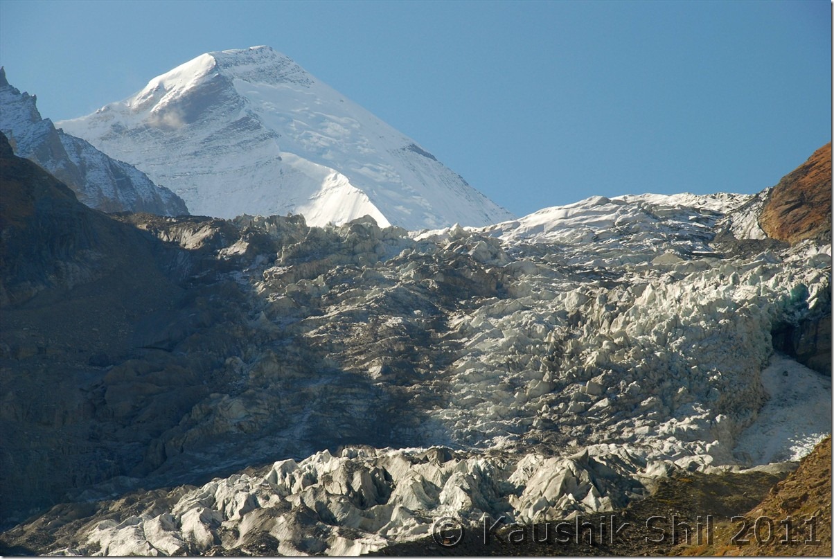
DSC_30382

Previous: Ladakh – Tsomoriri, Tso Kar, Tanglang La, Leh

The End

Ladakh – Tsomoriri, Tso Kar, Tanglang La, Leh

6th October:

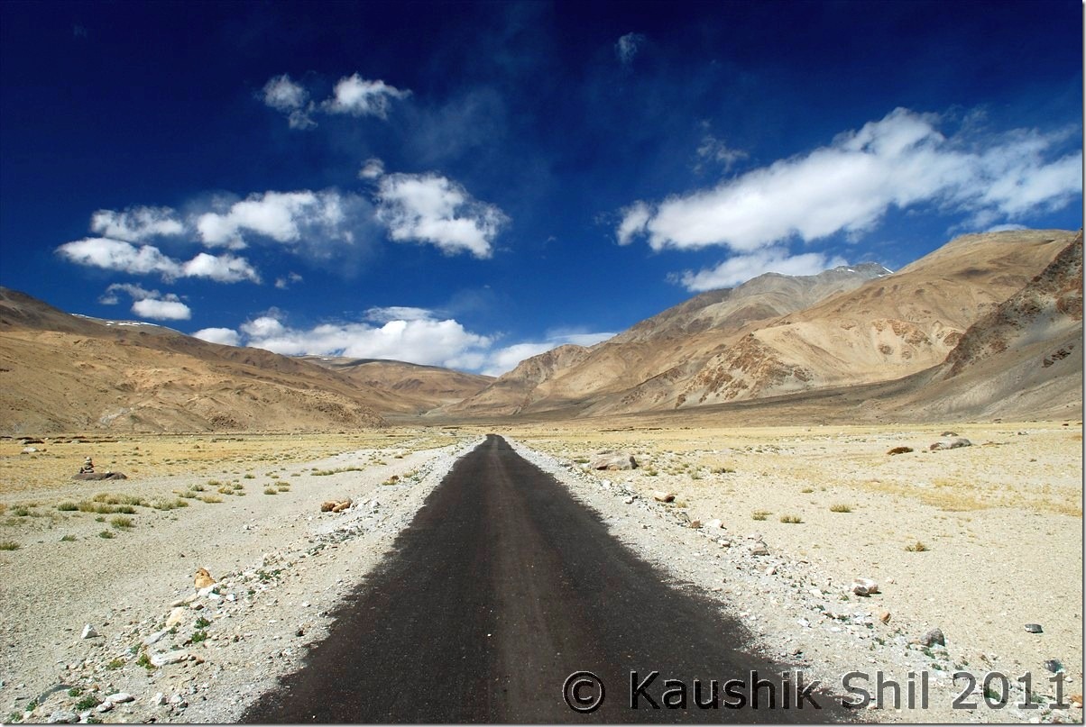
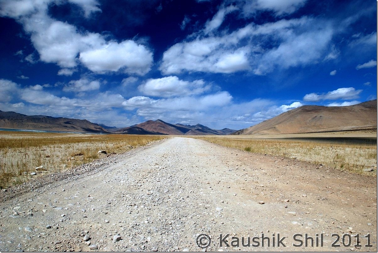
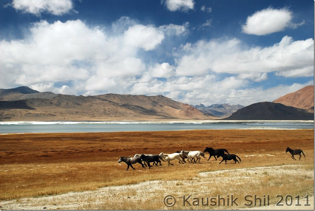
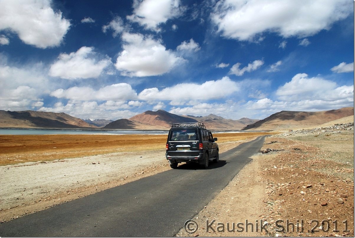
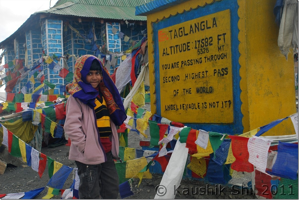
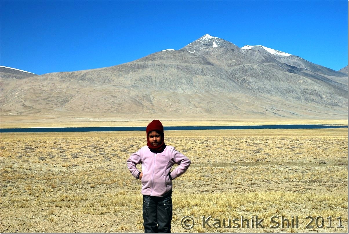
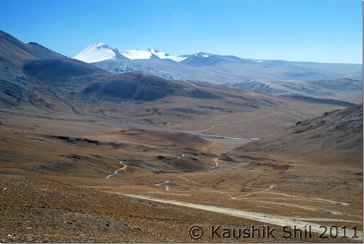
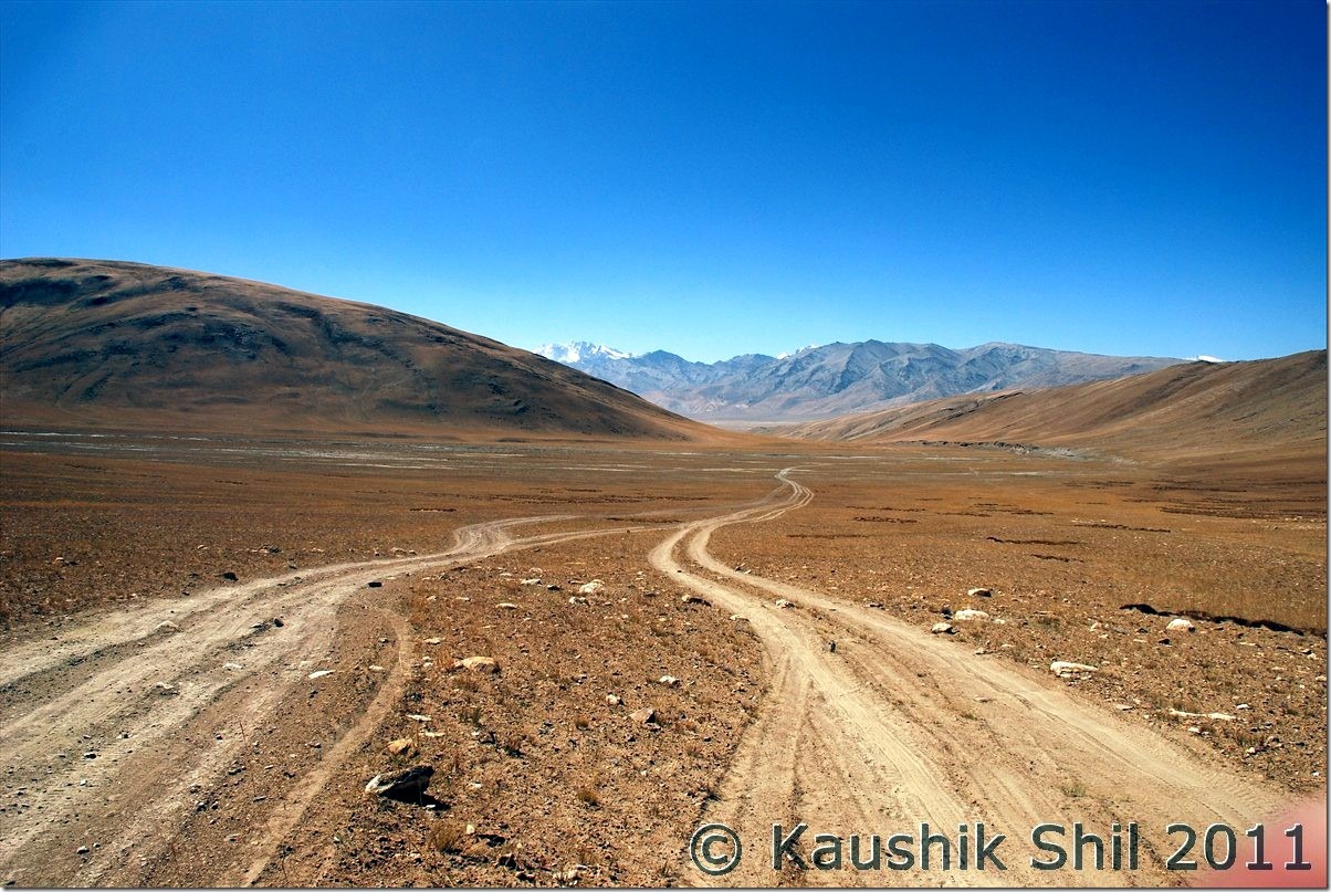
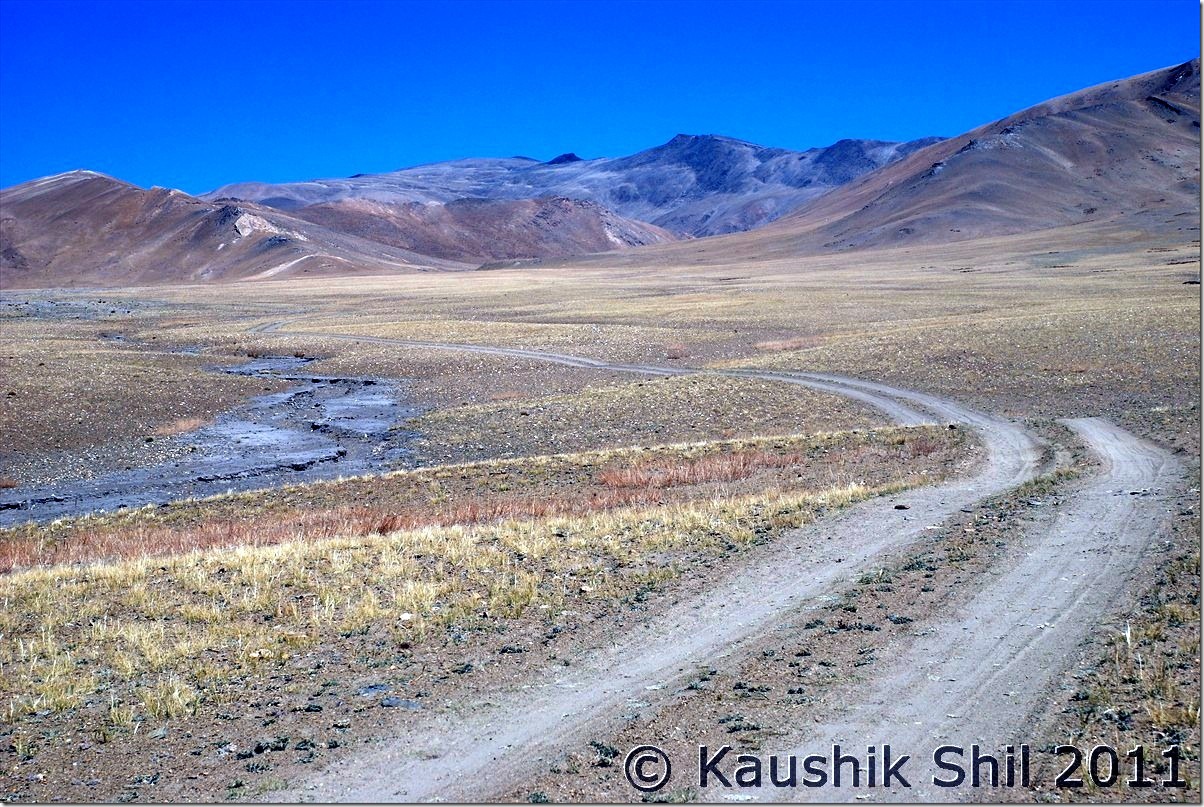
We started the day little lazily around 9.15, the maximum late start we had in whole trip. Took a stop closer to lake but again it was odd for photography, in morning sun was at eastern sky and we were at western end. Crossed Tso Kiagar soon and reached Sumdo by 11.00am. At Tsokar had some tea and first time during our trip got some clouds in the sky. We knew weather would deteriorate from 7th onwards and had a detour of few km towards More Plane and then finally took a U turn and head towards Leh. Leh – Manali highway in this side was just ok but we found lots of road works being done in every 200 mtrs and that caused significant delays in taking detours. We hit Tanglangla by 2.45pm but again stopped for 30 mins for road work. Finally reached Leh by 6.00pm and straight away head to Kidar GH again. Thanked God for completing an ambitious trip and it was blissful 2 days of rest at Leh that was badly due.

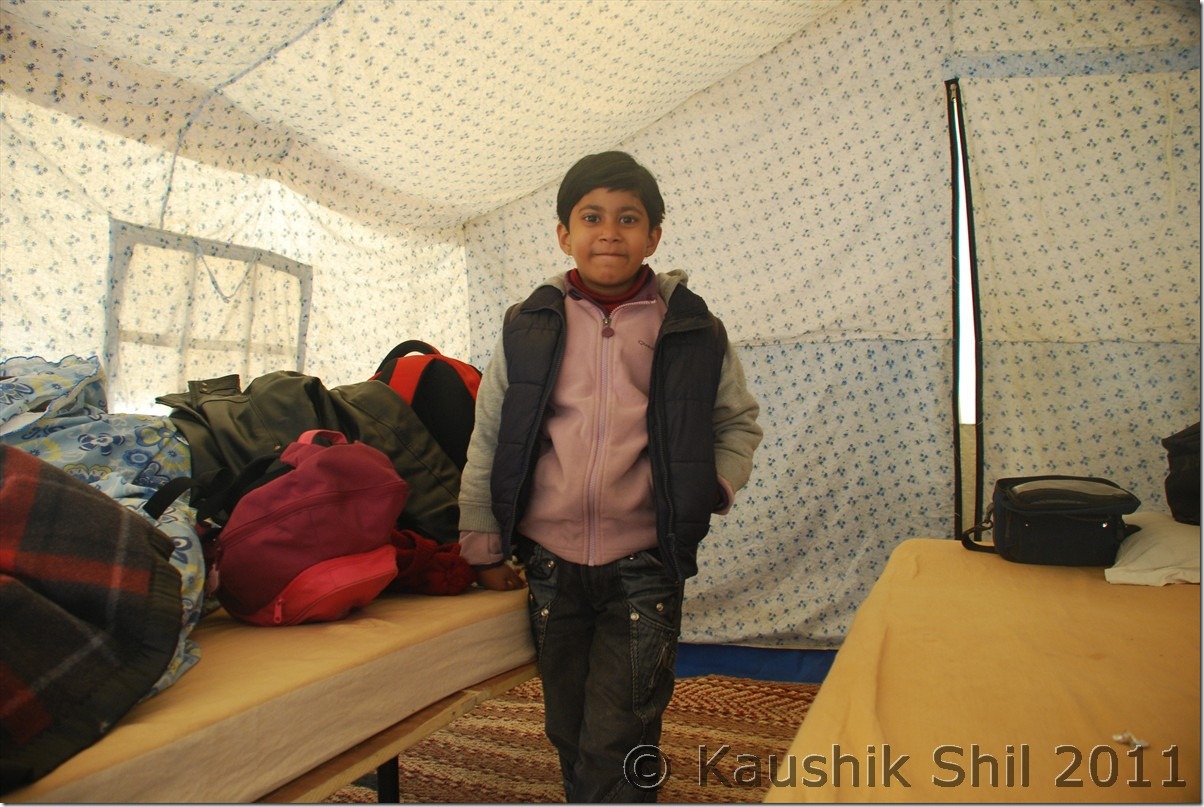
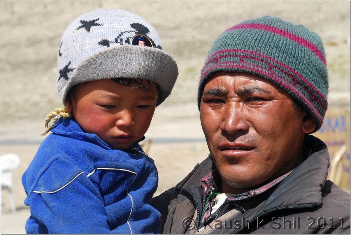
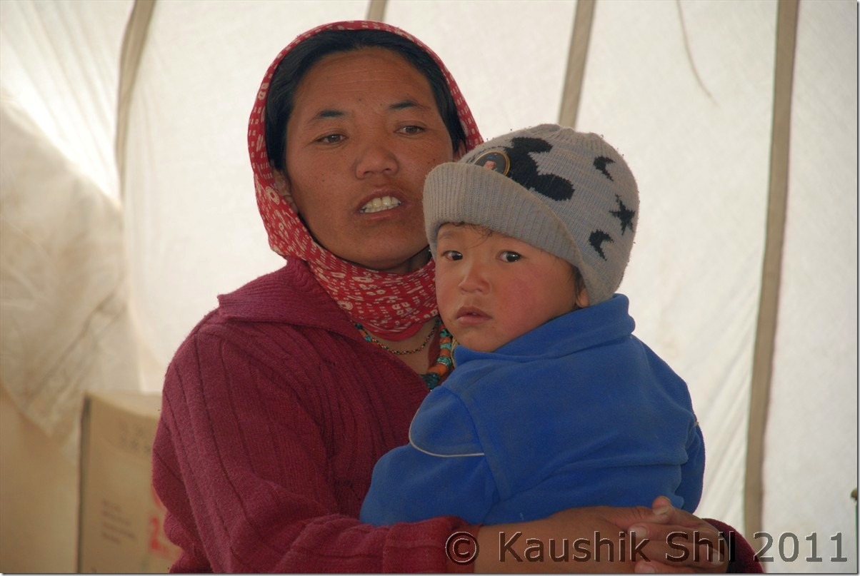
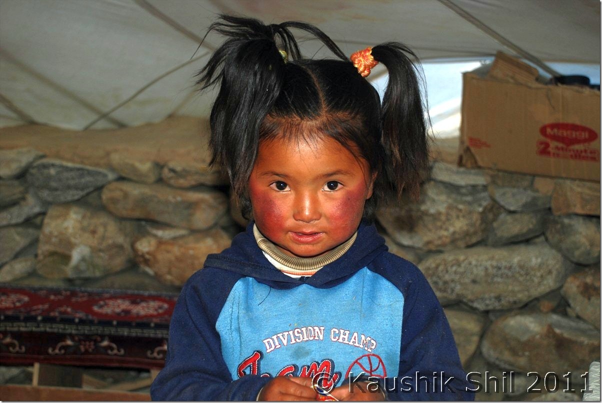
Kid was super excited in the tent:

DSC_30104

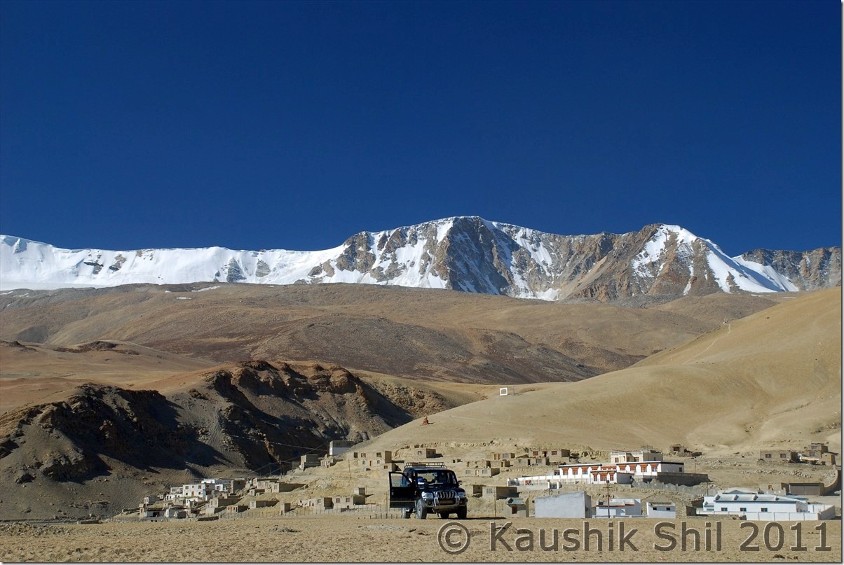
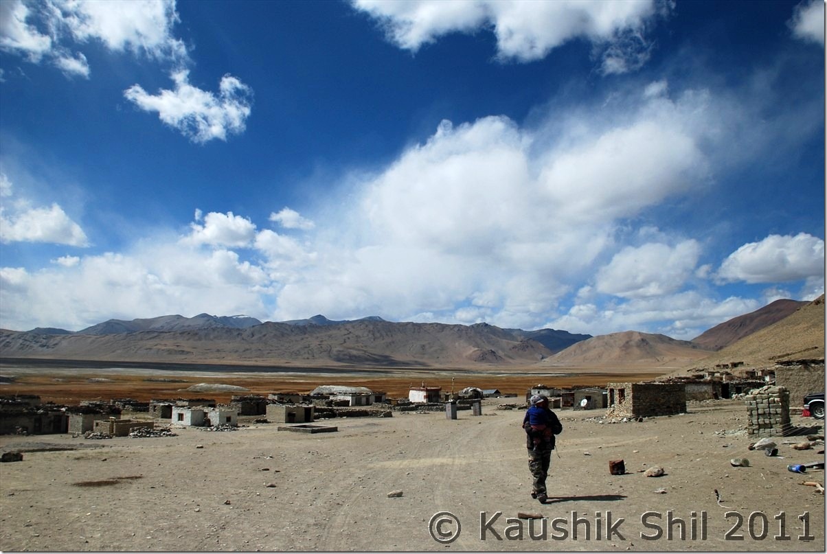
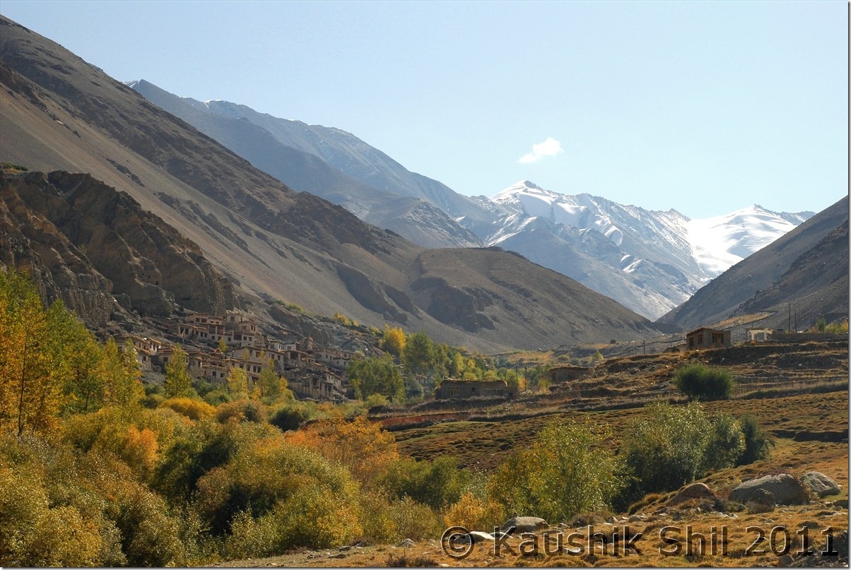
Korzok Village:

DSC_30113

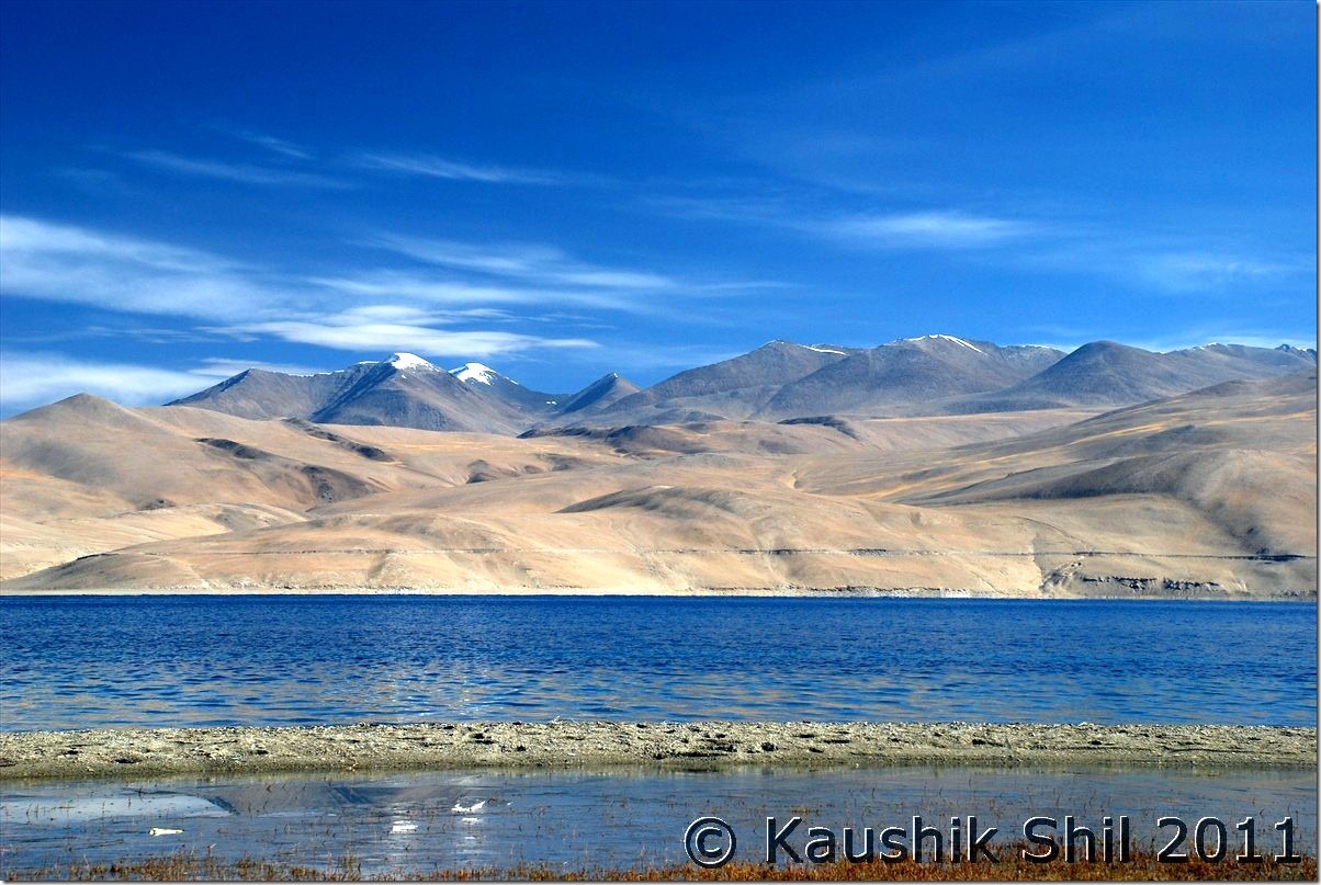
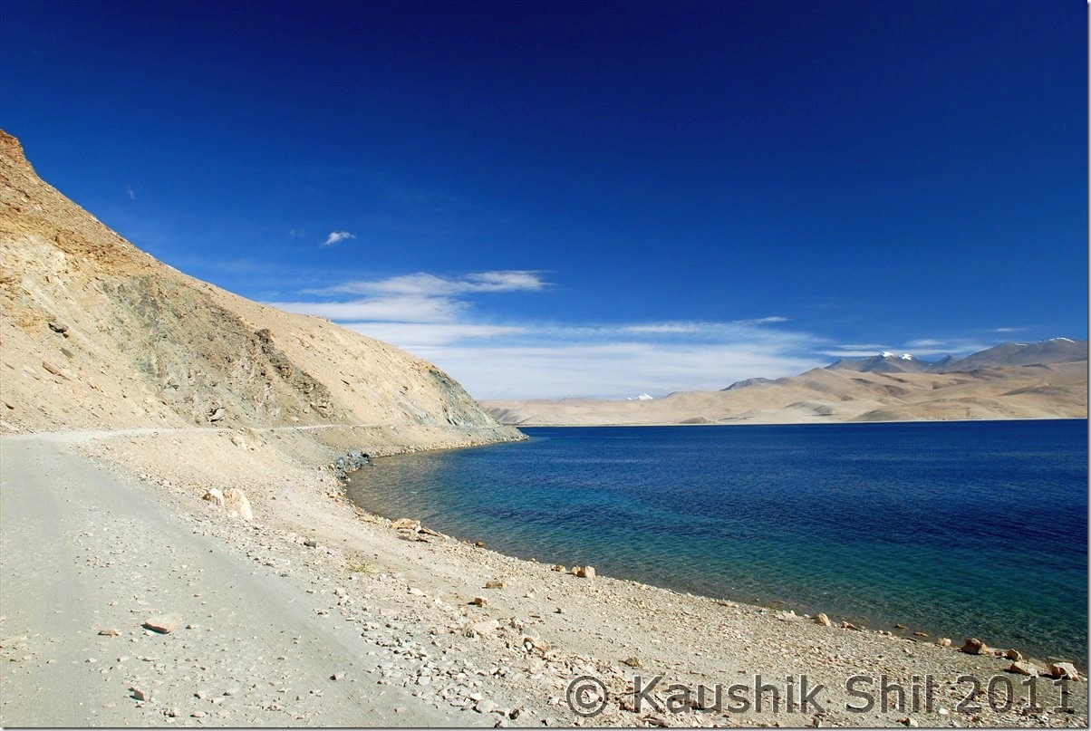
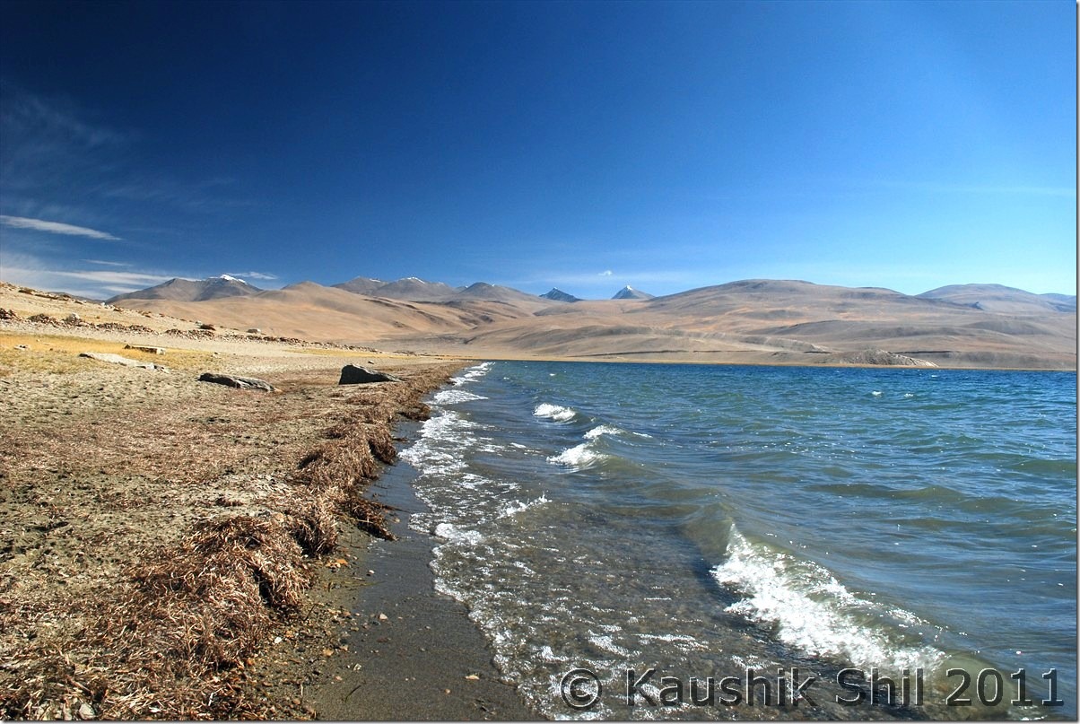
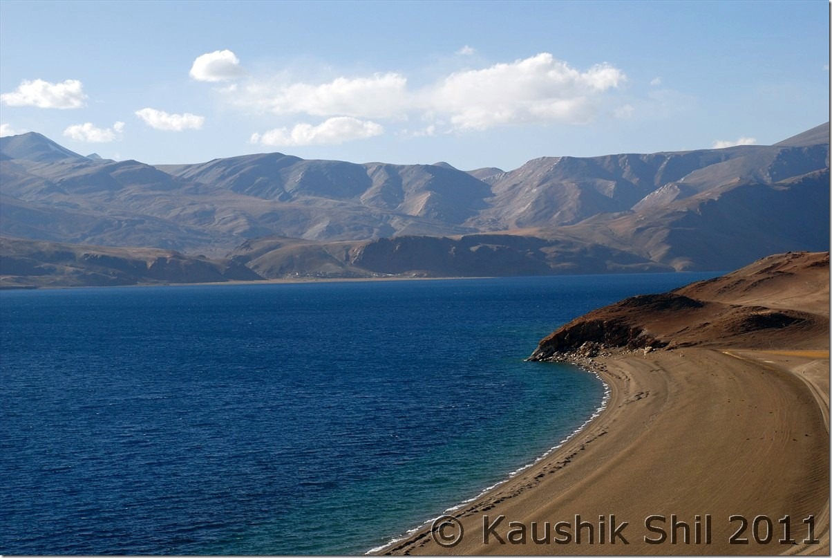
Tsomoriri – at Korzok:

DSC_30114 DSC_30128 DSC_30130 DSC_30133

Tso Kiagar:

DSC_30144

Sumdo Village:

DSC_30160

Road towards Tso Kar:

DSC_30166 - Copy DSC_30175 - Copy

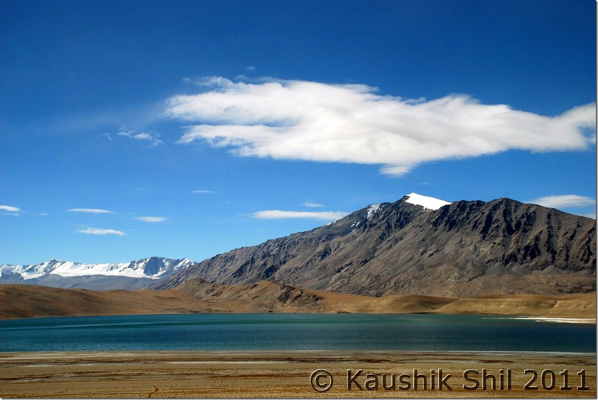
Tso kar:

DSC_30183 DSC_30202

Tso Kar Village:

DSC_30210

Nomads at Tso Kar Village:

DSC_30211 DSC_30214

More Planes:

DSC_30235

Tanglang la Top:

DSC_30250

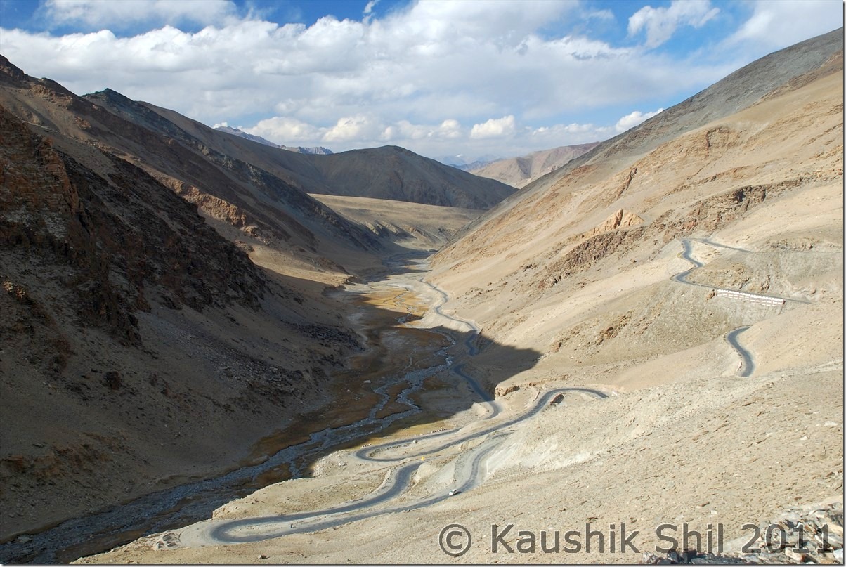
Tanglangla Descent towards Leh:

DSC_30262

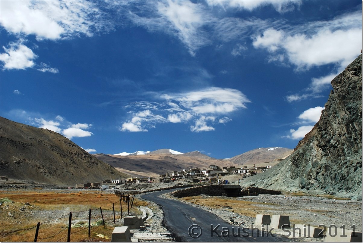
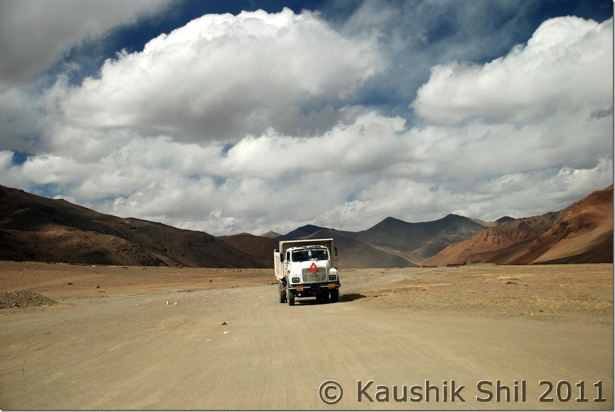
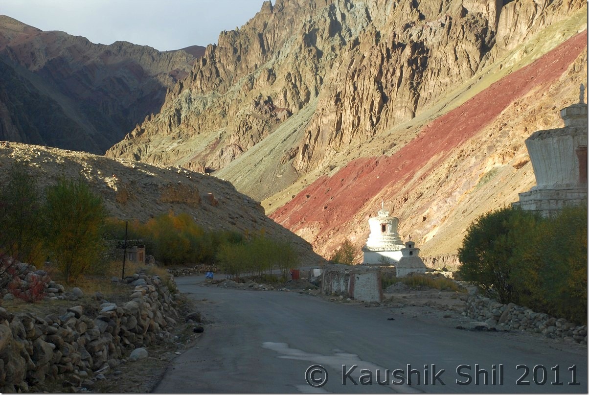
Road towards Leh:

DSC_30267 DSC_30295

Previous: Ladakh – Kyun Tso, Salsal La, Chumur to Tsomoriri

Next: Ladakh – Journey Ends at Leh and Flight Back Home

Ladakh – Kyun Tso, Salsal La, Chumur to Tsomoriri

5th October:

We were ready with another adventure filled day ahead of us. Harsh was of great help with details of this stretch but we were still skeptic with if we really could manage to find our roads to Tsomoriri via Chumur. We started early by 8.30am on that day and plan was to take Hanle – Kyun Tso – Salsal la and then reaching Chumur and tracing back the path to Tee joint as mentioned in Harsh’s map and back to Tso moriri via Charchaghan la. We had few concerns, if we could manage Charchaghan la if it was still not blasted, if we could find the road without any GPS/Compass and if we turn back, could we climb up Salsal la as it was pretty steep as reported in Harsh’s log. We had plans to take the Kyun Tso – Nidar – Nyoma route as backup if we couldn’t find/ manage Tsomoriri route, but then we knew we didn’t have the names of Nyoma / Mahe/ Sumdo mentioned in our permits. Not having much choice left, we had to start, only hope our luck, it was surprisingly favouring us all through the trip.

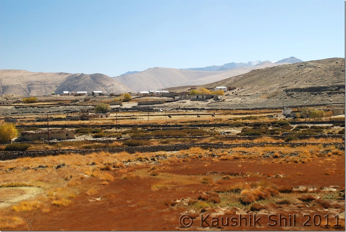
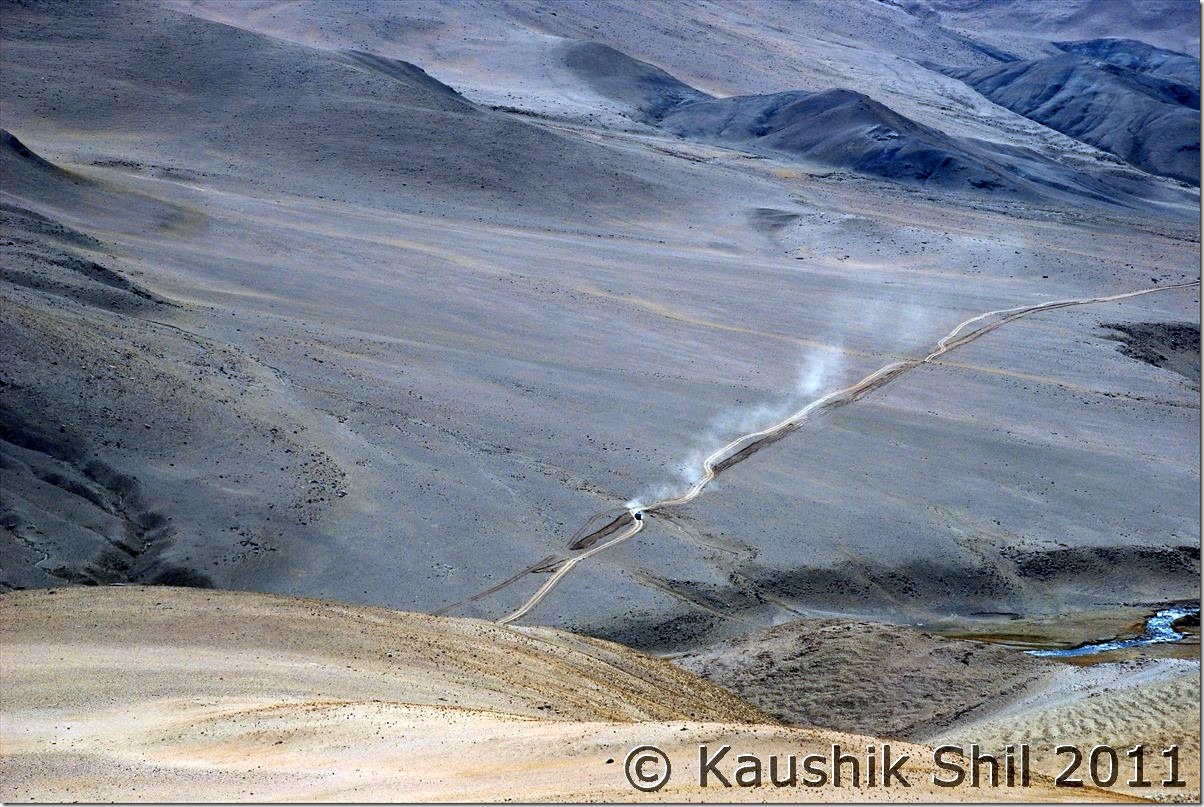
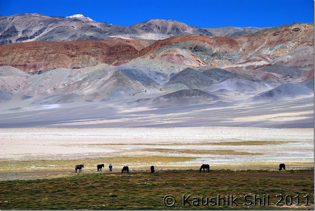
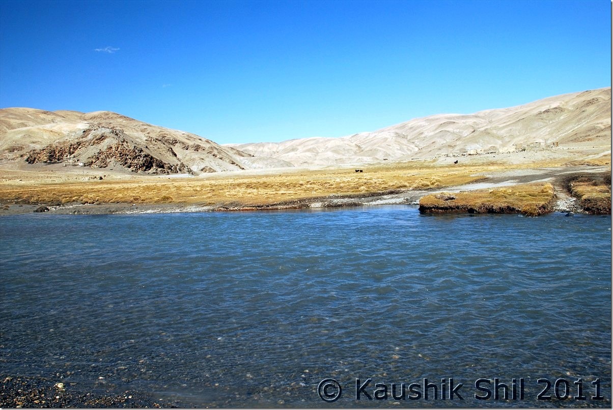
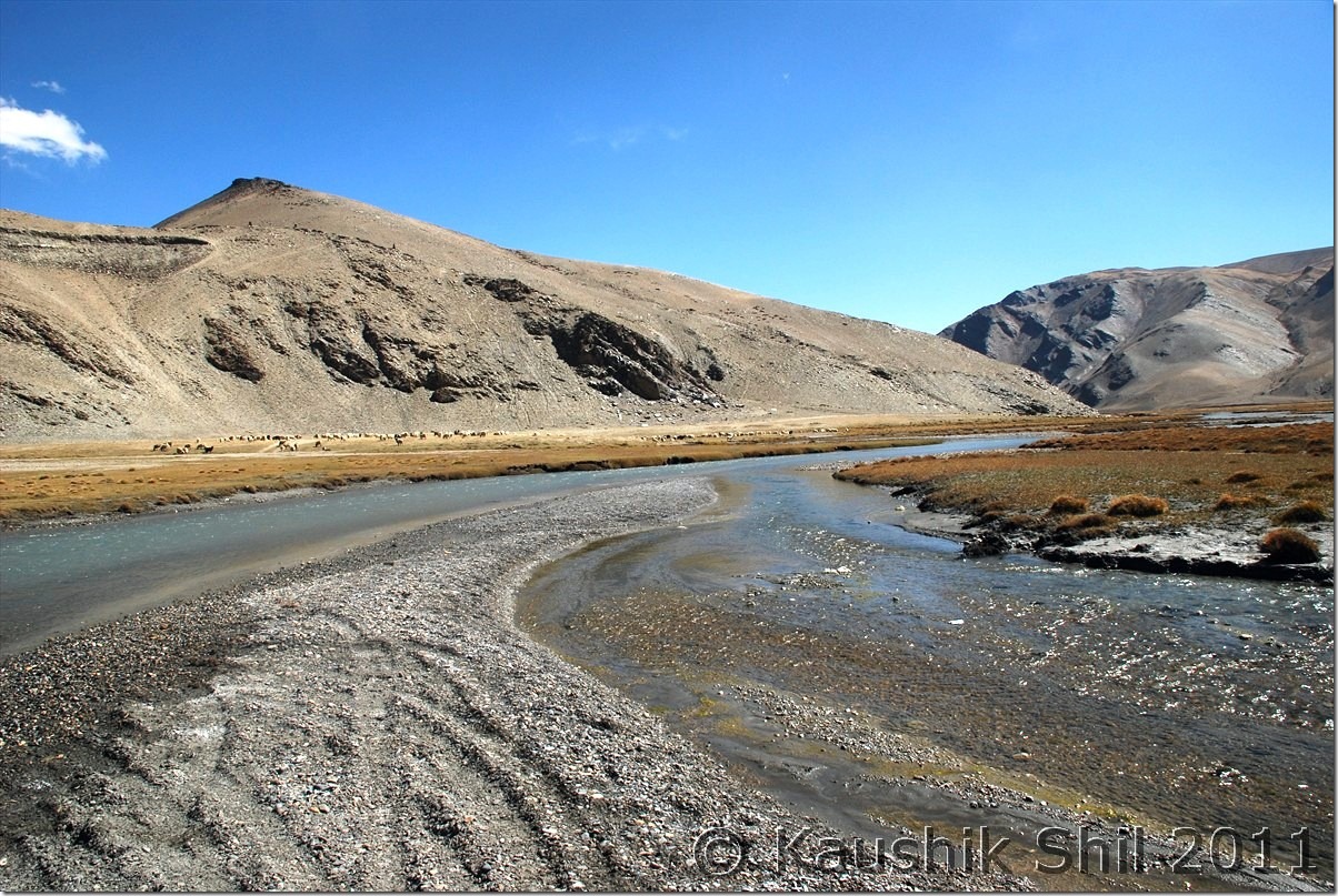
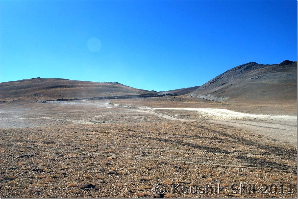
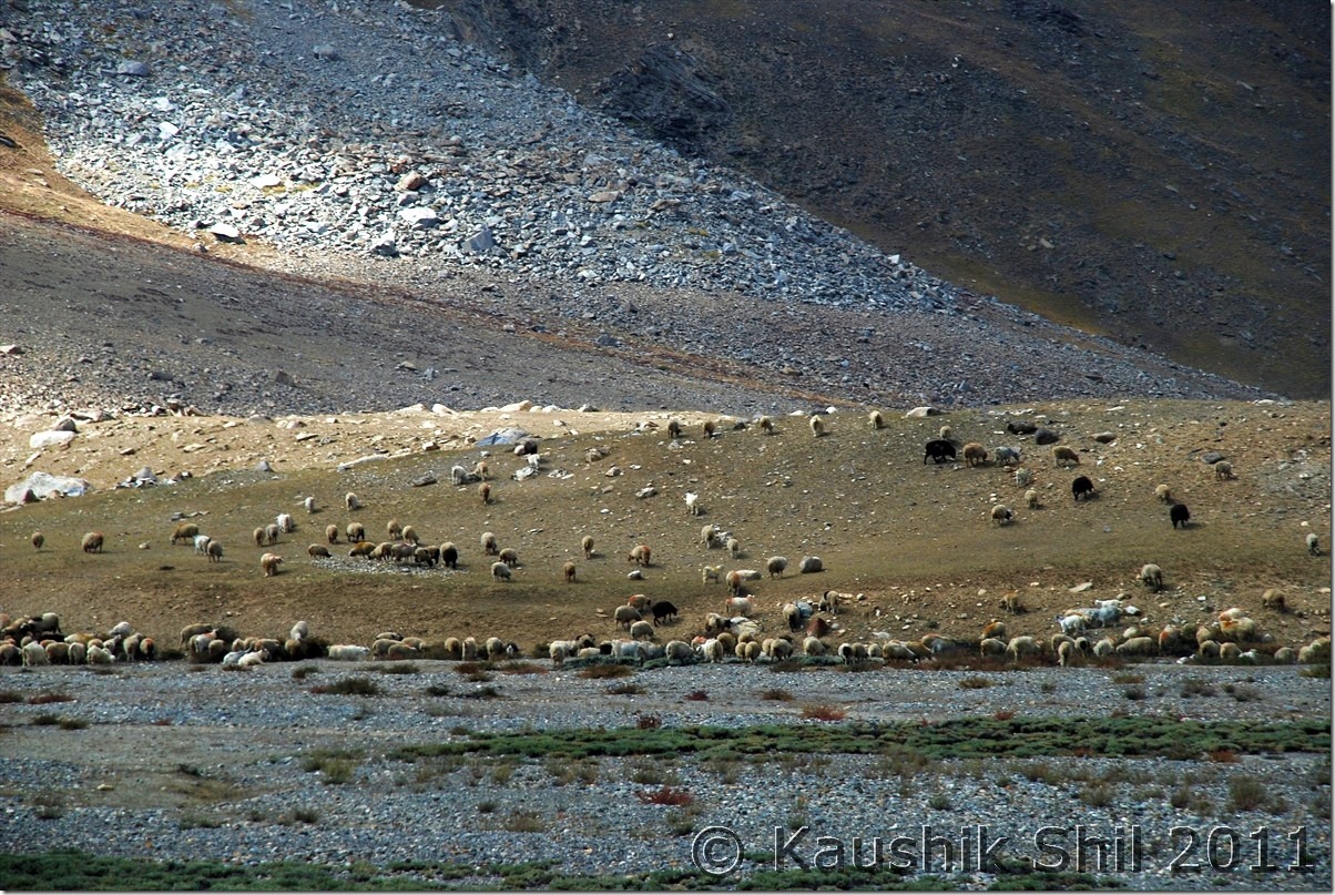
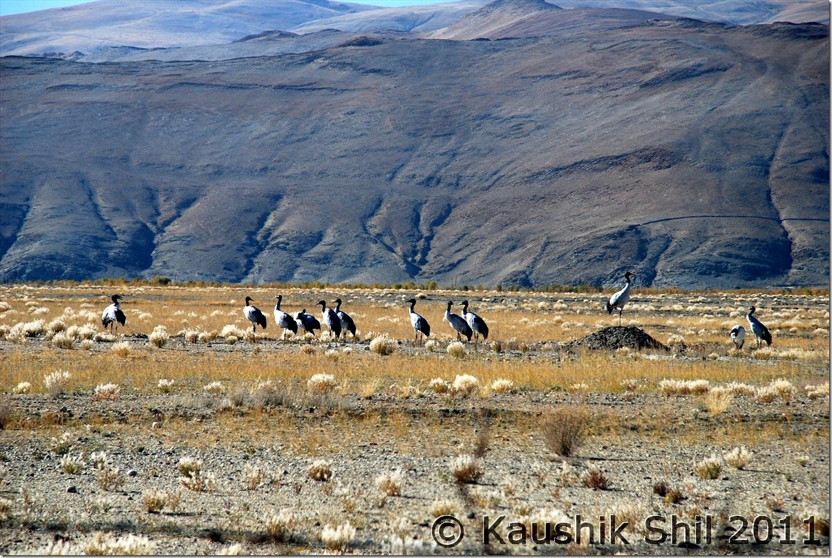
We came to main road from observatory GH and took a right straight away to the village (left would take you towards monastery and the junction of Photila/Loma roads). Soon after crossing the village we found a lot of black neck cranes and it was a pleasure to see them from so close. Soon it seems we were entering a no man’s land, only directions are the poles as Harsh mentioned in his log. Few extremely difficult stretch of washed out areas and we were into a desolate Himalayan terrain with no soul around. In just 2 hours with 45km of drive we discovered Kyun Tso. It was a pleasing site. We stopped for photo breaks and just before this we found a track in our right towards Nyoma. We headed straight and in another 6 km we found the dramatic descent of Salsal la. It is a frightening sight, God knows how Harsh climbed it up from other side but best part was the road now blasted and the new road’s gradient was much smoother and in case we had to trace back the route, we could climb it up again. We gone down below and after crossing a small Nalla, we suddenly lost the pole markers. We tried our best to find the correct route, we couldn’t. Our only option was either to follow tyre tracks forward or to be back via Nyoma. We trusted our lucks and praying hard but decided to go forward. Soon we were brought into a large green pastures of land with many sheep grazing. We were little hopeful with signs of lives around. Kiangs were roaming and big snow peaks all around, a true remote Changthang feel is what you would get here. After another 10km, we found a place towards right and identified it as an ITBP camp. It was the Chumur ITBP and we saw the Nulla without Bridge at right too. We were already at the side of the Nulla where Chumur village is and realized the actual road was coming from other side of Nalla which we lost in the middle after crossing Salsal la. We visited the monastery which was behind a mountain and a small pass. Lamas were friendly and they showed us mummy and the cut off hands of witch those were the special attractions here. A new road was built below the monastery towards LAC mainly for military movement and villagers reiterated Chinese incursions happened there on 25th August. It was another 12km from the monastery where the Chinese army destroyed our unused bunkers. We had quick visit to the monastery and when asked about the road to Tsomoriri we got mixed answers. We heard road to Tsomoriri was in a very nice shape but when we asked about the point from where Tsomoriri and Salsal la road bifurcates, the monk answered calmly “You can’t manage to find it without a GPS” I was shocked but then he said, I had to cross the Nalla towards ITBP Camp and then take the straight road to right and ensure I shouldn’t divert towards Salsal la but neither of us had an idea how to ensure that. He mentioned if you could cross the Nalla, you would almost reach Tsomoriri, I asked quickly what’s the problem in crossing the Nalla, he said it’s difficult to cross after 2.00pm. It was already 2.00pm by then and we hurriedly proceeded towards the ITBP. From top what we saw was not encouraging, the place where the tyre tracks could be seen was at least 30 ft wide and it was flowing in full rage. We couldn’t guess the depth even as it’s appeared to be deep with blue clear water but so turbulent we couldn’t see the anything below. First time we felt we had to retreat here. Regzin tried in various ways to guess the depth but of no use. Honestly we were scared as retracing the whole road means uncertainty as we didn’t know how to go to the Tsomoriri road from Salsal la. Regzin aligned the Scorpio with the tyre marks and he was clearly nervous too. We gone back 50 mtrs and then he gave the final push, for few seconds we clearly felt we were drifting and then in the momentum we came to the other side, unbelievable experience but we crossed and in the whole trip we haven’t scared more. Regzin took a break to check if water gone into any filter/engine but fortunately it was all okay. We started our onward journey through Chumur ITBP, no one there asked any questions and we soon hit a deserted stretch with sands all around. The poles appeared again but the sands were unbelievably sticky. With every 200 mtrs we had to stop the car and clean the wind screen, rear windows, mirrors to get the minimum visibility. Every time we were stopping we were risking of getting stuck too as sand was too soft. It was a horrible time and worse was we didn’t know if we were in right track, only hope was the poles were still there. Soon beside the poles we found some red flags as markers too, running almost parallel but that was adding confusion, couldn’t understand what were those markers for. Soon we realized that’s the alignment of new road that is coming from Tsomoriri and we were overjoyed to realize that we were in right track. After few more km we started finding the new roads approaching to Chumur. It was simply a 4 lane highway and surely looks much better than current Leh-Manali or Leh-Srinagar highway. With a pleasant surprise we took the new road and it was still an unpaved road but blasted and properly leveled one. Soon we understood Charchaghan La was properly blasted and we reached the top soon. Once descending we got some amazing view of Tsomoriri which one can’t get from Korzok end. Couldn’t take snaps well as we were at eastern end of lake and sun was on western sky. Finally we reached Korzok by 5.00pm but surprisingly found the whole village was packed with Bengali tourists, we were hit by Puja rush for first time in our trip, forced to get the last tent available in only tented accommodation there at a bargain price of 2000/- for double with kid. But we were told they would wind up on 6th and if we wanted to stay further we needed to find some alternatives. The night was absolutely chilling and windy and we decided to move to Leh on next day as accommodation was really difficult to manage, so late in the season. I had 2 backup days then initially planned for Leh – Manali but after such a hectic trip we decided take complete rest and then to fly out from Leh.

The car odo reading was as follows:

Hanle : 844
Kyun Tso: 891
Salsal La (17200ft) : 897
Chumur: 933
North end of lake at Bridge: 010
Korzok: 020

Black Neck Cranes near Hanle Village:

DSC_20882

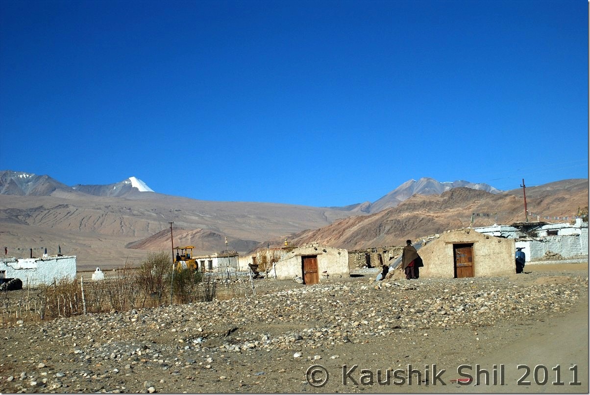
Hanle Village:

DSC_20888

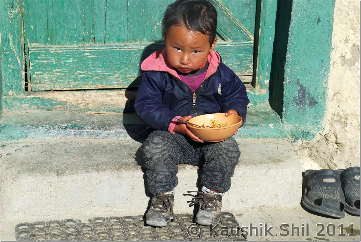
Smart Kid at Hanle:

DSC_20895

Kyun Tso

DSC_20938

The Dramatic Descent from Salsal la towards Chumur, blasted road at left and old road at right:

DSC_20966

After this we lost the pole markers and tyre tracks lead us to a grassland:

DSC_20977 DSC_20982 DSC_20984 DSC_20986

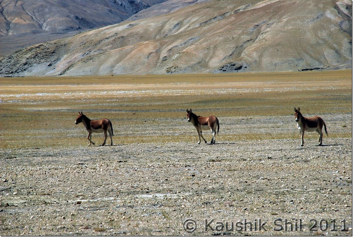
Only living being apart from us were these Kiangs:

DSC_20995

Here we identified Chumur ITBP and realized the actual road was on other side of the river, we somehow came here by loosing the actual road but now after Chumur we had to cross this:

DSC_21002

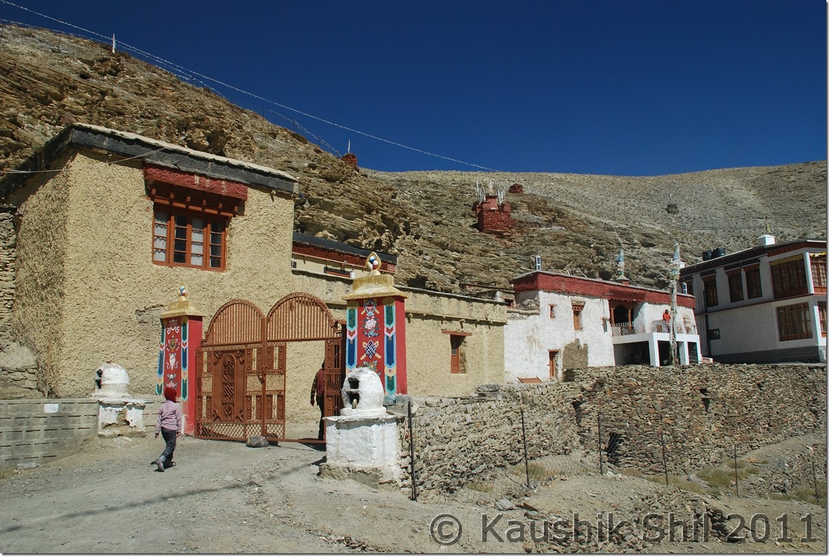
Chumur Monastery:

DSC_21006

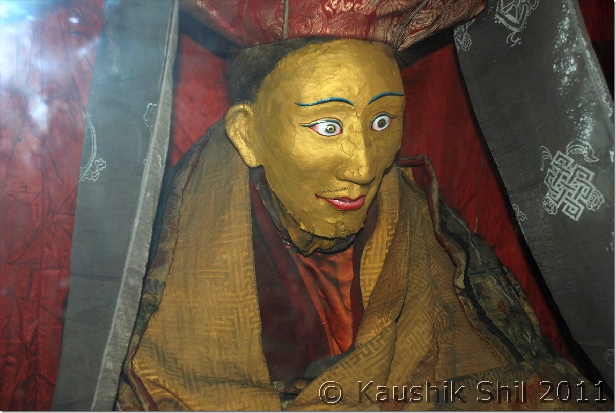
The mummy of Lama at Chumur, the one we saw at Giu in Spiti was more realistic looking, here they painted the mummy:

DSC_21008

We had to cross this Demon to reach Tsomoriri from Chumur, it was very scaring:

DSC_30001

It was really big and fierce one:

DSC_30004

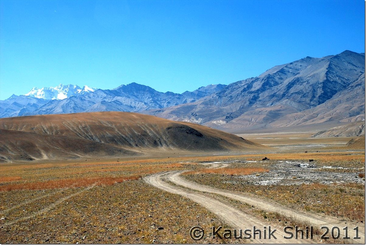
Absolute remote Changthang:

DSC_30013

Now holding the nerve and following the tyre marks were key, we had no GPS or Compass, which one must carry here:

DSC_30014

At last we got the blasted new roads to Tsomoriri via Charchagan La, it was a nice wide road:

DSC_30017

Amazing Tsomoriri all the way towards Korzok from Charchaghan La:

DSC_30031 DSC_30032 DSC_30078 DSC_30080

Previous: Ladakh – Merak, Chusul, Hanle, Koyul and Demchok, the last point on LAC between India and China

Next: Ladakh – Tsomoriri, Tso Kar, Tanglang La, Leh

Ladakh – Merak, Chusul, Hanle, Koyul and Demchok, the last point on LAC between India and China

03rd October:

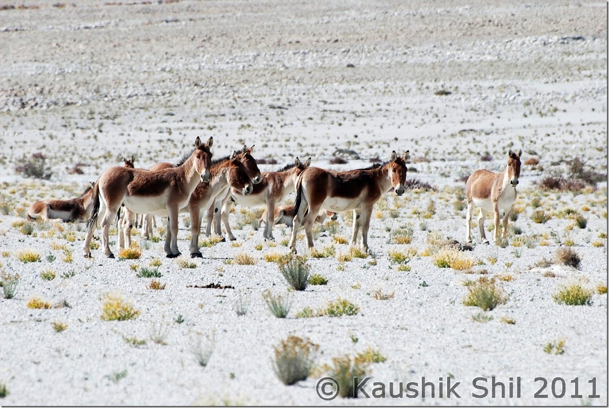
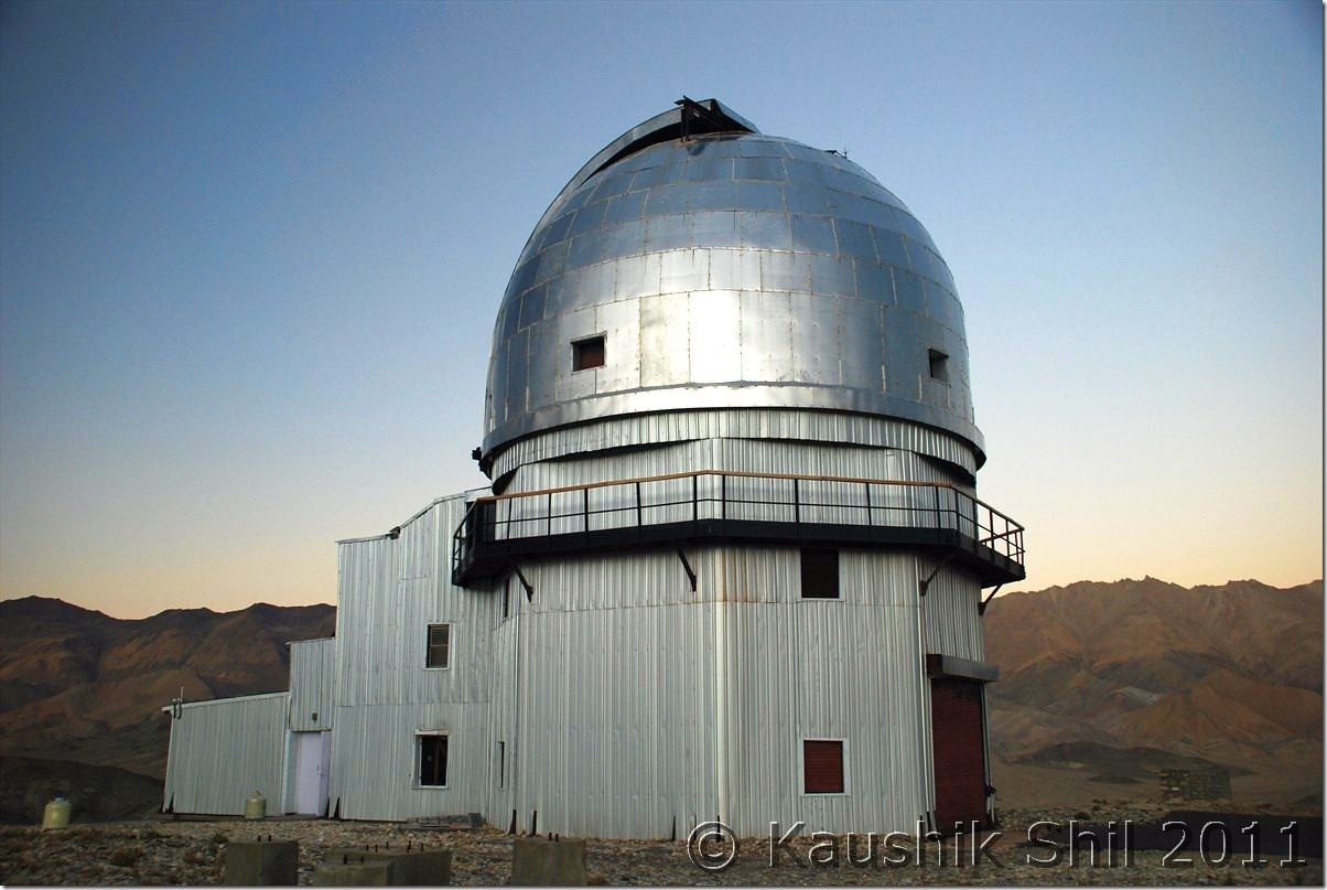
Today we have plan to reach Hanle through Chusul, another big day ahead and we still have awesome weather with us with no sign of any cloud anywhere in the sky. Hanle, most of us are aware having 3rd highest observatory in world situated at close to 15K ft height, Hanle was chosen for the telescope site among 6 candidate sites across India because of its clear weather after a rigorous weather analysis was done on cloud cover, relative humidity, wind speed and direction, solar radiation, rain/snow fall. The observatory having a 2m optical infrared telescope and 7 Gamma Ray telescopes (known as Hagar Telescope) was inaugurated in 2001, remotely controlled from Bangalore through Satellite Link. They usually open the telescope dome between 5.30pm to 6.30pm (of course changed seasonally with length of day and night)and cool the 2m telescope CCD with liquid nitrogen around 5.30pm. So if you want to catch those actions, you have to reach observatory by 5.00pm. We planned accordingly and started quite early around 8.00am. Two more families were there with us at Spangmik on that night, both were hit hard by cold and altitude left early for Leh and from this point onward we became the sole car to proceed ahead. The journey beside the lake was amazing and first village you would be crossing is Man and then Merak, where IIA is seriously considering to come up with another observatory soon. Both the villages are extremely scenic and picturesque. Few homestays are available too and one can seriously consider staying a few nights here as Spangmik now a days become quite commercial. My kid was so upset once she understands that the brilliant lake actually gone into China after a few km from Merak, she promised not to touch any Chinese toys for next few days This is the place where the terrain started becoming flat and you would certainly realize you are very close to plateau where you would find vast flat lands at an height of 4000+ mtrs with not any high mountains around. We were actually at Tibetan Plateau here. We met the first group of Kiangs (Tibetan Wild Ass) there and without wasting time took couple of snaps. The road or the trail approaches to the next big place enroute that is Chusul where your permits would be checked. After crossing Chusul, the road approaches to a 14500 ft pass Tsaga la with China in your left side and you would find lots of army outposts at your left on top of mountains, Regzin being an ex army was showing us many army installations at left which in a civilian’s eye you might have missed out. He was posted on many of these OP for months and explaining the hardship and difficulties in sustaining there for even few days. We started observing how the colors around the mountains started changing from here onwards. You can see so many various shades of colors on the mountains that’s probably unique in this part of India. First village crossing the pass would be Tsaga, it’s quite a big village but surprisingly you won’t find any shop here, not sure why though. Again Regzin comes very handy, he straight away approached one home there with few packets of Maggie and requested to prepare those for us. The people there or rather in remote of part of Ladakhs are amazing, always smiling and surely would greet you with a smiling Juley. They prepared Maggie for us and before that welcomed us with tea and biscuits in those typical ladakhi style dining rooms. Amazing experience it was. We requested a lot to accept some money but they politely refused to take any, even Regzin couldn’t manage them to take that, we were touched by Ladakhi hospitality. After Tsaga, you would start finding more green and reason is nothing but you are approaching Loma bend and there you are meeting mighty Indus again. Loma is another place where permits would be checked and this is where they asked us while going to Koyul from Hanle if we take the direct route or route through Loma, these words got registered and I realized there was a direct route possible from Hanle to Koyul. Just before Loma bridge, a diversion of road goes towards Nyoma/Mahe/Chumathang/Sumdo and just after crossing the bridge, road again diverts, one fork goes towards Hanle and other towards Demchok via Koyul. Our first destination was Hanle and the observatory, so we took first fork and it’s now completely paved road of 50km till Hanle from Loma Bend. That’s a welcome break from unpaved road that started from Lukung onwards and continued till Tasaga. The valley goes through Rongho and the vivid colors of the mountains, Kiangs running across the vast emptiness and the complete desolate ambience would surely touch you. We reached Hanle well in time and checked into the observatory guest house. Hanle has very few accommodation options including the observatory GH which is undoubtedly not only the best in Hanle but probably best in whole Changthang with 24 hours power backup, Water heaters and room heaters available. Getting accommodations in observatory GH is not easy, You won’t get any room on spot even if its vacant, you can’t even secure it from IIA, Leh Office. It’s possible only by establishing communication with IIA, Bangalore office, would be helpful if you know someone in IIA, ISRO, TIFR etc. The other alternatives there are PWD GH and few private home stay. We had a cup of tea at GH before we proceeded to observatory. The CCD cooling with liquid nitrogen from so close distance is an experience. The views of Hanle Monastery from top of the Mt. Saraswati was amazing. The moment sun goes down, watching the night sky is simply an awesome experience from here. I can’t remember watching so many stars in my life and the milky way was so clearly visible across 180 degree over your head. From observatory GH, you can’t make a call but you have a V Sat internet over there which was again a lifeline and I checked the weather from here, decided not to take Manali route with the Western Disturbance hitting the region from 7th October onwards. So I have a few extra days and you know my permit bears the name of Koyul, so all was set for next day, only question remains if there is a straight road to Koyul from Hanle or we need to go through Loma. Regzin couldn’t throw much lights but locals confirmed there were 2 roads to Demchok from here, one was extremely long but open through out the year but goes beside the border most of the times. We don’t have much hope on that as we have to come back on same day to Hanle for night stay, also being a border roads we were sure to be stopped without the names of the places properly mentioned in permits. The second road we heard was a new road just being built across the mountains and it should go towards Koyul but locals can only confirm the road is through till top from Hanle end, no one have any idea how the road is on other end.

At Spangmik:
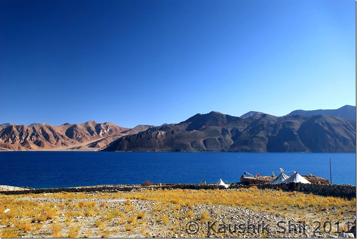
DSC_20378 DSC_20384 DSC_20392 DSC_20399

Amazing Fall Colors:

DSC_20406

Curious Kiangs:

DSC_20455

Approaching Chusul:

DSC_20487

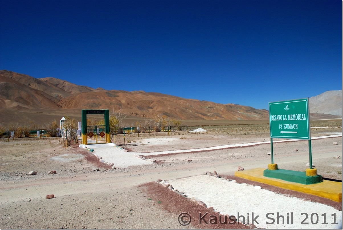
Rezangla War Memorial:

DSC_20517

Tsaga La:

DSC_20532

If you by chance go left of this road, you may easily land up in China, going close through the disputed LAC from Chusul to Loma:
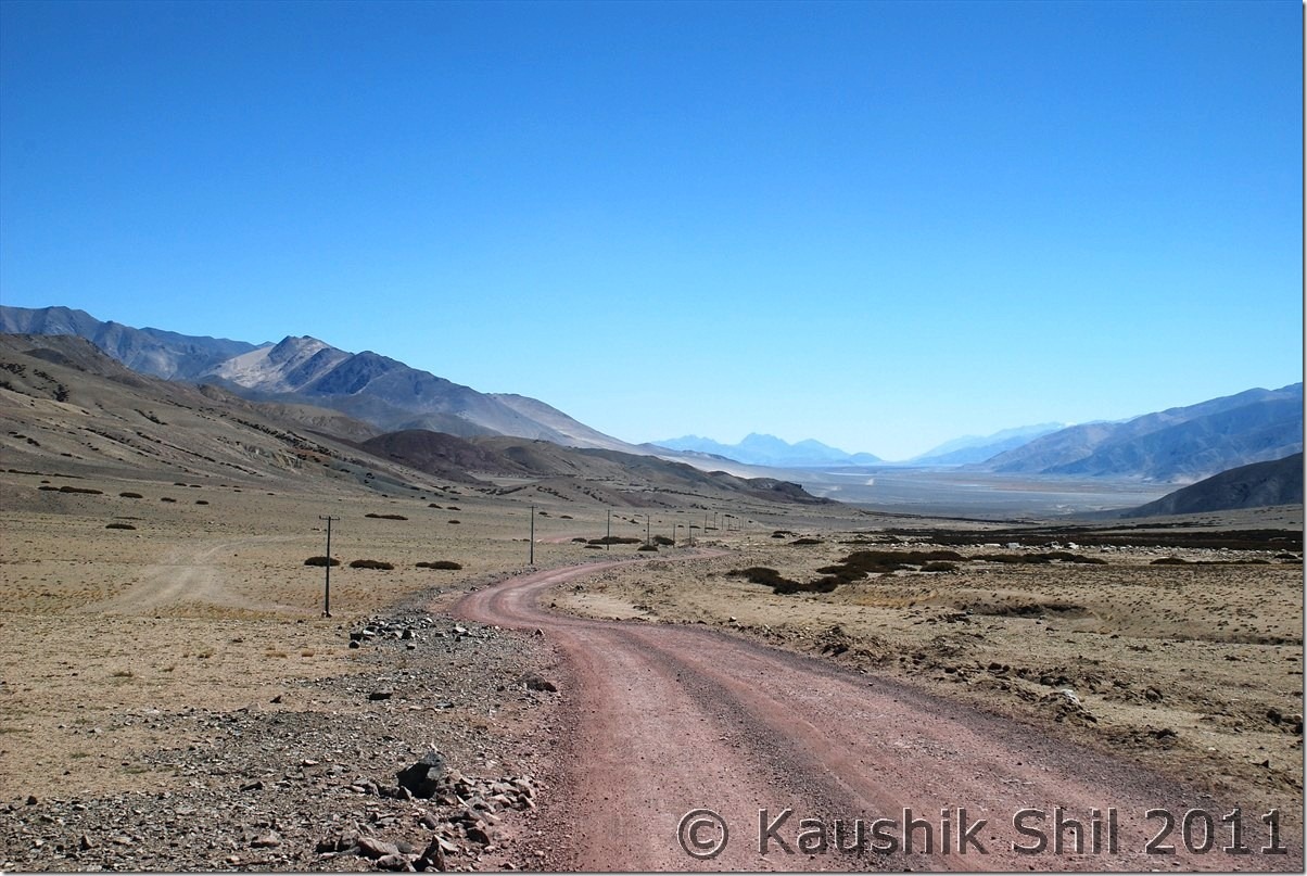
DSC_20539

Hanle Village from Mt. Saraswati where the observatory is located:
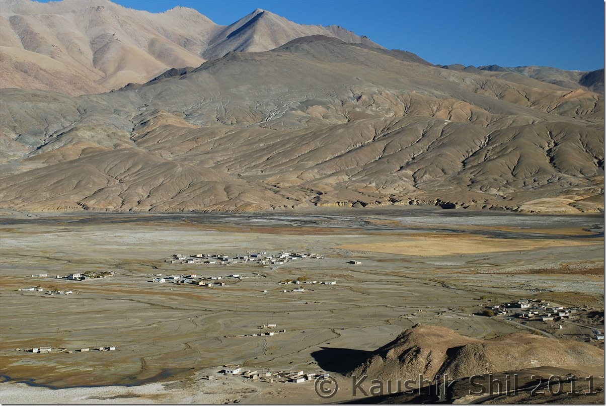
DSC_20641

Hagar Telescopes at Hanle, straight from a Sci-fi movie:
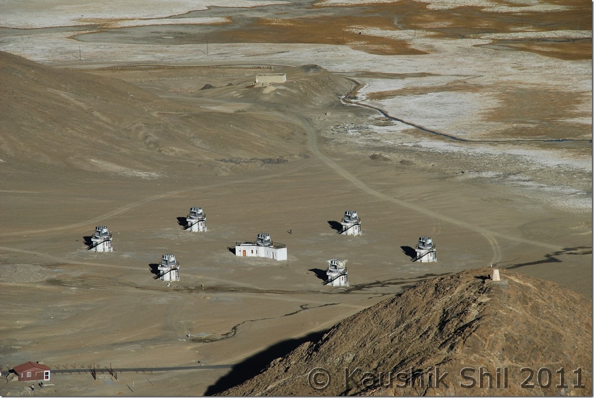
DSC_20642

Hanle Observatory:

DSC_20682

4th October

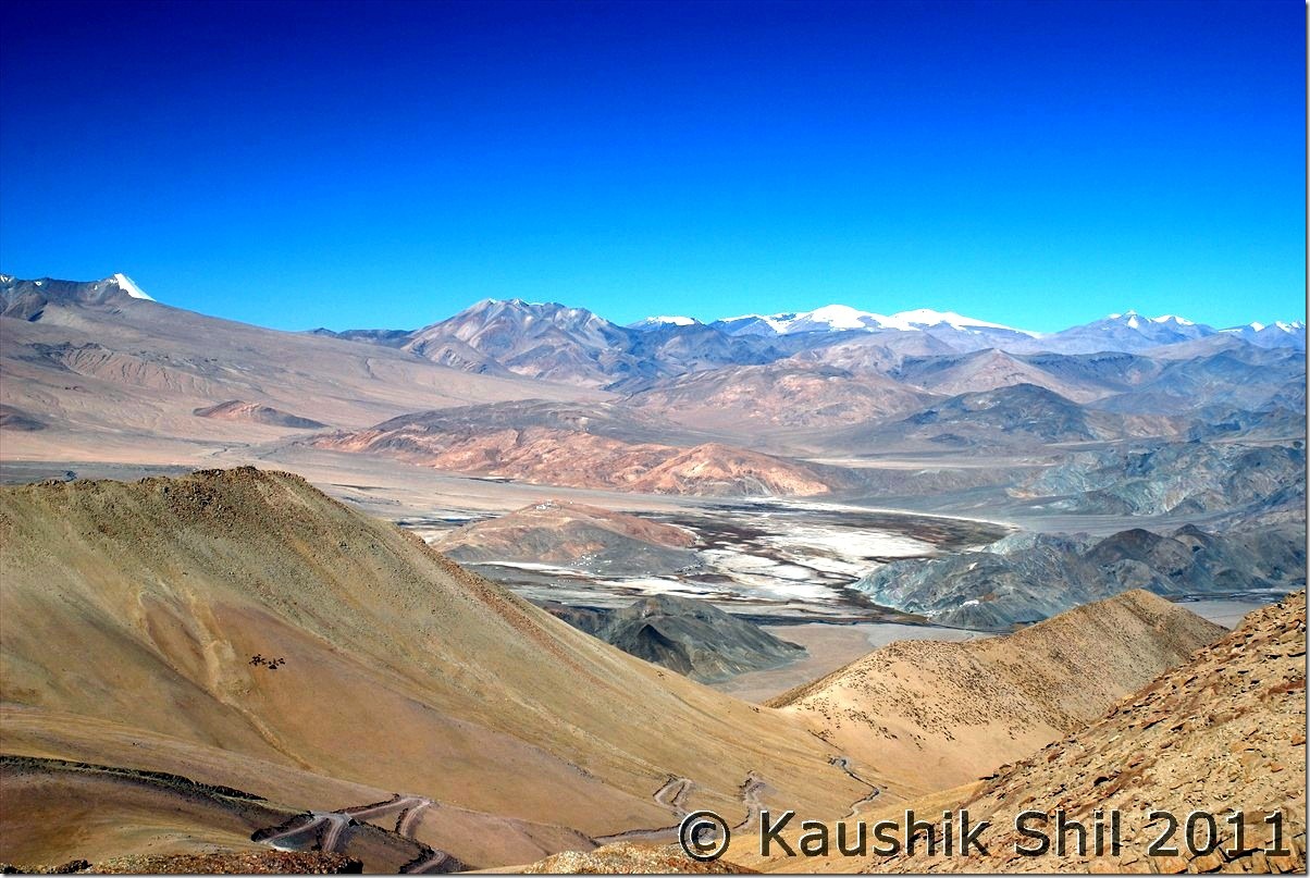
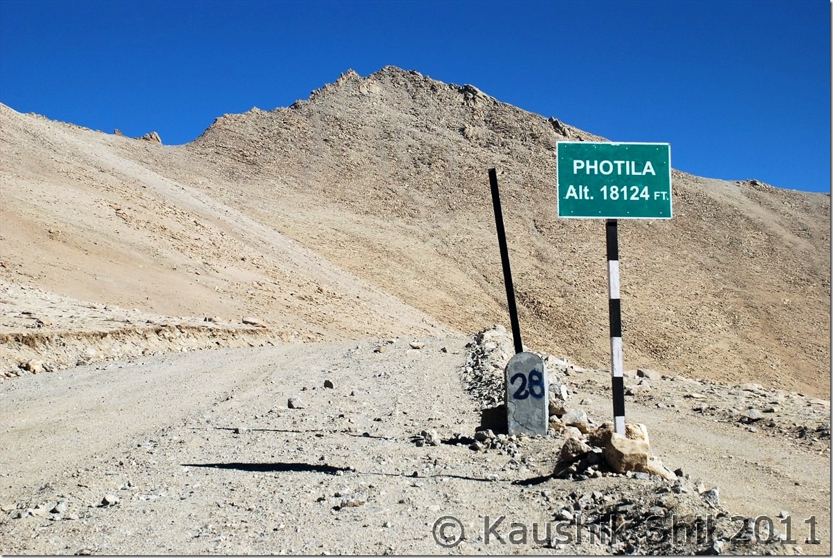
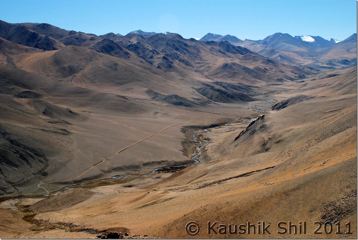
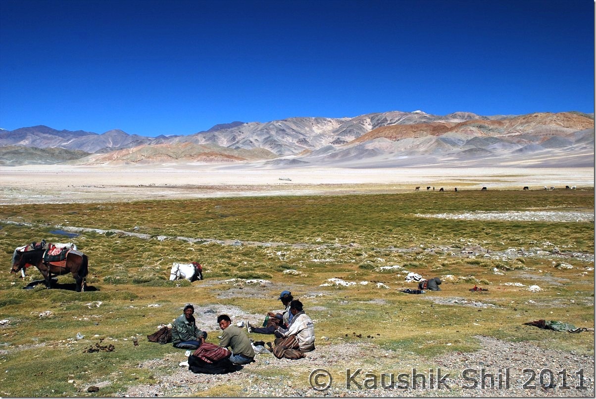
We decided to go for Koyul already and we knew the roads are not known, so thought of leaving as early as we could. Observatory GH serves breakfast at 8.00am earliest which would be too late for us, so we packed some leftover sabji of last night and the caretaker prepared few rotis for us in the morning and it’s 7.30am in morning on 4th we hit the road. Our first destination was BRO Camp near Hanle Monastery to get more information on road. We found a road sign near monastery showing Photi La at 28km and Photile at 55km in the opposite direction of Loma/Rango. Spoken to BRO Camp and they said Hanle division is responsible for building up roads till Top of the mountain which is Photi La and the descent on other end is being built by Koyul division and they have no idea on road in other side. Only thing we confirmed from locals was this side of the mountain was more rocky and on the other side soil content was more and ascent would be difficult from other end. So we made up our mind and decided to ascent from Hanle end and in case we don’t find the route we would have to turn back. The road was paved and the best part was out of 28 km to top, 18 km is tarred as we were informed. The ascent was completely desolate as expected and extremely steep, it was steeper than Wari La ascent. When we reached 18km, the tar road ends and found a BRO Camp there, spoken to the people there, they confirmed road was blasted till top and we could go till that. That’s another 10 km, completely of loose stones and boulders and a very steep climb, we realized we have gone up significantly in those few km, the Hanle observatory was clearly visible at a distance much lower height. Few more switch backs and we reached the top, Photi la is the top and the height shown as staggering 18124 ft. We were very happy to be on the top, taken few snaps, the Hanle valley can be seen from top but you can’t see anything on other side as it was obstructed by mountain range, amazing scenery. After so many days in the region we still have some breathlessness at the top, it was a great height, no two words about it. After sometime at the top, thoughts of descent started coming into our mind, now the problem starts, we were looking at the descent and it’s just blasted the mountain and nothing else have been done, now going back all through to Hanle was risky with so much loose rocks and sharp boulders for first 10km with steep descent and that means we won’t be having any time for Koyul / Demchok. Now we are in a precarious position, we understood we had to take a risk whichever way we take, going back to Hanle means known road but missing Demchok, going forward means unknown road but may be reaching Demchok is a possibility and from top we could see the blasting itself was not completed after some turns, but as Hanle division of BRO said they are not building the road, logically we concluded that definitely some road exists till bottom else roads can’t be blasted at the top in this end. With just that hope we started our downward journey towards Koyul Valley. It was a bone chilling experience, after a few turn we understood we are moving just in momentum as it was no road practically and as usual the photography completely gone out of my mind. All of us were tensed and we were literally removing stones from road in every 10/20 mtrs to avoid underbody damage of the car and making our roads. Time seems to be too long and absolutely no other lives could be seen anywhere. We were extremely lucky as the weather remained dry for almost 2 weeks then else the muddy stretch we faced in between was impossible to cross had it been raining in last 2/3 days. We saw lots of dozers around and that’s only hope as if someone is working there. After almost 2 hours we could find a BRO truck at a much lower height coming slowly, the first encouragement in almost 2 hours of downhill drive. We knew Photile was just 27km from top but didn’t understand what it was as none in Hanle had any idea on that location. We found another road diverting from main road towards down adding more confusion but gradient of the road was even more and we decided to be on the earlier road and tried our luck. We met the truck after almost another 45 mins of arduous descent. The BRO people assured us we are on right track but surprised why we took this road as it’s not open for cars and even locals don’t take this route for its killer gradient. Its there we knew the other road towards down was old road used during 1962 Indo China war and now abandoned. This road is part of the new roads being built along the borders of changthang and ladakh. Photile is point where this road touches the road from Loma – Koyul and it’s southern extension. I am not sure where the road towards south was going but BRO mentioned there is an ITBP check post towards right at Tee Joint at Photile. One can read the BRO procurement document below to understand few new roads from Photile – Demchok (Distance shown just 24km means it would be across another pass straight crossing the mountains), Photila – Chisumla – Zursar (a 80km stretch most likely the one towards southwards) are being built in these regions. I spoken to couple of BRO personnel and other locals who works for Indian Intelligence. What I understand India is planning a road network, though little late to follow what China has already done on the other side of LAC. Tsomoriri – Chumur – Salsal la – Hanle – Photile – Demchok – Koyul – Loma – Tsaga – Spangmik – Tangtse – Durbuk – Shyok – DBO – Saserla – Sasoma – Nubra is one of the possible link across the LAC.

BRO Procurement Document mentioning the new Roads

Article on Ladakh by Romesh Bhattacharji

The map in Wikimapia showing the roads quite correctly between Hanle – Photile – Koyul – Demchok.

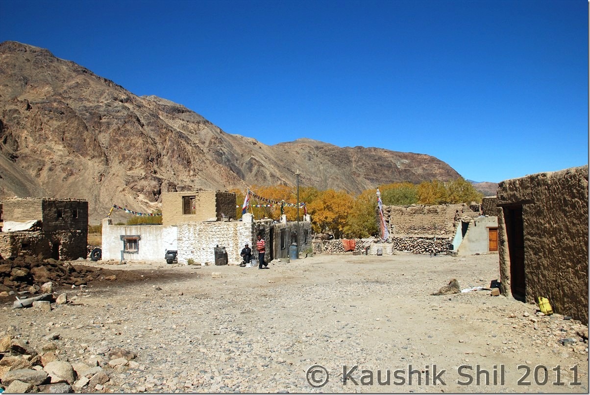
Once at Photile we took the left (Northwards) towards Koyul and in another half an hour we reached Koyul village and as we approached from south side, we escaped both Dungti and Fukche check post on our way. We found no shops in Koyul open and finally again Regzin was saviour to get some tea managed from a local house. This is the place where we had to take a call, should we go for army permit from Fukche, we knew we had to answer a lot of questions for not coming through normal route via Loma and also it would be time taking and we may be declined for permit to Demchok. But ideally you need to arrange an army permit from Fukche airbase for visiting Demchok. We discussed a bit and then took a daring yet risky decision to move towards Demchok without any army permit. Regzin was confident and he just told us to mention as his guest. Demchok is a village that got partitioned during 1962 war and a part of it is now in China and rest in India. What I understood later, people from other villages do visit Demchoks to their relatives and army normally doesn’t interfere to the cars going straight to village. Regzin mentioned we can’t stop for any photography as everyone watching our cars from OP and a slightest doubt could prove costly, so all photographs had to be taken from moving cars, so be it, only prayer was we should be able to reach Demchok. We took almost a sharp right turn before the Fukche base towards Demchok and my goodness the colors of mountains were absolutely brilliant, looks some kids have used their crayons to color them, you can see patches of all possible colors in those ranges. Both sides army OP were present and we were driving through Indus basin which is otherwise a desert with bad lands like Rann of Kutch. The feelings hard to describe in words, it’s terribly dusty with a tremendous hot sun all through. There was an amazing flat land of 5km which seems as if you are driving through a runway, simply magical and Regzin mentioned in army the stretch is known as “Chandigarh Airport”. We reached Demchok and there is a post there, we were scared now but luck was with us, it was unmanned for then, here one road goes up towards army camp and other runs in same height towards village. Regzin straight away drove to village and as a veteran of 1 year there, he knew many villagers, we again had nice rounds of milk and butter tea and Maggie there. The Rotis and Sabji we were carrying from Hanle was there too for a nice lunch. It was a great lunch sitting at the Village and in between there is a Nulla of 50 ft and on other side we could see Chinese army watching our every move. We gone to the dead end of the road in Indian side to the hot spring and spoken to our army too. They didn’t ask much apart from why we were wasting time there during Dussera. They were very nice persons, offered us tea, biscuits and my kid was offered an energy drink as well. Regzin introduced us as his guests and himself as an ex army of Ladakh Scouts. The road in Chinese side was much wider and better and gone beyond we could see into those mountains where as our road ends at this hot spring. It was finally done and in a much better way than reporting to army camp and submitting your camera there and then escorted by army to visit these same places though not at all a recommended way. Thanks to Regzin for his army background and of course our luck, it was possible. We started our return journey soon around 2.30 in afternoon knowing we would be extremely late to reach Hanle. Return was all through the magical mountains and Indus following you all through. We were not stopped at Fukche Post and we straight away leave Koyul and decided to back through normal route as Ascending Fotula from Koyul end was simply not possible without a 4X4. We reached Dhungti and Regzin somehow managed the check post guy, obviously he asked how we gone into without entering into the post. Regzin managed that and we started from Dhungti around 5.30 and after crossing Loma at 6.00pm we got the tarred road again which we left 10km before Photula Top. We reached Hanle at 7.10 finally with extreme tiredness but with a big satisfaction.

The Car Odo reading was as follows:

Hanle – 569
Fotula- 591 (28km but we took couple of short cuts)
Fotule 618
Karle (a small village) – 626
Koyul – 634
Demchok (Hot Spring) – 677
Koyul – 720
Dhungti – 764
Loma – 780
Hanle Observatory GH – 837

Hanle Valley and Road to Top from Photila:
DSC_20707

The height may show its lower than Khardung La but this is most certainly most difficult pass I have ever encountered in India, the approach is very steep and almost no road and no soul around with very less oxygen, this is pass that would beat your heart faster for sure.

Photi La Top:
DSC_20722

The Road to South towards the border, an ITBP Post is there:
DSC_20726

Truck Approaches on the dusty Road:

DSC_20735

Koyul Village:

DSC_20769

Towards Demchok with colorful Mountains and nice Meadows:
DSC_20794 DSC_20795

Note the Chinese Roads at the other side of Indus clearly visible:
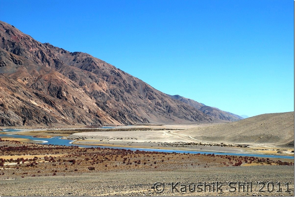
DSC_20810

Demchok Village and at the backdrop Chinese Watch Tower:
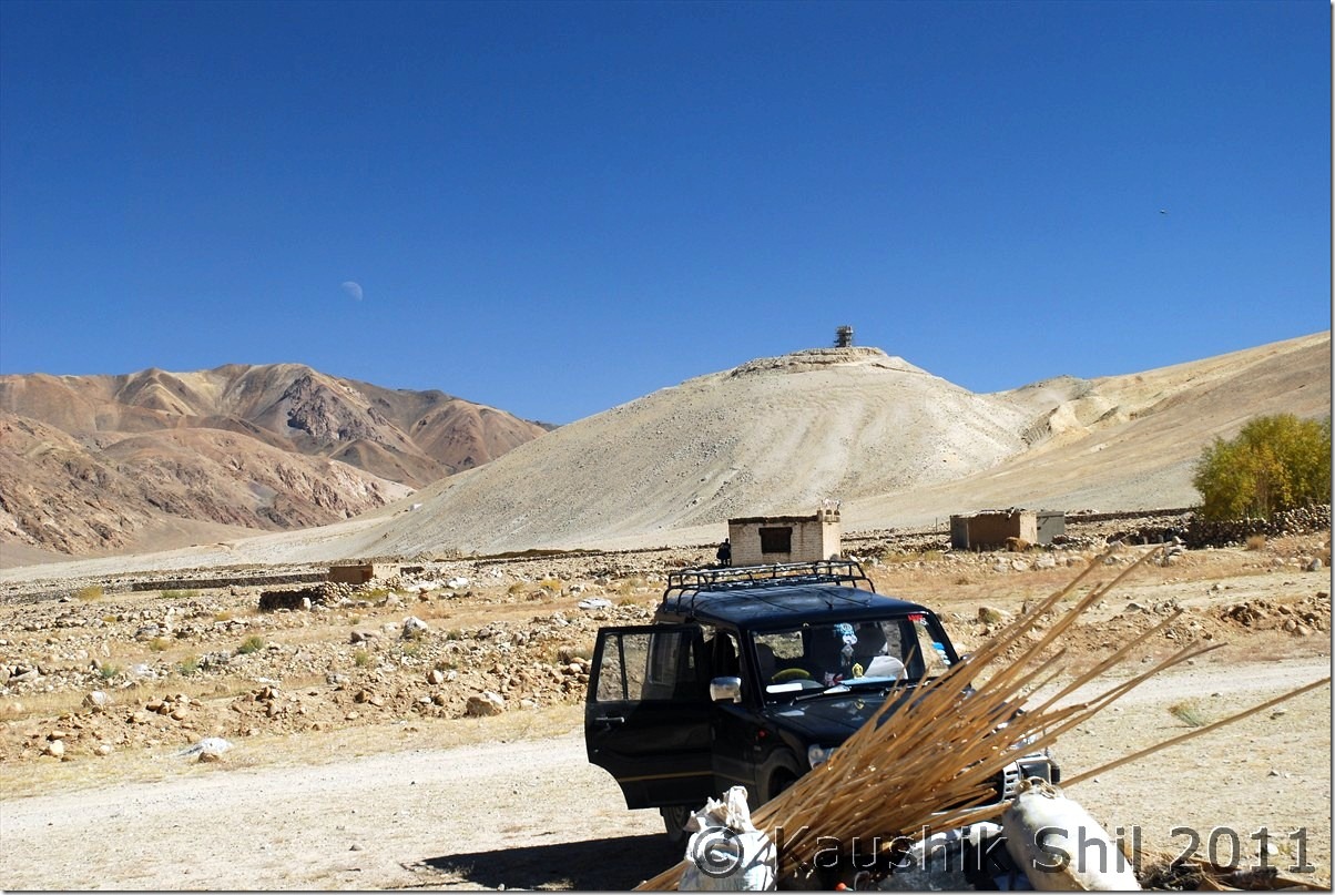
DSC_20820

JK State Transport Bus coming to Koyul once in 15 days :
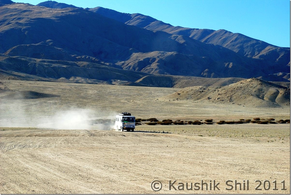
DSC_20859

Amazing Colors of Mountains in setting sun:
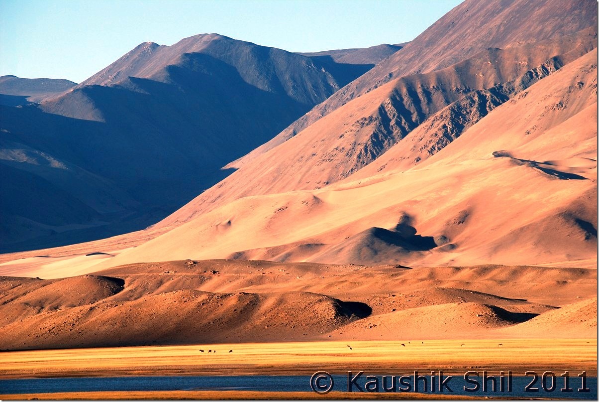
DSC_20875

Previous: Ladakh – Journey to Pangong crossing Wari La & Chang La

Next: Ladakh – Kyun Tso, Salsal La, Chumur to Tsomoriri
Ladakh – Journey to Pangong crossing Wari La & Chang La

01st October:

Our luck with weather was still continuing as we were in our tenth day of the trip and weather would play a crucial role for this day as we were to take Wari la – Changla route to reach Pangong from Nubra. Deskit – Khalsar was in normal route from where route towards Agham diverts and we gone through a completely desolate 31km drive where we were the only car. Excellent fun journey with Shyok river and lots of photo stops we reached Agham and here again two roads diverts, one through Wari La – Changla – Durbuk (total 134 km with 2 high passes) and other through Agham – Shyok – Durbuk route which doesn’t cross any pass and distance is only 66km. We enquired and a local portrayed a horrible picture of Agham – Shyok route and told the road was absolutely cut off in multiple places and we couldn’t reach there. We spoken to a BRO camp nearby and they said it’s under 93 RCC who owns that stretch and their HQ was at Shyok and they don’t have much idea on that part of the road but mentioned their supplies which earlier used to come through that road now stopped and currently brought through Wari La. Indication was clear that road was not through. We started our journey to Tangyar, the last village before the steep ascent of Wari La starts. This road was really desolate and the steepness would be hard to ignore, the lonely Scorpio was trying hard with snows around the road, the water source and nallas were semi frozen and a few yaks around are the only thing you could see apart from tall mountains around. We reached the top after almost a 40 km drive from Agham. The road was tarred all through and descent to Shakti was in even better condition. We were overjoyed after crossing Wari La and took a tea break in Shakti, a nice valley looks so beautiful with fall colors. Soon we started our ascent to Changla and reached the top without much difficulties and roads are superb from Shakti towards Changla and same remains good till Lukung where you reach the Pangong lake. At Durbuk, Regzin got diesels as we had a long route to take without any option of fuel. Here we spoke to 93 RCC on Agham – Shyok route and they told us categorically that road was not through but considering October water level, Scorpio could manage that road but then it was too late to utilize this great piece of information. Tangtse was very close in another 9km and we have enough time to approach the Pangong but we decided to take a break at Tangtse as it was 1000 ft lower than Spangmik and would help us to acclimatize at Changthang though we were already well acclimatized by then. But later we found our decision was good as we had light headache and suddenly feeling quite cold in that night, it’s highly recommended to stay a night at Tangtse specially if someone comes from lower height of Nubra directly. The best place to stay was Dothguling and luckily we got it completely vacant though people didn’t get any place to stay here for next few days, courtesy Puja Rush. Again Regzin managed the nice double room for Rs. 500/- here, offseason and Regzin’s bargaining skill was a lethal combo.

Khalsar to Agham with Shyok following us:

DSC_20001

Tanjiyar Village, last village before ascent to Warila:

DSC_20035

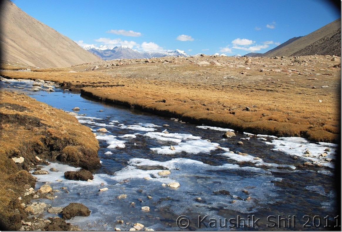
Approaching Wari La, Rivers started freezing down at that height:

DSC_20059 DSC_20066

At Wari La Top:

DSC_20073

Descent to Shakti:

DSC_20096

Amazing Fall Colors at Shakti Valley:

DSC_20125

Shakti Valley from Top, straight one towards Warila and right one towards Changla:

DSC_20138

Towards Chang La:

DSC_20143

At Chang La Top:

DSC_20160

Tangtse Valley from Top:

DSC_20168

02nd October:

We were little skeptic on the accommodation options at Spangmik and wanted to reach early there to evaluate the options and avail the best possible option what we could get. We already were informed most of the GH at Spangmik were closed for the season. Started around 8.00 in the morning from Tangtse and enroute took some time to spend with the marmots who are quite habituated in human interaction unlike the population we found in Zanskar. Some quick photo breaks and we are at Lukung where the famous Pangong Lake starts. With lots of snaps available across web and some Bollywood movies are shot, Pangong is quite a common name to all of us now but I felt a drastic change since I first time saw this heavenly lake in 2003. I remember we were only car in Sep begin for the 6 hours we spent in Lukung that time but this time at 10.00 am we found shops, tents, so many people around and lots of cars and that too in October. Hope the lake would survive along its fragile ecosystem under this tremendous onslaught of mass tourism. The famous 3-Idiots shooting actually started in Tsomoriri around middle of Sep 2008 and after a day shoot started, the whole region snowed out completely and that year the Sep snow was so heavy that thousands of people got stuck across Leh-Manali highway for 4/5 days. The crew cancelled the shooting and they came back next year (2009) July in Pangong as administration didn’t permit them to shoot at Tsomoriri during July as it was breeding time for migratory birds. That’s the way Pangong came into fame. The crew stayed at Dothguling GH in Tangtse for few days and they took snaps of all the actors/actresses at their GH, having lunch / dinner at their dining room and now have kept those snaps all across the GH.I was told by them that Aamir Khan was happy in this postponing of the shoot as in new schedule he got an opportunity to shoot the last scene at the fag end of shooting which was not possible if it would have been done as per original schedule in the beginning. Nothing surprising from a perfectionist like him though. We spent some time at Lukung though it was absolutely crowded and then moved towards Spangmik crossing few more shooting spots all of them are famous with the movie. At Spangmik the JKTDC GH which is now leased to locals were empty but they said they were winding up. After some requests they agreed to let us in and we got the nice double room just beside lake with attached toilets at 2500/- including all meals. Not really cheap but definitely cheaper than its actual price of 4500/- I was not really keen to bargain here as almost all the GH were closed down and we felt the chill last night at Tangtse itself which was 1000 ft lower. Checked in there, had hot tea and gone to lake side soon after. Here there was no crowd and you can enjoy the lake of your own. Great feelings to see the various shades of blue in the backdrop of brown and red mountains. Enjoyed the lake till evening but we started feeling the chilling wind across the lake as the time progresses and got an idea what to face in the night. The night was really cold and probably coldest in our whole trip and we found in morning the waters in buckets and pipes were frozen.
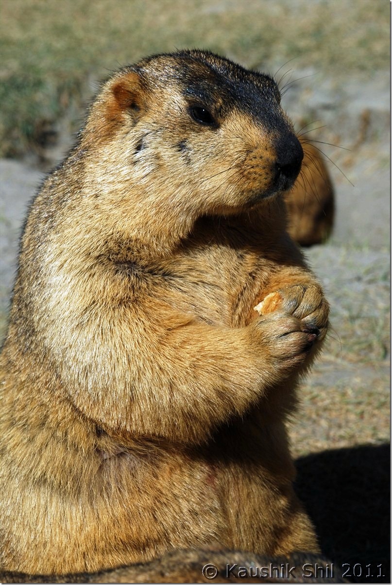
Friendly Marmots on the way to Lukung:

DSC_20203

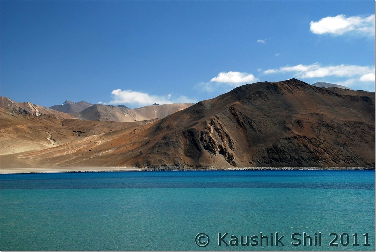
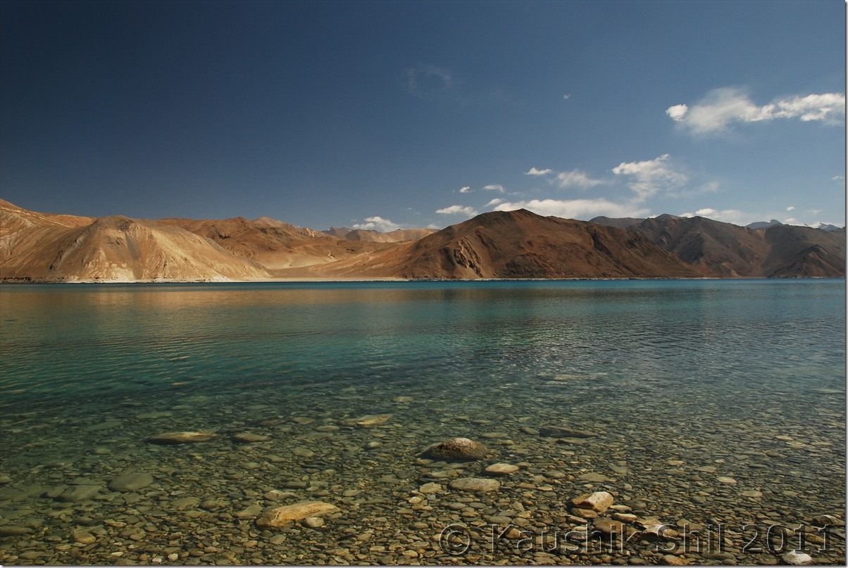
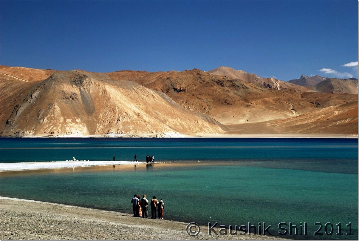
Magical Pangong Tso:

DSC_20235 DSC_20248 DSC_20258 DSC_20260 DSC_20265 DSC_20277 DSC_20280 DSC_20282

At Spangmik, lake was belong to us, very few tourist and the blue with magical fall colors:

DSC_20297 DSC_20300

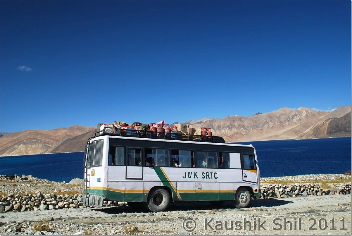
JKSRTC Bus at Spangmik, frequency once in a week:

DSC_20344

The lovely kid at Spangmik:

DSC_20348

Previous: Ladakh – Nubra Valley: Hundar, Turtuk, Deskit

Next:  Ladakh – Merak, Chusul, Hanle, Koyul and Demchok, the last point on LAC between India and China

Ladakh – Nubra Valley: Hundar, Turtuk, Deskit

29th September:

We started around 8.00am as 9.00 was the start of movement for Army Convoy towards Khardungla Pass. Our destination for the day was Nubra Valley and more specifically Hundar. Regzin was waiting with his Black Scorpio JK-10-2772 and it was the start of my second part of the trip. As we started relatively early and it was fag end of the season, roads were free from traffic and we found ice and even some small frozen waterfall enroute. We reached Khradungla top pretty quickly and didn’t face much of a problem as we were acclimatized by that time quite well. K-Top is a nice place to view Zanskar Range in your South and Karakoram Range in your North while you stand on top of the Ladakh Range. The road between South Pullu to North Pullu is pathetic but rest of the roads are quite good. We got down to Khalsar and then with few photo stops reached Deskit where we taken our lunch. We liked Snow Leopard GH at Hundar for its nice location and ambience and Regzin bargained it for 600/- for a nice double room with running hot waters. Brilliant deal and not only here, he bargained for me in every guest house in local language including when I was shopping in Leh market and saved at least Rs. 5000/- for me in his good negotiation skill during the whole trip. Late afternoon was kept for Camel Safari ride and it was really a fun for the kid. My kid surprisingly found her class mate there and was overjoyed (Both parents were surprised too as we never expected this and of course both took a week off before the school closes for Puja holidays without informing the real intention to anyone.) Moral is be prepared to find Bengalis in any part of the world during Puja Vacation

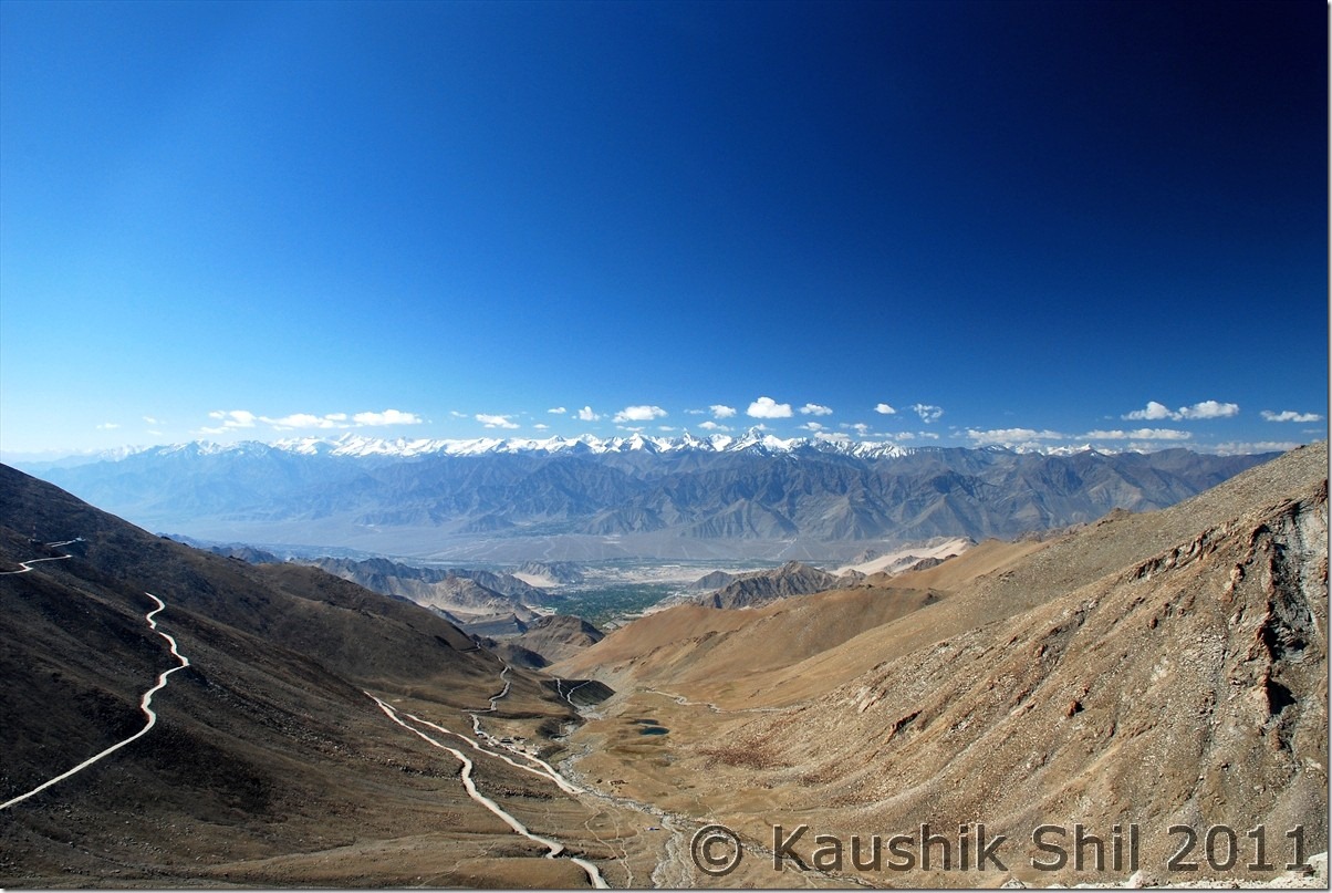
Looking at Leh from the road to Khardung La:

DSC_10118

Zanskar Range going West to East at South side of Leh:

DSC_10126

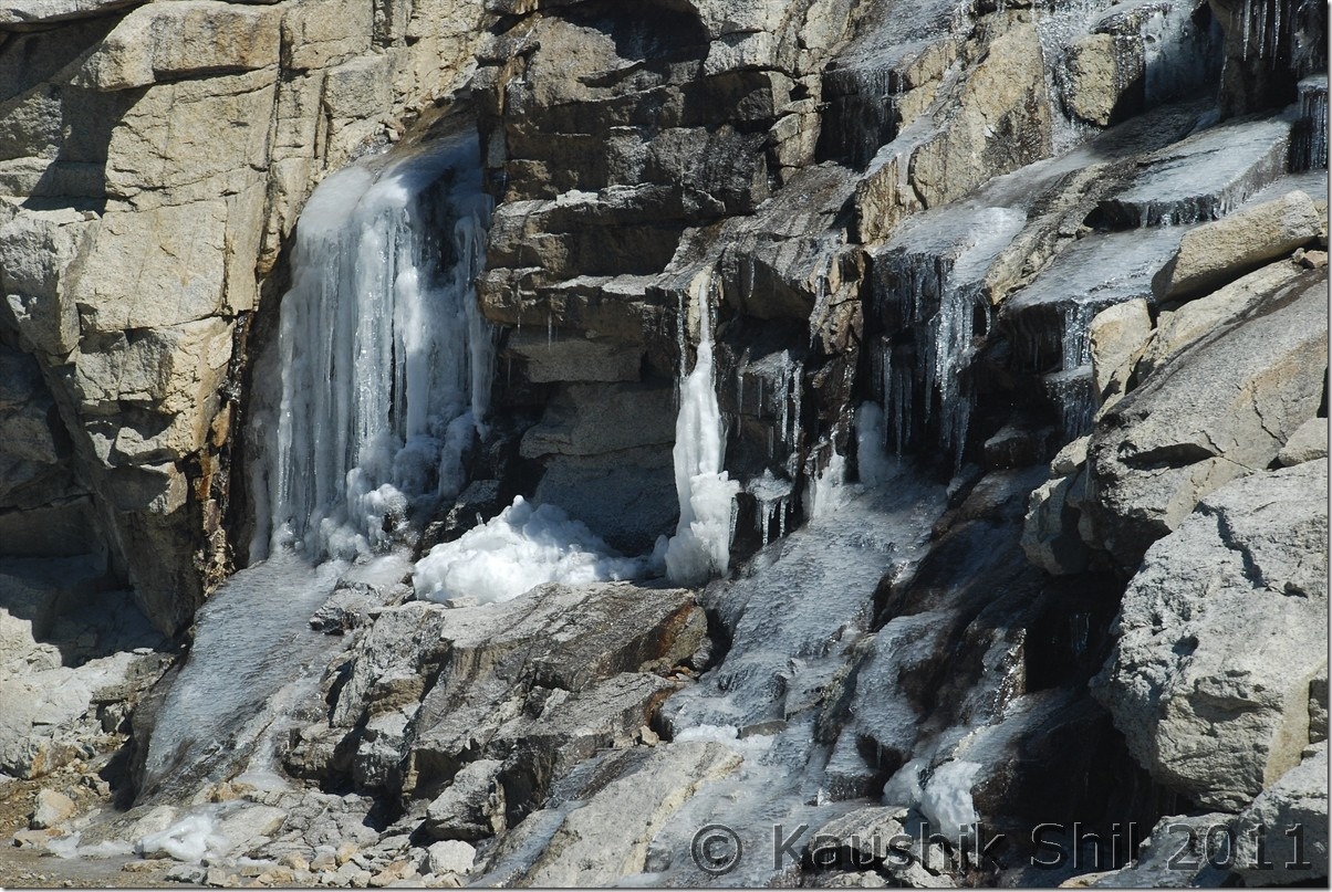
Frozen Water Fall on the way to Khardungla

DSC_10127

At K-Top:

DSC_10137

Local at Khalsar:

DSC_10173

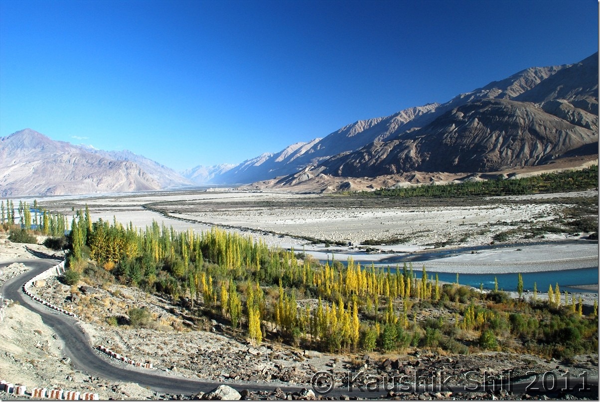
Shyok river would be with you in most part of Nubra Valley:

DSC_10179

Towards Deskit:

DSC_10190

Towards Hundar, crossing the Sand dunes:

DSC_10200

Snow Leopard GH at Hundar, very nicely located:

DSC_10208

Hundar:

DSC_10255

She is happy with Sands:

DSC_10274

30th September:

Another sunny day to start with and we were all ready by 8.00 in the morning to start for Turtuk, I was excited as this was a new addition to my earlier Ladakh experience. Roads are excellent all through and Shyok would be with you through out the journey. A stretch of road across right bank of the river now abandoned as it was land slide prone and new alignment was made from left bank. We crossed the bridge before Turtuk where our permits were checked and that was the border earlier with Pakistan before the war of 1971. During war of 1971, Turtuk came under Indian Control and the main difference you would find in Turtuk from rest of Ladakh, it’s in much lower height around 8000 ft (even lower than Kargil/Sonmarg) and it’s Muslim dominated and culturally completely different from Ladakh. A village walk is a must here and you would be amazed by the greenery and agriculture you would find here. Turtuk had some home stay and 2 luxury tents that usually costs 3500 but was offering double tents for 2000 to us but we had no plan to stay at Turtuk. So had our lunch and drive back to Deskit. Deskit had a Govt initiated Internet facility with V-Sat connection, where I was relieved to see clear weather till 6th October. It was 7th onwards IMD was expecting a Western Disturbance to hit the region. I made up my mind not to venture for Leh-Manali drive and rather decided to explore more on Ladakh as Koyul/Chumur were all in my permits. I had enough time as I had a tickets for flying out of Leh on 9th October. This is actually the last place for me to check weather over internet before Hanle as next day I decided to take Wari La/Changla route rather than coming back to Leh again. Evening was spent in Deskit Monastery, The monastery was renovated a lot since my last visit and car now can go much higher as I remember almost a 45 mins hike to top last time when I visited this in 2003. Deskit Monastery was under Hindu influence earlier and you can still find deity of Mahakaal and Yamraj there in a temple. The valley view from top specially in morning and afternoon is brilliant. I wanted to stay at Sand Dune GH as that’s the one I stayed last time but unfortunately all the GH in Deskit was lacking support staff during that time and food was not available. Only GH that was still functioning was Olthang and we checked in there. Once again Regzin got a nice bargain for a double room with running water at Rs. 600/-. We decided to give Sumur – Panamik stretch a miss as we visited that part last time and didn’t find it much interesting and may be later if civilians would be allowed to Sasoma – Siachen or Saser La – DBO, we would try that route again

Road to Turtuk:

DSC_10283

Shyok would be all along with you:

DSC_10307

So Sweet:

DSC_10323

Md. Ramjan at Turtuk, he was 23 years old when Turtuk came under control of India in 1971:

DSC_10326

Kareena, as her name suggests, fond of posing for a snap unlike others:

DSC_10345

We found these 4 inside the school building getting ready for the classes, so sweet they are:

DSC_10348

Looking curiously from back:

DSC_10372

Road is excellent, crossing Thoise Air Base:

DSC_10390

Hundar Again:

DSC_10413

Deskit Monastery:

DSC_10458

DSC_10469

Previous: Ladakh – Sankoo, Kargil to Leh

Next: Ladakh – Journey to Pangong crossing Wari La & Chang La

Ladakh – Sankoo, Kargil to Leh

27th September:

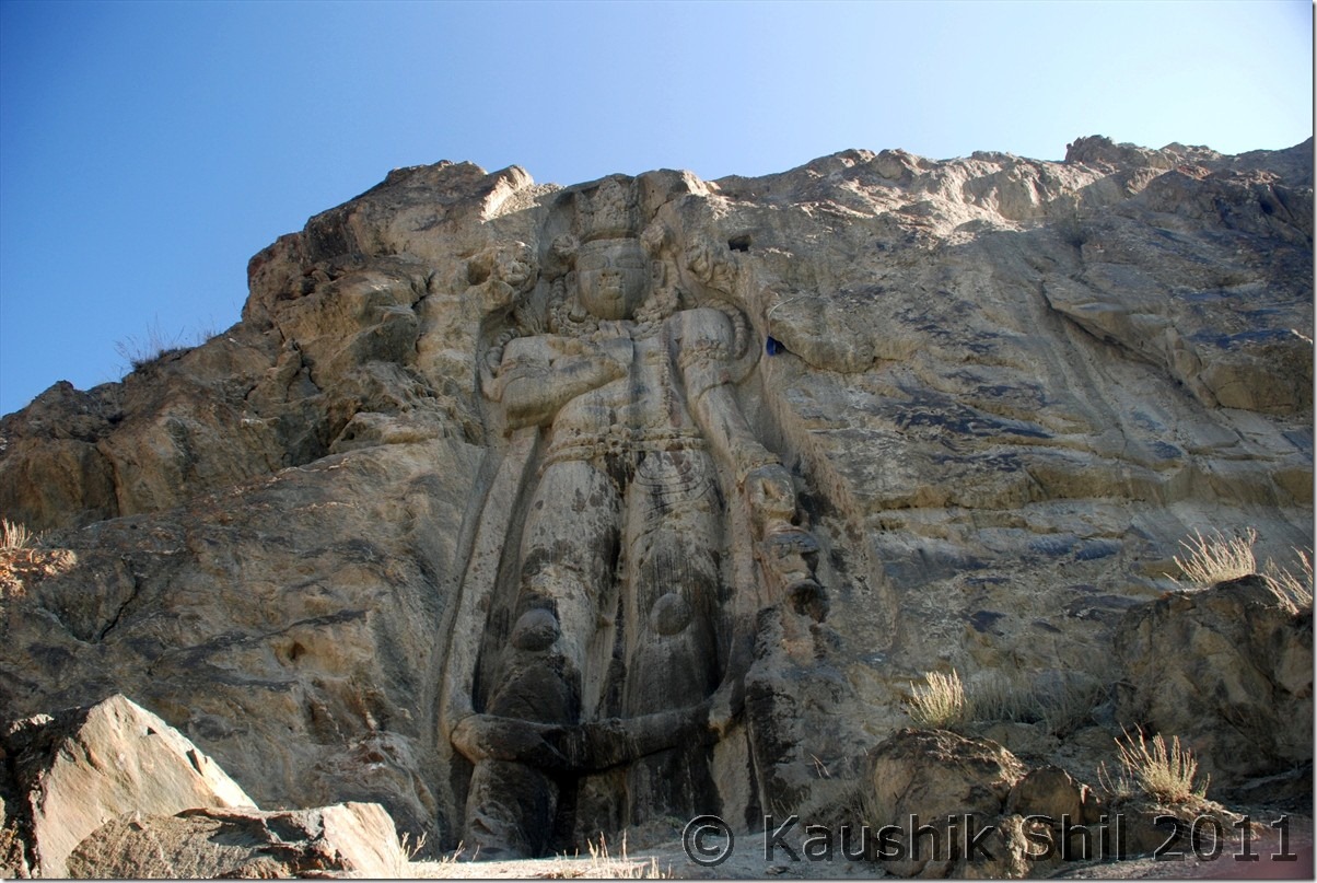
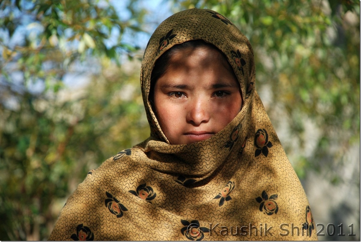
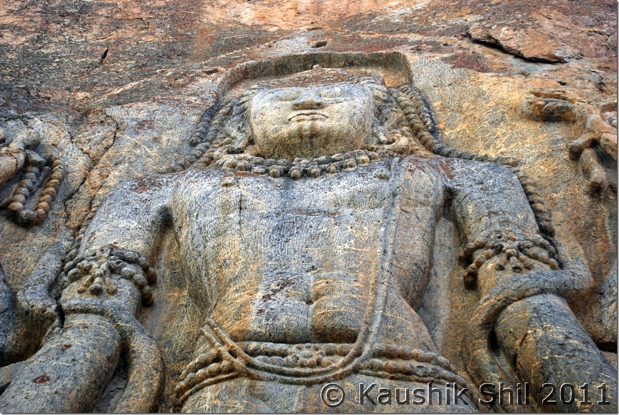
We started our day by visiting rock cut statue of 7 mtrs Maitreya Buddha of 7th Century at Kartse Khar village on the opposite side of Suru river from Sankhoo. Zainab, a local girl was very helpful in showing us the narrow walking path beside a stream towards the statue. Once we started from Sankhoo to Kargil, it was a welcome break from unpaved road and the surroundings were excellent with suru river flowing and the fall colors all around. We reached Kargil smoothly, refueled the Xylo and started moving towards Mulbek. In this stretch the road is narrow and one way and also blasting work was going on. We lost some time here before reaching Mulbek where we saw similar rock cut statue of Maitreya Buddha that we have seen earlier in day at Karshe Khar. The landscape, rock colors started changing and we clearly felt that we were approaching Ladakh once we crossed Mulbek towards Namikala and Fotula. Crossing Lamayuru through colorful rocks was a nice experience but I missed the Jilabi Road (Winding road of earlier years through top with much better views of surroundings). We had a very late lunch at Khaltse and when we approached Nimmu where river Zanskar and Indus meets, it was approaching dark. Reached at Leh around 7.00pm and straight away proceed to Kidar Guest House, Double bed and absolutely clean and spacious room and having a nice garden in Fort Road less than a km from market @ Rs. 700/- was a pure bliss.

Suru at Sankhoo:

DSC_0901

Maitreya Buddha, Rock Cut Statue at Karshe Khar, just opposite side of Suru away from Sankhoo:

DSC_0908

The magical innocence would surely touch you, she took us to the statue:

DSC_0910

The palace of Karshe Khar kings, the statue was built during their time:

DSC_0915

Sankoo – Kargil Road:

DSC_0921

The amazing Fall Colors:

DSC_0923

Divine Calmness:

DSC_0928

Kargil Town, expanding:

DSC_0931

Rock Cut Buddha Statue at Mulbek:

DSC_0944

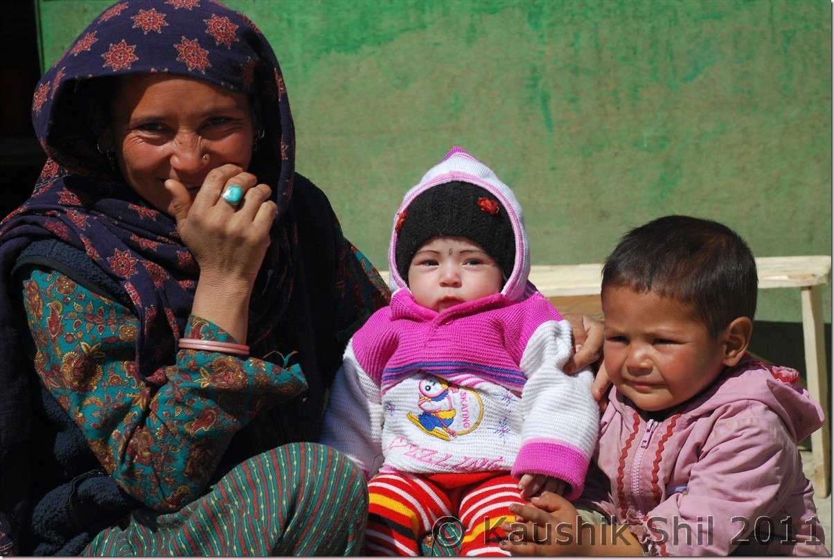
Happy Family, Happiness is oozing out in the smile, isn’t it?

DSC_0966

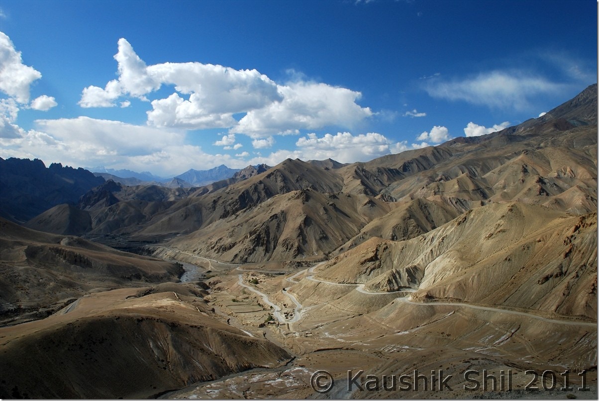
Towards Fotula:

DSC_0990

Lamayuru:

DSC_10011

Moonscape:

DSC_10030

28th September:

It was a big day and I had to get permits from DC office and I had few ambitious names in my mind. I reached there around 9.45am but didn’t find any official there. They came around 10.15am and mustering all my courage I submitted my papers in the front desk where I had the following list of places mentioned:

Nubra Valley, Turtuk, Wari La, Spangmik, Man, Merak, Chusul, Tsaga, Loma, Dungti, Koyul, Hanle, Chumur, Kyun Tso, Lam Tso.

The clerk kept reading it for 5 mins and then said followings

1. They can’t issue permits mentioning so many places where army mainly controls over civil administration.
2. Wari La is not an official route and if anyone undertakes journey though that it’s entirely his / her own responsibility.

I told him, I was ready to meet DC/ADC but want to visit those places, they asked me to wait until their senior comes and reviews my application. I was prepared with the application letter, photocopies of I-Card and filled up Permit form, 2 copies of each were ready for submission. In another 10 mins the senior came, reviewed my application and without asking a single question he issued the permit by just removing Lam Tso (that Harsh anyway suggested me to remove), I had to pay total 720/- including forest dept fees and permit fees for 8 days. I was overjoyed but just after coming back I realized I messed up the permit by not mentioning Nyoma, Chumathang and Sumdo and there by made my route forced through Hanle-Chumur-Tsomoriri which might be avoided otherwise.
Next was to visit IIA, Leh office to submit a copy of permit which I was instructed to do before proceeding to IIA, Guest House at Hanle. That was done quickly as IIA’s Leh office was next to Kidar GH where I was staying. Rest of the day was used for some small shopping and an evening visit to Shanti Stupa to get a nice view of Leh. Weather was brilliant all through and it was still showing next one week clear and sunny in IMD’s forecast. Hoping to get another great week we wind up the day quickly.

Kidar Guest House:

DSC_10062

Garden:

DSC_10063

Pure Ladakhi Style Dining Room:

DSC_10086

View from Room:

DSC_10092

Shanti Stupa:

DSC_10105

View from Shanti Stupa:

DSC_10094 DSC_10096

Previous: Ladakh – Exploring Padum, Karsha, Strongde and Bardan Monastery and Back to Sankoo

Next: Ladakh – Nubra Valley: Hundar, Turtuk, Deskit

Ladakh – Exploring Padum, Karsha, Strongde and Bardan Monastery and Back to Sankoo

25th September:

Once you approach Padum, the valley widens significantly and sandwiched between Zanskar Range at North and Great Himalayan Range in South. It’s actually a trekker’s paradise as many treks towards Lamayuru, Leh, Markha Valley, Darcha, Pangi Valley, Kishtwar starts from here in various directions. The long 274 km journey from Kargil and back in same way sometimes work as deterrent to visit this heavenly place. In next few years when Hanumil to Chilling would be connected along with Zanskar river Gorge, people can travel from Zanskar to Leh in just crossing 165km which is presently 500+ km via Kargil. Also road work is in progress between Reru and Zanskar Sumdo to connect Darcha in Leh-Manali highway to connect with Padum via Singo La. There is a plan of building a tunnel in Singo La as well and with Rohtang Tunnel if this can be done, Manali – Leh would be an all weather road bypassing it’s present alignment across high passes of Barlacha la, Nakeela, Tanglang la. You should have 2 full days for Padum to do some justice to this place. Unfortunately we have only a day to spare. We started our day with Zangla Palace which in on the way to newly built unfinished road towards Leh in North. The valley view was awesome and we enjoyed an awesome Horse Shoe Bend on Zanskar River enroute, straight from geography text book. Car can’t go till top and you have to walk if you want to go up on the palace to get a dramatic view of the valley. On the way we climbed a steep Strongde Diversion to see that Monastery as well. Absolute brilliant view from top. Bardan Monastery is on the southern side via the road towards Reru and it’s completely different view with deep canyons and gorges all through. The monastery was built on a hillock and commands a majestic view. Better visit the place around noon when sun would be at top so you get better lights for photography, else this stretch is difficult for photography with deep canyons around. The Bardan experience was superb, the monk opened the door, explained us on history of monastery and the two different sect in Buddhism, Gelukpa (Monasteries like Karsha, Strongde, Rangdum fall in this category) and Drukpa (Bardan, Zongkhul, Topchilling, Gurugandhal, last two are in Keylong fall in this category). They offered tasty namkeen chay (Butter Tea) and also offered us the lunch. Their hospitality would surely touch you. We came back to Padum, take a little break and proceeded to Karsha to get the dramatic view from Karsha towards Padum Valley. Karsha is a must visit during sun set and experience the last rays of light kissing the valley floor, awesome experience indeed!! It was our last night at Padum and without the availability of cook (most of the support staffs in these hotels leave by Mid Sep and it becomes very difficult to manage acco and food specially if you are a large group during end season), the owner was kind enough to serve mutton, very tasty indeed in that height and cold.

Towards Zangla valley:

DSC_0536

Strongde Monastery at right side top:

DSC_0537

From the Strongde Monastery looking towards Zangla Valley:

DSC_0558

Zangla Palace:

DSC_0598

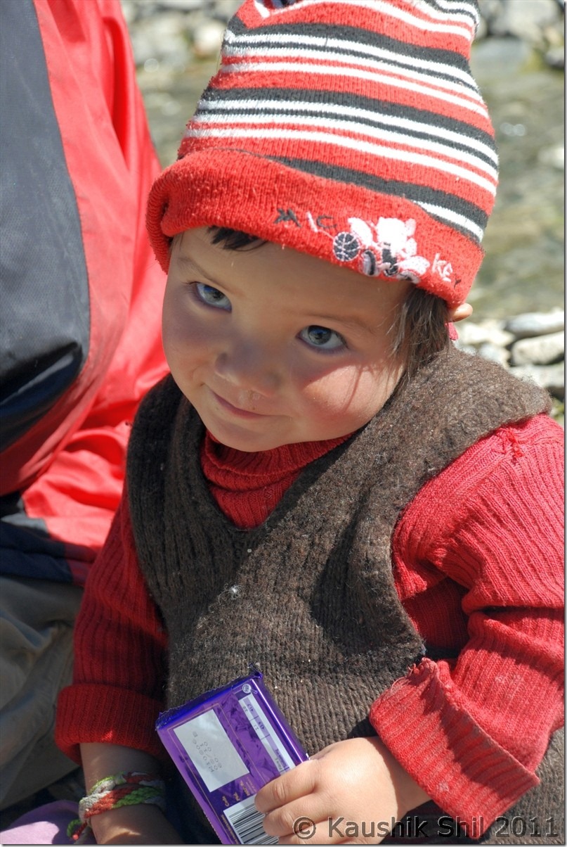
A Sweet Zanskari Baby, see the invaluable smile after getting the Cadbury:
DSC_0610

It’s all about colors, really awesome during fall:

DSC_0621

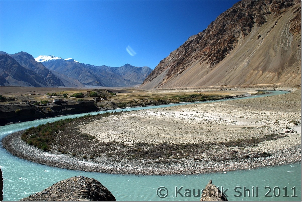
Zanskar River taken a Horse Shoe Bend, Straight from geography text book:

DSC_0623

What a place to stay:

DSC_0629

Bardan Monastery, a very dramatic location on a cliff:

DSC_0658

Kid with Lama, inside Bardan Monastery:

DSC_0683

Karsha Monastery from other side of Valley:

DSC_0702

Zanskar Valley from Karsha Monastery:

DSC_0721

Karsha Monastery:

DSC_0754

26th September:

I mentioned Padum Taxi Union is another bottleneck and they would force you to take their car for sight seeing and drop to Kargil. Here Kazim again taken a brilliant move, he managed a car requisition slip from Army where it’s mentioned the car was requisitioned for army purpose form Drass and having army guests in it. Zanskar guys asked a few questions but Kazim outsmarted them with this and we had an excellent trip with him all through with no pressure of taking a Zanskar car anywhere. The return had to be in same route and honestly little scary if you think you have to travel same 274km of road again. We started early, quick look at Sani Gompa and then heading fast towards Drang Drung Glacier. We parked the car before the Pensila Ascent from Zanskar side and tried a small trek to glacier which was very much possible but even a 30 mins walk in that height with chilling wind is difficult to withstand. Also going to glacier was easy as you go down and know where you are heading, coming back to car was quite difficult as you can’t figure height from below towards the road on top. I managed to hit the road at least 2 km behind the car was parked and had to walk. We spent little more than an hour in whole but it was an amazing experience being so close to a glacier. Rangdum was a stop for quick lunch and we crossed the worst section of Rangdum and Parkachik in an hour and half. We dashed to Sankhoo as next day we were planning for Leh but Sankhoo GH of JKTDC seems to be in poorer condition than Purtikchey, though markets were closeby and getting foods were easier here. Purtikchey had geysers in the rooms, Sankhoo didn’t have which was a necessary requirement in end September.
Retracing back the Zanskar Valley:

DSC_0783

Zanskari Girl with Yak at Skaygam Village:
DSC_0788

Drang Drung Glacier Again:

DSC_0849

Zanskar – The Wild West:

DSC_0852

Once again Suru Valley at its magical best:

DSC_0885

DSC_0873

Approaching Rangdum:

DSC_0875

Randum Monastery:

DSC_0879

Previous: Ladakh – Crossing Pensi La to Zanskar Valley
Next: Ladakh – Sankoo, Kargil to Leh

Ladakh – Crossing Pensi La to Zanskar Valley

24th September:

Got up early to catch magnificent glimpse of first sunrays on Nun-Kun Peak from Purtikchey. Nice serene ambience but later we understood it’s only the Nun peak that is visible from Purtikchey and Kun is towards left, out of vision, as the Suru river takes a U turn after Panikkhar towards Parkachik and Kun can be seen from Parkachik or Shafat Nalla areas. We started our long journey by 7.00 in the morning and after 13 km from Purtikchey just before entering Panikhar, we crossed the river and entered Namsuru Village to get a tarred bypass to avoid 15/20 odd km of unpaved road that goes through Panikhar. The paved road condition is nothing great but it gives you a brilliant view of Panikkhar village and Suru valley that widens here and presents a nice photo opportunity specially during morning time. From other side of the river, we could identify Tongol which is another 5 km from Panikhar on other side of river and the Nun base camp trek starts from here. JK Tourism has an alpine bungalow there too but not in a good shape. The road takes a turn along with Suru River and approaches to Parkachik which is around 10000 ft height and even had a high school apart from middle and primary school. The only college of the valley is at Sankhoo. Around Parkachik you would surely find students asking for lifts while going to school or coming back as public transport is almost non-existent in the region. Parkachik was famous for the glacier which you can approach sufficiently close if you don’t mind walking for some time at that height just after crossing the village. After Parkachik due to building up of an irrigational canal, you would find some blasting work in progress which would slow you down sufficiently and the worst stretch of road starts between this place and Rangdum which is the highest inhabited place in this route at 12500 ft and even in end Sep, Rangdum was only place in this route where water was turning ice at night, later we had this experience in Changthang but that was much higher and we were in October by that time but Rangdum is surely a place with extreme isolation in the middle of high mountains and one panoramic monastery. The whole valley turns extremely scenic between Parkachik and Rangdum and the special red/yellow/green/brown grass of September and the isolated horses roaming and Zanskari people in the picturesque valley would certainly keep a lasting memory. Rangdum Monastery can be approached by a short cut from the deluxe camps ground, one of the many deluxe camps of the Zanskar/Ladakh region that was still operational because Himalayan Car Rally participants are supposed to stay a night here here during their run. The monastery is in awesome location with an excellent valley view and a must visit for anyone crossing Rangdum. It carries the awful experience of terror strike in early 2000 when few terrorists crossed over the valley from Kishtwar side and hijacked a truck with German tourists and gunned down many monks in Rangdum monastery and finally abandoned the truck by killing the driver and abducting the Germans and fled through Shafat Nalla. You would still find an army camp beside the monastery which is quite uncommon for any monastery starting from Ladakh to Bhutan. Rangdum is the last place where you find something for your stomach before you hit Padum which was still 100+ km ahead. We got some last few eateries open and had a lunch with roti – Omlette. The ascent of Pensila starts just few km after Rangdum and you would find you start loosing Suru River beside you that started even a few km ahead of Kargil. That clearly indicates you are approaching Watershed region and that indicates the topmost point of the terrain around you is approaching. In all probability you would find a new river from other side flowing with you. The twin lakes before the pass, the pass itself around 14000 ft being highest point on Kargil-Padum road and of course the Drang Drung Glacier just when you start descent from pass would surely be the places to spend time and get few photo opportunities. The glacier is specially amazing and probably only one so close to a motorable road, it looks like as if a river is frozen there for good. After the glacier, you would enter the Zanskar Valley as Suru Valley ends before Pensila. Amidst of colorful mountains, you would find small village starts appearing in Zanskar Valley, Skyagam, Ating, Tungri are few big villages those appear before one reaches Padum. We found JKTDC GH has only one VIP room that is quite good but they didn’t want to give that room(rest don’t even have hot water), Gay Skit as recommended by Harsh was full, Kailash Chamling, recommended by Bijoy was also very busy with all stuff involved in arranging some local function in the hotel, we continued our search and finally zeroed in Marq GH, that finally turned up a brilliant hotel with big and spacious rooms and running hot water for 24 hours. The hotel which offered me 3000 in All meal plan per person per day over phone/ email was finally managed for 1000 for 2 adults and a kid with separate food, bliss of off season

First Ray of Sun on Nun Kun Peak:

DSC_0290 DSC_0291

Panikhar Village from Namsuru, opposite side of Suru River:

DSC_0321

Parkachik Glacier:

DSC_0333

Parkachik Glacier Up Close, see the Nun Massif in the backdrop:

DSC_0334

Unnamed Glacial Peak:

DSC_0349

Suru river flows through valley bed:

DSC_0354

The Road Ahead:

DSC_0367

Colorful Suru Valley near Parkachik

DSC_0369

Road goes towards Rangdum

DSC_0372

Amazing colors of Suru:

DSC_0379

Kun Massif from Shafat:

DSC_0382

Closer to Rangdum:

DSC_0406

Rangdum:

DSC_0415 DSC_0437

Drang Drung Glacier at Pensi La:

DSC_0468 DSC_0475

Entering Zanskar Valley crossing Pensila:

DSC_0483

First Village at Zanskar Valley:

DSC_0499

Previous: Ladakh – Srinagar, Sonmarg, Jojila, Kargil and entering Suru and Zanskar Valley

Next: Ladakh – Exploring Padum, Karsha, Strongde and Bardan Monastery and Back to Sankoo

Ladakh – Srinagar, Sonmarg, Jojila, Kargil and entering Suru and Zanskar Valley

22nd September:

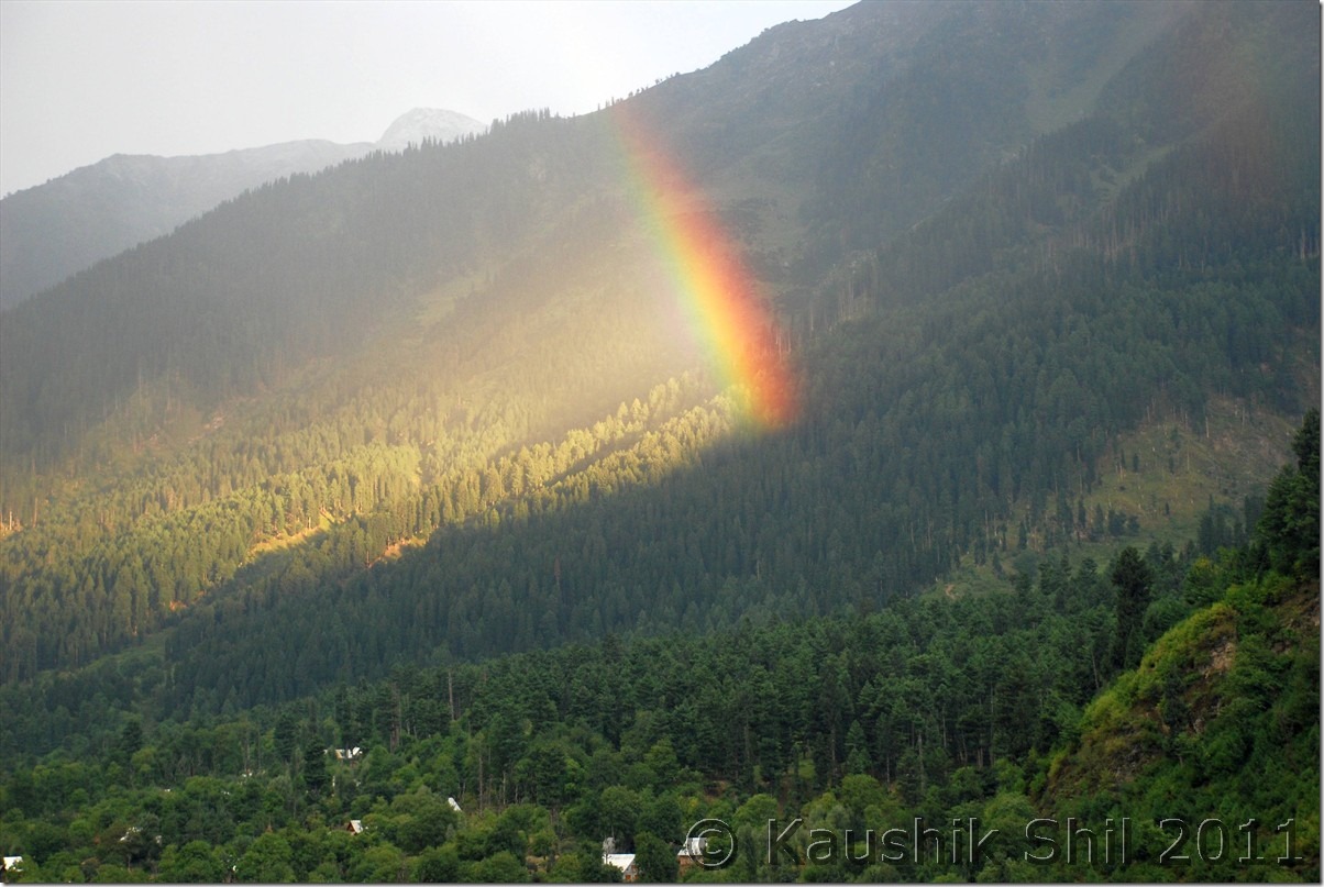
The previous night, when I was almost ready with all packing done, my kid suddenly started showing uneasiness and we found she had fever, a trip which was not expected to start in that way. We were little nervous but thought of moving ahead with the medicines we had. It was a 9.05 KF flight from Kol-Del and subsequently a 12.45 Del-Srinagar flight that took us to Srinagar by 2.15pm. We decided not to waste any time in a height of 5000+ ft at Srinagar and straight away proceeded to Sonamarg which was around 8700ft height. The checkout /baggage claims took hardly half an hour and were greeted by Kazim with his nice Xylo outside the airport. We did some last minute shopping of mineral waters, dry foods etc. from Srinagar, got some quick photo session near Dal lake and were on our way towards Sonmarg by 4.00pm. The NH1D to Sonmarg via Gandarbal, Kangan, Gund is around 3 hrs journey across amazing Kashmir Valley, road was superb. We were greeted by an awesome rainbow enroute may bring all lucks for our coming days. There are few options in Sonmarg regarding accommodations, Glacier view is nice private one but quite pricey with 2000+ room rent even in off season. We chose JKTDC with close proximity to market, nice ambience with running hot waters at 1000 for 2 adults and a kid. It was a bargain as 1300 is the official off season price if you try to book it through JKTDC web interface. The dinner was awesome there and fortunately the kid started showing improvement in her health but we felt the chilling nights even with all the blankets on.

Dal Lake Srinagar:

DSC_0027 DSC_0034 DSC_0046

On the way to Sonmarg:

DSC_0054 DSC_0064 DSC_0068

23rd September:

We knew about the restrictions of crossing Sonmarg towards Jojila between 6.00pm in evening and 11.00am in morning but we were told it could be managed if we start before 6.00am as no one would be there in the check post to stop us. Unfortunately that’s not the case and we were stopped even before 6.00am just outside the JKTDC GH at Sonamarg near the check post. No amount of pleading was sufficient to make them understand we had to start early as our today’s stop was even further to Kargil at Purtikchey. They just asked us to come after 11.00am which means loosing a day on the very start of the trip. Kazim came handy here, his brother was the driver of DIG, Kashmir and few phone calls there after, the same security guard came out and himself found out our car and made our roads with a smile and murmuring softly why we didn’t tell him that we were the guests of DIG. Unexpected but we were through by 6.15am. In India, connection is the key The best thing is we were the only car going in opposite direction and we had ample time to take snaps with no cars behind. The road to Jojila was one way and full of dusts and definitely in a bad shape specially the ascent from Sonmarg. The road towards Baltal to Amarnath diverts from in between and after some delay with lots of truck traffic we were on Jojila top by two and half hours. Jojila to Drass was nice with mix of good and bad roads. Just before Drass you would find the diversion to Mushko Valley which was in headlines during 1999 Kargil War. The same road now is through to Tulail and Gurez and one can go to Srinagar via Bandipore by making a loop. The road was recently inaugurated by BRO in 2010 and yet to be opened for civilians. Drass, the second coldest inhabited place in earth as the JK Tourism board displays was a small and nice town with heavy army presence. We tasted first Namkeen Chay (Salt/Butter Tea) of our trip here and we got addicted to it, it was really nice. Drass could be a good pit stop for lunch before Kargil and road from here onwards crosses War Memorial, a must see enroute and colourful mountains and valley and the valley starts narrowing down after this and you would find you are following almost the LOC and Kazim was showing us the signs of shelling from other side of LOC on the road side poles, trees, mountains all through this section during 1999 Kargil War. Tiger Hill, Tololing and other commonly uttered names during Kargil Wars can be seen across the mountain ridge and the sacrifice of our army would surely touch your deepest. Just before Kargil, you would find Drass and Suru river meets and though non descriptive, you would find Kargil as largest town between Srinagar and Leh in this route. Road towards Zanskar via Suru Valley and towards Leh bifurcates here. Our destination was Zanskar and we first met Mr. Golam Rosul, Tourist Officer, JKTDC Kargil who was in charge of reservation for all the alpine bungalows across Suru and Zanskar Valley. Surprisingly he greeted us in Bengali and later we knew he was posted first 2 years of his service at JKTDC, Kolkata and quite familiar with Kolkata. A very nice gentleman with good sense of humour he advised us to choose between Sankhoo, Purtikchey and Panikhar situated in 8500, 9500 and 10000 ft height respectively. Height of night stay was important as we were trying our best to acclimatize as quickly as possible. Sankhoo and Panikhar were closer to shops and had a better chance to get foods arranged in off season while Purtichey is more scenic with perfect frames of Nun Kun you could see from Bungalow. We chose Purtikchey but Mr. Rosul gave us papers for staying either in Purtikchey or in Panikhar in case Purtikchey was closed. The tar road ends near Sankhoo around 40km from Kargil but the road is very scenic and you could see fall colors all the way in this road. After Sankhoo, the unpaved road starts for rest of the 234 km towards Padum but locals expect next year paved roads would reach till Panikkhar. 13km from Sankhoo on unpaved road we reached Purtikchey and luckily found the caretaker of the GH nearby. No guest stayed there in whole month of September and he was surprised with this sudden arrival of tourist but somehow agreed to Rice/Dal/Sabji kind of dinner from the winter stock he had. We caught the last rays of evening sun on Nun-Kun and after dinner quickly move to bed but it was one of the coldest nights in our trip. There are only 2 rooms in the nicely located GH but most likely you would get them unless you hit the region in July/August peak season.
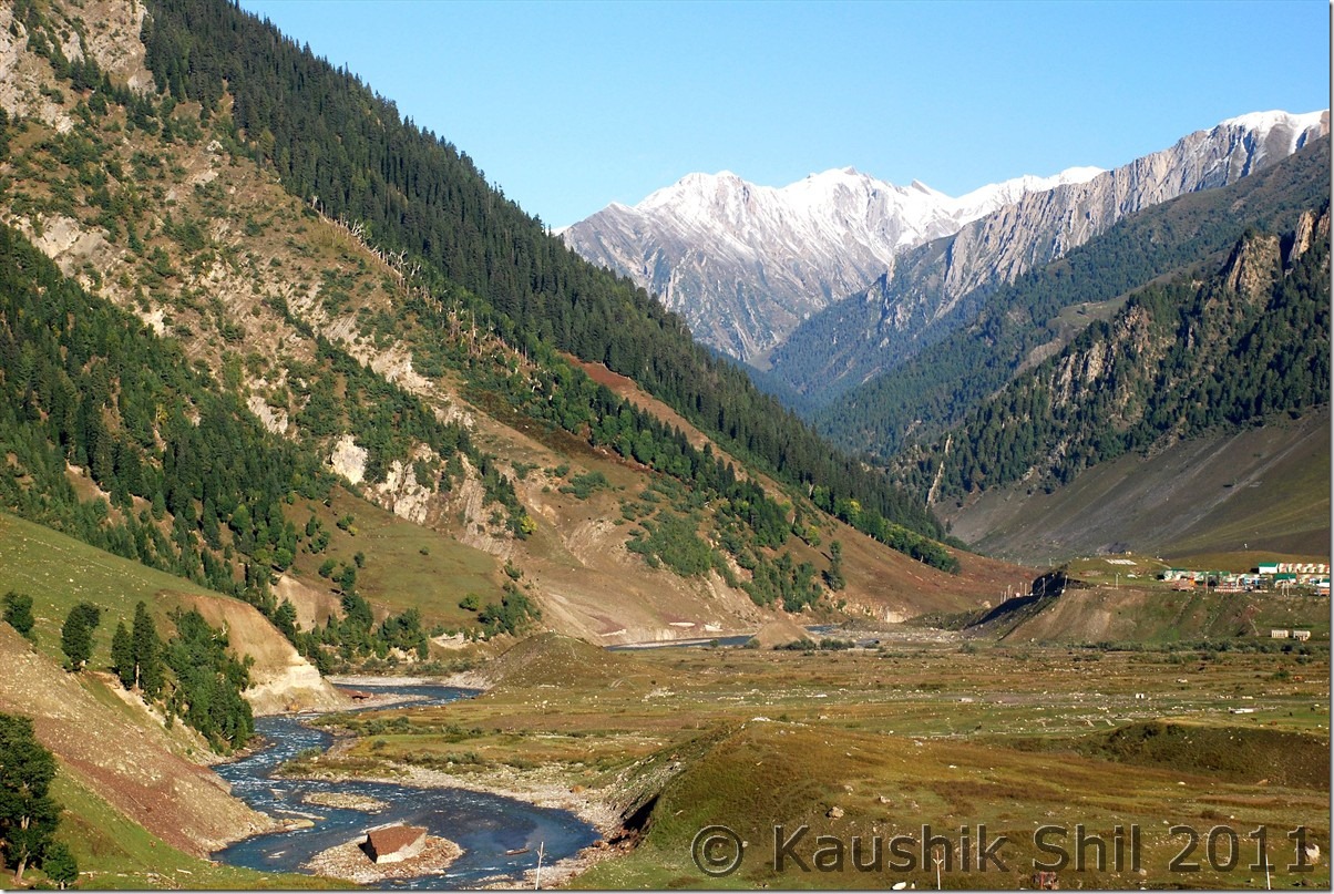
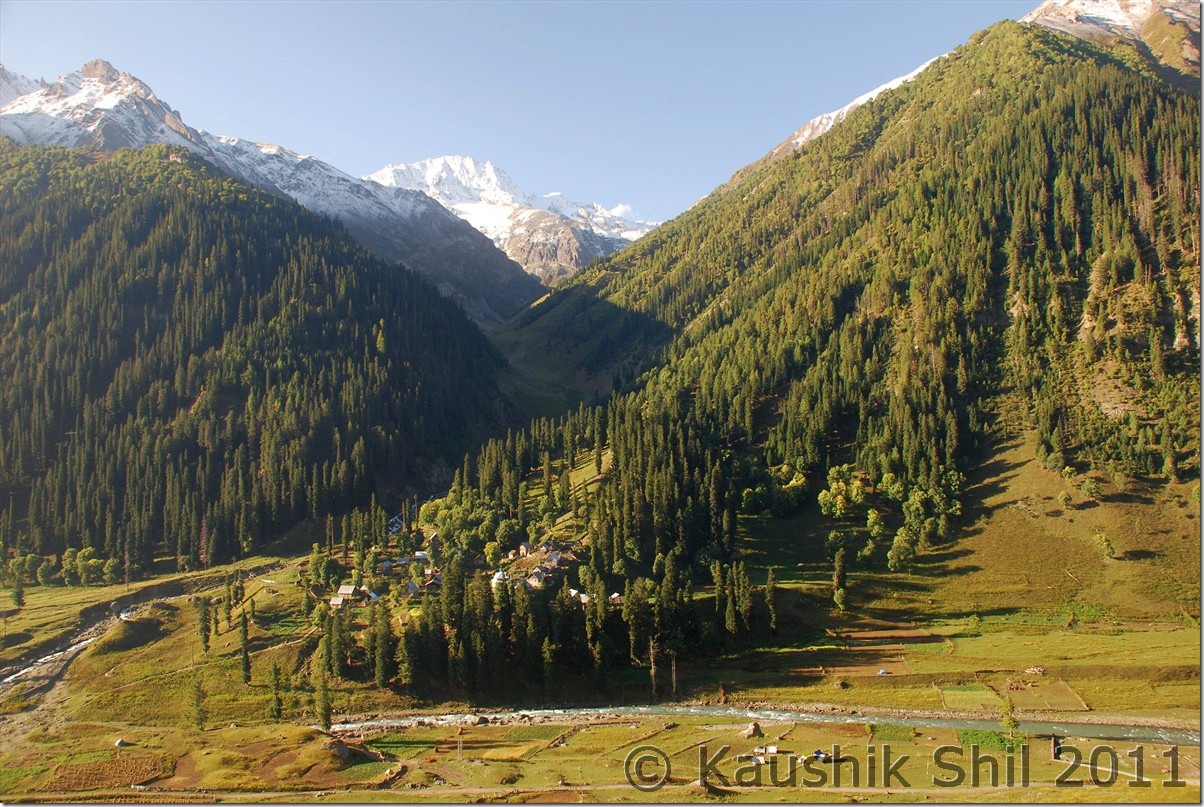
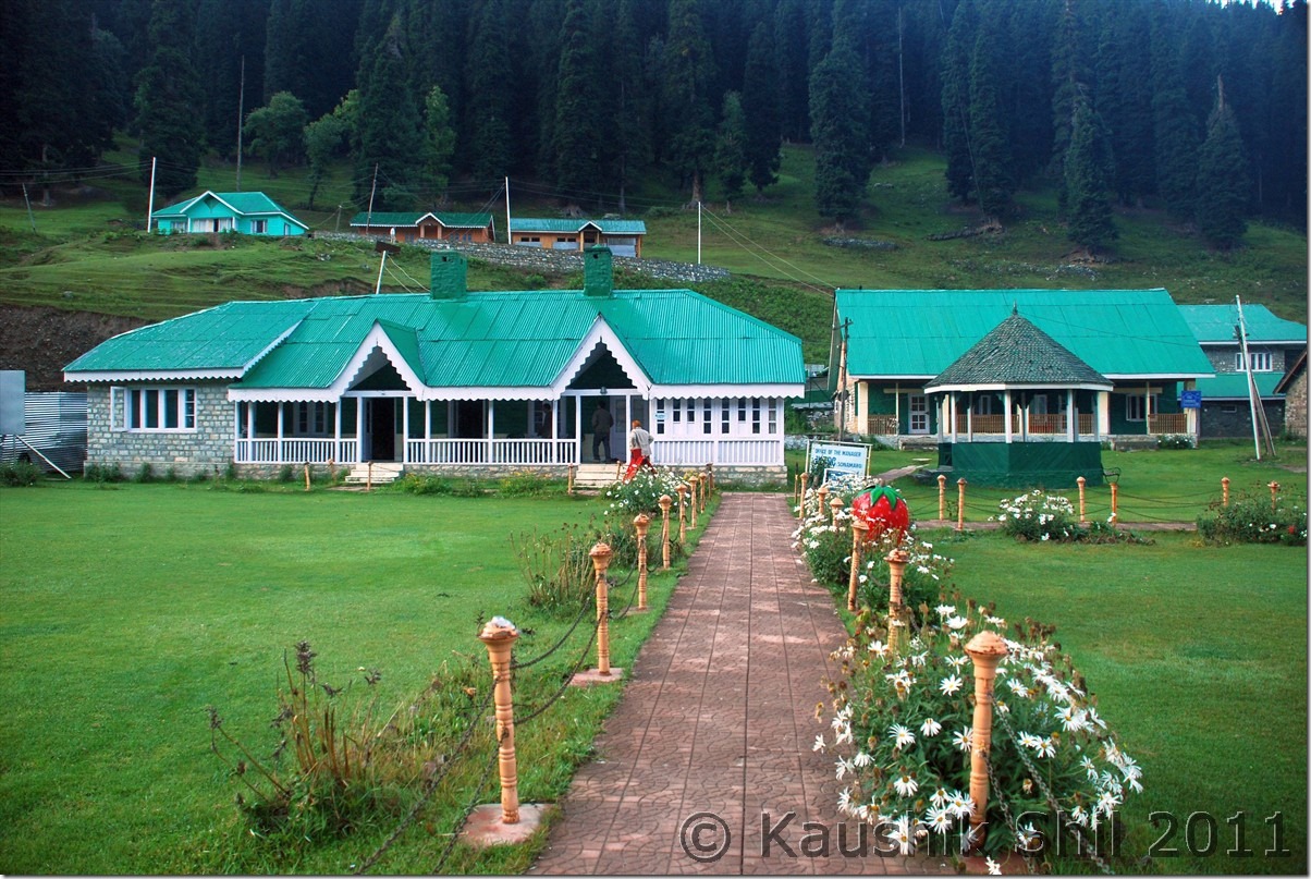
Sonmarg in the morning:

DSC_0075

See the trail below towards Amarnath Shrine via Baltal:

DSC_0085

Sonmarg JKTDC, an excellent value for money option to stay:

DSC_0072

Jojila Top

DSC_0100 DSC_0101

Towards Drass:

DSC_0150 DSC_0175

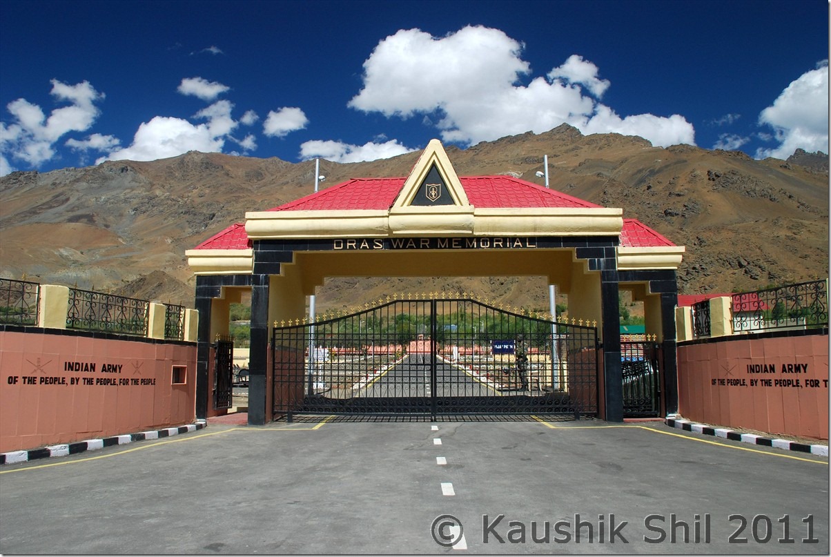
Drass War Memorial:

DSC_0221 DSC_0225

Just before Kargil, Drass and Suru river Meets, we will catch Suru from here and it would be with us till Pensila:

DSC_0248

Entering Suru Valley:

DSC_0261

JK Tourism’s Alpine Bungalow at Purtikchey:

DSC_0288

Previous: Ladakh – Exploring Zanskar, Ladakh and Remote Changthang – Introduction

Next: Ladakh – Crossing Pensi La to Zanskar Valley